Lubbock Today – Initial Look

This morning iin the TX panhandle there was an existing west-east line of thunderstorms stretched across the northern portion of the LBB CWA. A warm front was aligned SW-NE across the AMA CWA, with a dryline across the southern panhandle and a nice dryline bulge south of the CWA.

GOES-R PW
GOES-R PW
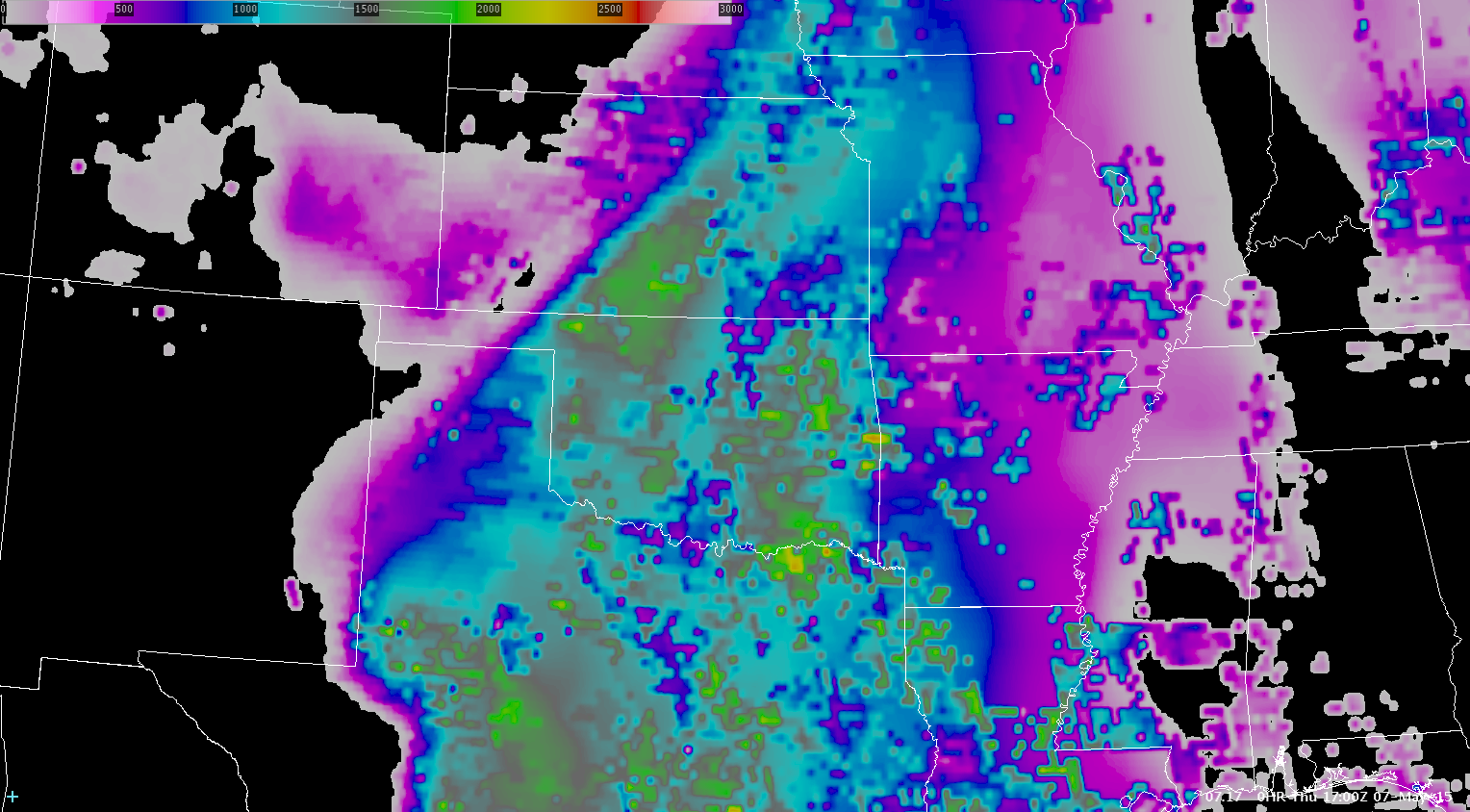
GOES-R CAPE
GOES-R CAPE

CI has tended to be more of a “now”cast as opposed to a forecast.

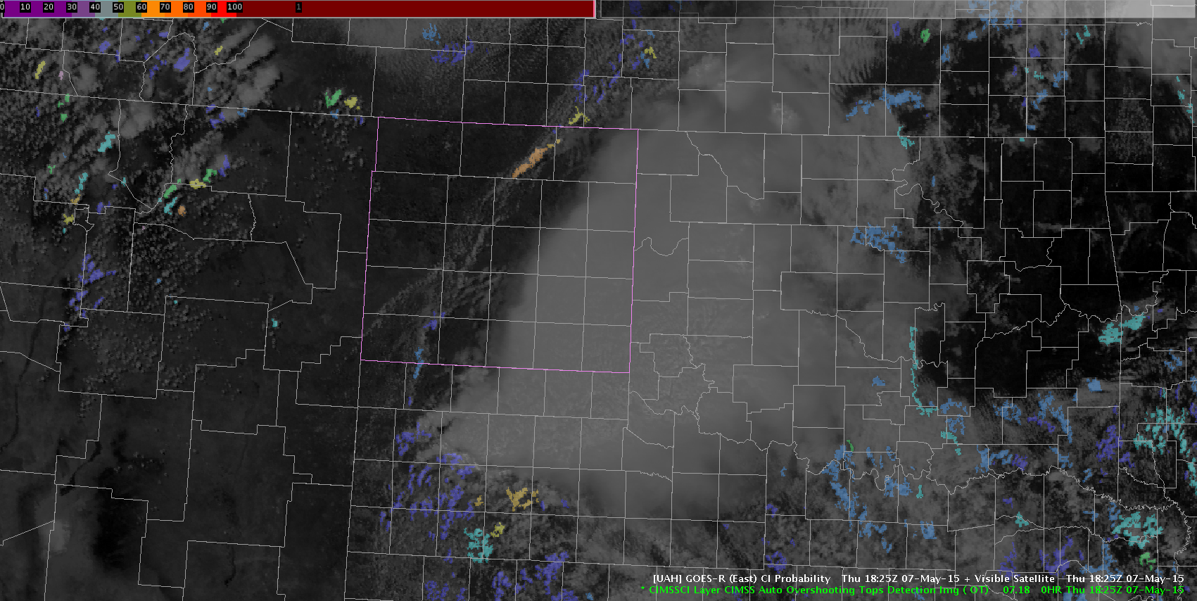
KLBB CI 1815Z
CI at 1815Z
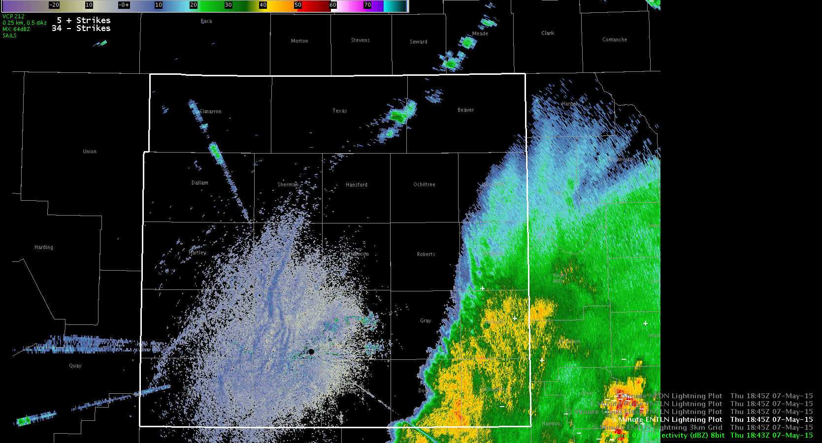
Radar at 1814Z
Radar at 1814Z
Radar at 1824Z
Radar at 1824Z
CI at 1825Z
CI at 1825Z

By the time the CI was high, convection was already ongoing in that area. More frequent satellite data would definitely help in these rapid development situations!

Tags: None

Initial Analysis localized as OUN

Water vapor imagery early this afternoon is showing a deep closed upper low over CA with broad southwesterly flow across the southern plains with a weak disturbance moving through the flow which seems to be enhancing/sustaining convection moving through the western portion of the forecast area. Visible imagery shows well the ongoing convection as well as a boundary situated across KS southwestward into the OK/TX panhandle.

4pnl_Satellite_1745zA quick look at the GOES-R CAPE showed values generally in the 1000-1500 J/kg except along the Red River where lower values were shown below 1000 J/kg.  There definitely appears to be some influence of cirrus and mid level clouds associated with the ongoing convection affecting the output.

GOESR_CAPE_1700Comparing the GOES-R CAPE to the SPC mesoanalysis mixed layer CAPE it appears the values are too low, especially in the Red River area where values close to 2000 J/kg were noted.

SPC_MESO_CAPEThe continued moist southeasterly flow into the region today south of the ongoing convection should interact with outflow boundary from ongoing convection and initiate new convection across the southern portion of the forecast area.

Jack Bauer

Tags: None

Rapid Increase in ProbSevere

While we were writing up a previous blog post, we noticed rapid increase in the ProbSevere for a storm to the west of the OUN radar. The ProbSevere quickly ramped up from 9% to 94% as seen in the two images below.

20150507_1827Z_Radar_PS20150507_1832Z_Radar_PSSeeing that rapid increase was noticeable to both of us as were were typing up other blog posts and prompted us the interrogate the radar data. While the core looked small initially, the idea shown by the ProbSevere was right on.

Finally, with the location of the cell being right under the clouds from upstream convection (see image below), it led to N/A values on the satellite data.

20150507_1830Z_Sat_Radar-SRF

Tags: None

Initial thoughts on LUB potential

We are tasked with assessing the pGLM and GOES-R/UAH CI products. A very moist and unstable atmosphere is present over much of the LUB CWA with an ongoing MCS exiting the northeastern portions of the CWA. GOES-R/CIMSS layer CAPE values range 400-500 J/KG for the northwestern portions to 1200-1400 J/kg for southeastern portions. PWATs also possessed a sharp moisture gradient from NW to SE, with values near 0.60″ NW to 1.40″ SE, along with dewpoints in the mid 60s building across southern half of the CWA ahead of the eastward moving MCS.

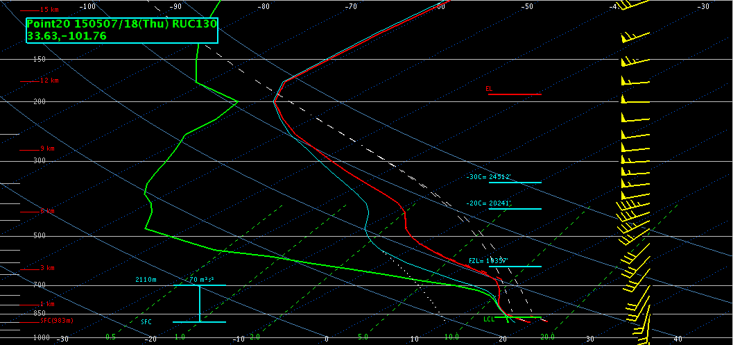
1830Z_GOESCIMMS_CAPE_PWATs18ZRAP13soundingLUBRAP13 forecast sounding centered just south of Lubbock around 18Z indicated MLCAPE around 1600 J/KG, fairly close to the GOES layer CAPE values. Freezing level and -20 C heights are around 20k ft with modest moisture in hail region, though very moist low levels will help overcome some drying aloft. Expect large hail and damaging wind gusts to be an issue with any discrete cells, as well as isolated tornadoes possible due to modest low level shear/helicity. Will monitor CI for possible development south of LUB/ongoing MCS in hopes of catching pGLM/lightning jump with storms as they develop.

Brick Tamland

Tags: None

Amarillo Synoptic/Mesoscale Discussion

Around 1800 UTC, a MCS is going across the southeastern portion of our CWA.  We expect this region to remain stable in the wake of this system as it progresses eastward along the Red River Valley.  Central and western parts of the CWA have seen ample sunshine.  A dry punch is visible moving in from the southwest, and dewpoints have dropped into the 40s through eastern New Mexico, with low to mid 50s through much of the Texas panhandle.  We expect some additional moisture return, especially through southern parts of the CWA…along with a tightening of the dryline feature.  There is some question to the amount of instability, although GOES LAP algorithm indicates 800-900 J/kg through central and southern parts of the CWA…although with heavy clouds in the region, it’s difficult to gage the accuracy of the values.  A 500 mb low is centered over central California, with southwest flow over west Texas.  Any subtle wave or ripple in this flow may be enough to trigger high based convection along the dryline feature.  The 12 UTC AMA RAOB indicates mainly unidirectional flow through the column.GOESR_CAPE_1700

Tags: None

KFDR Radar Down

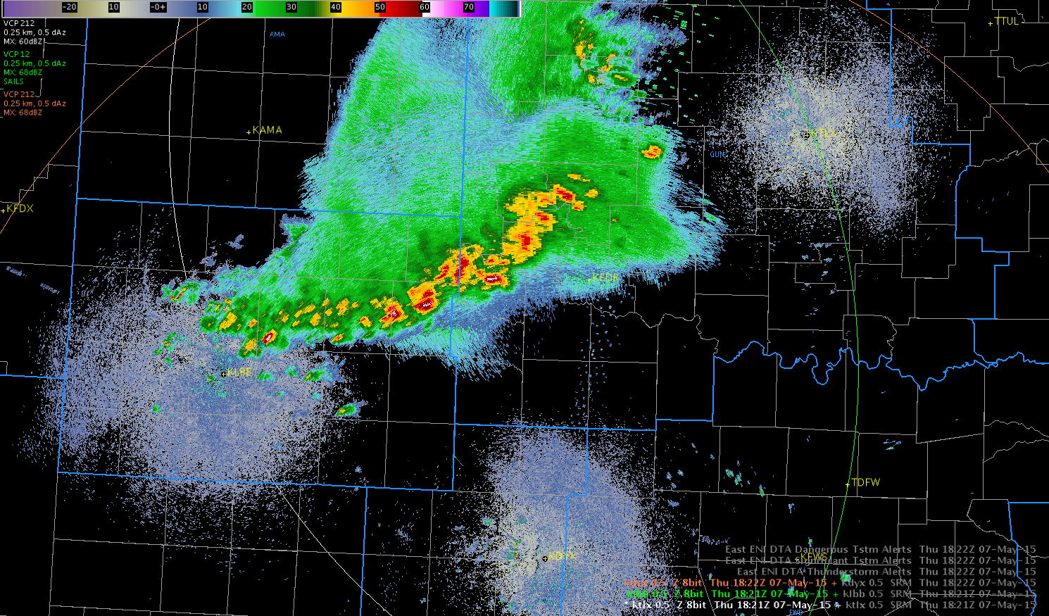
As we were spinning up with the OUN CWA, we received word that the KFDR radar has went down and technicians are on their way to fix it. Looking at the latest radar (1821Z), the strongest storms were near that area and it will complicate the warning process.

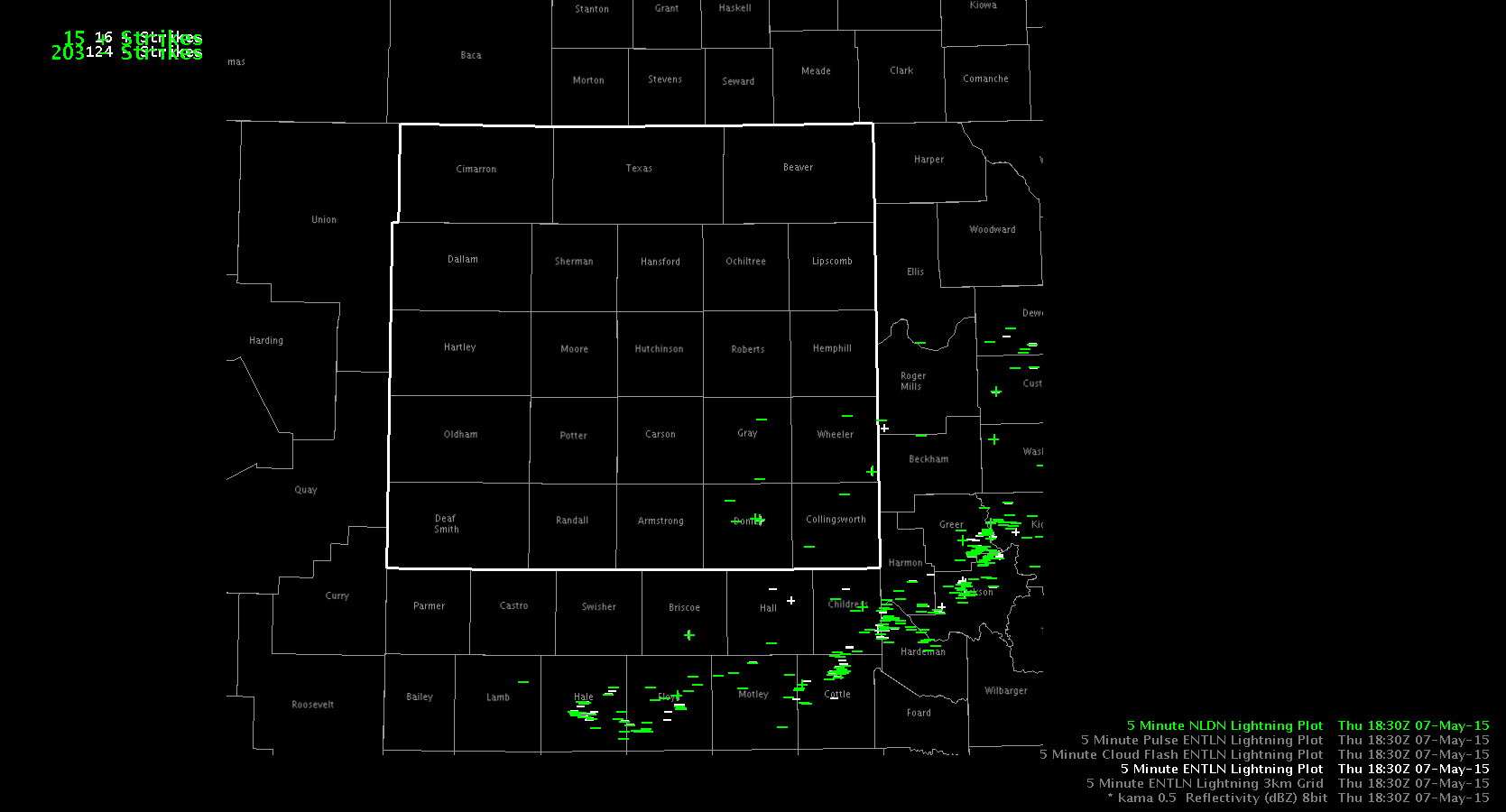
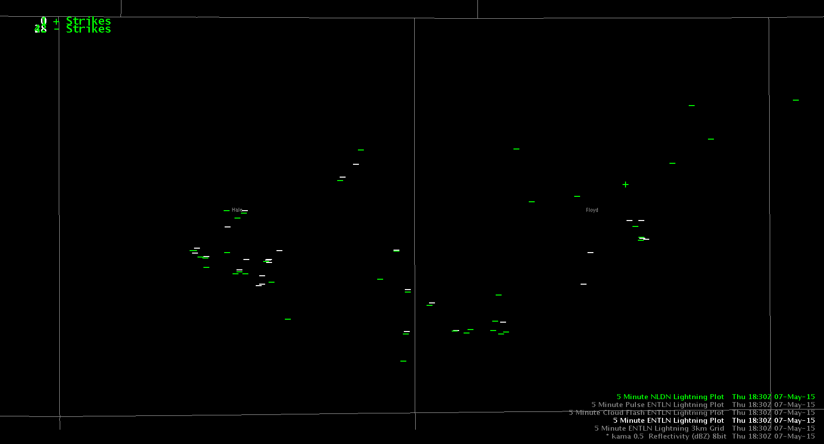
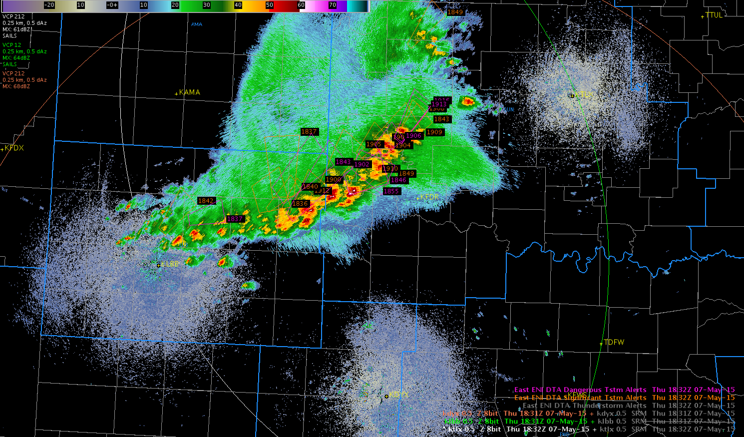
20150507_1821Z_RadarWith the surrounding radars seeing the current storms around 15kft, this will be a good opportunity to try out the ENI Lightning Data, both the Thunderstorm Alerts and the Cell Tracking with Time Series. Here is the latest Significant/Dangerous Lightning Alerts for that area at 1832Z.

20150507_1832Z_Radar_TstormAlertsThere are a numerous boxes with the default settings and one of the other groups was going to set a higher threshold, which we will try out shortly.

Finally, taking a look at the cell tracking data, we area able to pick out a couple stronger cells, with one location outputting over 100 flashes on the strongest cell.

20150507_1832Z_Radar_LightningCell-SRF

Tags: None

Daily Summary: Week 1, Day 3

Convective activity began today earlier than was expected across the southern Great Plains. We placed groups in CWA’s where the greatest severe threat was expected for the day: Norman, Wichita, and Hastings. As convection was already ongoing when we began operations, attention was focused on warning activities from the start, with the Earth Networks lightning products, Lightning Jump, and ProbSevere Model having a lot of utility.

Tomorrow, we will start activities at 12:00 pm in the Dev Lab for the daily debrief before moving to the HWT for the EFP briefing. Activities will likely shift back to West Texas.

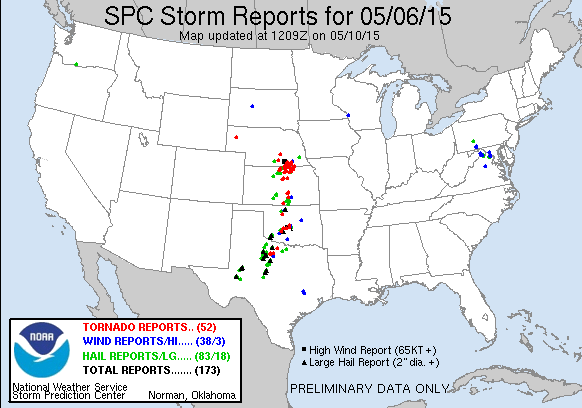
150506_rpts

– Bill Line, SPC/HWT Satellite Liaison and Week 1 EWP Coordinator

Tags: None

Takeaways from ICT Today

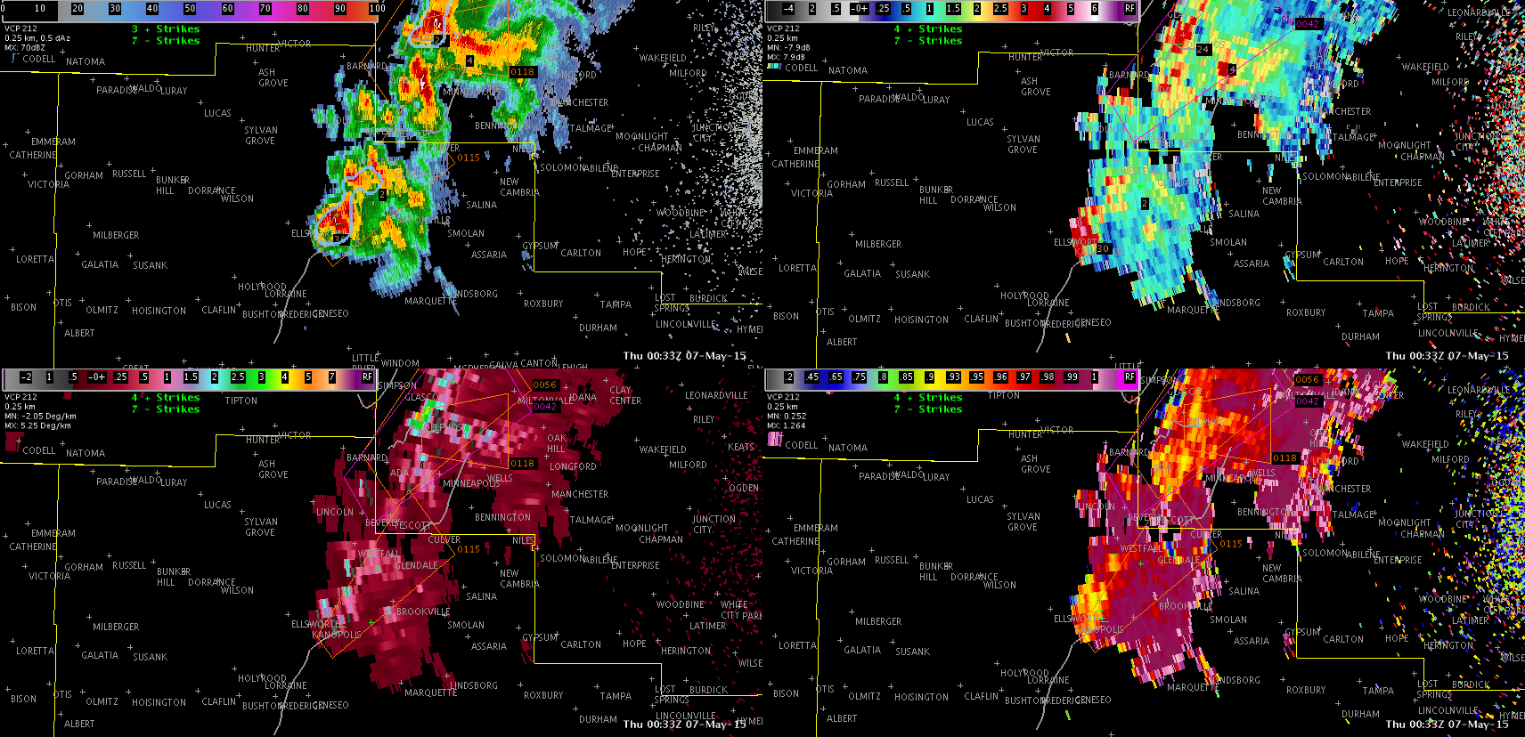
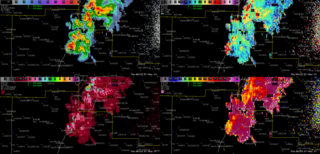
After a busy day at ICT, we have come to the conclusion that radar base data is still our #1 when it comes to warning operations, while the other tools are “confidence boosters”. With many (if not all) of the warnings we issued today, there was little doubt that the storms were likely to produce severe weather. The radar base data told us what we needed to know to go ahead and issue the warnings, with things like lightning jumps and prob severe being more of a reassurance. In a lot of cases, the prob severe did not substantially increase until we we already in the process of writing up or had already issued a warning. Take this storm in Ellsworth County, KS for example.
KICT_ellsworth_pre

When we decided to issue a SVR for this storm, the prob severe was only 13%. Meanwhile, the base data was pointing towards severe hail.

As the warning was being typed up, the next volume scan came in and the prob severe jumped to 85%. Trends in lightning were also more of an afterthought/confidence booster with regards to subsequent storm intensification.
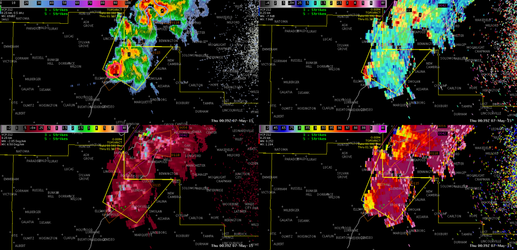
KICT_ellsworth_post

In cases like today, the supplemental tools did not necessarily add any lead time. We do think tools like prob severe and changes in flash rates would be a bigger help with the warning decision making process in marginal severe environments or pulse storms.

Jack Bauer/V. Darkbloom

Tags: None