OUNWRF over NE Colorado

OUNWRF evolves long-lived supercells over Morgan, Washington and Lincoln counties with a rapid eastward progression. This may place highest supercell risk a bit more to the north compared to theta-e difference forecast (mentioned in the blog entry below). Despite LCLs aoa 2.5 km and increasing DCAPE towards C/E Colorado, the WRF keeps max hourly wind speeds on the lower end side. Feeling is that initiation of WRF activity may be too optimistic/early with slow BL moisture recovery still underway.
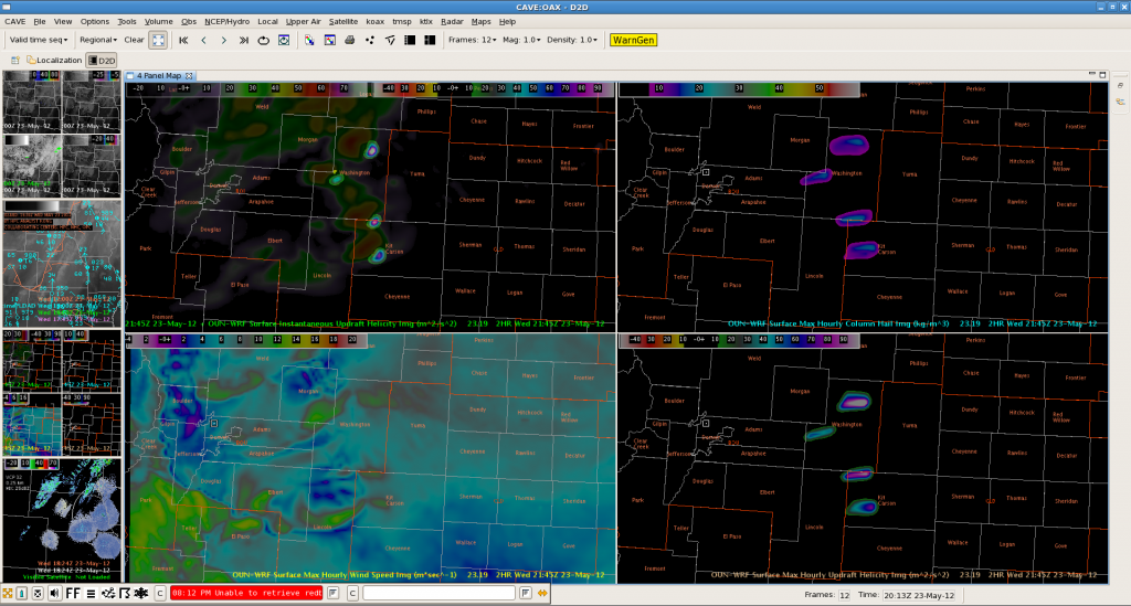
OUN-WRF updraft helicity (upper left), surface hourly column hail (upper right), surface max hourly wind speed (lower left) and surface max hourly updraft helicity (lower right)

Helge

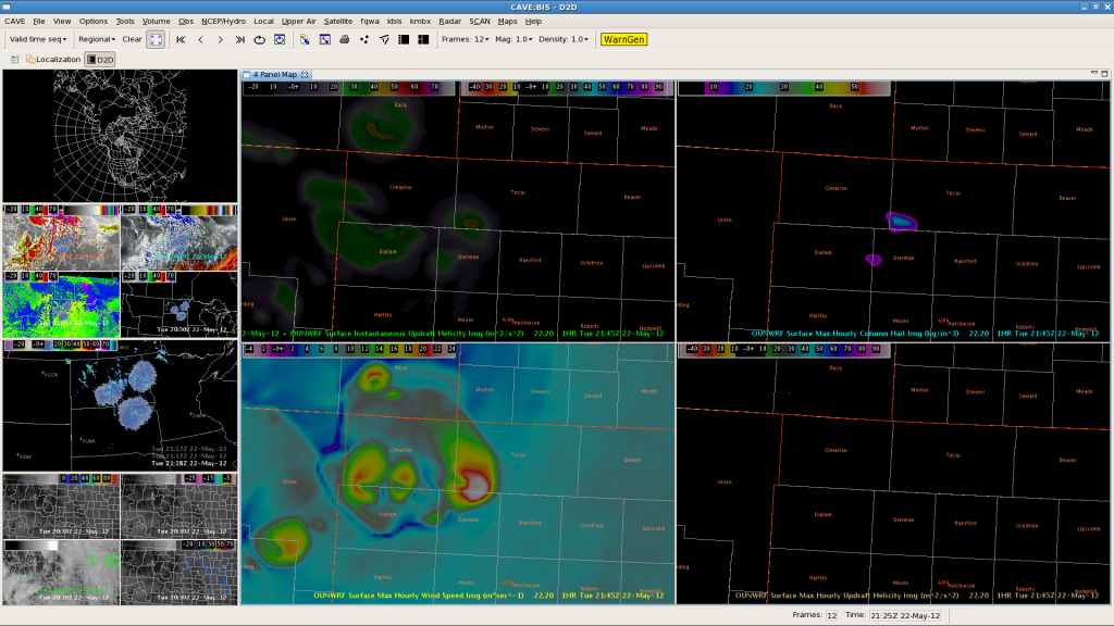
OUNWRF capturing TSTMs over TX/OK Panhandle

Thunderstorms finally evolved all along the outflow boundary over far NW-TX Panhandle/OK Panhandle into far SW-KS. OUNWRF reflected those storms pretty well regarding timing of initiation (although slightly displaced to the SE regarding location of initiation). It also highlighted the chance for an isolated better organized thunderstorm event with strong to severe wind gusts and marginal/isolated large hail. A few storms temporarily reached 55 dBz. No report yet received.

Helge