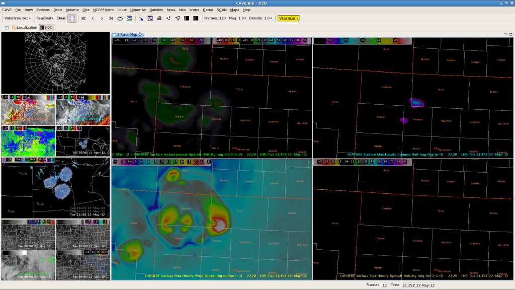
Thunderstorms finally evolved all along the outflow boundary over far NW-TX Panhandle/OK Panhandle into far SW-KS. OUNWRF reflected those storms pretty well regarding timing of initiation (although slightly displaced to the SE regarding location of initiation). It also highlighted the chance for an isolated better organized thunderstorm event with strong to severe wind gusts and marginal/isolated large hail. A few storms temporarily reached 55 dBz. No report yet received.
Helge

