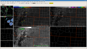
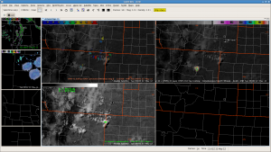
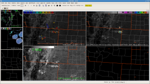
1745z image indicates developing cumulus over extreme northeast NM. In the 1830z image, UAH-CI product indicates a cluster of cumulus with a high confidence of convectively initiating. UW-CTC product also indicates rapid cloud-top cooling with the eastern-most convective element. Given the deeply mixed airmass with minimal cap, this would lend confidence to convective initiation soon. Sure enough, by 1915z the 15-minute lightning plot indicates some CG strikes with the eastern-most convective element, with a lead time to convective initiation of over one hour.

- 1830 UTC


