1. Introduction
I was granted permission to attend the Hazardous Weather Testbed Warning Forecast Experiment at the National Weather Center in Norman, Oklahoma for the week of May 20 – 24, 2013. In particular, my focus was to be on high resolution analysis and model forecasting products as well as their applications for forecasting and warning for deep moist convection. Increasing my knowledge of storm analysis and forecasting helps with the detailed verification of various FSMT forecast products and brings cutting edge research back to our squadron. In return, I provide feedback and discussion about the success of products to the National Severe Storms Laboratory (NSSL).
The week, as one can imagine given the dates and location, did not go as planned. Strong tornadoes, including a strong EF-4 tornado near Shawnee, had affected central Oklahoma on the day before the testbed; this storm had created a need for storm surveyors from the testbed. On Monday, shortly after the first shift began on Monday, a devastating EF-5 tornado developed just to the northwest of Norman, affecting the city of Moore particularly hard. The event took a significant physical toll on many of the people working for the testbed, as I believe every NSSL employee with the testbed took part in surveys during the week, and the event took an emotional toll on everybody in the project as well. I know people worked very, very long, hard days this week, and that work is greatly appreciated and admired.
We did the best we could with the resources available to us for the week.
2. Pre-Course Material
I read all material provided describing experimental products to be tested prior to attending the testbed. I appreciate all of the material being prepared, and I think, given the reality that I don’t have an AWIPS machine to work with exercises on, I got caught up to speed very quickly even in the chaotic conditions of the week.
It had also helped that I had attended the testbed last year, and I had a general idea of what to expect from the project layout and what type of products to expect.
3. Schedule
3.1 Monday, May 20
Monday’s shift began at 1 PM. I arrived at the Weather Center at noon to have lunch with colleagues participating in the other half of the experiment.
At 1 PM, we met as a group in the development lab. We briefly did introductions and we quickly ran through goals and product sets hoped to be evaluated during the week. We knew convection was going to fire rather early in the day in Oklahoma, perhaps by 2 PM. Mr. Gabe Garfield gave a quick discussion about the expected weather conditions. A stout atmospheric cap was quickly eroding with rapid daytime heating, and the atmospheric conditions were very favorable for severe weather with thunderstorms likely to begin developing at any moment.
The plans for the day quickly became very ragged. Storms fired quickly just west of Interstate 35 in central Oklahoma before we were even really settled into the lab. I worked Mr. Jeremy Wesely for the first portion of the afternoon. We looked quickly at the OUN WRF products, which suggested immediate initiation. The reflectivity developed a very large cell in central Oklahoma that on the OUN-WRF appeared to be a left moving storm, which clued me to the threat of hail.
Three storms very quickly fired, so we only spent a few moments in forecast mode. Among the analysis products we were able to see early on included a strong reflectivity core at the -20 C level. Though we weren’t issuing warnings for this early portion of the testbed, we certainly would have started with the storms forming west of the OKC metro area. A storm southwest of Norman quickly grew dominant – along the suggestion of the OUN WRF – and began moving to the metro area. We noticed the updates had stopped, as power glitches began to affect data flow at this point.
The northern supercell quickly developed a large wall cloud. A tornado warning including Norman was issued by the OUN weather office shortly afterwards. Seeing the storm moving to our northwest, we decided to continue to work instead of seeking shelter By 2:40 PM was producing a tornado to the northwest of Norman. Screens in the room were tuned to live coverage of this tornado and everybody – both on our side of the room and the SPC experiment side of the room – quickly grew gravely concerned with the unfolding tragedy to the north. Several people began calling loved ones and taking care of personal business. Warnings for this particular storm – and now the storms to the south – were clearly and obviously tornado warnings. After a few moments of shell shock (I can’t think of another word), we continued to work. I was particularly impressed with the calm, resolved demeanor in the room even in the face of the enormous tragedy and personal stress. Power glitches in the area due to the thunderstorm continued to affect the data flow, and it was only around 3:30 PM that data began coming into our systems. The data, an hour behind or so, allowed for a delayed real time analysis of the Moore tornadic supercell. By this time, the devastation to our north was quite apparent.
The first product that jumped off of the screen at us was the tornado debris signature. As one might expect, a violent tornado hitting a major metropolitan area creates a lot of debris, and the radar algorithm quickly picked that signature up, carrying it through the city. We certainly did not expect to see this signature in other storms, but it was interesting to see the levels reached by the Moore tornado.
We also took a look at low- and mid-level rotation tracks. Mid level rotation increased dramatically near the city of Bridge Creek. If one wasn’t paying attention to the supercell and tornadic potential of this storm before, they were certainly needing to do so after the rotation passed Bridge Creek.
We also began paying more attention to the southern storms around this storm, which also were producing severe weather. A “cloud top cooling (hereafter CTC)” rate of -28 C was noted in Wichita County, TX, at 1902 Z. The radar data would later show a 2.5 to 3 inch hail icon with that storm, and the storm would be responsible for golf ball sized hail by 1920Z. In an environment where storms were developing rapidly and producing severe weather unusually quickly, the CTC product allowed for 18 minutes of lead for the first hail report. Baseball sized hail would later be reported with this storm. We also noted a tornadic debris signature in Jefferson County, OK, as the storm moved to the east. While I don’t know if any tornado was ever officially reported with this storm, it sure seemed likely that this storm was producing a tornado, and the tornado debris product would have helped confirm confidence in a tornado warning.
Around 5 PM, I was able to take over my own forecast station with the departure of one of the local testbed participants, working next to Jeremy. We were switched to the Fort Worth coverage area to follow the supercell traveling along the Red River, moving out of the Norman counties. The other group continued to work severe storms north and east of Oklahoma City.
Analysis of the storm showed a hard right turn with the supercell looking at the mid level rotation tracks. The volatile environment suggested all modes of severe weather from supercell thunderstorms, and this rotation track product indeed confirmed that this storm was still a rigorous supercell.
I took a break around 6 PM just to breathe. The tornado must have hit national news around this time because my phone went off several times. I didn’t spend much time with the phone; we were requested to leave cell phones for emergency calls in the area because the entire infrastructure had in central Oklahoma had been compromised with several towers damaged or destroyed, but I called my mom at home, as I felt it was very important that she knew that both myself and my brother in law were safe. This time was also around the time when the initial CNN fatality count was reported, which hit the entire office pretty hard. Again, I was really impressed with the how the office kept working even in the presence of such difficult news. We took no breaks for dinner; Greg graciously ordered pizza to the office.
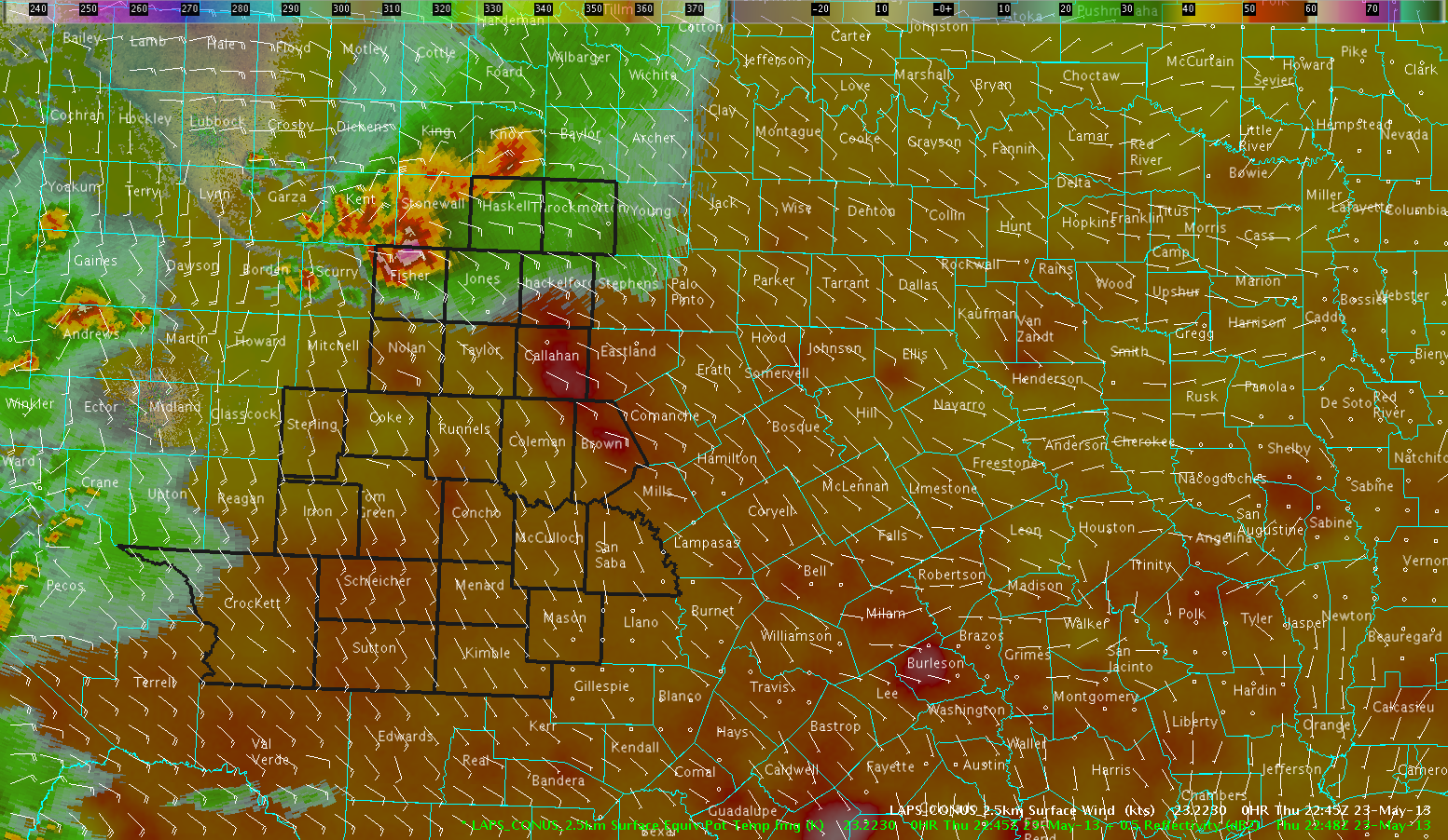
I began to look again at the OUN WRF to see if any other activity was to be expected. The OUN WRF lit up down to I-20 with storms as the night progressed. While the coverage was a bit much, another strong thunderstorm producing several tornadoes and strong hail was located very close to I-20. The geographical extent of convection in the OUN WRF did well for this particular event. (This storm was located just to the south of our radar product area, so we did not focus on this storm initially.) I did issue one severe thunderstorm warning for a small updraft west of the DFW metro area, though that storm came down quickly with no reports. I issued the warning based on cloud ice values noted as similar to other rigorous updrafts. I would cancel the warning after a few scans when it became clear the updraft had collapsed. I would issue a couple of warnings on the southern supercell, even without experimental data, just to make sure I knew how to use the software properly and to finish the day off on a somewhat normal note.
After a long and difficult day, we dismissed after completing a short survey a little after 8:30 PM.
3.2 Tuesday, May 21
Tuesday’s shift began after lunch, at 2 PM, with a strongly worded moderate risk in northeastern Texas. I arrived at noon to have lunch with colleagues and to catch the briefing from the other testbed, the Experimental Forecast Program group. Their overview focused on a wind threat in northeastern Texas. Mr. Andrew Zimmerman and I were paired as forecasters for the Shreveport office; we decided to sectorize our forecasts based on Interstate 20. I would forecast and warn for south of the Interstate; he would cover all products for north of the interstate. Because we were the eastern CWA, we were able to take a look at some forecast products. The other group was the Fort Worth CWA; they had convection fire very quickly and immediately went into analysis and warning mode.
The convective pattern went in three main rounds per the OUN-WRF:
1) East-west oriented convective line pushing north along the Louisiana/Arkansas border. Elevated in nature due to relation with lifting boundary, we expect these storms to primarily be a hail threat. Updraft helicity product indicates some potential for these storms to be supercellular, giving the threat for destructive hail.
2) Pre-frontal squall line pushes in from eastern Texas from west to east. Based on the OUN-WRF, a strong signal for rotation within updrafts in the line is noted. Strong winds and potential tornadoes are noted as the threats with this squall line, and we expect this line to be our biggest severe weather maker. We also note a more isolated storm well to the southwest of our CWA, down by San Antonio with good supercell signatures in the helicity product. That storm would have the best potential in the model to produce all forms of severe weather, but it is well out of our CWA. We also noted some negative helicities within this line, suggesting that this line wouldn’t be a pure squall line, but that the line would have some embedded supercells as well, with an environment favoring splitting. This would introduce a hail threat in this squall line while diminishing the tornado and straight line wind threats a little bit.
3) Cold frontal squall line pushes in from eastern Texas from west to east a couple of hours after the first squall line. This line is expected to primarily be a straight line wind producing storm.
I then began to review the thunderstorms pushing north in the southern portion of Arkansas. We consider a tornado warning for a supercell in Miller County based on base reflectivity apperance, but we decided against this warning. While the OUN-WRF had suggested supercells, we immediately note a strong outflow boundary pushing south of these storms. We consulted with some of the MRMS products to help with this decision. Some low level shear was noted on the shear track history, but nothing real was noted on the mid level track. Any tornado threat we might have considered early is likely gone. We’ll keep watching, but the environment just doesn’t seem favorable for surface based storms. No severe weather was reported with the storm we chose to leave unwarned. One storm developed a large hail signature, but this storm was north and east of our county warning area.
We quickly coordinated with the Experimental Forecast Program; their final graphics had a very strong risk for winds in northeastern Texas, as they indicated in their briefing.
With the elevated storms moving harmlessly away from our CWA, we turned our attention to the weather in the Fort Worth CWA to see what would be coming our way. We noted a couple of very strong “Cloud Top Cooling” product values – one of -27 C and one of -41 C, each for 15 minute periods. Each of these storms was well back into the Fort Worth CWA, so we would not be handling warning responsibilities for either, but we were clued into the fact that some pretty explosive storms might be developing out to our west.
The first squall line first approached our CWA in far southeastern Oklahoma. The storm was on the far edge of our CWA on the far edge of radar coverage. Very small values were noted on the “MESH” algorithm, and vertically integrated ice values were smaller than storms in Texas yesterday evening. We also noted a little bit of potential for large hail in the “HSDA” produt – the dual-pol radar product designed to detect large hail – but we chose not to warn for these storms. Either by good analysis or by the luck of these storms being in extremely rural, river valley regions, we received no reports from these storms.
We also noted that outflow from the initial Arkansas storms was pushing definitively to the south. In contrast to what mesoscale models were suggesting, this feature would cause any storm to its north to become elevated, decreasing the threat for all modes of weather.
Storms later approached in my sector from the west. I issued a handful of warnings and I actually found that the MESH product was doing a good job of finding wind damage reports in addition to the hail reports. We also got damage reports from an advancing outflow boundary, but we didn’t consider those reports to be of particular interest to the testbed detail. As the threat shifted to wind with the approaching squall line from the west, we began to get nasty wind signatures aloft. I began issuing broader severe thunderstorm warnings for wind for the entire line. The atmosphere, somewhat stabilized from the outflow, still seemed capable of producing damaging winds. In that regard, the storm structure indicated by the OUN-WRF succeeded; in another, no threat for embedded supercells existed because of the outflow, a weakness that even a short range model could not account for.
At 7:10 PM, with the severe threat turning solely into a marginal wind threat, we decided to switch regions of the country, up to New York, where storms were a bit more isolated and had the potential to produce hail. Andrew and I were placed in the Binghamton CWA. We again sectorized our coverage area; this time along the north/south boundary of I-81. I took responsibility for storms east of the highway. By 7:30 PM, I was confident enough in hail signatures northeast of the radar to issue my first warning. I would warn on the radar “Hail Size Discriminator” in addition to the MRMS products. Giant hail was suggested at 7:55 PM. I continued the warnings for the next 90 minutes as the storm evolved and moved east ward. I didn’t receive a single report from any of the storms I warned for, though I do not regret the warnings. I immediately checked the Binghamton office warning history after the shift ended; they too had been warning for these storms. I really, really believe that these storms produced severe hail and that the HSDA algorithm did a nice job of analyzing the storm detail. We just didn’t get the reports in the nighttime in rural New York. That’s my story and I’m sticking with it. I was admittedly a little bit exasperated by the end of this event, not having a ground truth to say one way or the other what had happened for the sake of the testbed and whether or not the products had indicated severe weather or not. Such is life.
Again we did not take a dinner break; Gabe graciously delivered from a local restaurant, which was much appreciated.
We took a short break around 9 PM as a CNN reporter and camera came to our office following an interview in the Weather Forecast Office. Mr. Travis Smith was interviewed about our testbed, discussing some of the products we were testing on Monday during the Moore tornado.
As of 9:15 PM, I let all of my severe thunderstorm warnings go, happily giving the storm off to the Albany CWA desk. Shortly afterwards, we finished for the evening, completing surveys and wrapping up for the night.
3.3 Wednesday, May 22
On Wednesday, I participated on the Mesoscale Analysis desk with Mr. Andrew Zimmerman. Our job was to analyze the performance of high resolution products, monitoring the local storm environments and providing updates to the warning desks about the environments that their CWAs would be experiencing. We issued mesoscale discussions at roughly 3 PM, 5 PM, and 7 PM.
We were promptly greeted with the unpleasant news that the GOES-13 satellite had suffered a major failure, and that we would be without all of our satellite based products for the rest of the week unless we could completely rely on the western domain, which would require a forecast day in Montana or the intermountain west. (We would have no such day.) Our forecast interests again took us back to New York.
We were particularly interested in evaluating the LAPS products on this day to see how our mesoscale environment was being represented. Temperatures were quickly warming in central New York in the upper 70s and lower 80s. Storms formed along the theta-E maximum just south of Lake Ontario, where a lake breeze was also pushing slightly southward. An initial squall line was pushing out of the area through the eastern portion of the Albany CWA and into New England; we were more interested in convection potential behind the initial line. The SPC mesoanalysis confirmed a deep stable layer in the convective outflow.
Two storms would develop to the north, one early in the forecast period, one a couple of hours later. Both would be severe, both would track just south of Lake Ontario, and both would be warned for by the respective CWA desks. We kept noting the theta-E maximum to the north, well represented by the LAPS imagery. At the Mesoscale Discussion desk, we focused more on the potential for convection elsewhere, as the environment remained fairly similar along the path of the northern supercells. We also knew that the respective warning desks would likely be more focused on the ongoing storms, benefitting more from having another set of eyes on where new storms might form.
We grew more and more concerned as the day went on about the dry air filtering into the rest of the Buffalo and Binghamton CWAs from the southwest. We kept seeing dry air signals represented in the environment, and kept noting that convection was going to struggle anywhere in western New York outside of that boundary in the northern portions of the respective CWAs. We also noted that simulated satellite imagery cleared out convection to the east and left a dryer, stable environment over much of western New York. Andrew very astutely noted that the dryer air meant that south of the northern supercells, the main severe threat was transitioning quickly to a downburst wind threat instead of a hail threat.
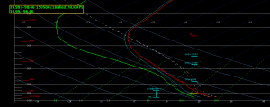
That trend really defined the day. I really thought the LAPS products did a great job of holding fast to the idea that dry air – characterized by 30 degree dew point depressions – was firmly in place, and that any convection trying to go up would struggle mightily. We kept seeing storms try to fire on radar but never sustain themselves. (It was noted that we dearly missed the chance to evaluate satellite-based convective initiation products from UAH. We would have loved any help we could have gotten with the developing cumulus clouds.) Even in the presence of other high resolution models suggesting convective development in western New York, the LAPS products really made it clear that nothing substantial was to be expected. I also thought the LAPS products did a terrific job of representing moisture boundaries well. If I had a recommendation, I would love to see a dew point depression trend chart – how the DPD changes from hour to hour is quite interesting to me and would show areas where dry air is mixing out the boundary moisture.
We kept waiting for the upper level forcing to arrive to give elevated convection a chance to develop, but that forcing arrived after our shift ended. The most significant activity in terms of development was terrain-induced convection in Pennsylvania moving towards the southern counties of the Binghamton area. We did note a little area of higher moisture in the far southern counties, but these storms barely approached the CWA as the shift was ending. I do believe a couple of warnings were issued, though I don’t know if we stayed long enough for verification. We ended around 8 PM after completing surveys.
3.4 Thursday, May 23
On Thursday, I again participated on the Mesoscale Anlaysis desk, this time with Ms. Ashlie Sears. Our shift began after lunch. I again had a chance to catch the briefing from the Experimental Forecast Program, which talked about the Texas panhandle and a very uncertain convective evolution in the presence of very light wind shear aloft. A mesoscale complex was expected to develop, but which direction the convection would ultimately move, we did not yet know. Different models, including the AFWA ensemble members, were showing different solutions.
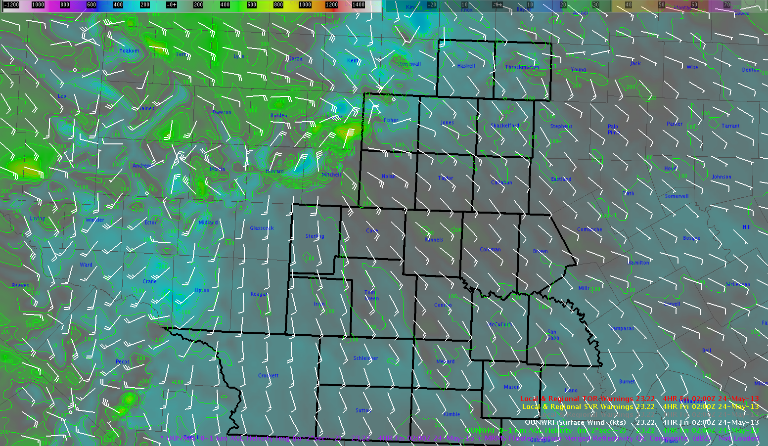
Forecast interests for our group were back in the plains, this time in the Texas panhandle. Again, GOES-13 remained out of operations, meaning satellite data was limited, but we were far enough west that we were able to use some of the products in a limited capacity. For the fourth time this week, convection had already fired by the time we got to the lab and set up, which made model analysis and pre-convective environment identification somewhat difficult. We did quickly run through OUN WRF data to see what we could gain from the model runs. We noted scattered storms along the Colorado/New Mexico front range to be forecast, though nothing terribly robust. To the east, convection was noted by 19Z, which was accurate, with stronger helicity signals near I-40 suggesting a supercell threat with all modes of severe weather possible. The OUN WRF projected this complex to move eastward into Oklahoma maintaining a severe threat almost to the OKC metro area.
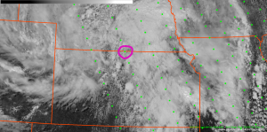
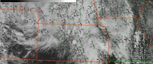
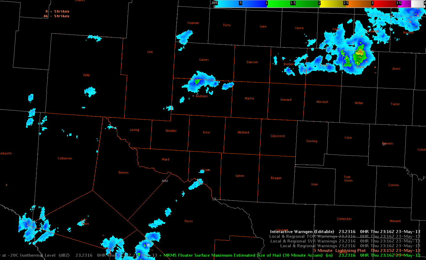
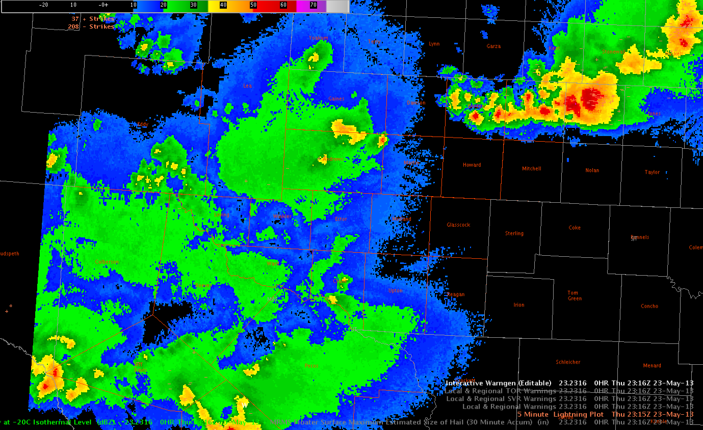
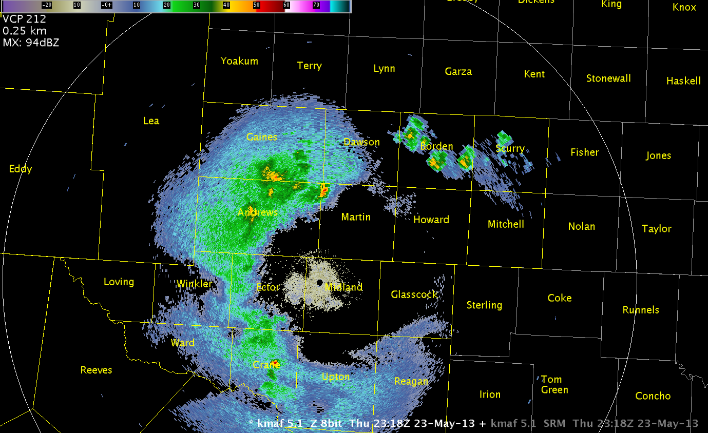
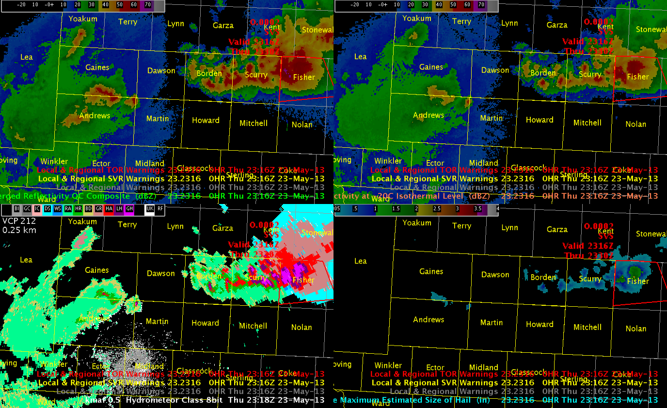
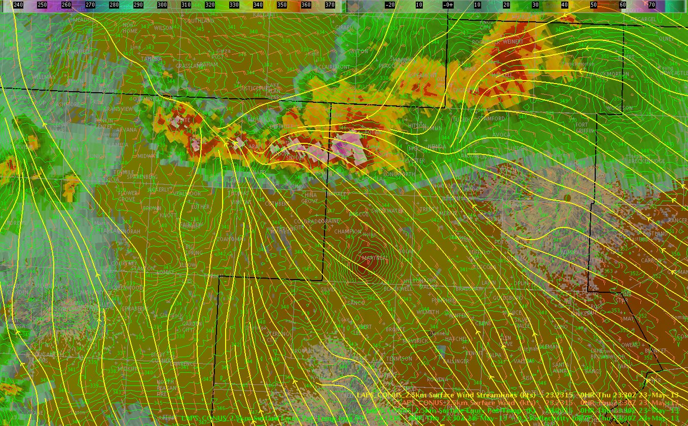
Our first storm of interest quickly came out of the Lubbock area, where a cloud top cooling value of -17 C/15 minutes was noted. With the GOES-13 still out, we were using satellite products that were completely reliant on the western imagery, which made values a bit different than usual given that we were on the edge of the domain where we could use the imagery at all. Our LAPS mesoscale analysis noted a rich theta-E maximum through the I-27 corridor along the boundary, and convective initiation occurred very close to this maximum (within a county). LAPS updraft helicity was more bullish in western Texas than what we saw on the OUN-WRF – I thought maybe this product’s forecast was too aggressive. Basically this product was expecting, it appeared, mesocyclones along the entire dry line during initial convective development. Both the OUN-WRF and the LAPS products gave us the idea that storms that went up initially would threaten with all forms of severe weather, and the Lubbock area storm quickly gave each of the threats, including extremely damaging winds in excess of 100 MPH.
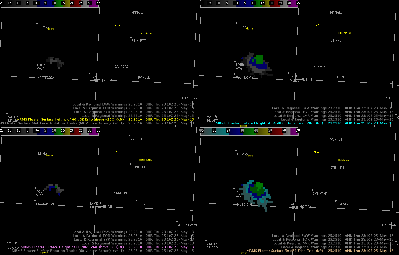
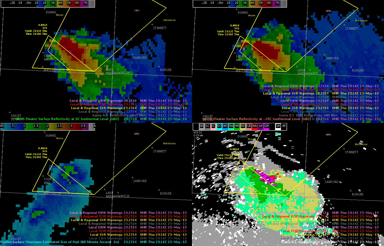
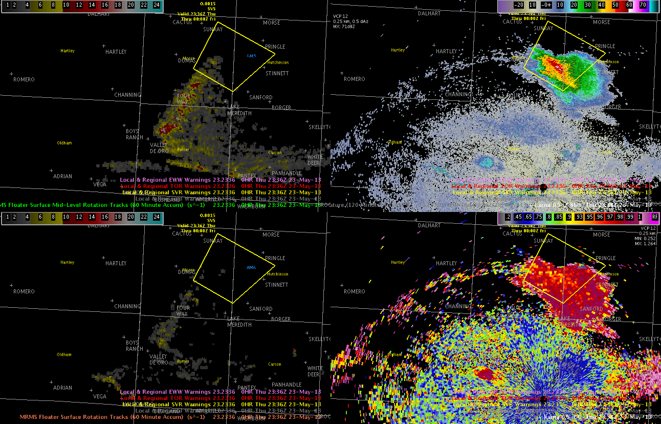
The first storm in the AMA area developed a massive circular outflow that extended all directions, including back to the northwest along the dry line. We noted that it took the LAPS an hour or so to catch on to the colder, more stable air infiltrating the AMA area. What was seemingly a prime area for convective development has now become much more stable due to mesoscale influence. After a couple of weak convective attempts on the outflow boundary, a storm showed a -18 C/15 minutes cloud top cooling value in Potter County. This storm did become severe for a couple of scans. Chad Gravelle had asked us to watch the CTC product near radars – this storm was very near the AMA radar, and the algorithm performed quite well. This storm, with large scale winds working directly in opposition to the motion of the low level forcing, had a motion of nearly 0, contrary to the projection of a progressive complex that several models had advertised. This storm lasted for a couple of warnings before dissipating. Away from the forcing of the outflow boundary, the storm could not exist in the ouflow cooled air.
We again wrote a mesoscale discussion around 5:30 PM, which became very complicated, because storms in each of the three CWAs of interest were behaving differently. Basically, we broke the MD down into the three sections to reflect the local influences at each region. After this MD, outflow continued to ruin the AMA environment, the lone supercell continued to do its thing in the San Angelo area as it slowly weakened, and terrain convection in the Midland area struggled to organize away from the source of its origin in the hills. Ms. Sears and I kept an eye on the various environments, but little changed over the last couple of hours. Again, outflow really wrecked the “expected” severe weather environment, especially north of the highway 82 corridor. I love the OUN-WRF, but a forecaster really has to get rid of any pre-conceived notions of what the day “should” look like in the face of rapidly changing conditions that models are still hopelessly outmatched against.
We ended the day a bit early to save images and collect our thoughts for the webinar on Friday. We were each assigned an individual topic to discuss for 2-3 minutes during the webinar. I was assigned to talk about using MRMS products in the Shreveport area on Tuesday evening. After collecting images, we completed the last surveys for the week, and then we dismissed for the evening.
3.5 Friday, May 24
Friday began at 9 AM with a detailed discussion and review of the week’s events. We each gave considerations about some of our favorite products and how we used those products in simulated forecasting and analysis environments. Thoughts and considerations of products were discussed with points of contact for each product. We then went through a practice run of our webinar before the ‘real deal’ went live at noon. After our presentation, the group took questions from the live listening audience from around the country. We dismissed shortly after 1 PM. I spent the afternoon and evening with colleagues, enjoying the quiet weather at a grill out.
4. Final Comments/Random Thoughts
Given what happened on Monday, simply getting through the week – much less as productively and seamlessly as the testbed went – seemed like a minor miracle.
I thought ordering dinner in the office was a great way to keep working while getting a bite to eat.
5. Thanks and Acknowledgements
I would like to thank UCAR and NG for allowing me permission to attend this testbed.
I would like to my deepest thanks to all of the workers at the testbed, including Mr. Greg Stumpf, Mr. Gabe Garfield, Mr. Darrell Kingfield, Mr. Jim Ladue, and Ms. Kristin Calhoun, for continuing the great work of the testbed in the midst of such extraordinary tragedy and chaos. I know that each of these individuals worked extremely hard in the face of storm surveys to keep the testbed running as smoothly as possible. There are not words for how well each of these individuals did their jobs this week. I also want to thank all of the testbed members for professional, considerate behavior during the week. We all hurt from the tragedy in Moore, but we all were able to continue to work all week long.
James McCormick
UCAR Associate Scientist I
Aviation Hazards Team
16th Weather Squadron, Air Force Weather Agency.
Offutt AFB, Nebraska


