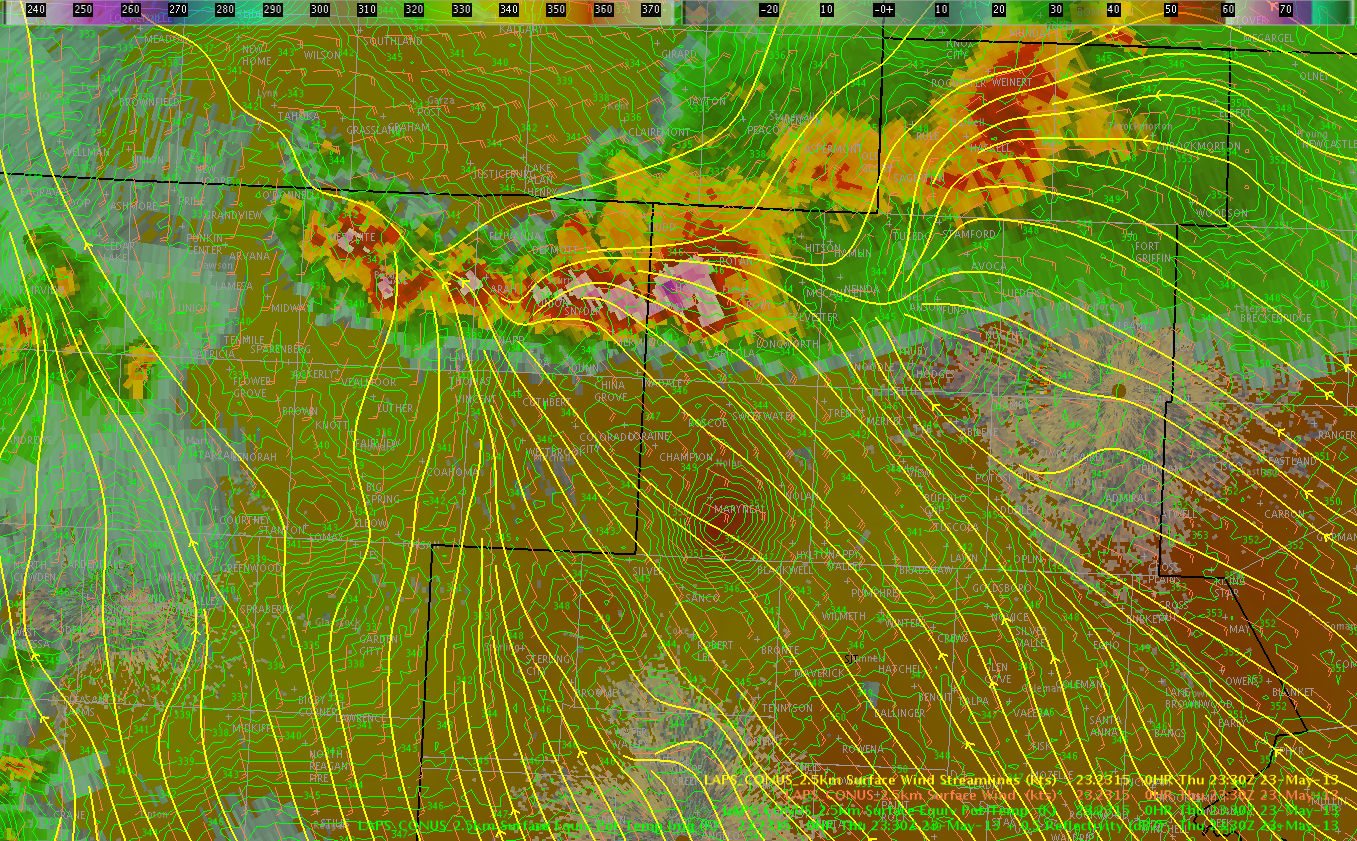
An earlier cell merger helped enhance low-level rotation and produced a reported tornado near Rotan in Fisher County TX in SJTs area. The mid-level meso would eventually track SW toward Scurry and Mitchell Counties in the MAF forecast area. The LAPS streamline analysis at 2330 UTC indicated convergence over the northeast portion of the MAF CWA, which appeared to be concentrating higher theta-e values in the location likely allowing the stronger convection to translate west of south.