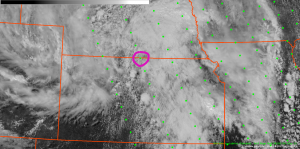
North Central Kansas was one of the prime areas for severe thunderstorm development this afternoon, but with the the nearest RAOB soundings being Topeka and Dodge City, it was difficult to assess the evolution of the thermodynamic environment. Neither of those sites launched an 18Z balloon today, so the area was lacking any observed thermodynamic profiles. The NUCAPS retrieval at 1828Z occurred when the storms were beginning to develop, and a retrieval point was available on the Kansas-Nebraska border (circled below).
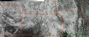
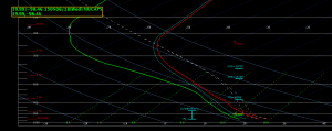
Surface METAR data was overlaid to determine a representative temperature and dewpoint for modifying the lowest levels of the sounding. The sounding was modified for a surface temperature of 69 and a dewpoint of 61 based on nearby METAR observations. A broken cumulus field was evident on the visible GOES image at 1830Z. There was some concern for the data quality in the cloudy areas, but the quality appeared to look reasonable. The retrieval indicated a CAPE of 1705 J/KG with no CINH… which supported the breaking of the cap and additional thunderstorm development.
-Daniel Nietfeld


