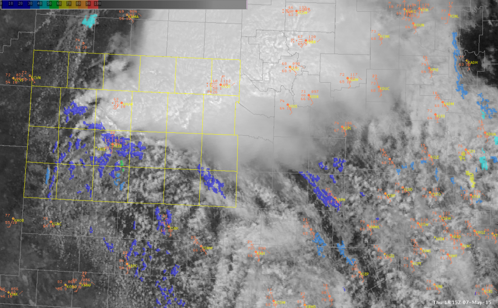
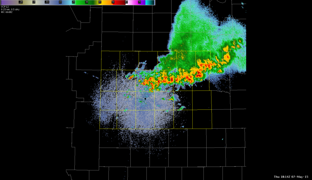
This morning iin the TX panhandle there was an existing west-east line of thunderstorms stretched across the northern portion of the LBB CWA. A warm front was aligned SW-NE across the AMA CWA, with a dryline across the southern panhandle and a nice dryline bulge south of the CWA.


CI has tended to be more of a “now”cast as opposed to a forecast.


By the time the CI was high, convection was already ongoing in that area. More frequent satellite data would definitely help in these rapid development situations!
