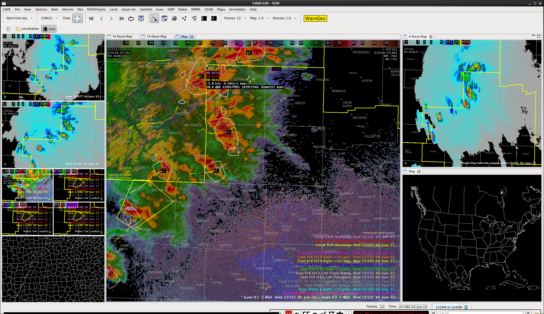
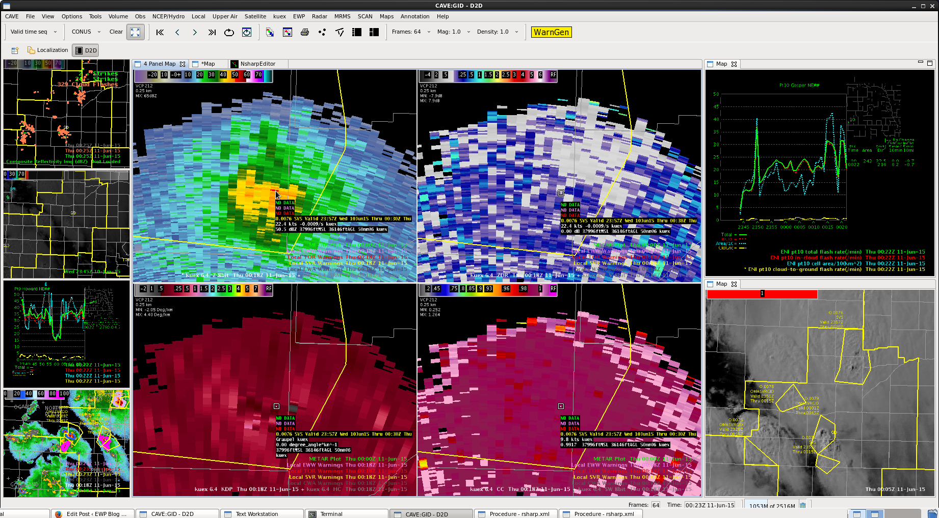
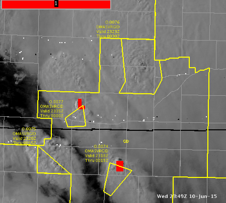
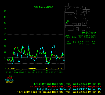
Had a cell form quickly along the merger of a couple of outflow boundaries. ProbSevere quickly picked up on it and it quickly had a bit of lightning with it too. Made the warning 30 minutes to get a gauge on which direction it would end up moving.


Official websites use .gov
A
.gov website belongs to an official government
organization in the United States.
Secure .gov websites use HTTPS
A
lock (
) or https:// means you’ve safely connected to
the .gov website. Share sensitive information only on official,
secure websites.

Had a cell form quickly along the merger of a couple of outflow boundaries. ProbSevere quickly picked up on it and it quickly had a bit of lightning with it too. Made the warning 30 minutes to get a gauge on which direction it would end up moving.
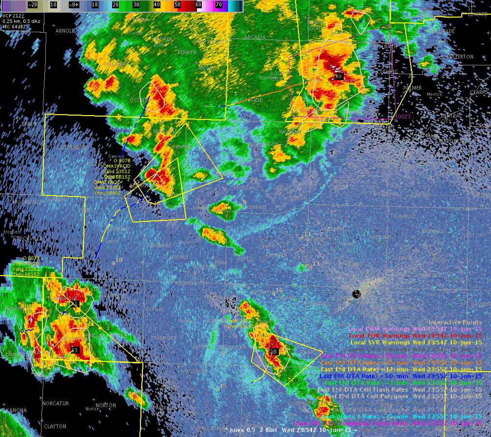
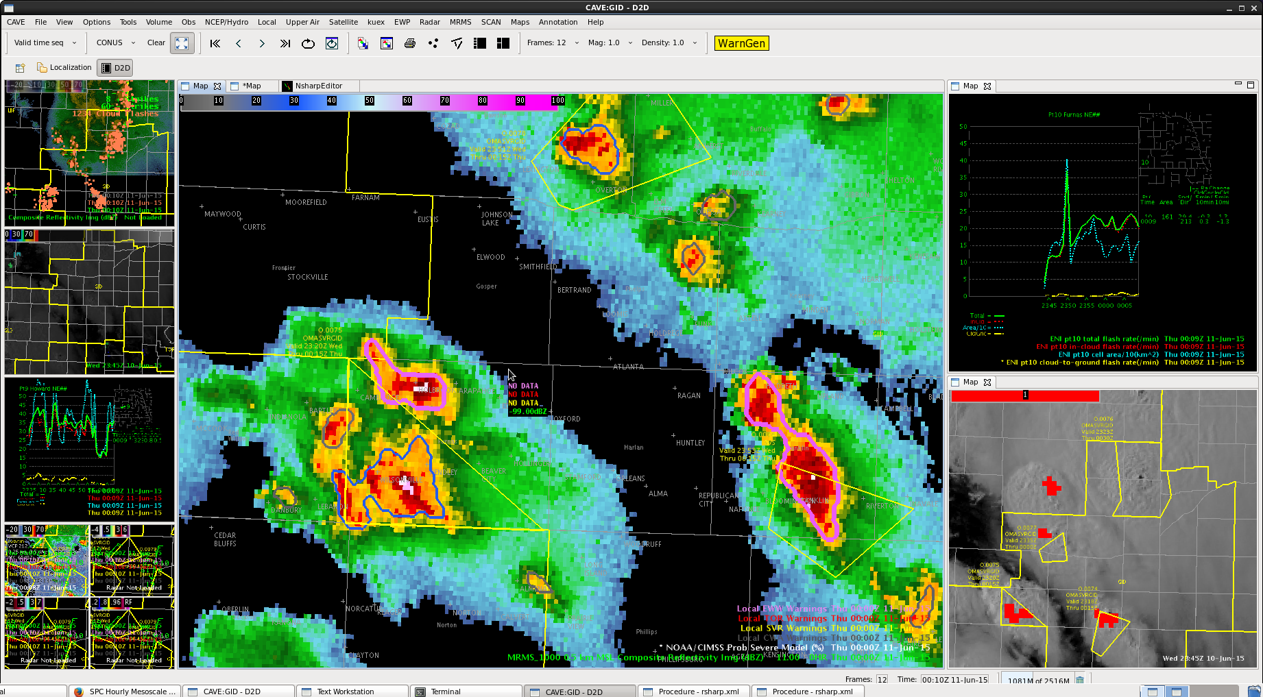
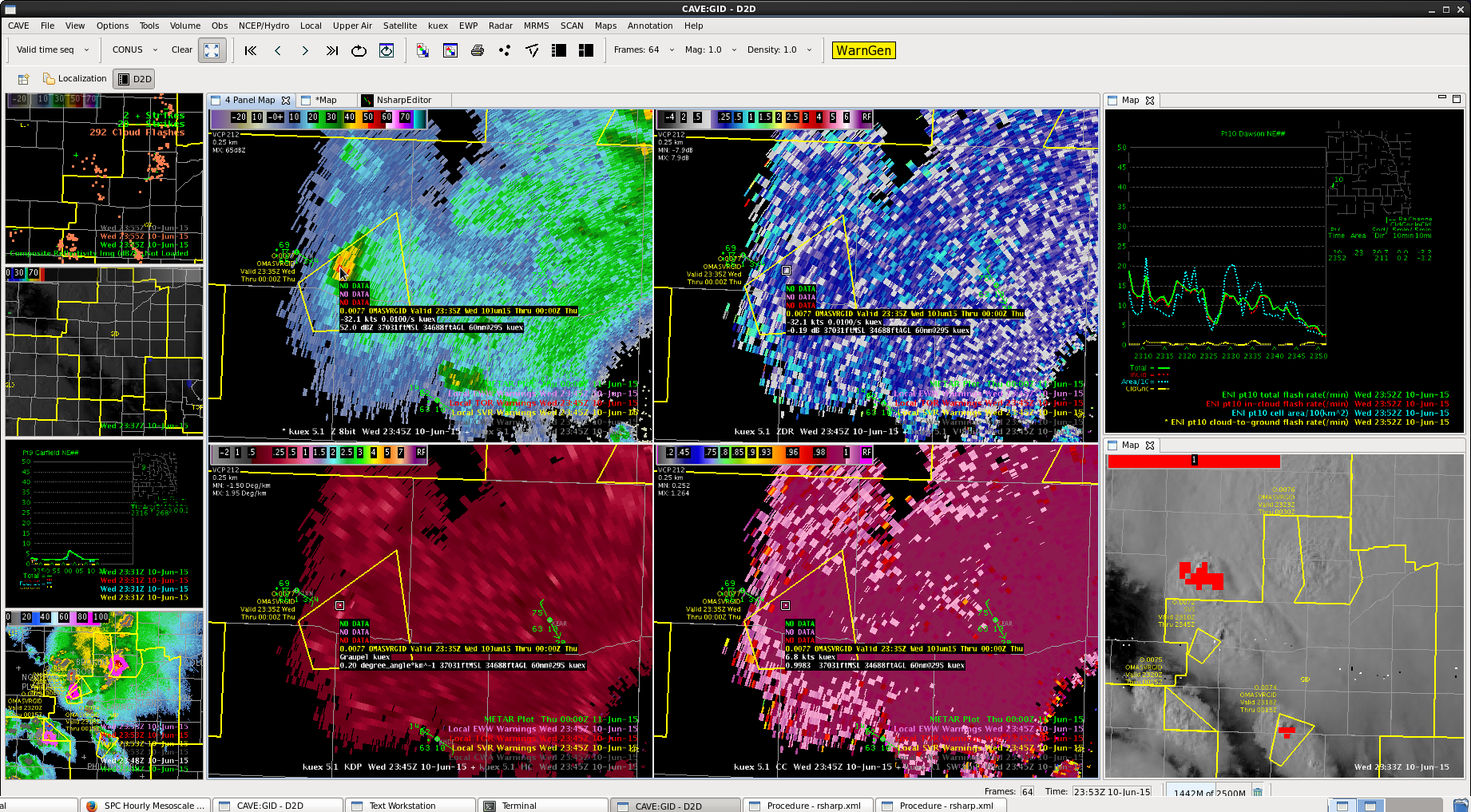
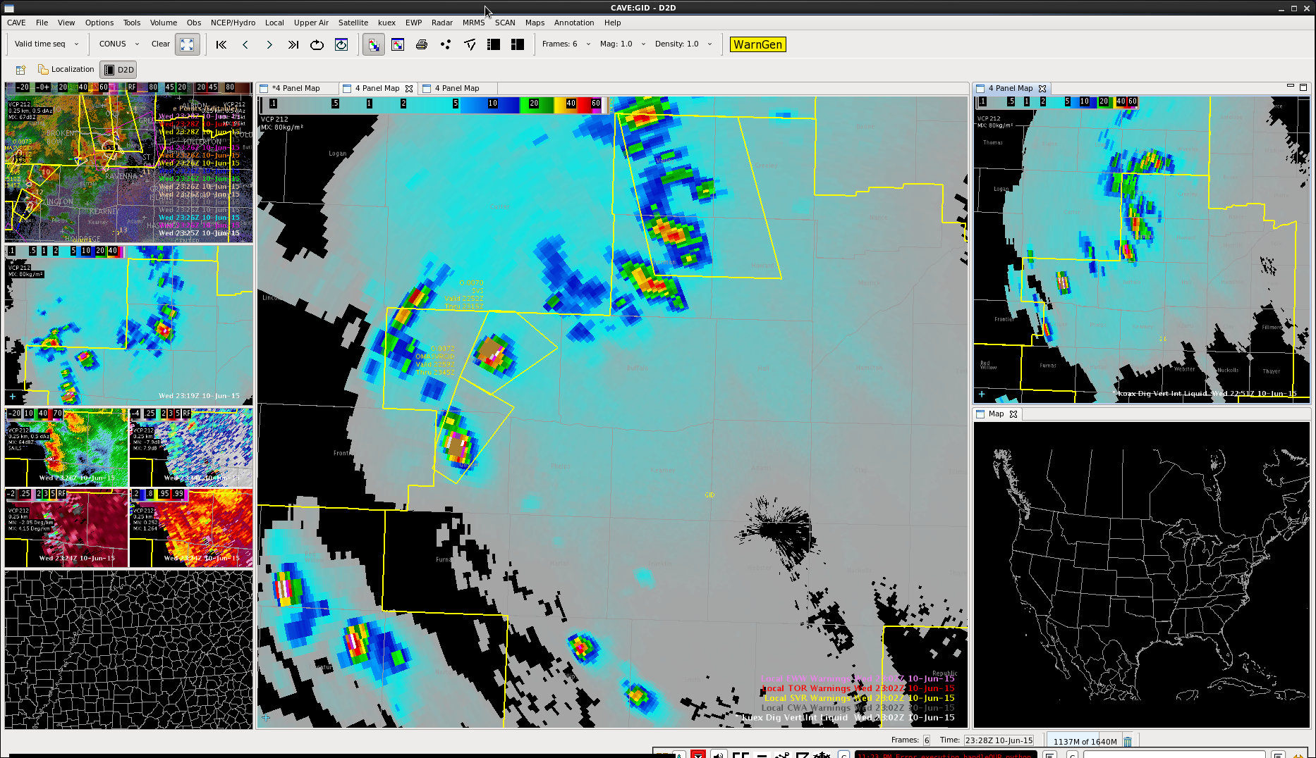
line of storms moving north from Gospar county. DVIL high again, not a good angle to see wind speeds. Would guess the primary issue would be hail here.
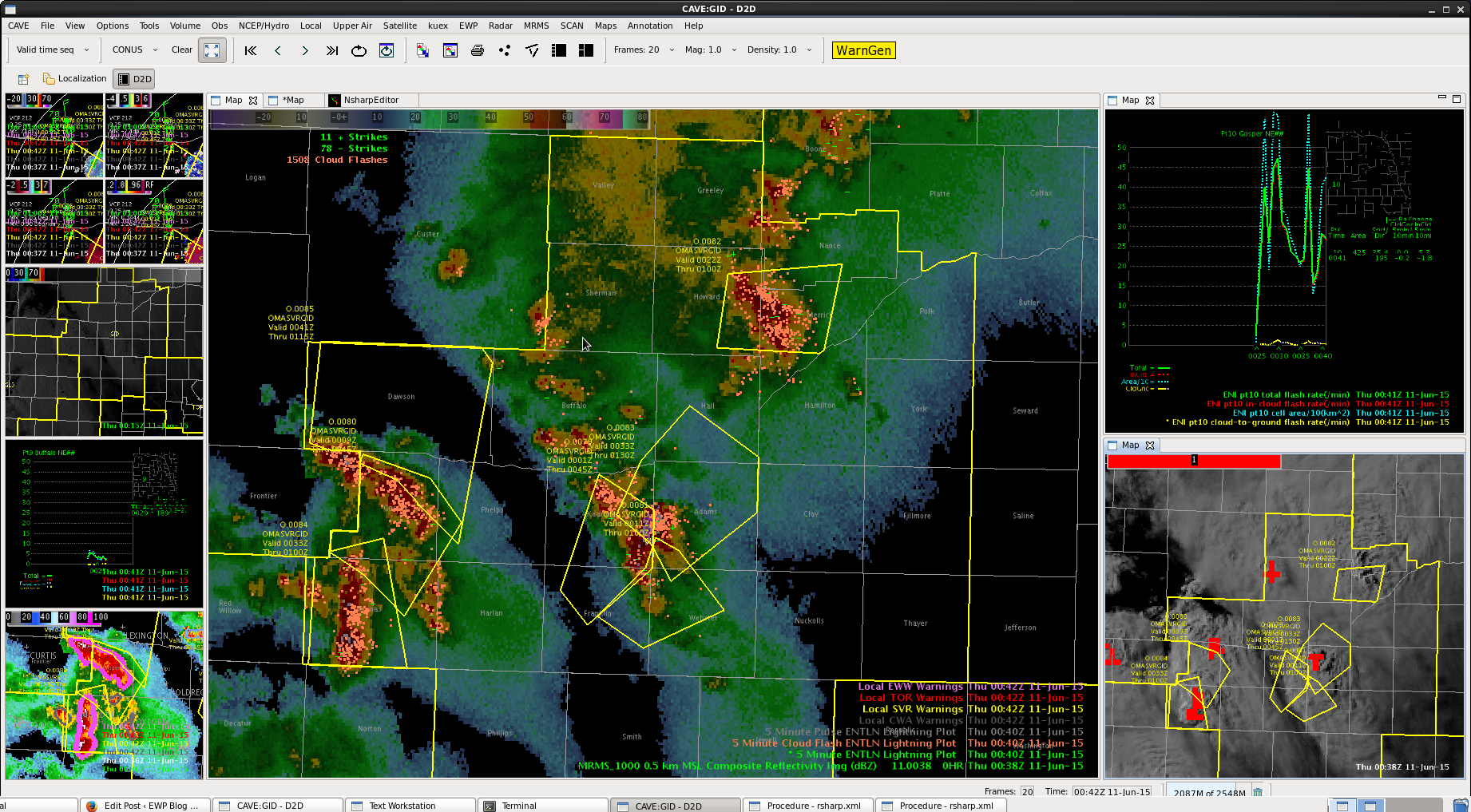

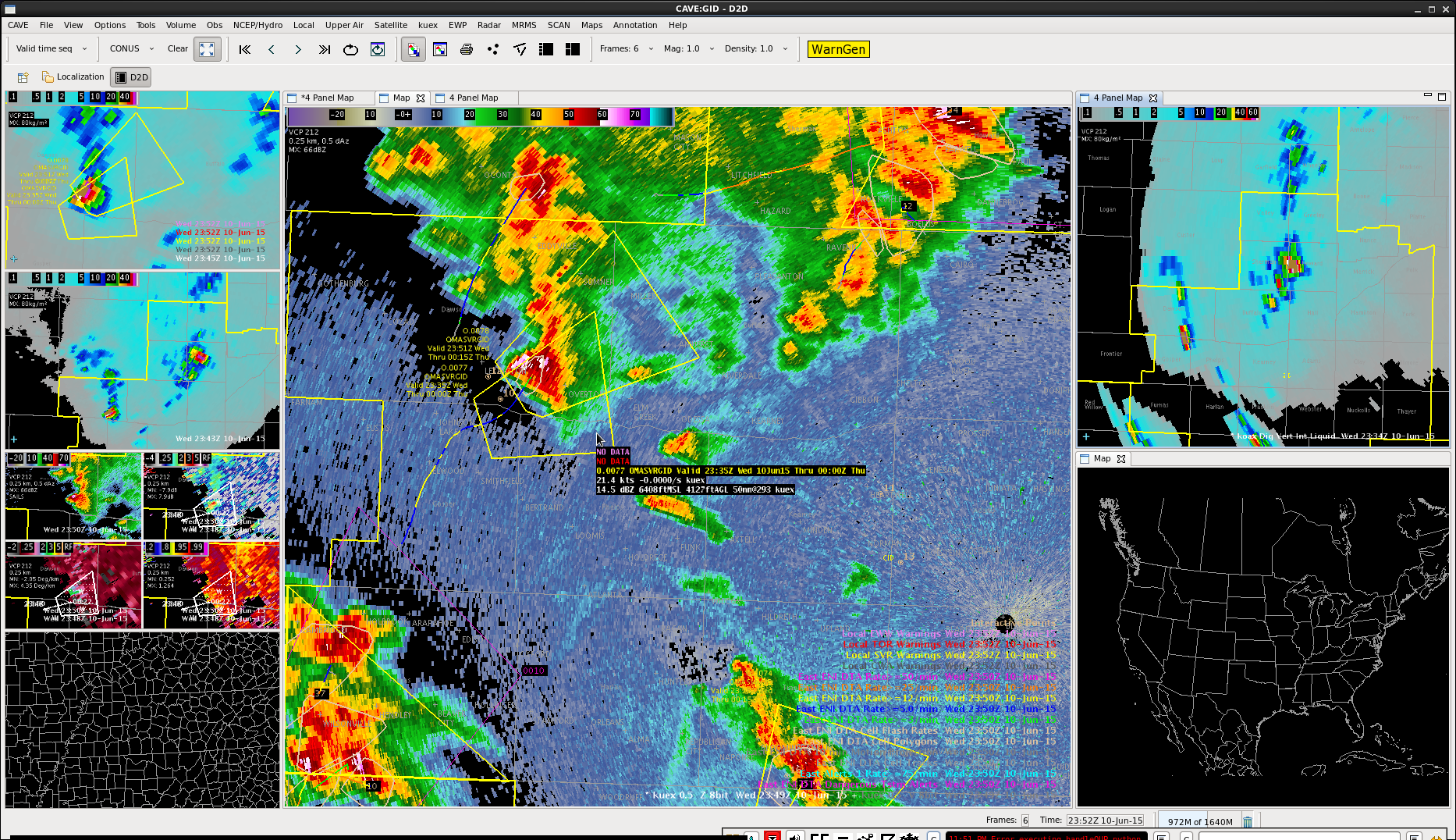
 More cells developing behind the line we originally warned for in Furnas county.
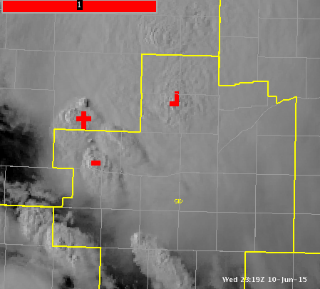
Overshooting top signal and concentrated lightning flashes.
Decided against going for another wide warning, focusing more on the part of the storm with the highest DVIL. Had another overshooting top in that area as well.
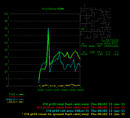
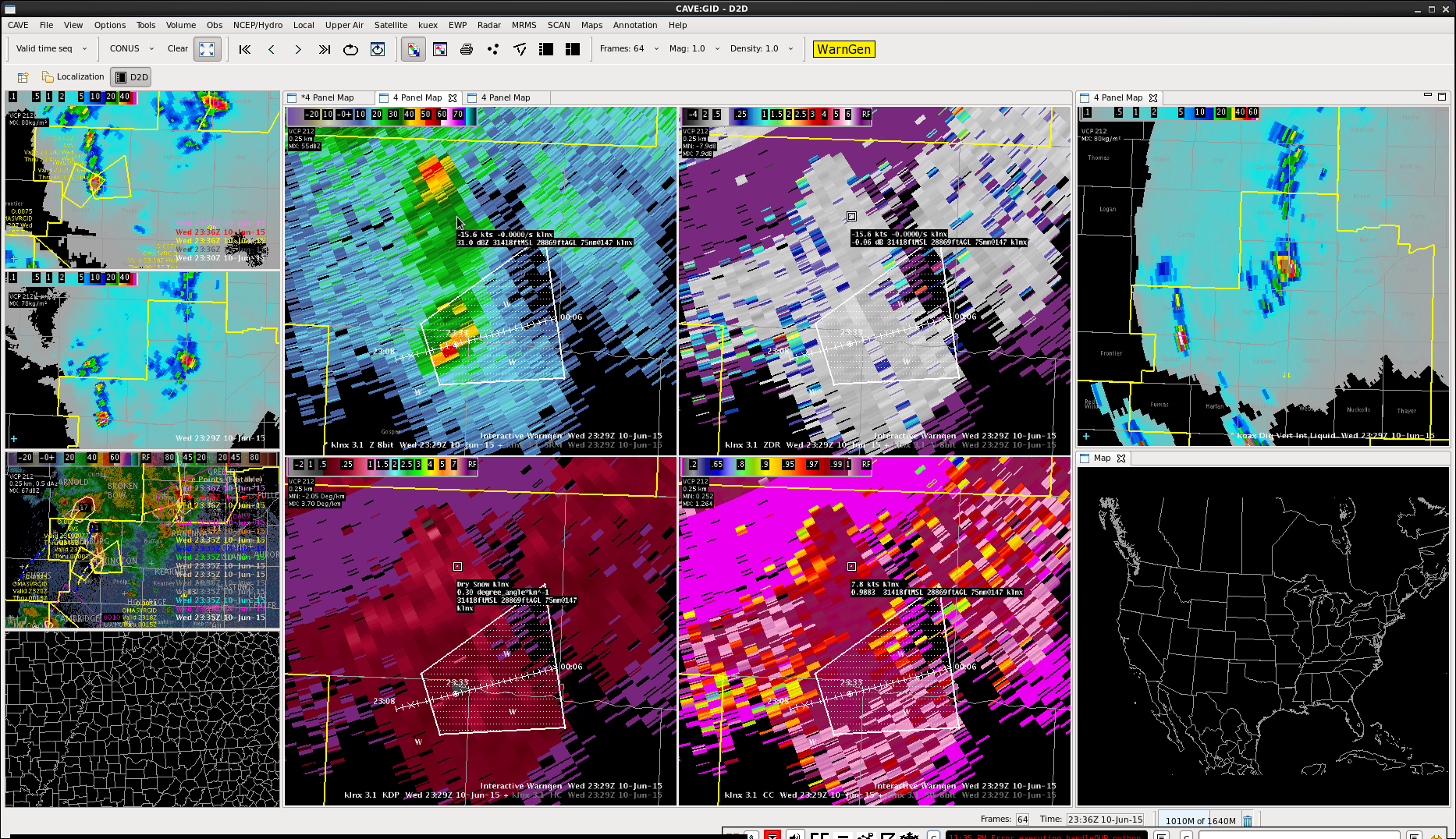
 Had a cell form north of previous warning in Furnas county. DVIL going up and time series lightning showed that cell contracting some (area went down with lightning holding steady). Had an overshooting top few pixels in there as well.
Initial thinking from radar data is that cell is starting to die down, but did have a few more upticks in overshooting top product. Cell is no longer deviant in motion and got a new warning out to cover its trip back to the northeast.
Tall cells continue, perhaps a turn to the right for the worst of the cell.

 Lightning data fairly consistent, and not many strikes comparatively.

Continue to have an overshooting top and good DVIL with this line. Had some stronger wind gusts and at an airport in Valley county (53 mph). Near severe and extended the warning through the likely gust front area north of the higher DVIL storm.
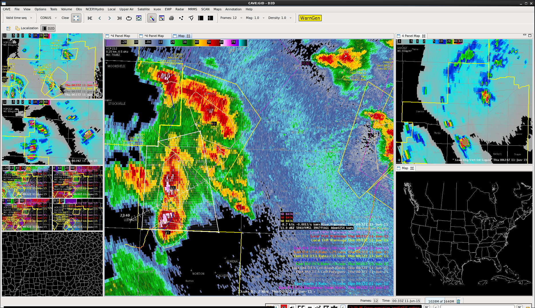
Cell slowed down and strengthened before heading out of CWA. Decided to go ahead and issue another warning to the CWA border.
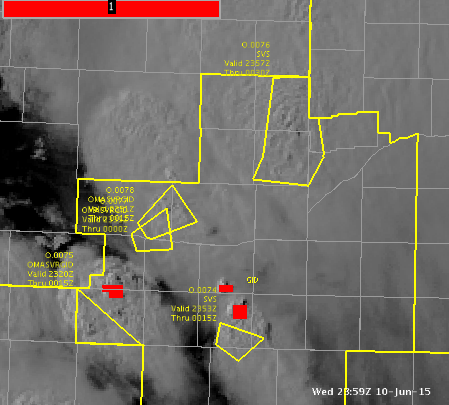
 UPDATE: Had a 3″ hail report at 605 10 miles north of Lexington. Images below are of DVIL from various radars near that time.
Overshooting Top picked up, lightning and DVIL picked up. Given how quick small cell in Valley county picked up earlier decided environment healthy enough for better development.