SJT Mesoscale Discussion

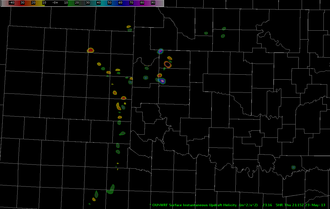
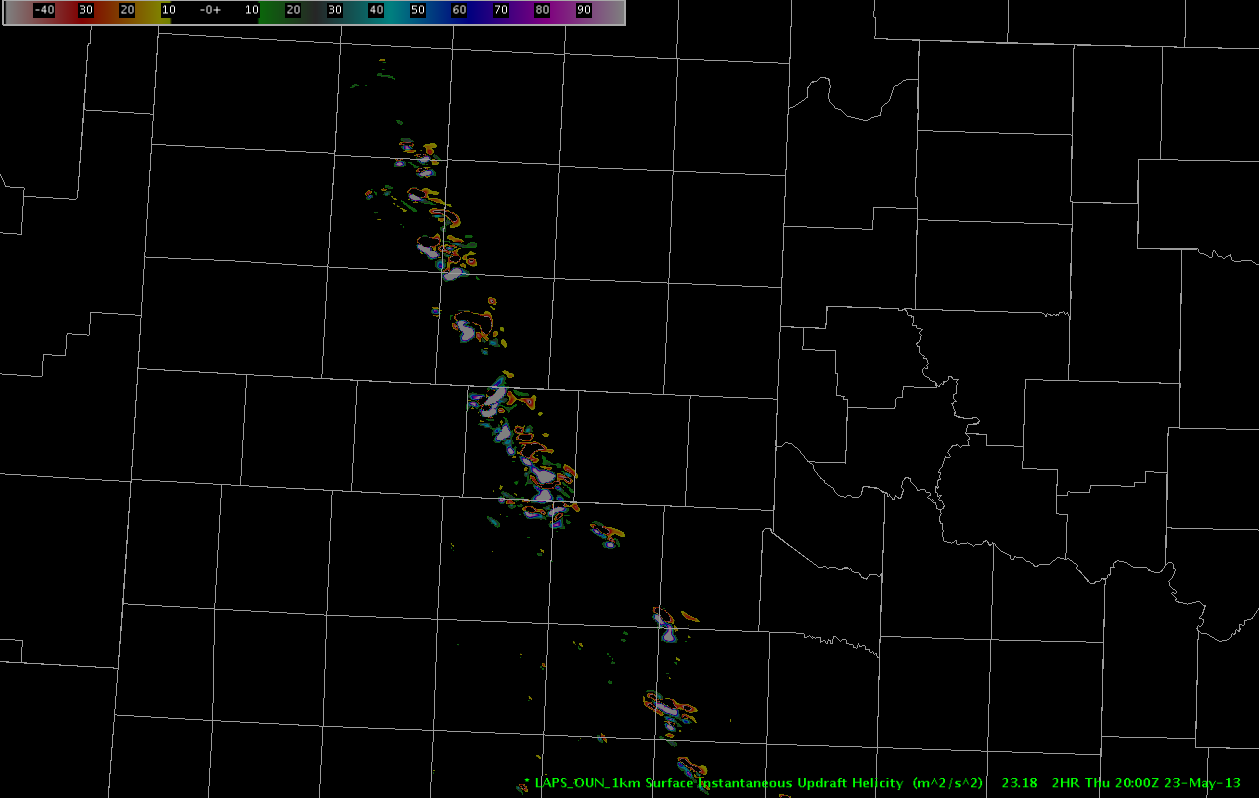
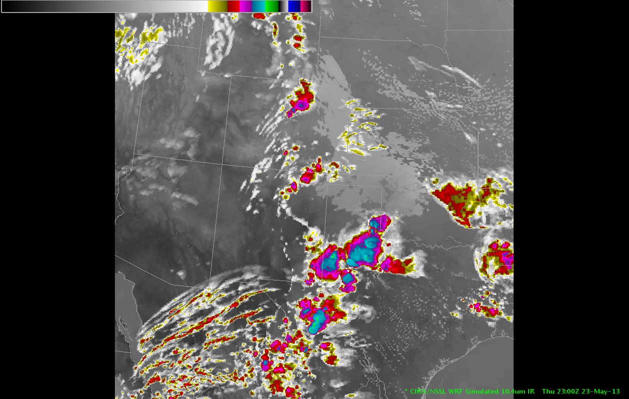
There is a warm front draped across the northern portion of the CWA with widespred cumulus developing along the front and broken skies in the warm sector. GOES-16 Day Cloud Convection RGB and Day Cloud Phase RGB show that a few of these storms have already glaciated indicating the convective initiation is underway. (Below)
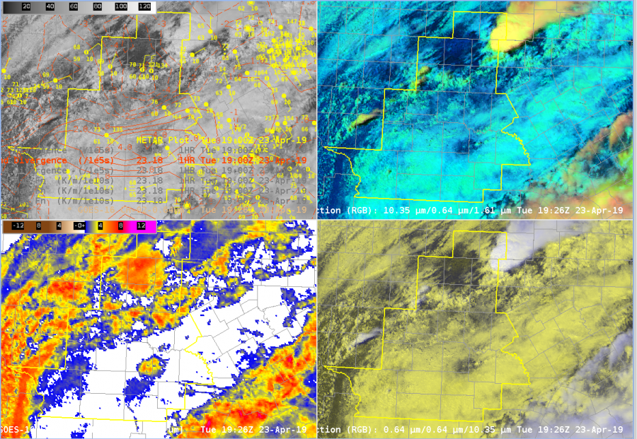
Laps All Sky retrievals show a relatively sharp instability gradient along warm front where our convection initiated. Storm motion is likely to be parallel to the front, so convection that does will likely be relatively long lived. (Below)
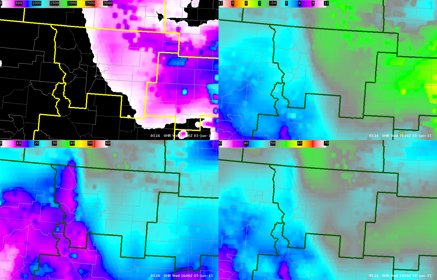
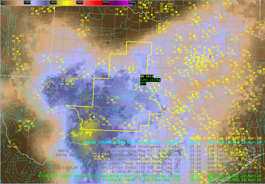
Laps All Sky LI further indicates that the airmass is relatively unstable and there will be little convective inhibition at least in the midlevels. (Below)
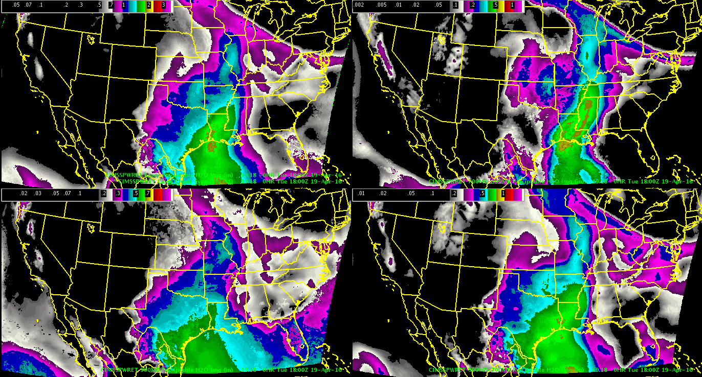
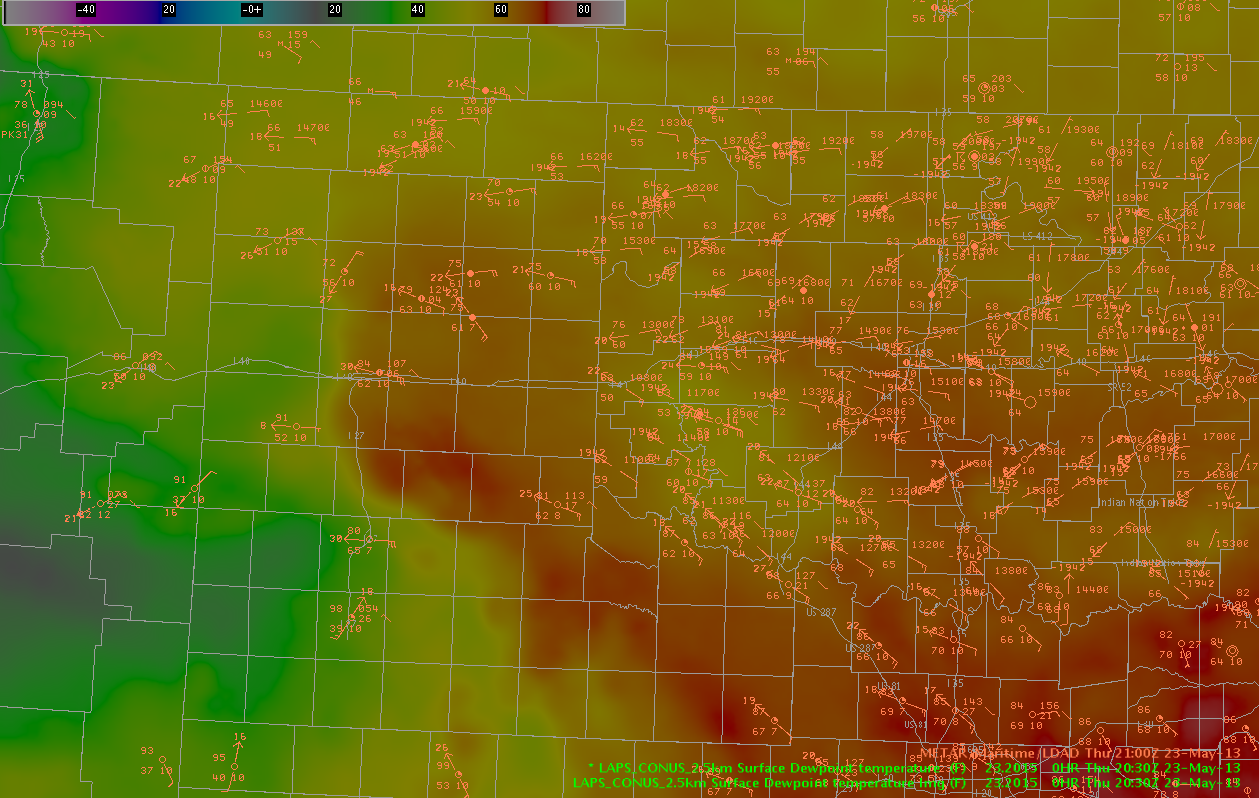
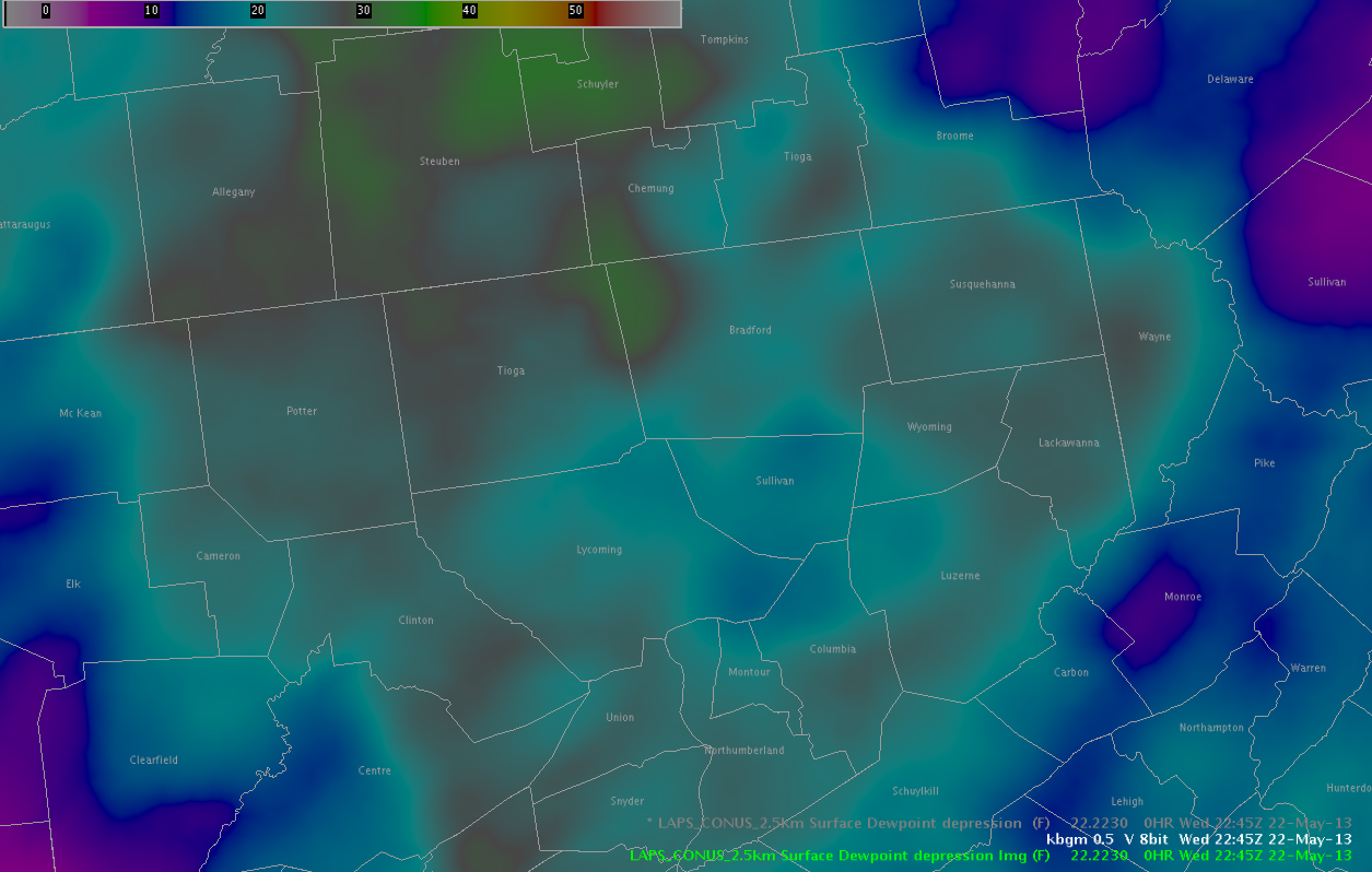
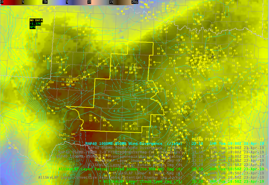
All Sky TPW indicates a relative moist airmass across the CWA with PWs above 1″ for most of the CWA. This matches the 12z sounding from MAF relatively well, and is well above the 90% threshold of the sounding climatology for that location and date. It’s interesting that the mid-level moisture (bottom left) is higher than the low level moisture (bottom right). Not quite sure what to make of that at this point. (Below)
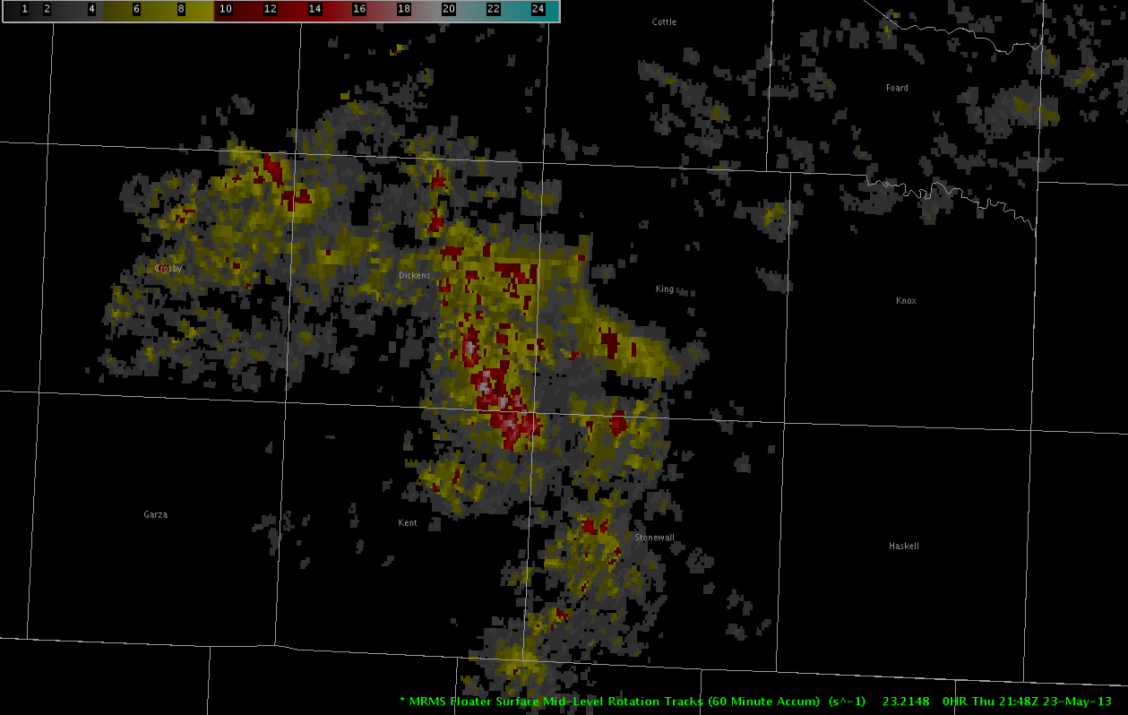
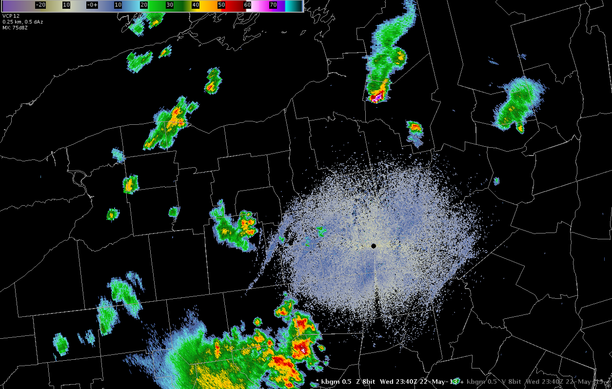
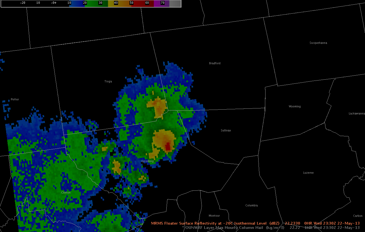
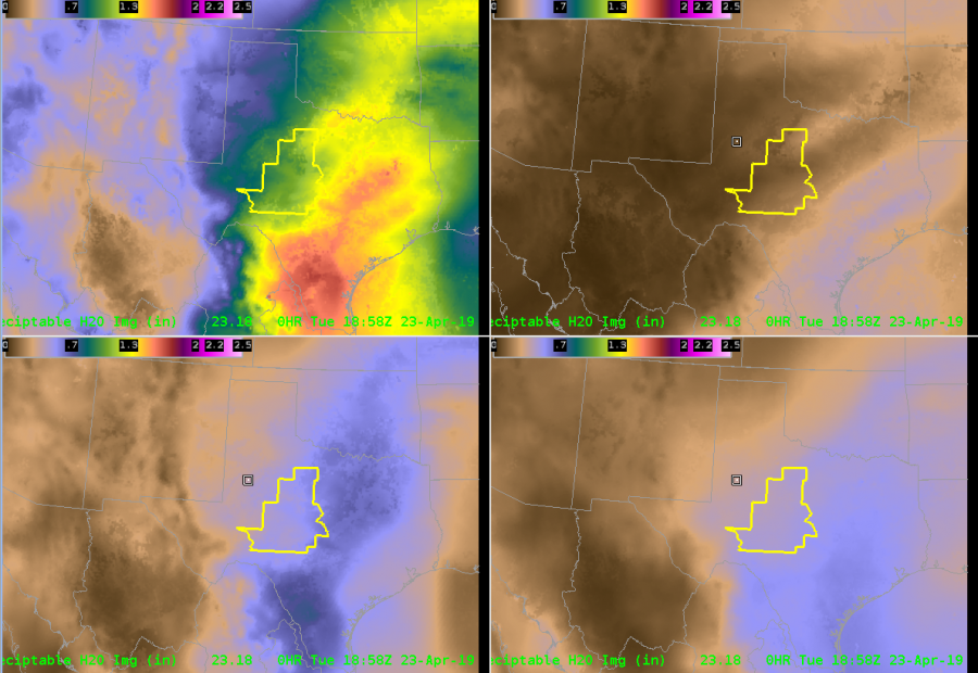
Finally, MRMS RALA indeed shows that showers and storms have developed along the front. When animated (not shown), you can see that the storms are tracking along the front, heightening my concern for flooding. 
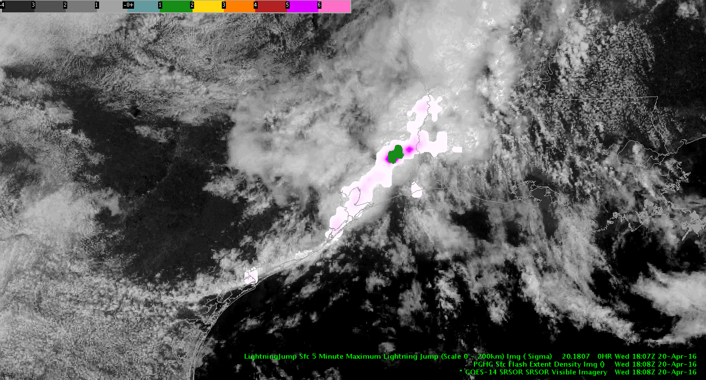
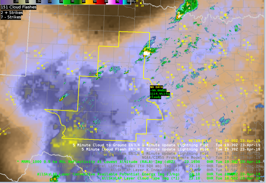
Sandor Clegane

Mesoscale Analysis as of 1830z

J-Money Mesoscale Analysis as of 1830z:

Two regional short-wave features to note in the 700-500 mb layer this afternoon, as per water vapor imagery and meso-analysis data.  The leading system was near the TX/LA border and pushing east, with associated storms being heavy rain producers, given saturated, weakly sheared environment.  Houston LMA and flash rate density products show a fair amount of lightning as well.

Through 19-22z, better convective potential may shift to central/south TX, as a subtle 700 mb short-wave over west TX moves in.  This may interact with a decelerating outflow boundary in the vicinity.  Layered PW data depicts the leading edge of mid-level dry air and presumably steeper lapse rates as well.  Main question is can strong 700 mb cap shown on 12z KDRT sounding be overcome.  Time will tell.   Maybe 19z NUCAPS could help later today?

LayeredPW_CentralTX

1-minutevis_lightning


Tags: None

18z Meso Update

Large-scale upper low continues to spin across the Central Rockies this afternoon with broad cyclonic flow prevailing over much of the Southern Rockies.  On the mesoscale, latest data from the SRSOR 1-km visible satellite imagery shows along diffuse outlow boundary remnant of last night’s convection slowly sagging south across southern Texas. To its north, notable clearing ongoing this hour across much of central Texas into the Texas Hill County. Prevailing through with respect to today’s convective potential involves to possible areas, with the first likely kicking off sometime around 21z as isolated cells begin to develop across the Hill County in aforementioned clearing, while another round of shwrs/storms is expected to develop across the northwestern TX panhandle after the 02z time frame as shortwave energy slides across the region. After development, high-res models to include the HRRR and 3km TTU-WRF show this secondary area of convection congealing and forming into a forward-propagating MCS as it dives southeast across the Red Rvr Vly into northeastern TX during the early morning hrs.

In terms of severe potential for the experiment, the prevailing through going forward has been swayed to the Texas Hill Country area as latest rapid-refresh soundings show a gradual erosion of the cap by mid-afternoon as shortwave energy approaches and boundary layer heating continues.  If cap is able to erode, effective bulk shear of roughly 40-45 kts will support supercell structures with large hail and damaging winds being the main threats.  Latest All-Sky LAP layered precipitable water data showing low-level moisture surging westward into the Hill County and Concho Valley regions of central Texas this afternoon.  Combine this increased low-level moisture along with better forcing for ascent and the gradual erosion of the capping inversion, this region should see an increased liklihood for developing convection later this afternoon.

torman1

Tags: None

Mesoanalysis for Lake Charles Area

Latest IR loop shows a tendency for warming tops through mid morning in the MCS followed by a reinvioration of convection with cooling cloud tops evident over the past hour. This is occurring as the convective complex moves toward a low-level theta-e axis evident in RAP mesoanalysis and Layer PW extending from Southwest Louisiana north-northeastward into Central Louisiana. As diabatic heating continues over this area an increasingly unstable enviornment is developing with MLCAPE ~1,000 J/KG as of this writing. Convection has developed in this area east of the MCS this morning so far. The severe threat will be limited given loose storm organization at best due to weak deep layer shear. Isolated marginal damaging wind events may occur, but significant hail size will be difficult to acheive given tendency for short duration updrafts, limited CAPE in the hail growth zone, and limited complex storm interactions/mergers. For this experiment we will be particularly interested early on PGLM lightning data from Houston, CG lightning probability, and lightning jump since severe thunderstorms may be hard to come by. A move to another area is being discussed for later this afternoon once we examine lightning for a little while longer in Lake Charles’ area.

Houston PGLM (and range ring) overlaid on regional low-level reflectivity

-dryadiabat


Tags: None

Early Afternoon Mesoanalysis Update

Latest WV/RAP PV analysis shows a shortwave rotating around the base of a persistent deep closed low to the west of the area early this afternoon. Subtle forcing from this feature should aid in convective development throughout the afternoon. 12z observed sounding at Midland shows a more moist boundary layer than the observation 12 hours prior with nearly saturated profile up to about 5KFT AGL where the base of a weak residual EML is present transported by modest westerly flow at this level extending up through the mid/upper atmosphere. Surface flow was not particularly strong per latest surface obs but plentiful surface moisture was already present with upper 50 to lower 60 degree dew points across much of southwest Texas east of the Davis Mountains. Some convection has initiated already mainly along and near terrain north. More widespread convection and a higher chance of severe will come later as diabatic heating contributes to greater instability and aforementioned shortwave nears. ~40 knots of effecive bulk shear should support organized cells including potential for supercells in an increasingly/moderately unstable environment. Convective initiation is expected mostly around difficult to define surface boundaries and terrain features.

-dryadiabat

Tags: None

Mesoscale Discussion as of 1830z

Mesoscale Discussion as of 1830z (J-Money):

On the large-scale, water vapor imagery shows an upstream short-wave over northern NM, rotating around the Rockies Front Range upper low.  As this feature continues to swing eastward into West TX this afternoon, convective coverage should grow.  This may especially be the case in the TX Big Bend area (MAF CWA), where the atmosphere is more unstable at this time (ML Capes of 750-1500 and 700-500 mb LR’s of 7+ C/km).  Although deep-layered shear is marginal as of 18z (0-3 km values of 15-20 kt), it should improve later this afternoon, as stronger mid-level winds rotate from Mexico and NM into West Texas.  This presumed unstable, deep-layer shear environment should support large hail with any supercell structures, and perhaps isolated downburst type winds.  1-minute visible imagery has been depicting increasingly rapid convective blowoff to the east with initial convective towers, perhaps attesting to the developing mid-level shear.  Once again today, the tornado threat looks low, with weaker 0-1 km shear and elevated LCL heights.

Regular CI products have been hinting at near-future storm formation in MAF’s CWA, just west of where a persistent low cloud mass is clearing out.  So far, Severe CI and Prob Severe values have been low.  We’ll monitor closely.


1930z Mesoscale Update

Diffuse surface front now stalled across the Permian Basin of west Texas.  South of this boundary, the 1-km GOES-14 data showing ample clearing of low clouds as daytime heating continues to heat the boundary layer this afternoon. As a result of surface dewpoints residing in the upper 50 to low 60s, moderate levels of instability have developed with latest SPC mesoanalysis showing 1500-2000 joules of MLCAPE. Deep-layered shear on the order 40 kts should allow for supercell structures as forcing for ascent increases ahead of pronounced shortwave trough appraching from south-central New Mexico. With -20C levels around 19.4 kft, supercells will be capable of large hail and strong damaging winds thanks for steep low and midlevel lapse rates.

Tags: None

KFTG mesoscale discussion

Large shortwave trough remains in the western CONUS, putting KFTG CWA in southwest flow. Surface low in western Colorado is bringing upslope flow.

16z GOES LAP stability indices indicate CAPE is increasing in far NE CO where the cloud deck has eroded over the past couple of hours. Clearing has been slow, however, per the super rapid scan visible imagery.laps

Dew points are in the mid-50s across the Front Range as of 18z, approaching 60F to the east.

KDNR sounding indicates a large cap at about 700mb, but 700-500mb lapse rate is 7.9C/km. EML is at about 700-550mb. 0-6km shear is favorable for rotation/supercells (~40-50 kt) for storms once they actually do fire.

MUCAPE 2000-3000 J/kg, but CIN is still at about 500-750.

Small puffs of cu developing in the mountains, but they have not grown notably over the past hour.

SWODY1 has the FTG CWA in an ENH risk.

Cattywampus & Jason Williams

Tags: None

EWP Mesoscale Discussion May 23 2220 UTC

A complicated convective scenario continues to evolve over western Texas in an area of weak mid level flow where mesoscale features have been the primary driver for storm motion, storm type, and severe weather type.

Severe supercell storms with all severe weather threats continue to move south southeastward across King and Dickens Counties into Kent and Stonewall Counties.  These storms have a history of tornadoes, golfball sized hail, and 80 MPH winds.  This severe threat is expect to persist as these storms move slowly along a region of high theta-E air with dew points in the low to mid 60s.

2030ZDewPointTempsLAPS

Recent radar trends show strong mid level rotation continuing in King County…and there is no current reason to believe that this storm will weaken at any point soon.

2148ZThursMidLevelRotationTrack

Because storm mode is expected to be supercellular for at least the next couple of hours and possibly longer…significant severe threats of all modes should be expected in the path of this storm.  In addition to continuing to travel along this boundary of rich theta-E air…NEARCAST products indicate a region of substantial destabilization in the path of this storm.

Thurs22ZVerticalThetaEDifference

To the north, in the AMA area, potential for convection continues to be monitored to the north where considerable destabilization is forecast by GOES-Nearcast vertical theta-E difference.  A strong outflow boundary has pushed to the north and west of the LBB area storms… which continues to complicate the convective scenario.  Originally…  deeper convection was noted on the Cloud Top Cooling product…  and though the echo has struggled to develop…  lightning and a severe MESH indicator are now noted within an echo in Potter County.  Convection may continue to increase along the outflow boundary in the next couple of hours…  with hail and wind being the main threats.

To the south, in the Midland CWA, convection developed in areas of higher terrain and drifted slowly to the north-northeast.  The strongest storm at this time is moving into Andrews County.  These storms have been moving slowly to the north over an atmosphere characterized by dry air…and though the MESH product continues to indicate a threat of hail in the strongest storms…a threat of damaging wind will likely be the primary threat until the storms reach higher moisture.

– Sears/McCormick

Tags: None

EWP Mesoscale Discussion May 23 2000 UTC

Morning convection has departed the OUN area… and a cooler outflow air mass is now in place across much of Oklahoma.  Warm, humid air is located to the east of a dryline and to the west of the outflow boundary with dew points approaching the mid 60s all the way to the I27 corridor.  East winds are observed ahead of the dryline on LAPS imagery bringing an upslope component to the surface flow.

Convective initiation has begun to develop in Floyd County TX…  and coverage is expected to increase as the afternoon continues along an axis of rich theta-E air indicated on LAPS imagery stretching from Moore County TX to a maximum in Randall County TX and to the south-southeast towards Jones County TX.

1845ZThursThetaEWinds

Early convection has been noted to be fairly robust…  with a -17 C/15 minutes cloud top cooling noted with the Floyd County storm and a MESH exceeding 1 inch about 30 minutes later and now with a MESH of 1.73 inches.

OUN WRF indicates a bigger threat of storm splitting which would suggest the main threat to be large hail…  while the 1 KM LAPS shows robust updraft helicity in the Texas panhandle, suggesting risk of tornadoes in the warm sector air just west of and along the outflow boundary.   One brief touchdown was recently reported near Cedar Hill and mid level rotation tracks have noted to be increasing in strength.

OUNWRFhelicity2115Z

Thurs2000ZLAPShelicity

Simulated satellite imagery and short term models indicate that convection will develop quickly by 23Z along much of the dry line and moving slowly to the east.  In addition to the hail and tornado threat…  as the line congeals into a convective system in the evening hours…  a wind threat is likely to develop as well.

ThursSimSat2300Z

OUNWRFWindThreat

– Sears/McCormick

Tags: None

EWP Mesoscale Discussion 2330 UTC

A severe threat continues in Oswego and Oneida counties…  where an intense thunderstorm continues to move eastward, and golfball sized hail was recently reported in Central Square.  The storm continue to move into a region of theta-E characterized  by values of greater than 342 K…  and lower dew point depressions near 10 K.

2340BR1

Farther to the south…  dry air continues to dominate much of the southern portion of the BUF CWA and the southwestern portion of the BGM CWA.  Convection has tried to develop throughout the cumulus field throughout the afternoon…  but the substantial convection to this point has been confined to a narrow ribbon of moisture rich air just south of Lake Ontario, as previously discussed.

One exception is near Sullivan County PA in the southern portion of the BGM CWA…  where a small region of higher moisture is indicated by the LAPS analysis.  In addition to a threat of strong winds…  as DCAPE values exceed 800 J/kg in a region with dew point depressions approaching 30 degrees F in some cases…  a marginal severe hail threat is also evolving for the BGM area in Sullivan and Bradford Counties in the next couple of hours where LAPS is indicating higher surface dew points.  Recent radar trends indicate that reflectivity above 0 C has increased in recent scans as well.

2245DPDWed

2330Reflect-20C

– Zimmerman/McCormick

Tags: None