
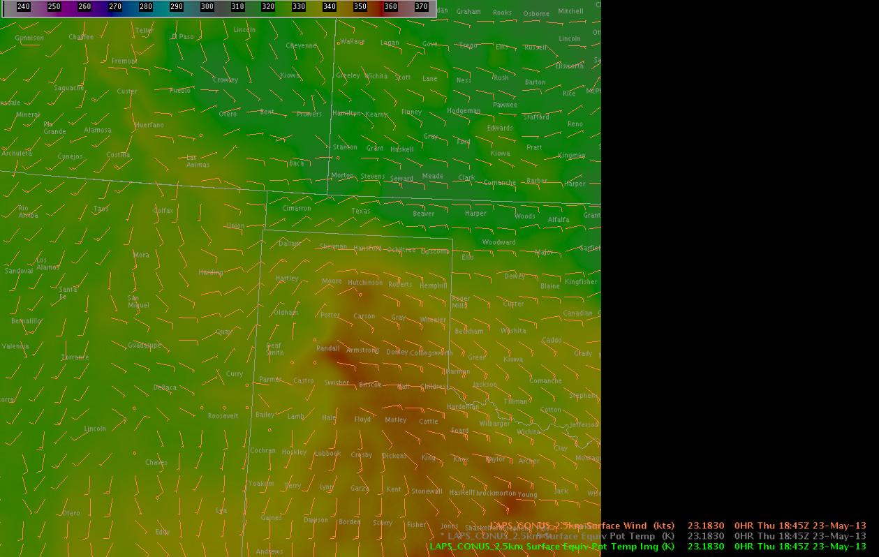
Morning convection has departed the OUN area… and a cooler outflow air mass is now in place across much of Oklahoma. Warm, humid air is located to the east of a dryline and to the west of the outflow boundary with dew points approaching the mid 60s all the way to the I27 corridor. East winds are observed ahead of the dryline on LAPS imagery bringing an upslope component to the surface flow.
Convective initiation has begun to develop in Floyd County TX… and coverage is expected to increase as the afternoon continues along an axis of rich theta-E air indicated on LAPS imagery stretching from Moore County TX to a maximum in Randall County TX and to the south-southeast towards Jones County TX.
Early convection has been noted to be fairly robust… with a -17 C/15 minutes cloud top cooling noted with the Floyd County storm and a MESH exceeding 1 inch about 30 minutes later and now with a MESH of 1.73 inches.
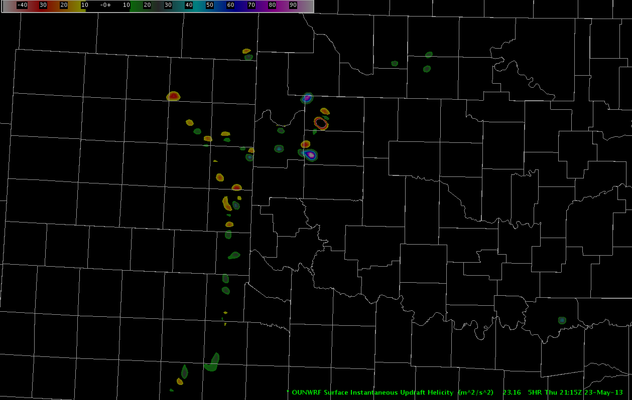
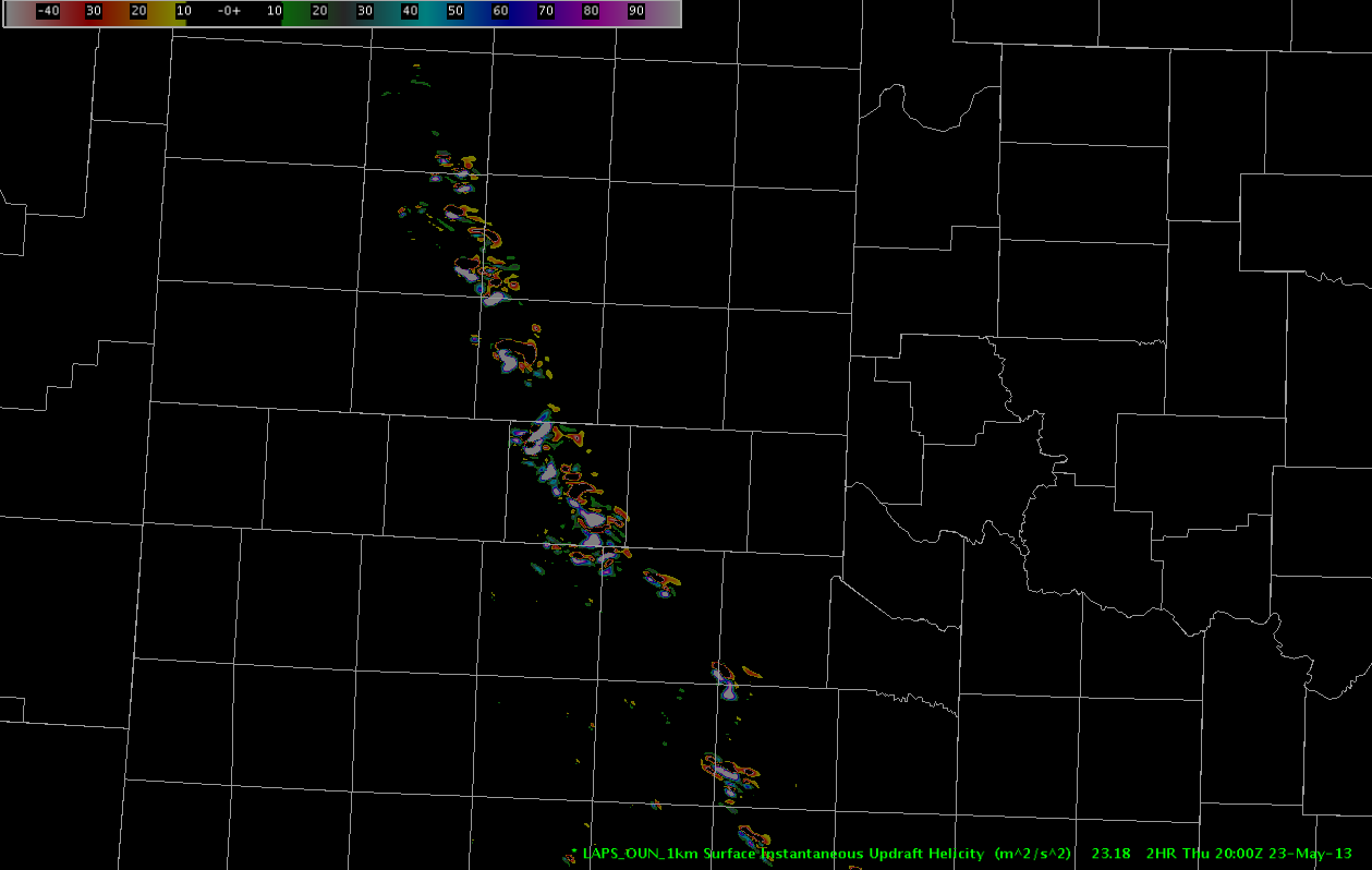
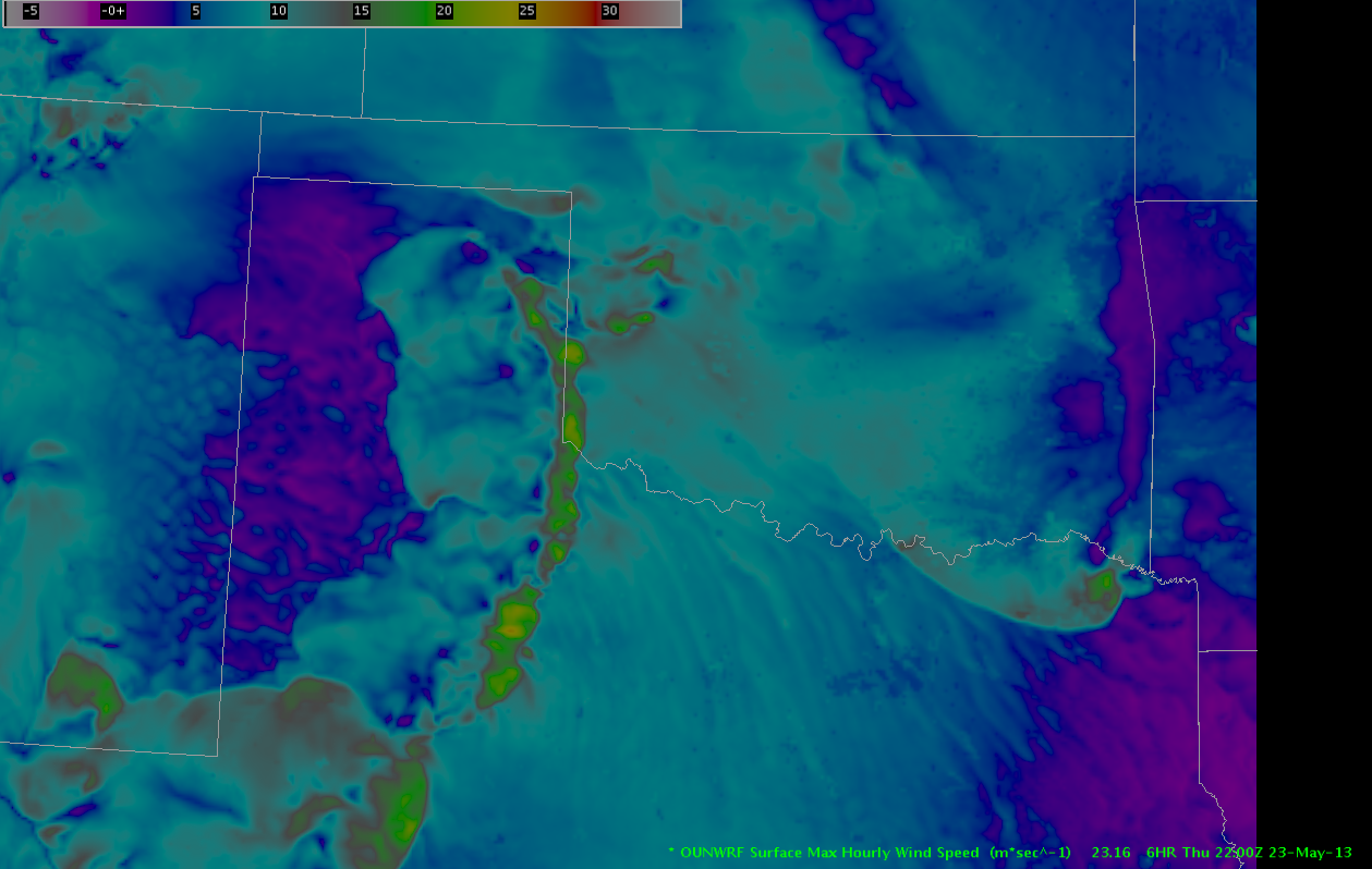
OUN WRF indicates a bigger threat of storm splitting which would suggest the main threat to be large hail… while the 1 KM LAPS shows robust updraft helicity in the Texas panhandle, suggesting risk of tornadoes in the warm sector air just west of and along the outflow boundary. One brief touchdown was recently reported near Cedar Hill and mid level rotation tracks have noted to be increasing in strength.
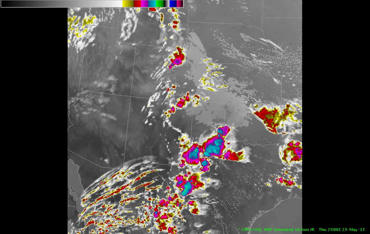
Simulated satellite imagery and short term models indicate that convection will develop quickly by 23Z along much of the dry line and moving slowly to the east. In addition to the hail and tornado threat… as the line congeals into a convective system in the evening hours… a wind threat is likely to develop as well.
– Sears/McCormick