A complicated convective scenario continues to evolve over western Texas in an area of weak mid level flow where mesoscale features have been the primary driver for storm motion, storm type, and severe weather type.
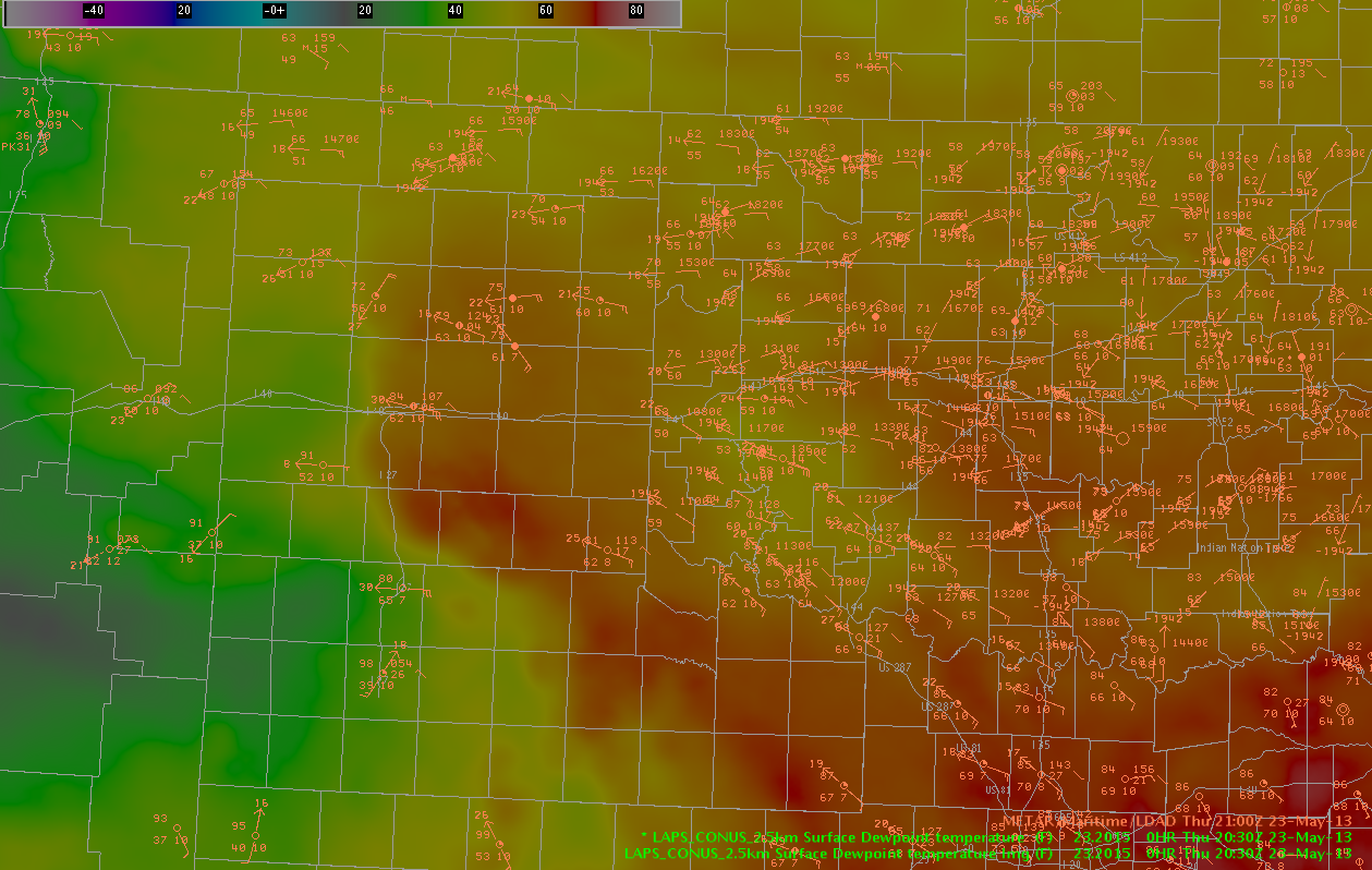
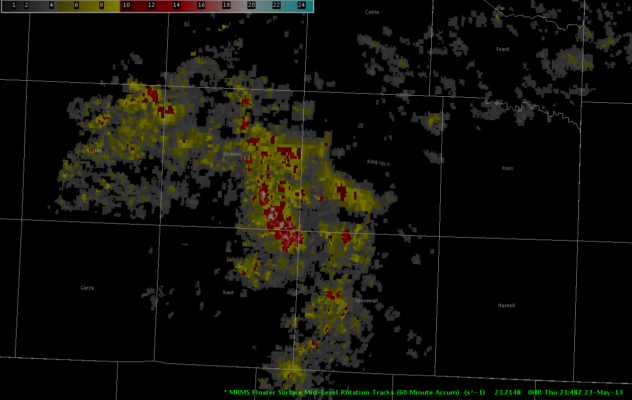
Severe supercell storms with all severe weather threats continue to move south southeastward across King and Dickens Counties into Kent and Stonewall Counties. These storms have a history of tornadoes, golfball sized hail, and 80 MPH winds. This severe threat is expect to persist as these storms move slowly along a region of high theta-E air with dew points in the low to mid 60s.
Recent radar trends show strong mid level rotation continuing in King County…and there is no current reason to believe that this storm will weaken at any point soon.
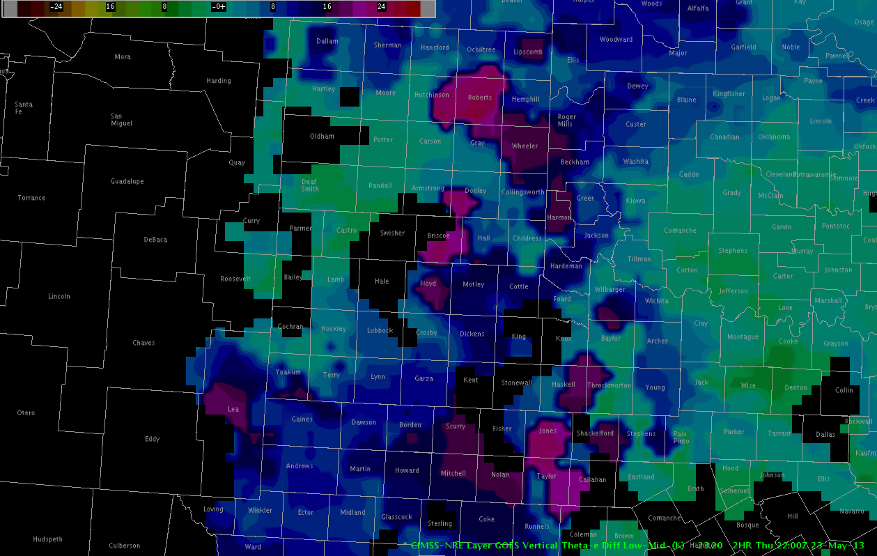
Because storm mode is expected to be supercellular for at least the next couple of hours and possibly longer…significant severe threats of all modes should be expected in the path of this storm. In addition to continuing to travel along this boundary of rich theta-E air…NEARCAST products indicate a region of substantial destabilization in the path of this storm.
To the north, in the AMA area, potential for convection continues to be monitored to the north where considerable destabilization is forecast by GOES-Nearcast vertical theta-E difference. A strong outflow boundary has pushed to the north and west of the LBB area storms… which continues to complicate the convective scenario. Originally… deeper convection was noted on the Cloud Top Cooling product… and though the echo has struggled to develop… lightning and a severe MESH indicator are now noted within an echo in Potter County. Convection may continue to increase along the outflow boundary in the next couple of hours… with hail and wind being the main threats.
To the south, in the Midland CWA, convection developed in areas of higher terrain and drifted slowly to the north-northeast. The strongest storm at this time is moving into Andrews County. These storms have been moving slowly to the north over an atmosphere characterized by dry air…and though the MESH product continues to indicate a threat of hail in the strongest storms…a threat of damaging wind will likely be the primary threat until the storms reach higher moisture.
– Sears/McCormick


