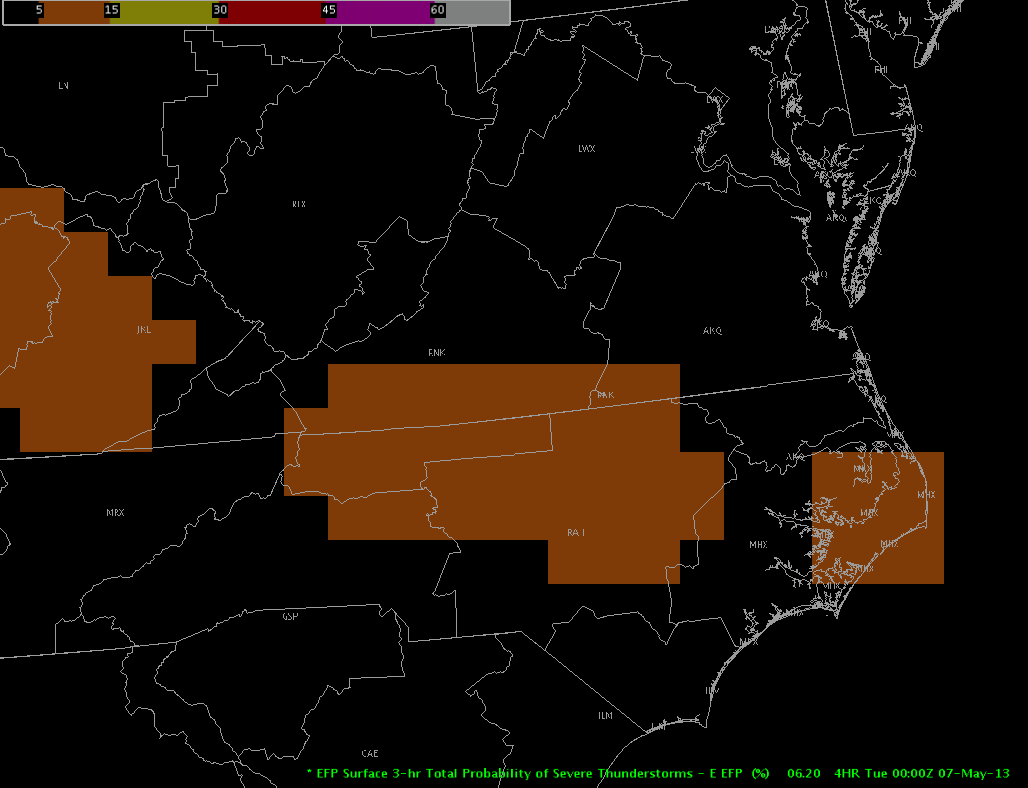
A cluster of storms continues ahead of a diffuse surface boundary located across west-central North Carolina into southwest Virginia. Convergence continues to be the primary convective driver in association with an upper-level low continuing to rotate across eastern Tennessee.

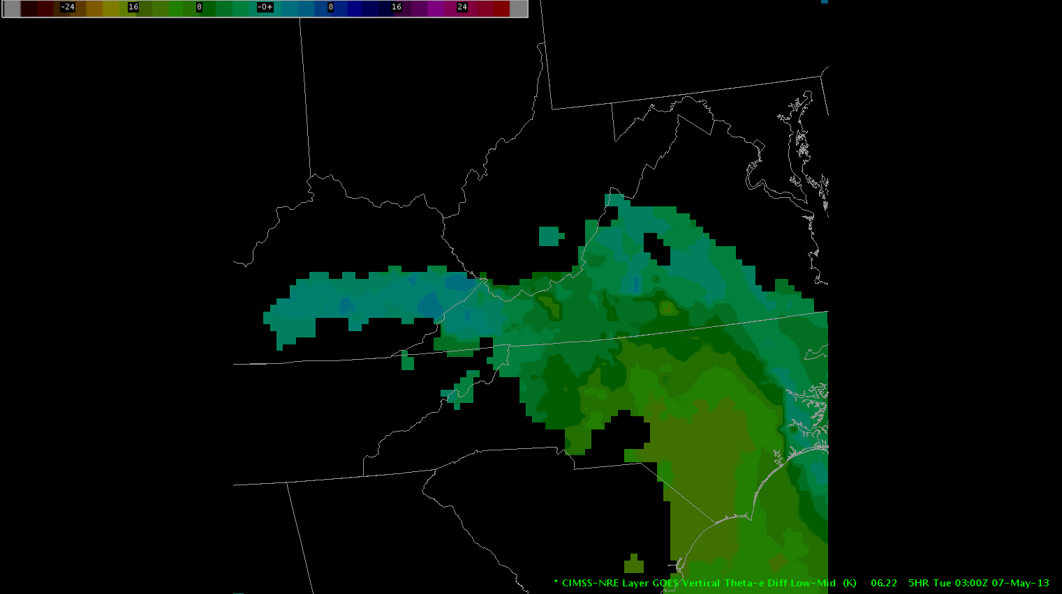
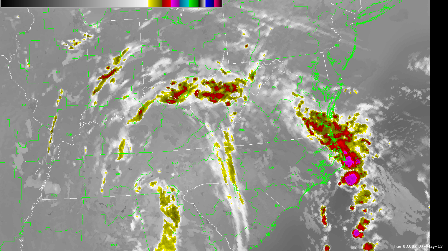
Cold temperatures aloft, as shown by H50 temperatures near -20C, and moderately steep lapse rates will continue to support a marginal threat for large hail through 01Z. Near-surface instability will decrease in the next couple of hours as diurnal heating comes to an end and low-level theta-e values decrease as depicted by the CIMSS Nearcast tool. Tend to side with simulated satellite imagery showing storms coming to an end by 03Z across the Blacksburg County Warning Area as
Hampshire/Guseman