Outlook – 22 April 2008

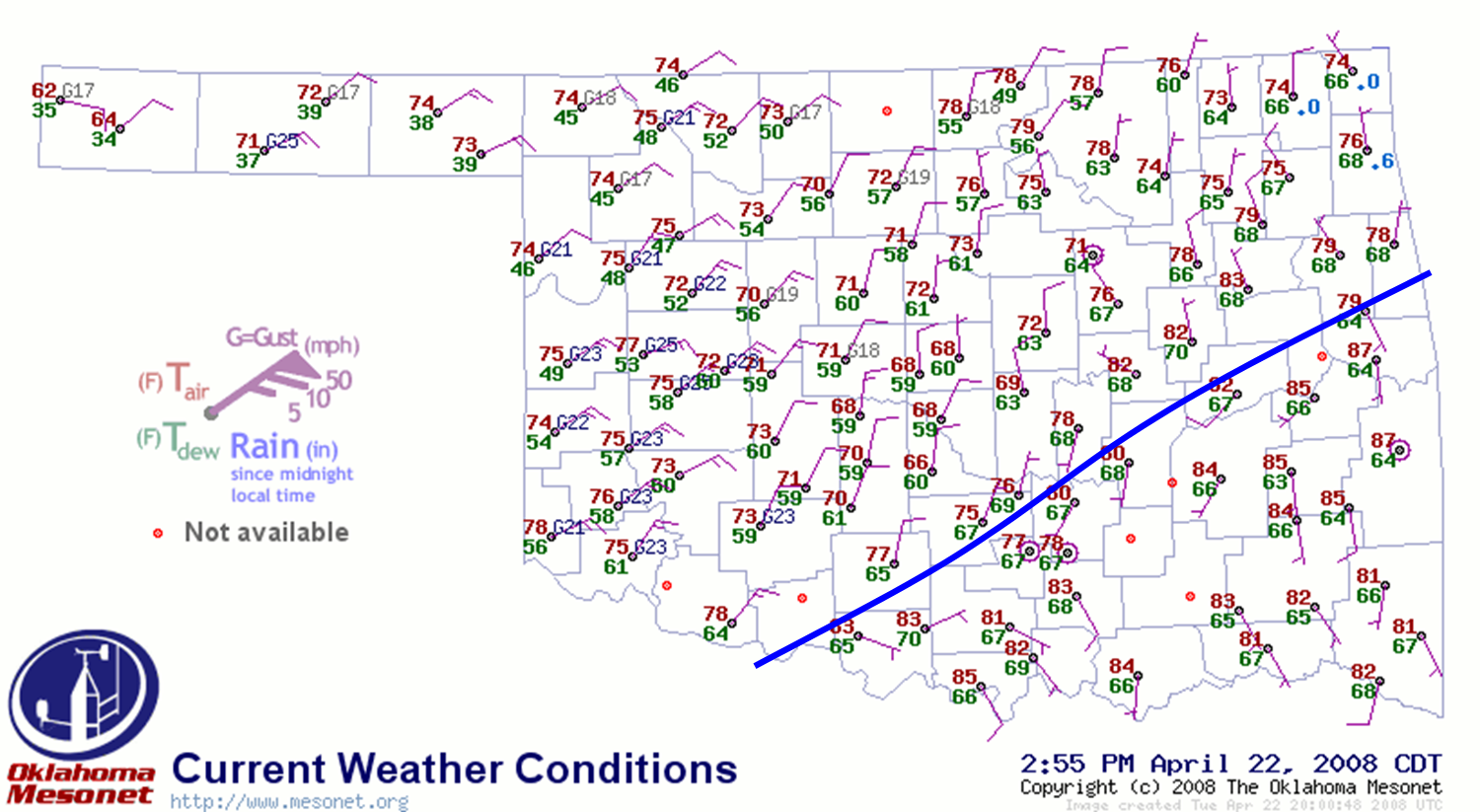
Looks like mainly a severe hail event for the southeastern 1/3 of Oklahoma. A cold front moved through Norman this morning, and has stalled about 40 miles to the southeast of Norman.

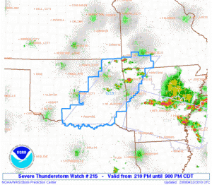
Already at 3pm CDT, a severe thunderstorm watch has been issued for the warm sector. Low-level and deep-layer shear is marginal today, but there will be plenty of instability today with CAPE approaching 4000 J/kg in the warm sector this afternoon. Therefore, severe hail is the primary concern today.

We plan to operate the PAR and gridded warning experiments today. The PAR data collection will not be restricted to an IOP. However, we will concentrate our gridded warning IOP to 5-9pm. Before then, there are a number of gridded warning issues we need to take care of, including testing the archive case to get it ready for forecaster training. There are also some software fixes to the simulation time sync issues that may be ready today for testing, and we need to hammer on those, probably concentrating on only one or two storms at a time.

Greg Stumpf (EWP Weekly Coordinator, 21-25 April)

Tags: None

Outlook – 21 April 2008

This is the first day of operations during our shakedown week. Because we don’t have any visiting forecasters this week, and we are still prepping the various systems for next week, we are going to attempt to run all three experiments today. Normally, the gridded probabilistic warning experiment would not run if there were Central Oklahoma storms affecting the PAR and CASA domains.

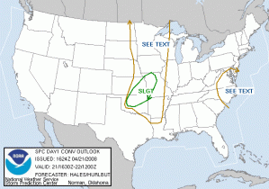
Looking at the 1630 SPC DY1 outlook, there is one SLGT RISK area, but two different regimes, north versus south. Basically, the southern part of the risk area is highly conditional as there is a very strong cap over Oklahoma. A dryline/cold front triple point has set up near Elk City, and there could be enough convergence to overcome the capping inversion. If storms develop, they have the potential to be high-end hailers for several hours. There is also a small chance for tornadoes, however, the shear isn’t the best. Mesoscale accidents might be the rule to squeeze out a tube or two. The northern part of the SLGT RISK area is more likely to see convective initiation before 02 UTC.

So, for today, we intend to start our Intensive Operations Period (IOP) at 5pm. The gridded warning experiment will focus on the areas E-KS and W-MO, but because this is a shakedown week, our domain may “float”. If storms develop in Oklahoma, we will initiate PAR and CASA operations as well, and possibly move the gridded warning operations to the same domain. If this event were to happen during a non-shakedown week, gridded warning operations would cease as PAR and CASA operations would begin, provided the cap breaks.

From 2-5pm, we continue to test systems and get things ready. If this were a non-shakedown week, this time would be spent training visiting forecasters on the systems and running archive case playback.

Greg Stumpf (EWP Weekly Coordinator, 21-25 April 2008)

Tags: None