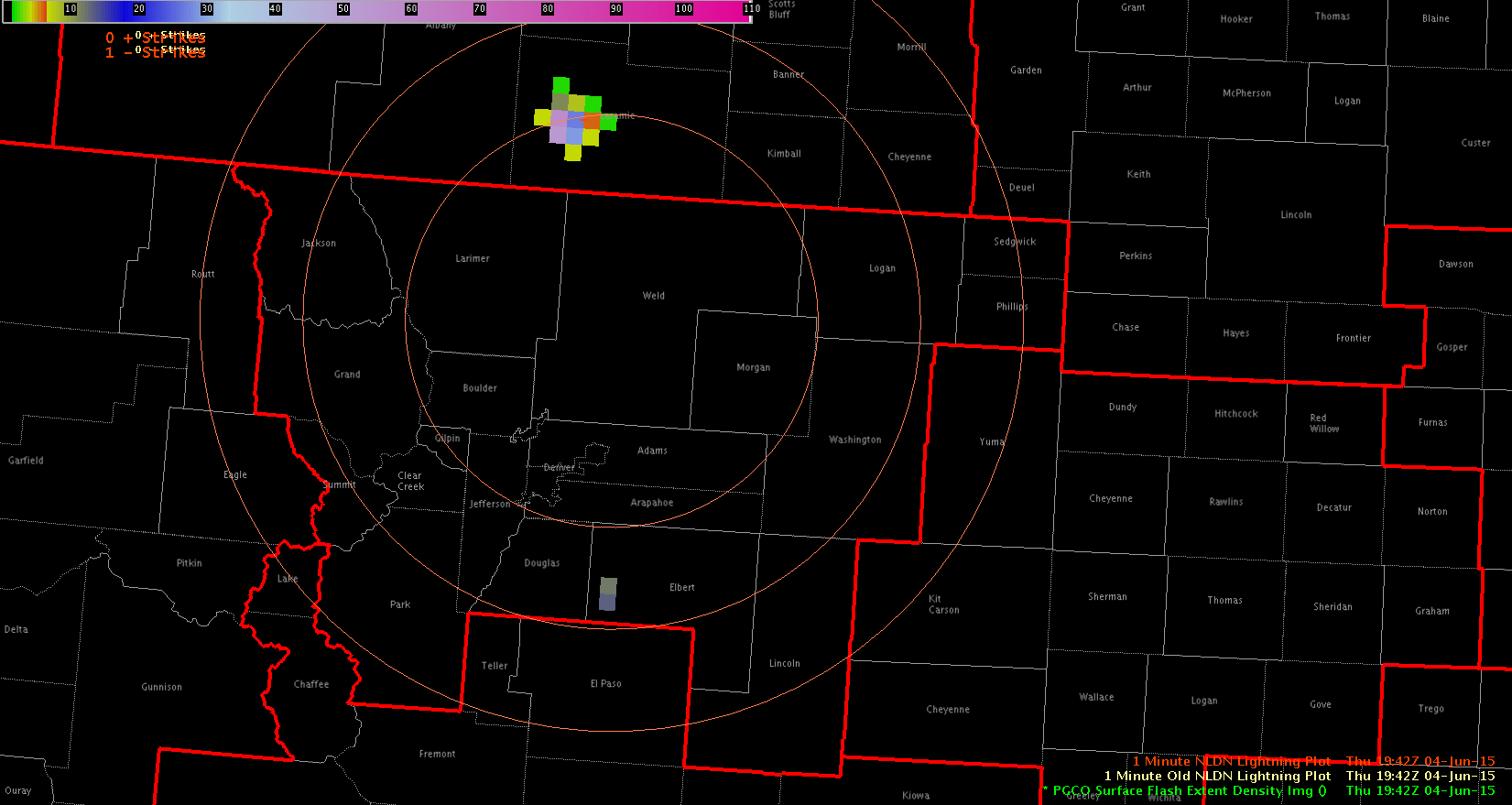
When comparing the default, LMA1 and LMA2 color tables for viewing the PGLM lightning data, I found that I don’t really like any of them. All three images below show the PGLM data at 1942Z using the various color table options. The highest pixels (58 & 53) in the northern storm show up as the the gray/green colored pixels which are in the center of the default color curve. I would have assumed that the bolder blue hues would have been the higher values in this case, which is why I don’t care for the default color table. For the same reason, I don’t like LMA1 or LMA2 either. Improving the color table will be important moving forward with this product.
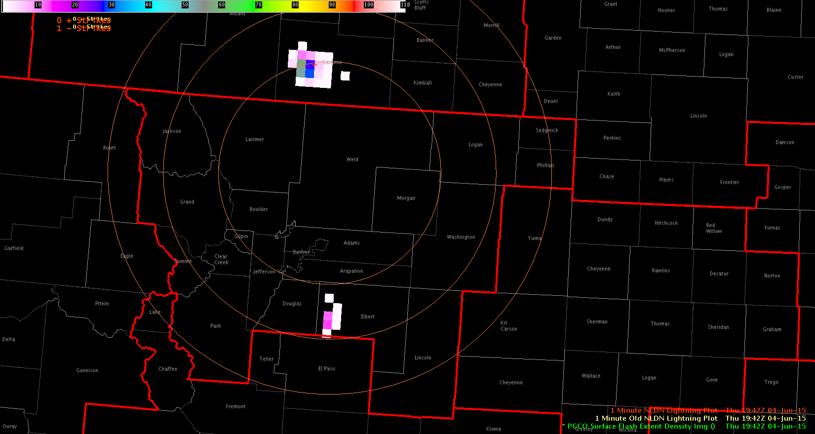 Default
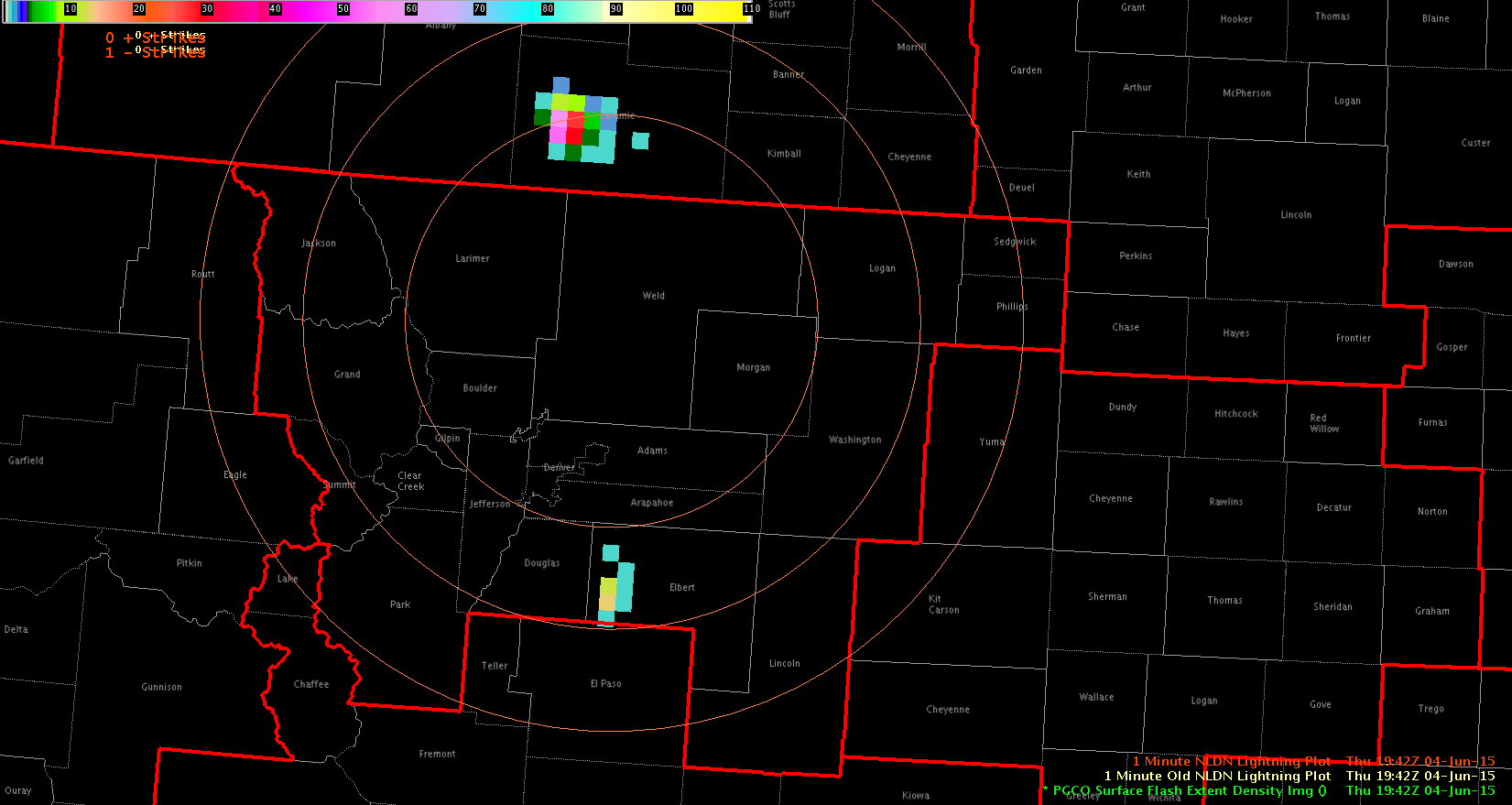 LMA1
LMA1
 LMA2
LMA2
-Helen Hunt