Thursday Tropical Case

I find myself often lowering object filter to 0% to see every object. I can quickly flip through and triage this way, and also the higher probability show up as thicker circles anyway.
-dryadiabat


Using prob trend graphics to see upward trend in rotation. Going for lead time with the Tornado Warning based on persistence and trends.

-dryadiabat


Watching an area of deeper rotation immediately east of the radar site that does not currently have a TORP object. I was surprised to see it does not, even with object filtering at 0%.


-dryadiabat

UPDATE: It appeared with a history trend, but was absent from the display for a total of 11 minutes in PHI.


Explored the direction trend option and saw small changes. I thought this would be a good case to test its usefulness since storms weren’t deviant but changed path gradually with time given the larger scale circulation. If the degree range were narrowed, this would stand out more. Just a suggestion.


-dryadiabat

Tags: None

Wednesday Real Time

The future torp probabilities here do not match my conceptual model given the current probability of 78%. I would think probabilities would remain high in the near term, and then possibly steadily decrease later on. Here, they decrease through 10 min and then increase again at 15 min. Not sure why.

The above two screenshots were taken one scan apart. In the time series, the probabilities remain high, but the red torp circle drops off from the screen as if the torp probabilities rapidly tanked.

Not that it was really needed, but divshear did show a strong signal with this TDS confirmed tornado.

Tags: None

Wednesday Afternoon OHX

Not much time to blog, but overall thoughts are I find myself defaulting to TORP and prob trends the most. Did notice a strong divergence signature in velocity and here is how it showed up in DivShear.

-dryadiabat


I issued a Tornado warning based on a sudden spike in TORP via KHPX, which contrasted with lower TORP values on KOHX. The history is short, too. It’s broad but strong and increasingly cyclonic-convergent. I might’ve held off without TORP but we’ll see what happens. 88% to start and now up to 94%. Of note, the velocity pattern was way less concerning on KOHX, and again TORP from OHX was relatively much lower.

-dryadiabat

Tags: None

TORP objects changing tracking number on same circulations on PAR data

Noticed TORP is having a hard time keeping the same tracking number on the same circulation in PAR. There was a storm where there was a consistent weak circulation and TORP should have been able to keep the same tracking number the whole way. Attached are two screenshots that are one scan right after the other (1 min difference). To a human the same circulation can easily be seen, but TORP assigns a new tracking number. The KTLX TORP on the same storm was able to keep the same tracking number. This in turn changes the history trend graphs and made it more difficult to follow.


-Gary

Tags: None

Oklahoma Case on Wednesday

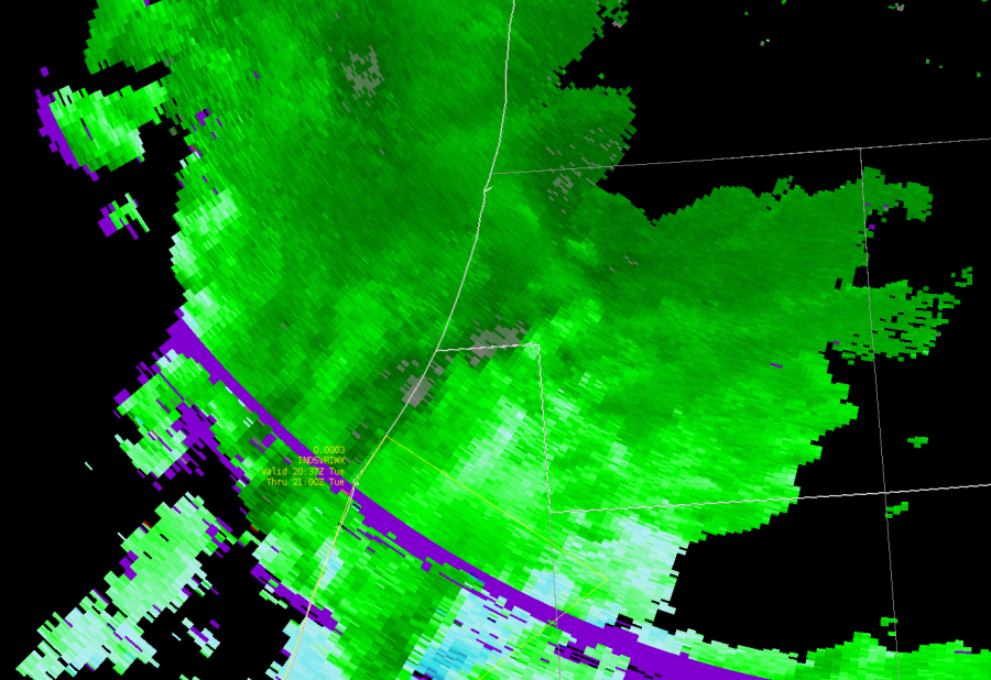
Quick initial thoughts on the mesoscale environment with limited data to analyze. Satellite shows residual PBL stability present with billow clouds immediately ahead of the convection that has developed, likely tied to residual capping EML. However, surface heating is resulting in steep low level lapse rates below this although midlevel lapse rates are poor at the moment, they should steepen and large scale ascent should begin to help lift/erode the cap soon. As we crest the peak of diurnal surface diabatic heating and enter early evening, the low-level jet should increase, just conceptually given upstream mid-latitude system over the central Rockies. I’m guessing (without model data) that as the trough approaches the hodographs should elongate in both the low and mid levels, resulting in greater shear values and more organized convective cells soon.

-dryadiabat


We noticed that there is a lot of “noise” in the velocity data from PAR. I think Charles mentioned this is due to a different dealiasing scheme relative to what we’re used to in the 88D. We don’t notice the noise in KTLX. This is impacting TORP, with values as high as 37% indicated on the back side of the storms associated with this signal, that clearly is false. Analysis of PAR and 88D data and conceptual models from storm structure give us confidence these probabilities are far too high and there’s no immediate tornado threat.

-dryadiabat


Quick note to say in the early stages of storm development, AzShear and DivShear seem noisy and not adding a lot of value without more clear mesocyclones and storm-scale velocity features. I’m sure that will change as the case evolves.

-dryadiabat


Continued jumping around of TORP objects chasing the bad data quality velocity due to the dealiasing strategy (re: post above). Meanwhile, we’re monitoring trends in intensity and character of the midlevel mesocyclones which are more steady using base data analysis to understand storm organization and as an indication of tornado protential trends.

-dryadiabat


I’m not sure I could’ve identified storm top divergence with DivShear along if just looking at that product without looking at velocity. In velocity it’s fairly clear although only a small area of outbounds, whereas in DivShear is more noisy. With time, I’m sure I could learn to pick this signature out more easily in DivShear, but for now it seems relatively difficult for me.

Also, another limitation is sometimes the (-) and (+) components are separated by one elevation, and not on the same scan, so it may not be as apparent using DivShear as compared to just standard base velocity.

-dryadiabat


Highest TORP probs of the day so far in northern Grady County seem to be associated with a storm that has anticyclonic rotation. But this may be more associated with noisy velocity data since TORP isn’t set to detect anticyclonic rotation, if I understand correctly.  Unsure what to make of this. Top image is PAR, bottom image is KTLX (slightly higher tilt).

-dryadiabat


Really liking the temporal resolution of PAR, especially trying to analyze/assess the northern Grady County supercell which displayed some weak low-level rotation embedded within the front flank of the cell to its south. Evolution on rotation magnitude and width were more easily seen in PAR than KTLX, even with SAILS3 enabled.

This has made the Prob trend graphics more complete and useful too (see below):

-dryadiabat


TORP probs increased from 38% to 63% as the tornado report came in and about the time the Tornado Warning decision was made. It peaked at 79% when Vrot was strongest, but as Vrot decreased TORP values fell quickly, despite likely tornado still ongoing given character of the velocity couplet. Probs dropped completely and the TORP object disappeared at 0007z despite weak couplet still present. Tornado threat seemed to completely end shortly after, but perhaps persisted a minute or two longer after TORP dropped.

-dryadiabat


Unsure if it’s just the color tables or other factors but the AzShear seems more useful in PAR than in the WSR-88D.

-dryadiabat


Noisy velocity not associated with tornadic rotation has 38% prob.

-dryadiabat


The “one more scan” dilemma is easier with the rapid updates of PAR. Rather than waiting for a new full volume of data, or even another SAILS cut, we have quicker updates to see the evolution of the RFD.

-dryadiabat


Noticed 87% TORP but there is some bad velocity quality within the TORP circle separate from the weak couplet that I’m wondering if may be contributing to these probabilities, since the couplet is fairly weak. It is tight though so that may be the primary impetus for the higher probabilities.

-dryadiabat


Also noticed higher (+) velocity on the north side of the circulation in KTLX compared to PAR. KTLX at the top, and PAR at the bottom below.

-dryadiabat


Stronger couplet and better AzShear and DivShear signal noted simultaneously.

-dryadiabat


~30 knot Vrot in central McClain County on KTLX. Stronger inbound maxima noticed on PAR too. Probs on TORP seem to be holding in mid-range a little more than I would’ve expected. 55% peak so far.

-dryadiabat


Tags: None

Sidelobe, Confirmed TOR, & Product Responses

This storm started with what appears to be side lobe  contamination. TORP did identify this feature and put out low probabilities. I can see this as a positive since it does keep probabilities relatively low for sidelobe. Curious to see how it would react if the sidelobe contamination appeared stronger?

As the storm progressed, a well defined meso formed over southern Michigan. TORP recognized this relatively quickly and began putting out 70-80% probabilities.

A CC drop was noted at 2119Z for this storm. Here is the Az and Div shear values at that time. Overall, not a great response for a confirmed tornado.

-FujitaReno

Tags: None

Bill Lumbergh — 5/7/2024 Afternoon Live

Starting off as WFO IWX

Az Shear steadily increased in Berrien County, Michigan around 2010z but did not get a TORP object. Increasing AzShear in close vicinity to the warm front prompted the SVR issuance.

Interesting how “nothing” convection over the lake gets the TORP probs, but the supercell in Berrien County with strong AzShear does not. (see below)

Example below of ground clutter high V values giving bad AzShear and DivShear data

One side note: Noticed it is harder to look for SVR wind and hail because TOPR, AzShear, and DivShear has me looking at the tornado threat more than anything else. Wondering, if products like this in future go operational, if you need to seperate tornado warning operator from a wind/hail one for the work load…

Below, TORP went way up to 57% as this got close to the warm front, div shear went up. Still waiting to see how Az Shear responds, and then SRM for Vrot

AzShear goes up, crosses the warm front, start to see Vrot organize, TORP comes in at 57%, tornado warning issued.

Storm fell apart, looks like cold pool ejected from forward flank, SRM never tightened up with respect to Vrot, TORP probs also dropped


Still no confirmed no tornado. Looked like it was dying, then took a right turn. GRR TORP remained high as the 0.5 deg scan was getting the persistent mid-level meso. IWX radar was up and down as the 0.5 low-level meso was “sloppy”. However, a right turn and potential cell merger with GRR TORP still high, decided to reissued downstream with a tornado warning.

Tags: None

LOT/GRR Real Time Case

KIWX has spurious outbounds behind the higher reflectivity that do not appear to be associated with organized storm-scale rotation, given it’s placement and also very high spectrum width. 33% prob TORP seems to be associated with this artifact. 


-dryadiabat


Noticed that two TORPs along the leading edge of the line jumped to a common circulation but did not merge. One was from KMKX and the other was from KLOT. Ideally, these would have merged and the TORP from the closest range radar would have taken over.

UPDATE: Found “Display Overlapping Options” filtering option, which when turned off shows objects from all radars. Curious how this filtering decides which to display when turned on? Higher probability? Closer range? Longest track duration?

-dryadiabat


Although insignificant and not worthy of a Tornado Warning at this time, it’s noteworthy that TORP did call my attention to an area of a storm cluster where I would not have heavily interrogated the velocity. Rotation is weak but is present and TORP flagged this, calling my attention to it. This demonstrates at the very least the situational awareness utility of TORP.  Noticed this in AvShear, too.

-dryadiabat


The difference in the rotation between KGRR and KIWX doesn’t seem to necessitate that difference in probabilities for the objects associated with each radar. 48% vs 90%. Upon going back to look at this again, I only see GRR and not IWX. So filtering must have purged IWX, although in real time they were both visible. 

Tags: None

Tuesday Practice Case

A sudden yet steady increase in DivShear helped lead to an earlier lead time on a tornado warning when rotation in velocity was apparent but still generally weak.

AzShear was medium leading up to the tornado reports and only jumped up after reports started coming in around 12:20z.

Spectrum width, which I would generally rely more on in the absence of these new tools, had a general positive trend through this period, but plateaued in the minutes leading up to the tornado reports.

The absolute maximum of velocity trend was low leading up to the tornado reports and only suddenly increase afterwords. Essentially, just relying on strong rotational velocities in this case would have resulted in no lead time for the initial reports.

TORP, while sometimes slow to update in AWIPS compared to the online tool, helped highlight an area of weak vrot where a tornado was likely ongoing based on storm reports at the time. (If not a tornado, there were at least several TSTM WND DMG reports.

While TORP only remained around 50%, both AvShear and DivShear highlighted an area of strengthening rotation that may have been associated with a brief tornado, including a clover pattern present in the DivShear. Neither of these features prompted a tornado warning, but confirmed suspicions immediately after the warning was issued based on the velocity pattern.

Tags: None

TORP does a good job tracking QLCS meso and possible tornado

TORP does a good job here of identifying a developing QLCS meso and tracks it well as it gradually tightens, with a TORP max of 56% occurring at the time the circulation is strongest and a tornado possibly occurring. TORP was a high as 50% several scans before the circulation was strongest, which could have been an indication that it was an object to keep an eye on, though probabilities drop to <30% for the following two scans before the  eventual spike to 56% and possible tornado.

The object in question is the southernmost one that begins east of Heflin and tracks through Dumfries.

– Mr. Peanut

Tags: None