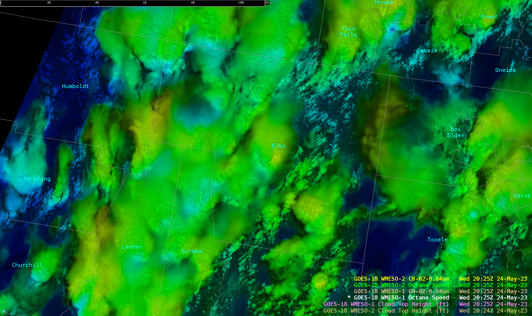
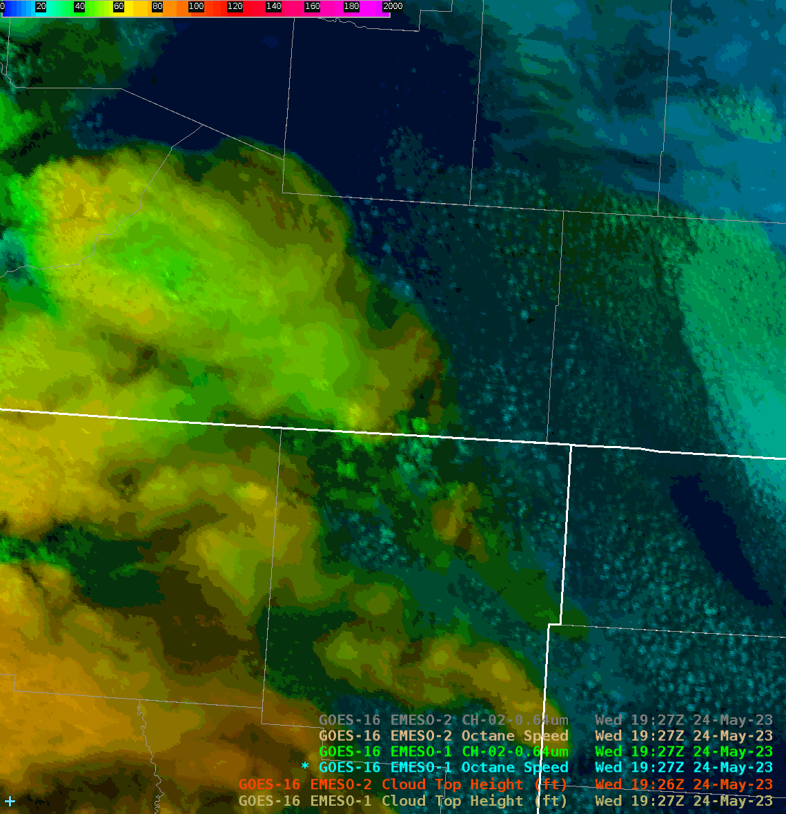
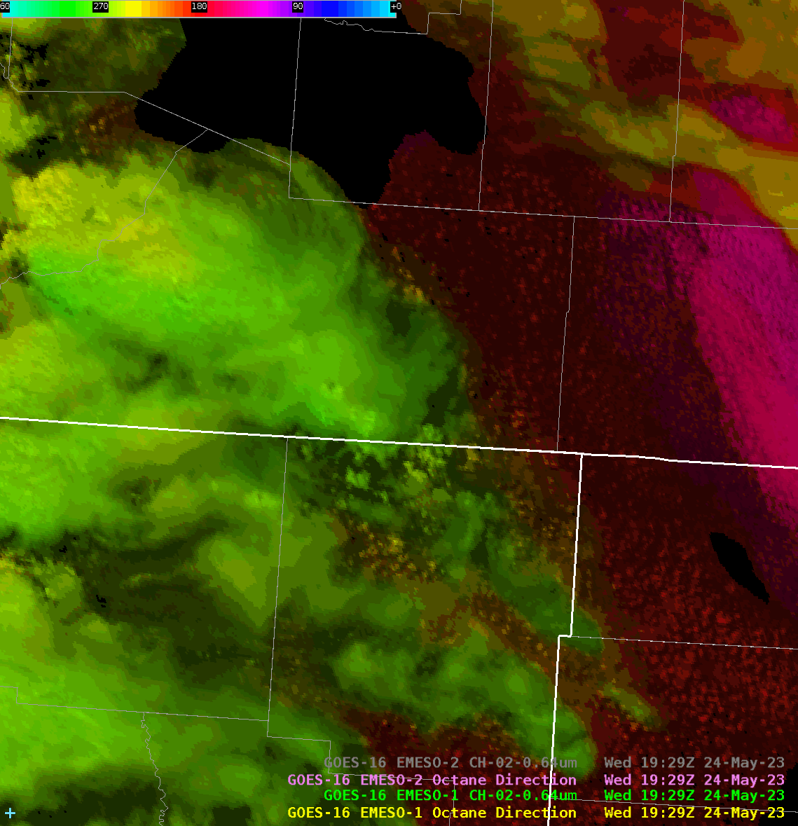
As thunderstorms continued to mature through the afternoon, the Octane speed sandwich continued to highlight an increase in downwind velocities from an isolated supercell across central Elko County. In tandem with the increased downwind velocities, a minimum in velocities occurred on the opposing upwind side of the strengthening supercell.
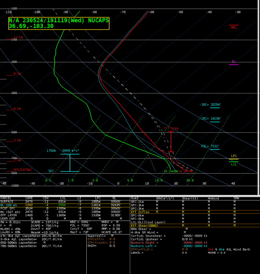
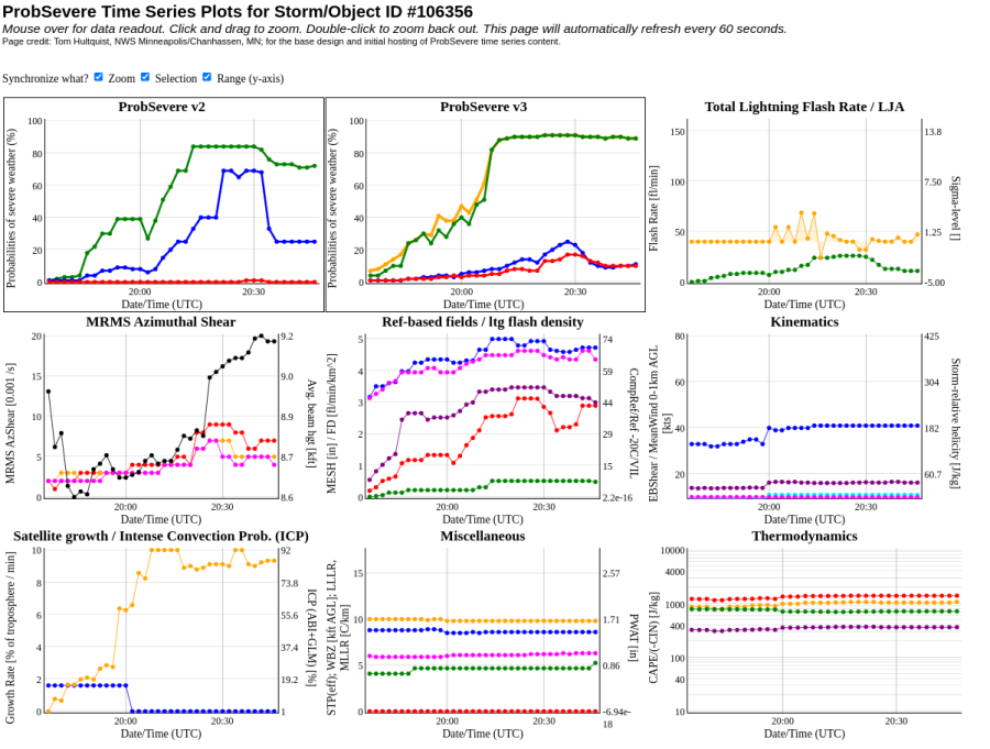
ProbSevere v3 highlighted the increasing trend in severe probabilities and in tandem with the Octane speed sandwich product, and solidified the decision to keep a severe thunderstorm warning in effect for the central Elko County supercell. Prob severe values were quite a bit higher with v3 compared to v2 (see details below). The decision to not issue a tornado warning was due to the high LCL values in the region (>1,800 m AGL), despite increased ProbTor values maxing out around 17% for this supercell.
Octane speed sandwich for severe-warned storm across central Elko County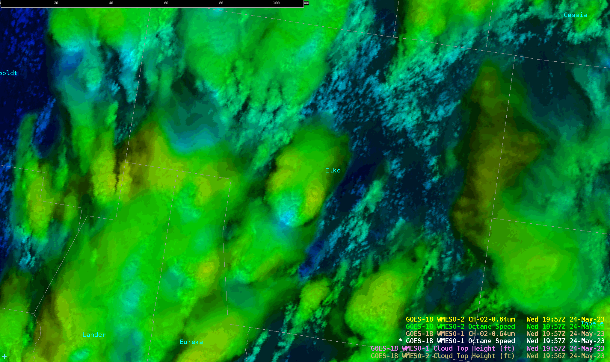 Prob Severe v3 at 2028Z for severe-warned supercell across central Elko County
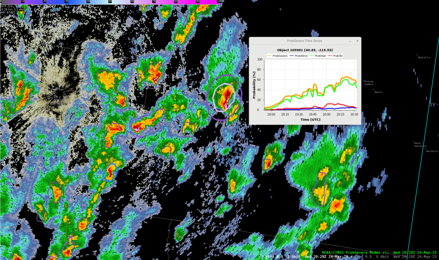
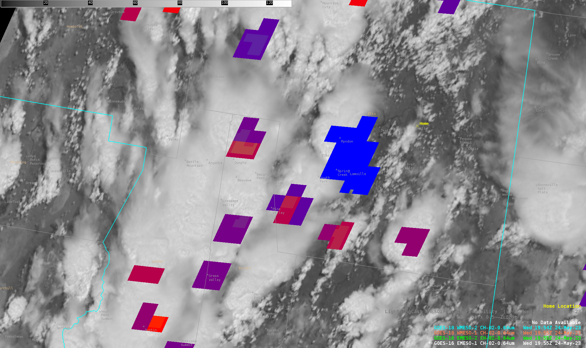
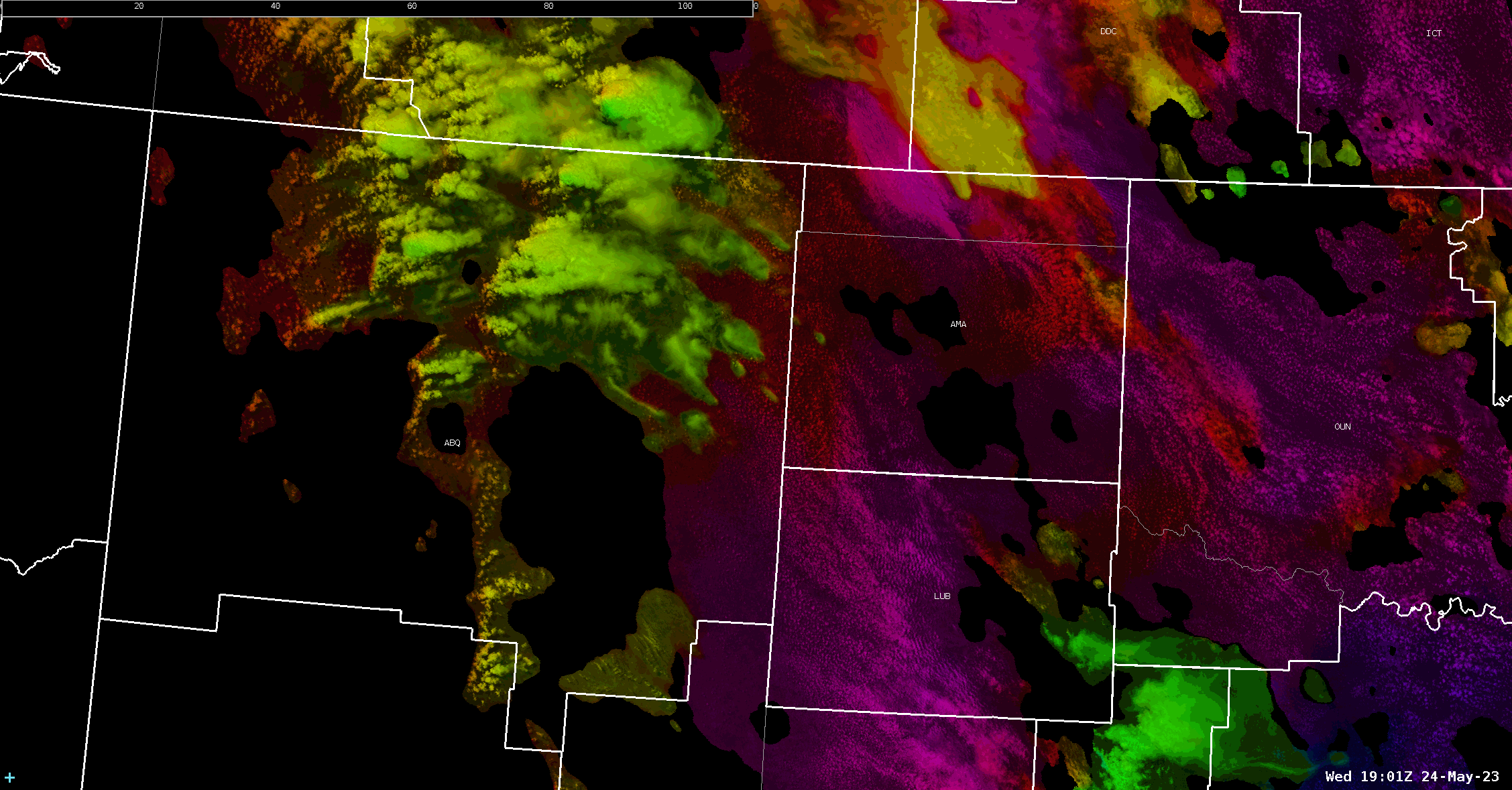
V-SRM-HC-SW at 2110Z for central Elko County severe-warned supercell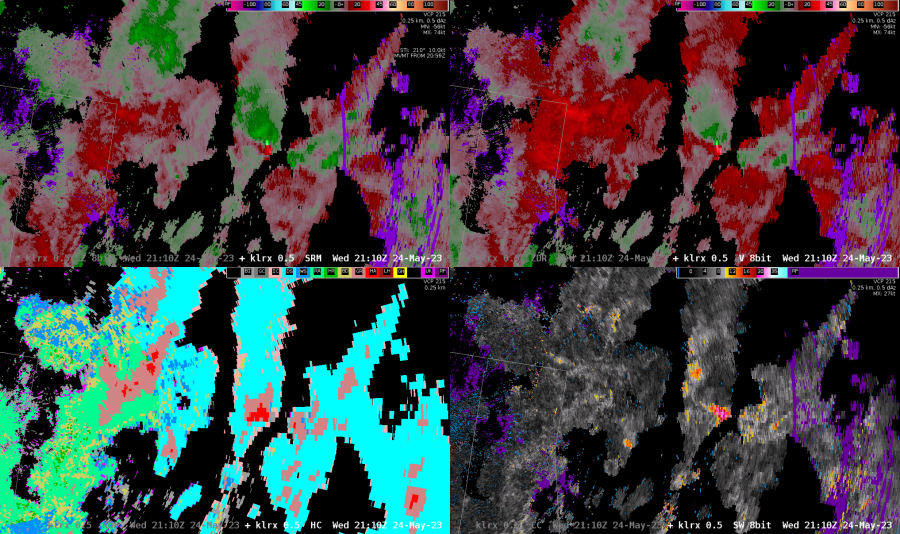
ProbSvr v3 at 2116Z for central Elko County severe-warned supercell – 82% v3 vs 37% v2 Probhail 73% v3 vs 30% v2; Probwind 14% v3 vs 42% v2; Probtor 17% v3 vs 2% v2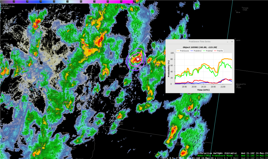

 .
. -Thunderstruck
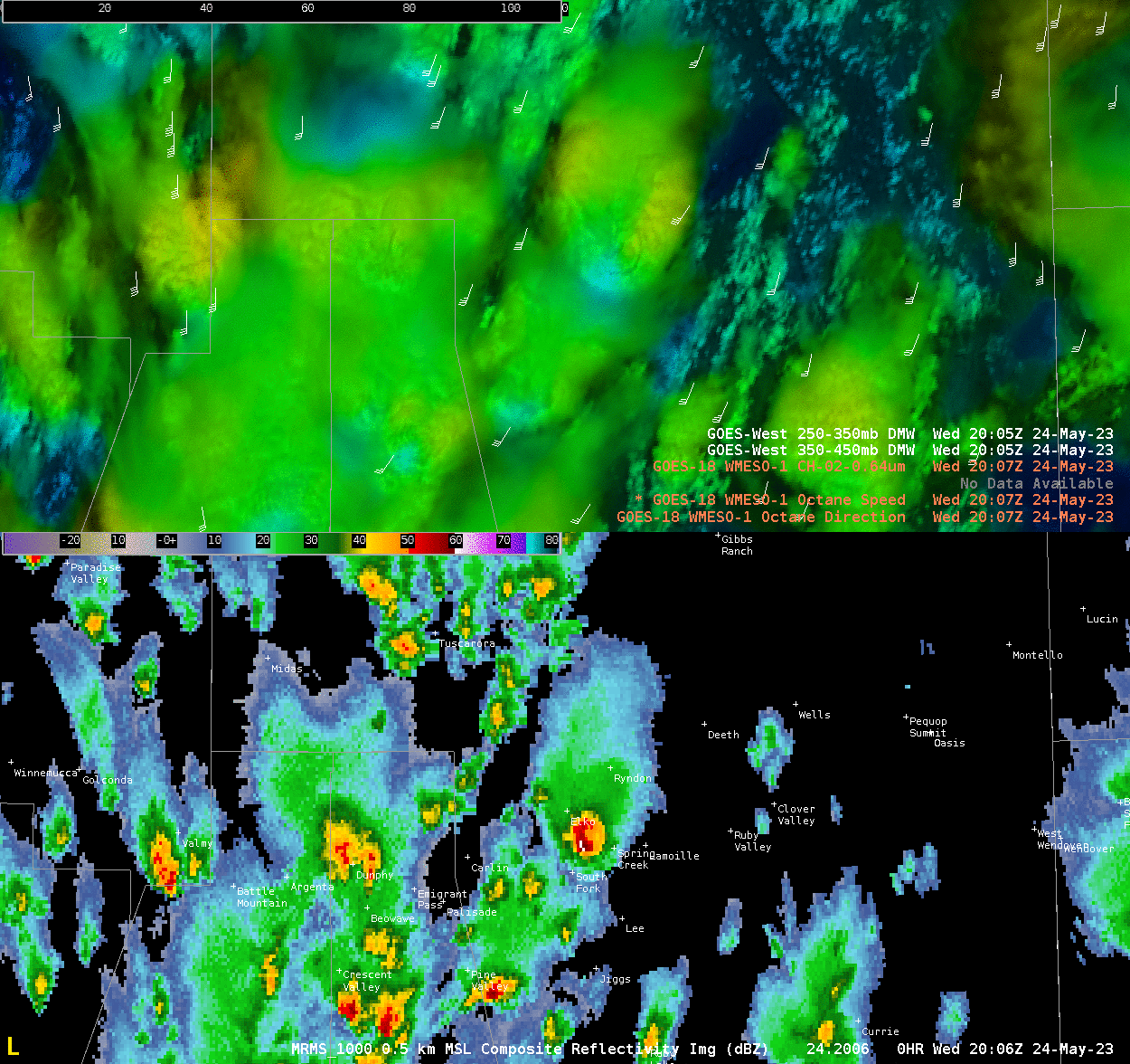
 -Thunderstruck
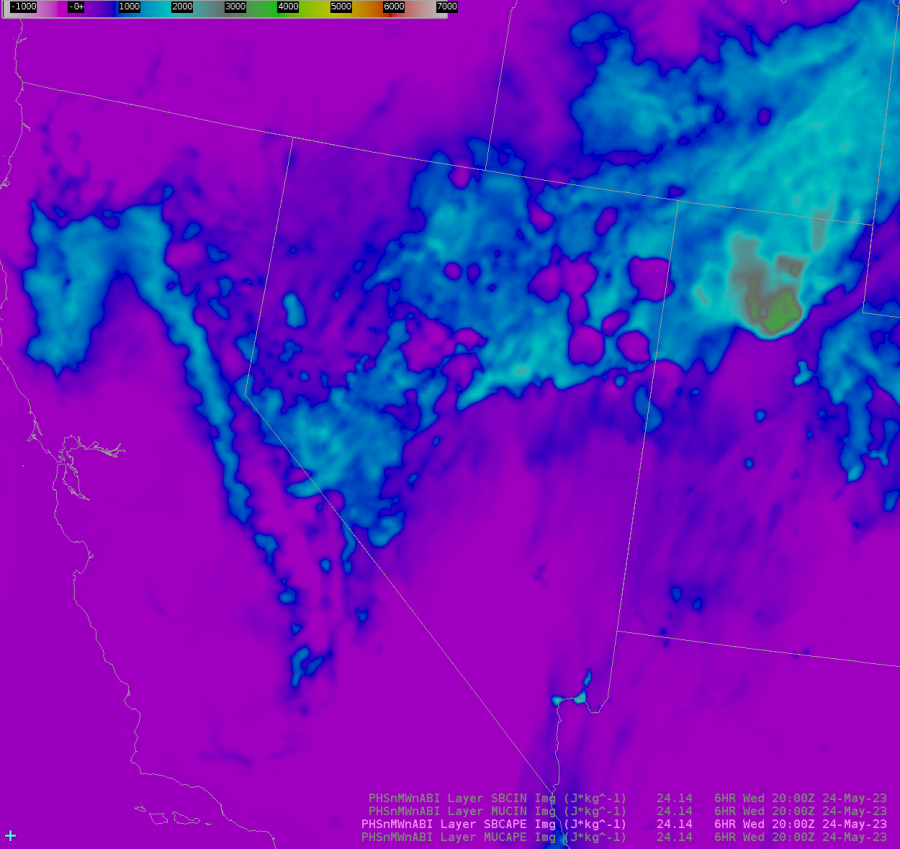
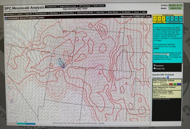
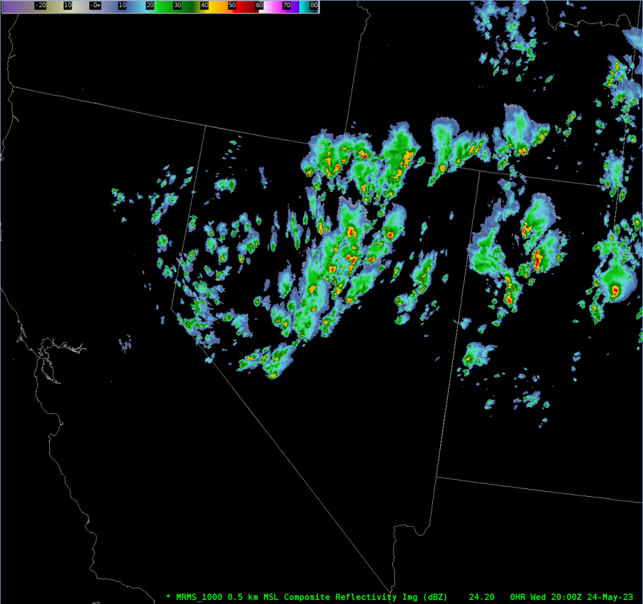
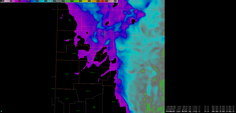
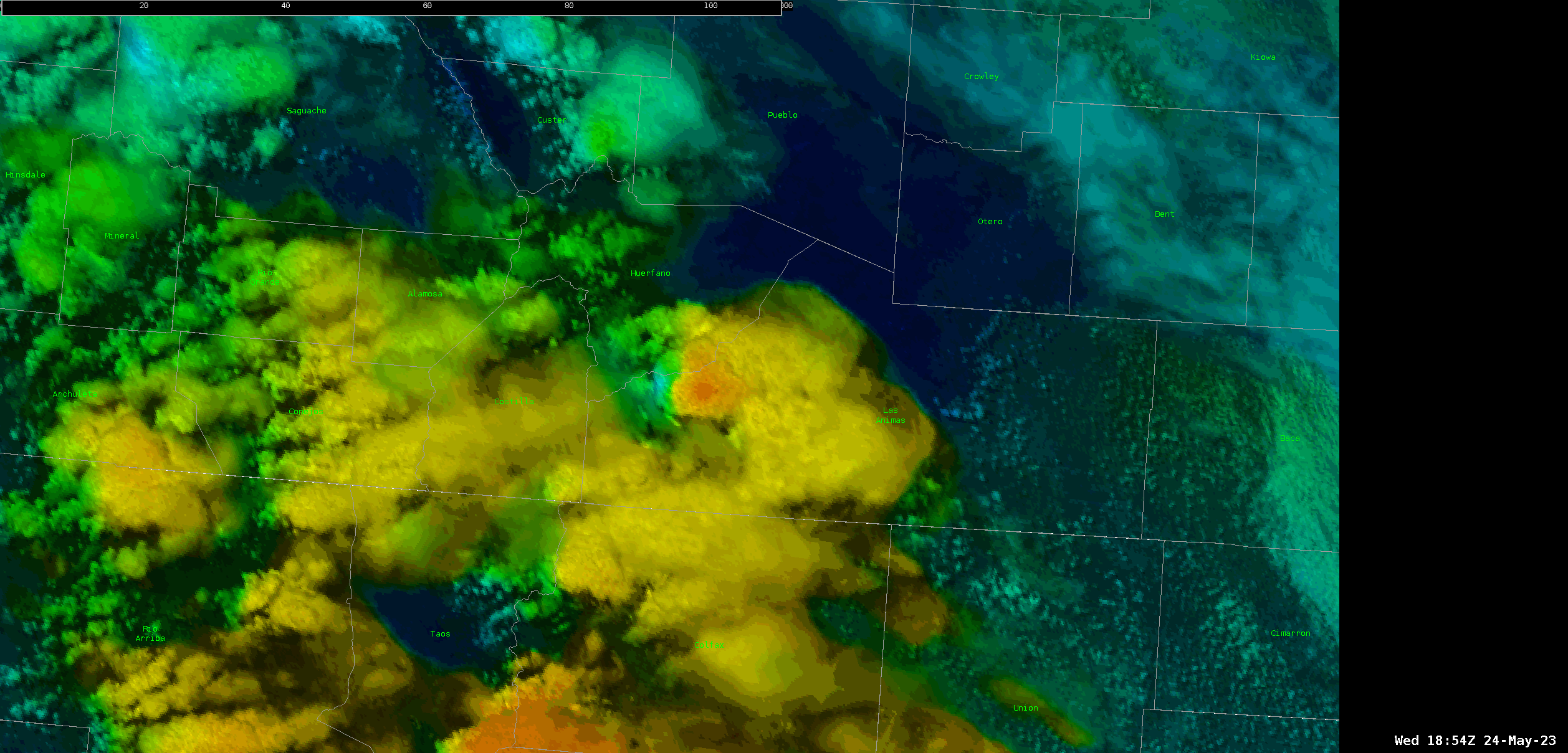
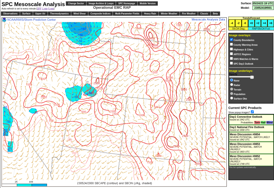 Remember, the PHS hinted at ongoing convection in some of these areas.