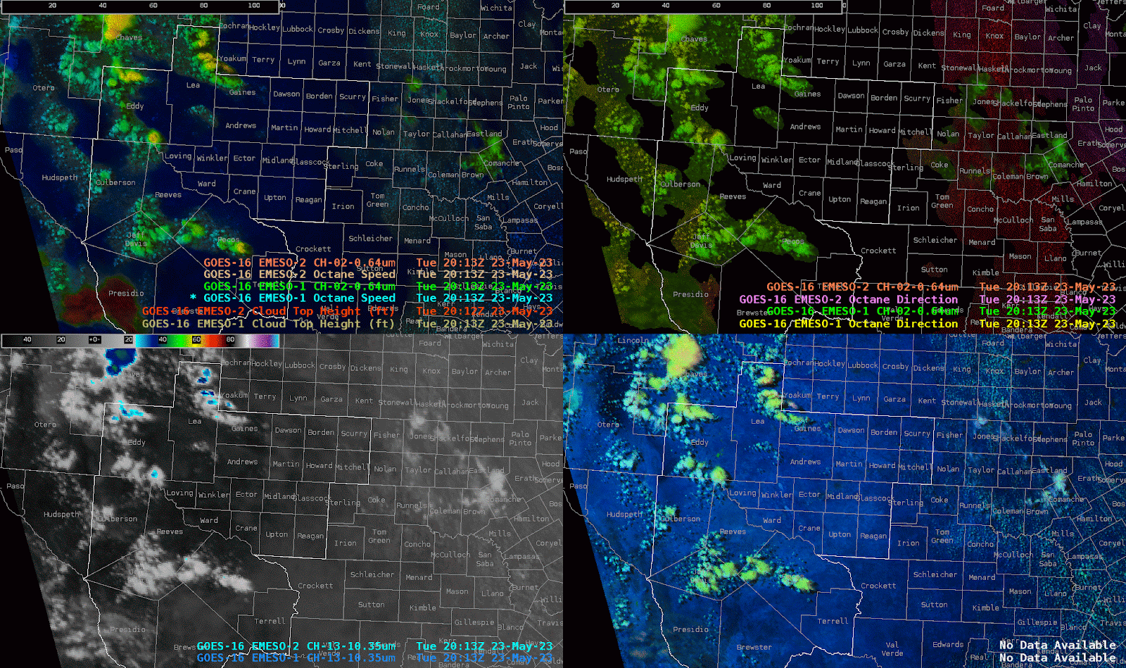
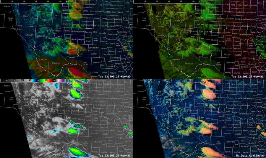
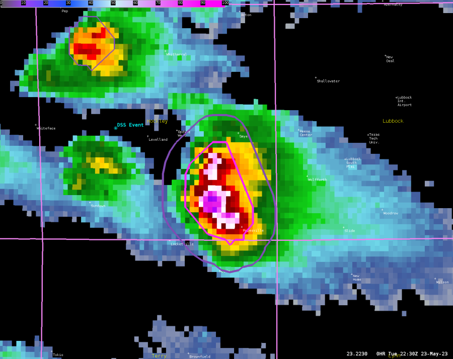
RGB Satellite Product Using Split Window Difference
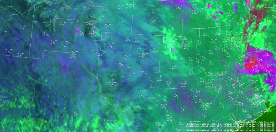

The quality of boundary layer moisture will be important to the severe convective threat across the MAF CWA today. Using the late morning split window difference field (within the RGB shown below), the greater moisture field can be found over northeastern portions of the CWA with the subtly greener shade of color. This color shade in the northeast generally overlaps with surface observations showing >60 F dew points. The color shade is more blue in central portions of the CWA where dew points drop into the upper 40s. While dew points are still lower in the southwest, there is a color shade difference where higher terrain exists (as well as greener vegetation). In this area early morning orographic convection had developed. By the mid afternoon, convection had developed near the moisture gradient in the south central portion of the CWA as well as near the northern moisture gradient along a surface low over the southwest New Mexico border.
PHS Analysis
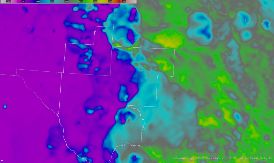
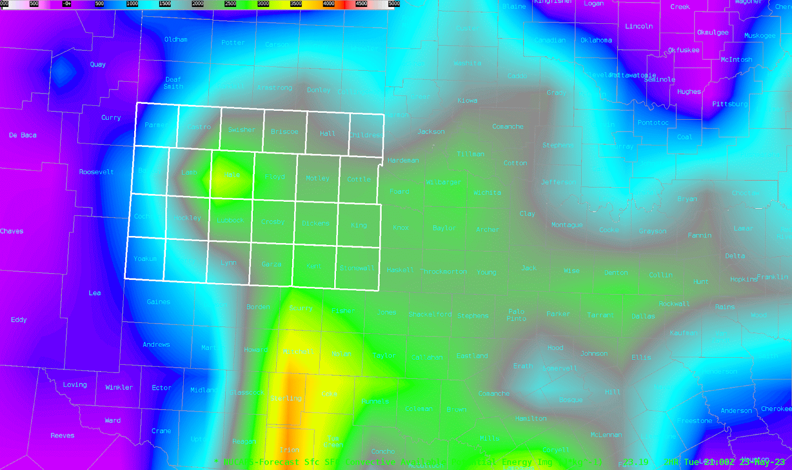
The PHS forecast product agreed with the overall moisture gradient, where greater dew points and lower LCL’s draped the northeast corner of the CWA. Subsequently, the PHS MUCAPE product showed greater instability within this corridor.
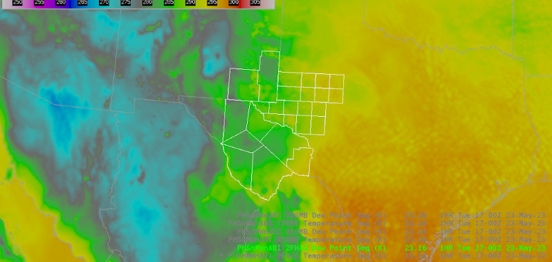
PHS Dew Point

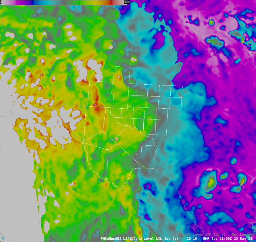
PHS LCL
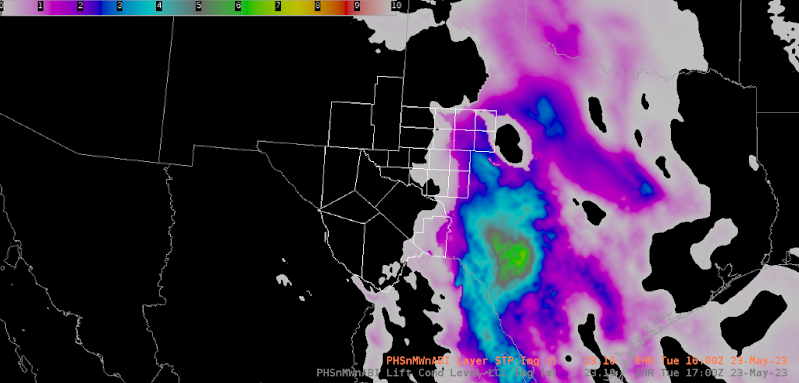
PHS MUCAPE

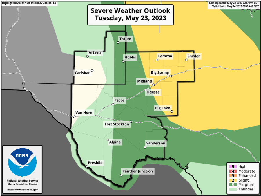
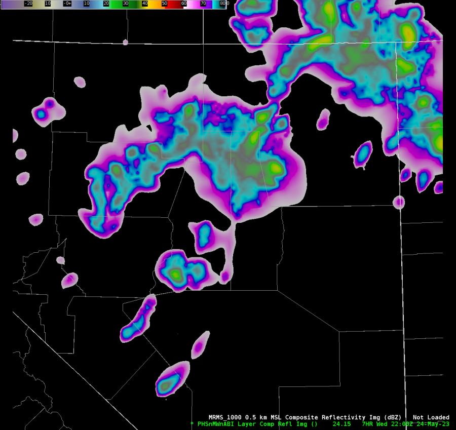
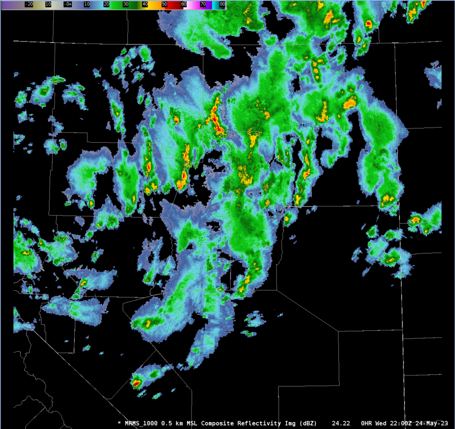
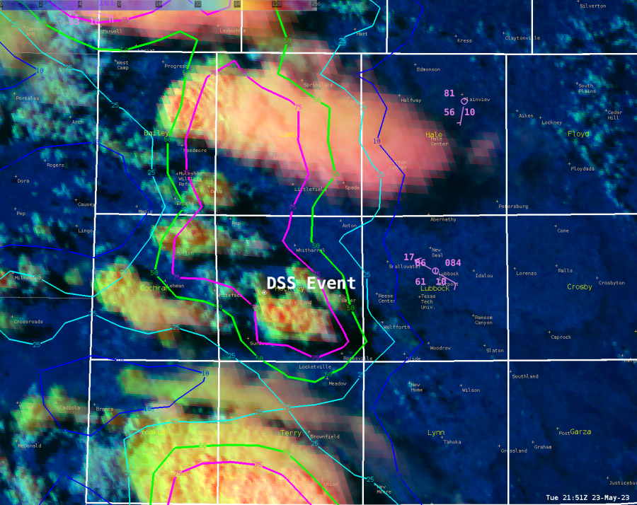
Even with these satellite based products analyzing the moisture content well before the convective threat later today, it lines up well with the forecast greatest severe threat from today’s SPC outlook (shown below), with the Slight risk favoring the northeast portion of the county.
– Joaq