Wed – Simulated Satellite

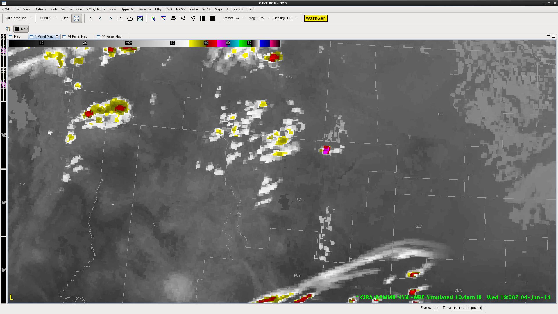
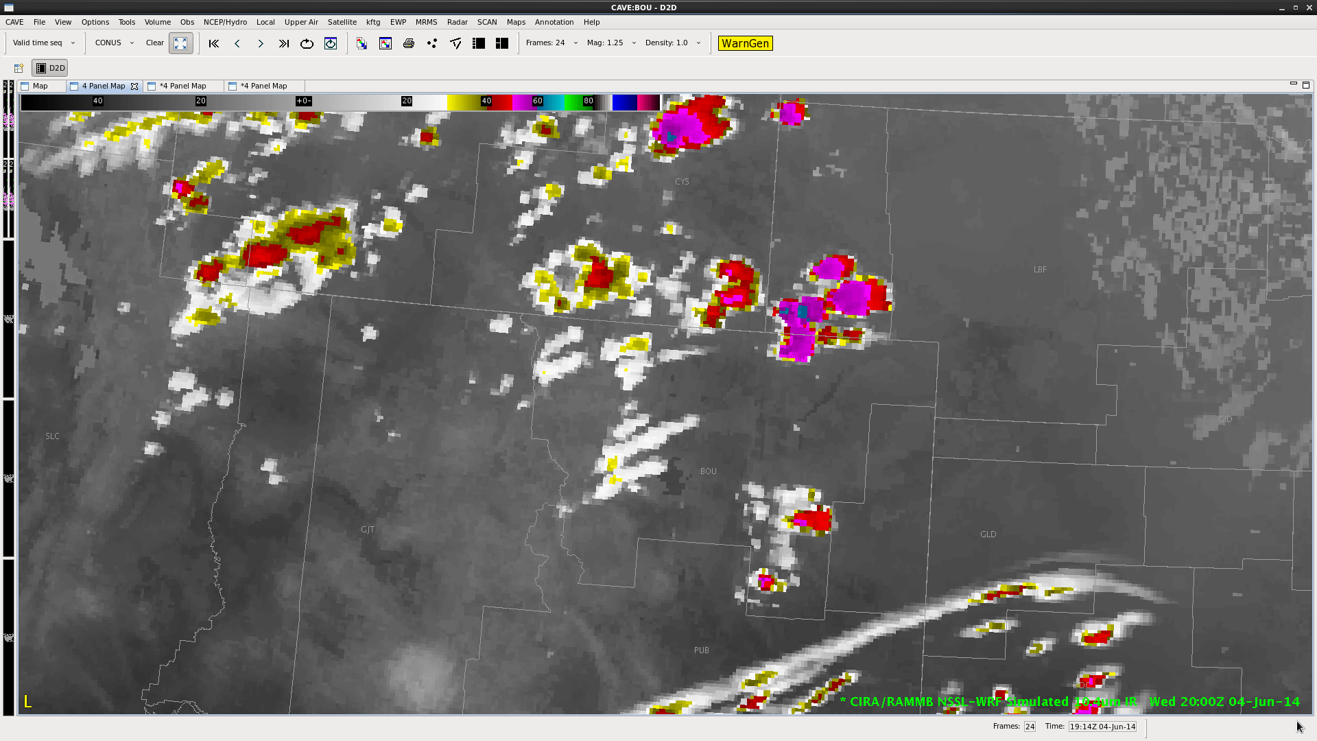
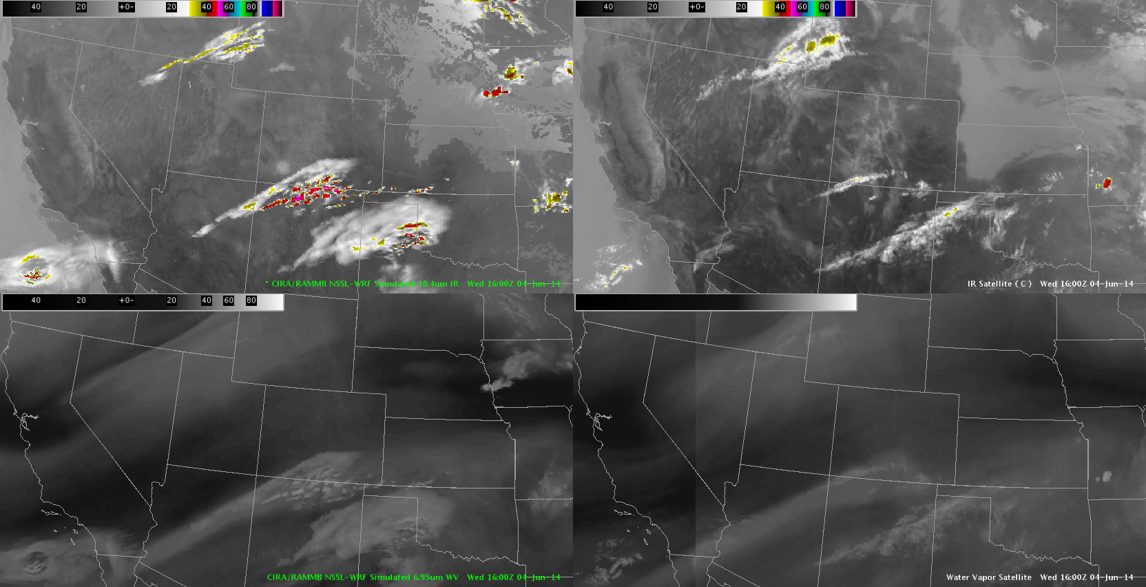
Started my analysis with a quick look at the simulated satellite products.  Both the IR/WV fields seem to have a relative handle on the large scale features.  However – the NSSL WRF appeared to develop vigorous CI around 18Z over central Indiana – which was not evident in the observed satellite data.

In this instance – the NSSL WRF could basically be discounted for at least the next couple hours.

SimulatedSatelite_Wed

Tags: None

nearcast wed over kentucky

nearcastwedYou can see the gaping hole over Kentucky in this nearcast analysis due to extensive cloud cover from earlier convection. Trends are pretty much impossible to detect at this time.

jca

Tags: None

An arguement for increased output frequency in WRF Simulated IR


The top two images show the change in forecast IR satellite output over the course of an hour. There is a good amount of enhancement during that time and, as shown in the third image at the bottom of the page, there are some enhanced cloud features with CI values in the 40-60 percent range. This would be a case (where convective initiation is likely within the hour) where having 15 minute WRF simulated IR imagery would be helpful.

060414_19Z_simSat 060414_20Z_simSat 060414_19Z_WRFsimSat_current_CI-KP

Tags: None

HWT Wed 4 June blog 1

synthetic sat comp

Notices on the NSSL WRF synthetic images that the model erodes low cloud over the high plains much to quickly. This seems to be more noticeable in KS and NB and it does a better job in the high plains of CO. Obviously this kind of error will induce spatial and temporal errors in the wrf forecast.

Kathleen and D Satterfeld

Tags: None

no warn – prob severe

nowarnThe storm highlighted had a decreasing trend in the prob severe category. It’s trend went from 35% to 11% in less then 20 min while storms just a county to the north had prob severe numbers over 90%. Based on this, we kept the newly issued SVR a county to the north.

jca

Tags: None

ProbSevere – Ongoing Convection

Have used the ProbSevere simply to analyze trends in ongoing convection.  It is a good “sanity check” simply to make sure all of the ongoing storms are warned.  I know the primary purpose was to examine initial development – but the readout provides a quick look at the relevant parameters.

Fowle

Tags: None

3 Body Scatter Spike 0058Z 4 June

3 body scatter spike on storm with very high prob severe and MRMS vil 3 grams/cubic M  OT Top detection also present. Confidence in severe is very high due to all of the above.

warned on storm near KBFFWe stopped warning in progress as 3 body spikes disappeared. but we should have gone with it earlier,

DSatterfield


Tags: None

prob severe trends helpful

probseverenohelpThe prob severe on this storm has only increased to 22% from 7% at this time. This is because of obscuring clouds. But, the trend of increasing MESH in conjunction with radar signatures convinced us to issue a SVR.

jca

Tags: None

no re-issue on a severe

canceledwarning2canceledwarning1We had a severe thunderstorm warning out for a large cell, but based on prob severe dropping from 97 to 44%, we allowed it to expire while TORs were issued for the front side of the same storm. It looks like the energy focused to the front side of the line where TORs looked more likely.

jca

Tags: None