On Monday, the first week of the 2013 Experimental Warning Program began. The visiting forecasters this week are Marc Austin (OUN), Hayden Frank (BOX), Jonathan Guseman (LUB), Nick Hampshire (FWD), Andrew Hatzos (ILN), and Jonathan Kurtz (OUN). After giving our guests a brief tour of the National Weather Center, Greg Stumpf (NSSL/MDL) gave an overview of the Experimental Warning Program. This was followed by a tutorial by Clark Payne (WDTB) for the Friday webinar.
After a brief break, we began work in the Hazardous Weather Testbed. The forecasters took a survey to test their existing knowledge of the Multi-Radar Multi-Sensor (MRMS) system. Shortly after, Jimmy Correia (CIMMS/SPC) of the Experimental Forecast Program delivered a forecast for the day. After a brief discussion, we began operations.
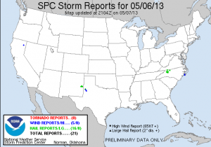
Severe parameters were limited, but a marginal severe threat existed in North Carolina, Virginia, and Kentucky. We asked the forecasters to use available products to hone down an operations area and to prepare a briefing. The consensus was that the Blacksburg, Virginia County Warning Area had the greatest threat of severe weather, so we began operations there.
While in Blacksburg, forecasters issued several severe thunderstorm warnings for marginally-severe hail. We received several verification reports, including reports of hail up to the size of nickels. After a couple hours of operations, Geoff Stano (NASA/SPORT) delivered a group tutorial on how to use a lightning trend product (developed by the University of Alabama-Huntsville group). After the conclusion of this tutorial, we took a break for dinner.
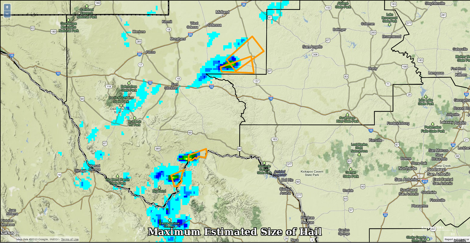
Upon our return, we split the forecasters between the Blacksburg , Viriginia and the Raleigh, North Carolina Weather Forecast Offices in order to avoid “warning collisions”. Unfortunately, the severe threat had diminished somewhat. Geoff Stano noticed that lightning was picking up close to the Lubbock CWA, so it was quickly decided that we localize to that WFO in order to take advantage. Unfortunately, though, storms began to dissipate as they approached the LUB CWA. After the conclusion of operations, the forecasters completed the daily survey and we finished for the day.
-Gabe Garfield, Week 1 Coordinator