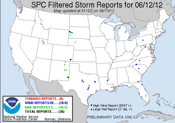
Today, we started operations in the Albuquerque (NM), Midland (TX), and Lubbock (TX) county warning areas. An early-morning mesoscale convective system left an outflow boundary over west Texas. While the atmosphere recovered in its wake during the afternoon, storms developed in the less-capped/higher-terrain to the north. In this convective episode, multicell clusters were the dominant mode, and the Albuquerque forecasters (Mike Dutton and Jeff Garmon) issued several warnings (a few hail reports were received).
In the Midland and Lubbock CWAs, the onset of convection was delayed, compared to the expectations derived from the OUN WRF and HRRR forecasts. As a result, the decision was made to move the Lubbock forecasters (Ty Judd and Tim Tinsley) to the Amarillo CWA to assess the 3DVAR products in storms that approached the area from Colorado. However, after only a short while, the storms decreased in intensity, prompting a move back to the Lubbock CWA.
By 6:30 p.m., convection developed in earnest in the southeastern portions of the Albuquerque CWA, promising to move toward the Midland and Lubbock CWAs. The Midland forecasters (Steve Nelson and Randy Skov) issued multiple severe warnings for multicells and supercells. The Lubbock forecasters issued a few warnings for left-movers that originated with the Midland convection.
-G. Garfield, Week 5 Coordinator

