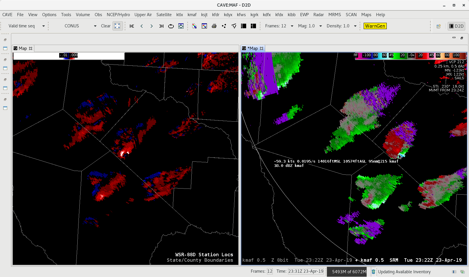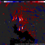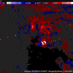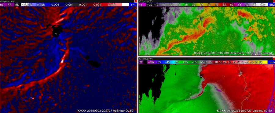
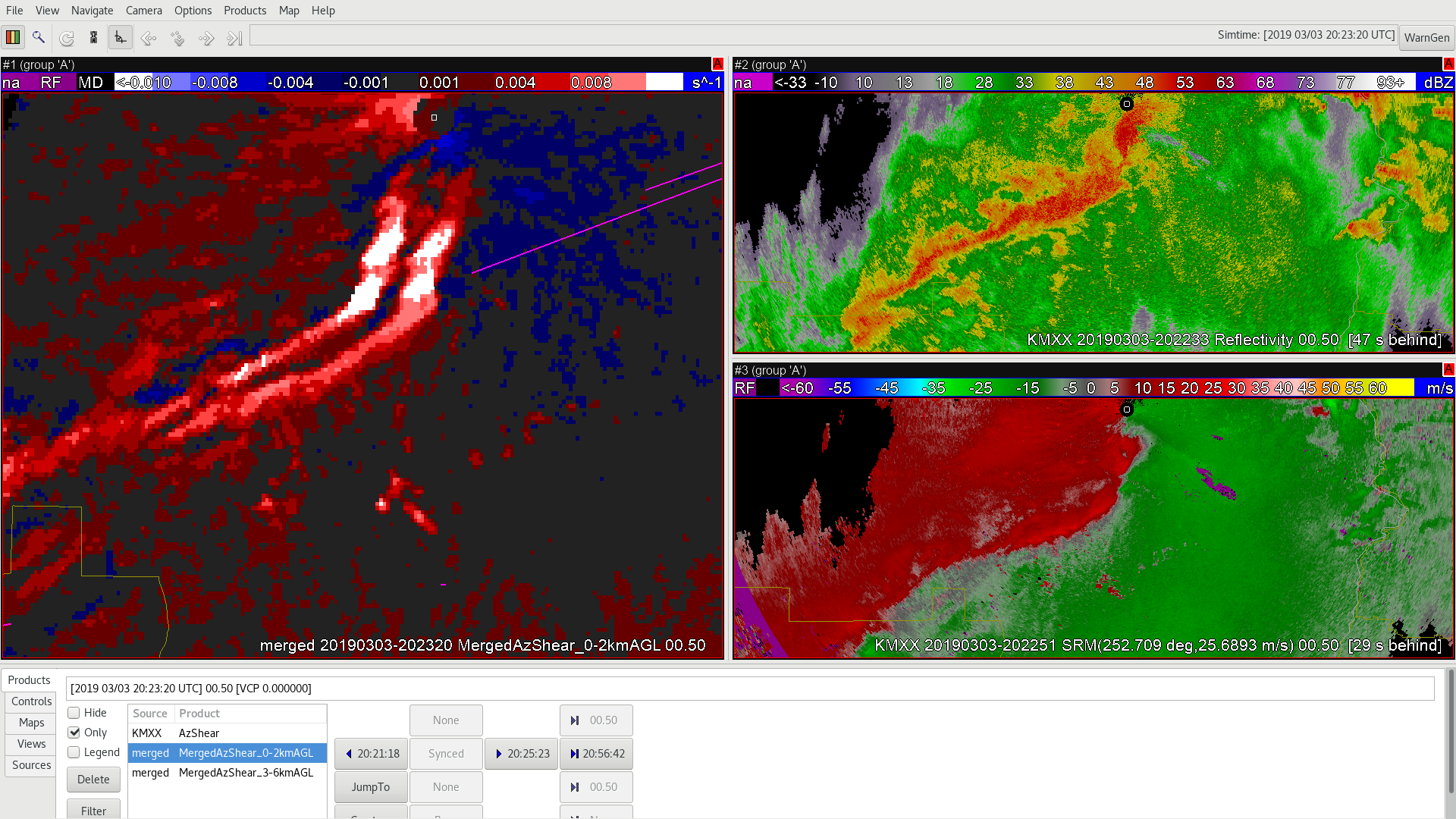
In the image above you can see that the AzShear and the Velocity product from the single radar have the circulation now lost in the infamous ‘purple haze’. One of the benefits of any MRMS product and in this case the Merged AzShear product is visibility in times like this. Neighboring radars (either individually or in the Merged Product) would still show the ongoing circulation. So lets take a look!
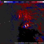
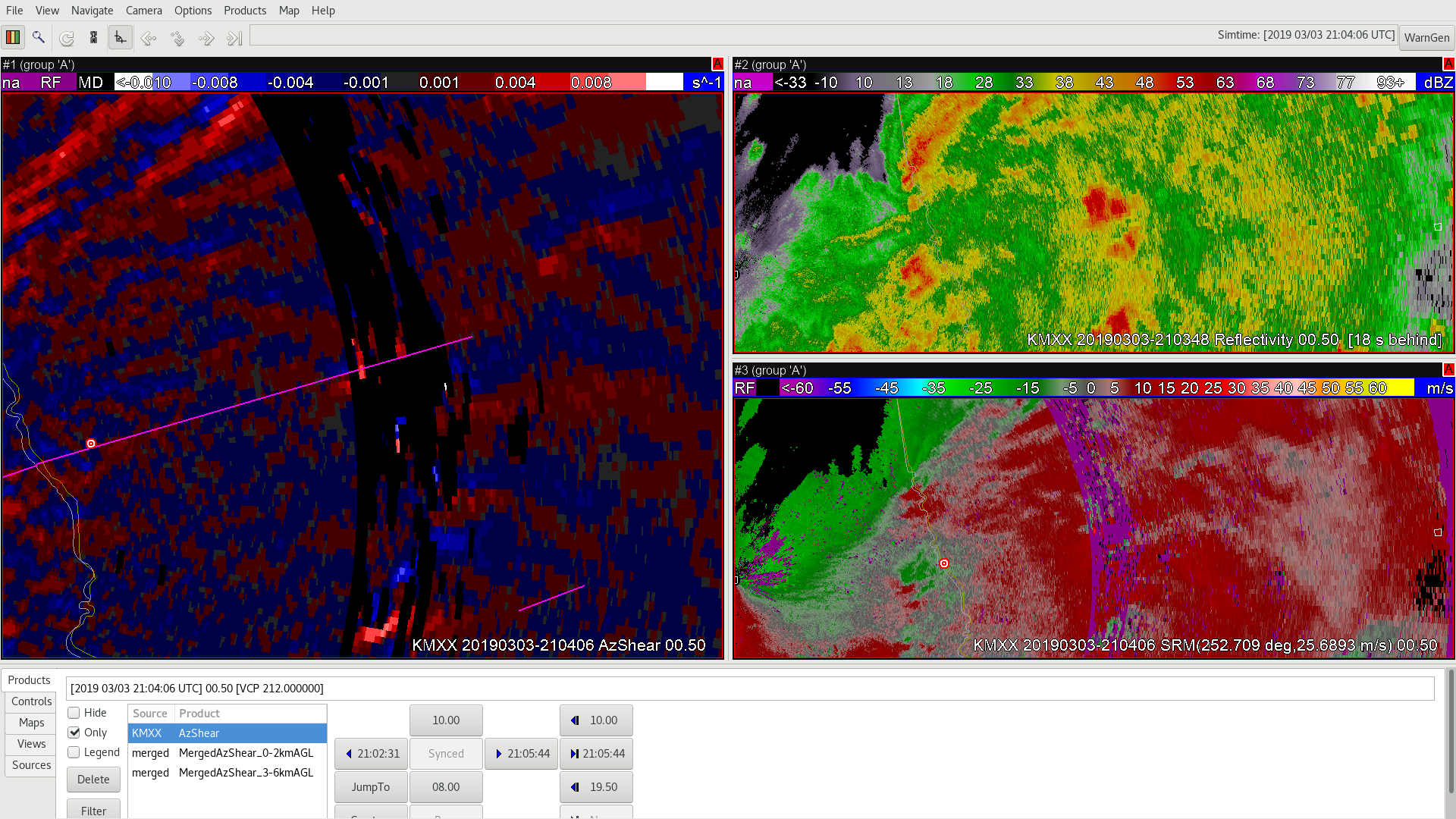
In the merged product you can indeed still see the circulation going strong in the Merged AzShear product, continuing to follow the pink tornado track, while the velocity couplet remains hidden (we are also getting far from the radar so we are looking well aloft in the storm). BUT the one noticeable feature of the Merged AzShear is the triple maxima in this case due to the SAILS cuts making their way into the Merged AzShear product.
Again this triple maxima is an artifact that training and experience would negate, but does show some of the good and the bad in terms of the Merged AzShear.
-Alexander T.
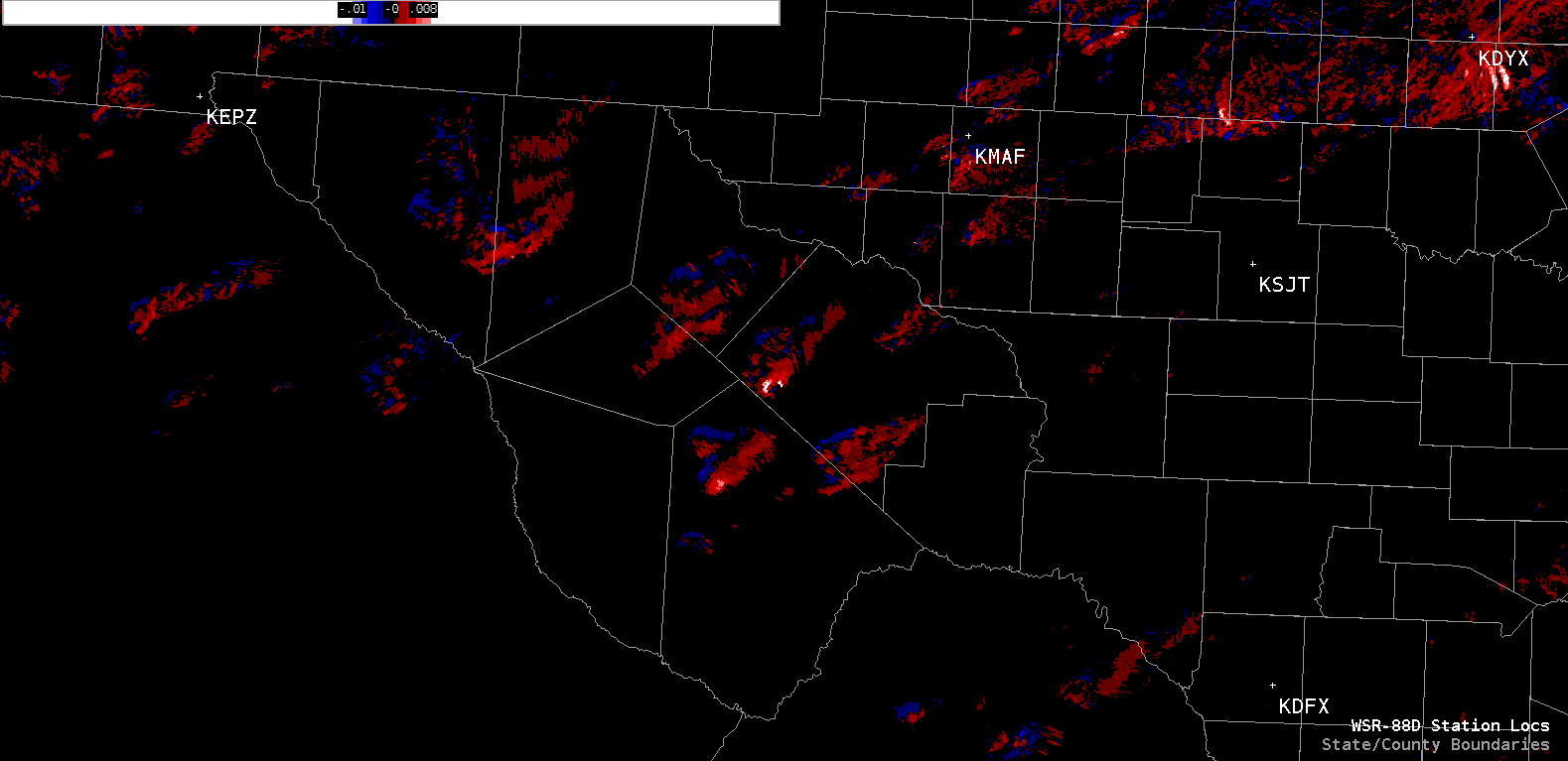
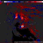
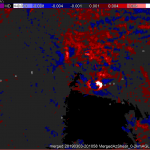
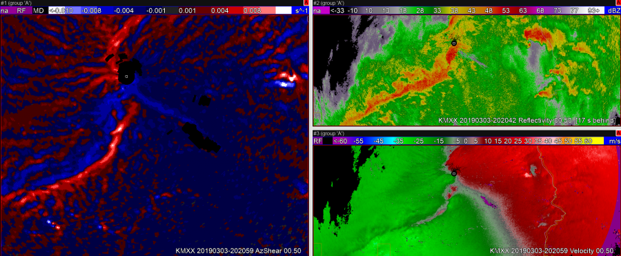
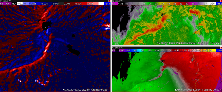
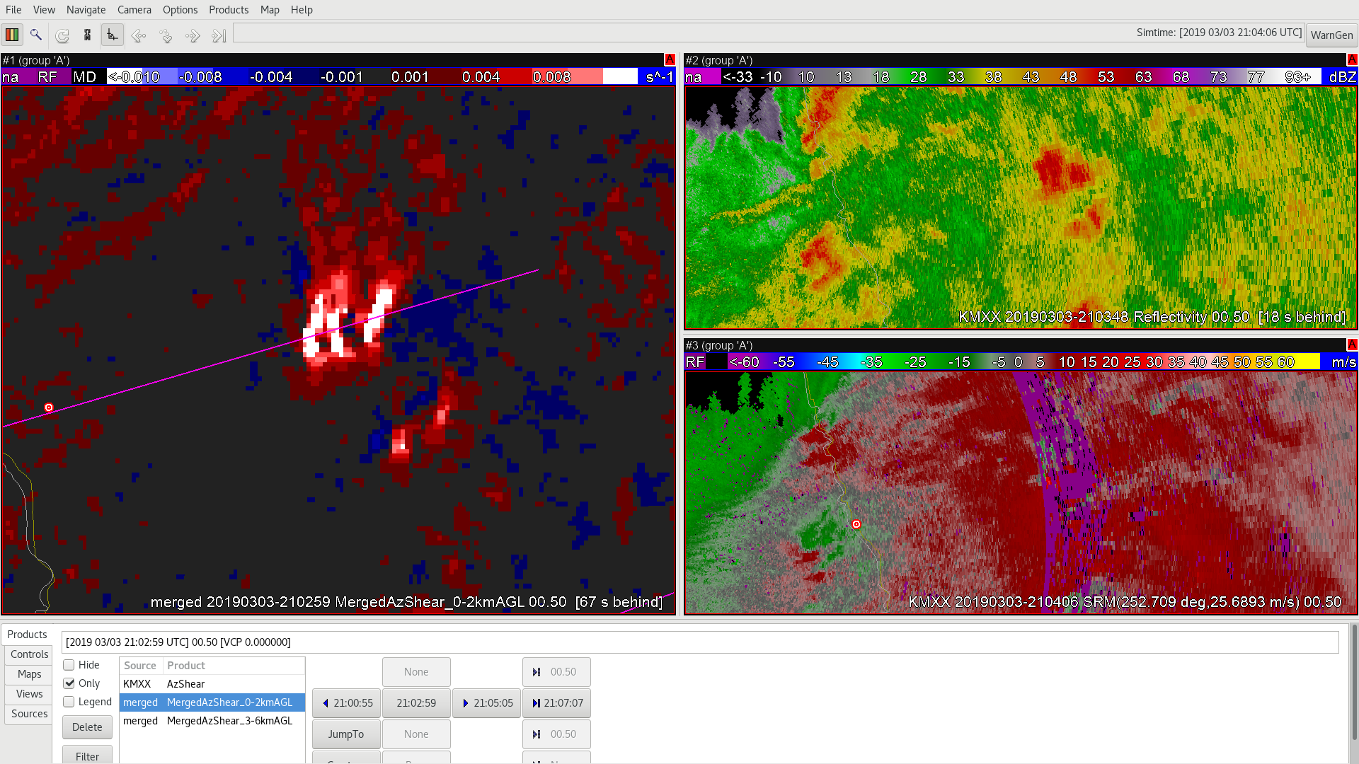
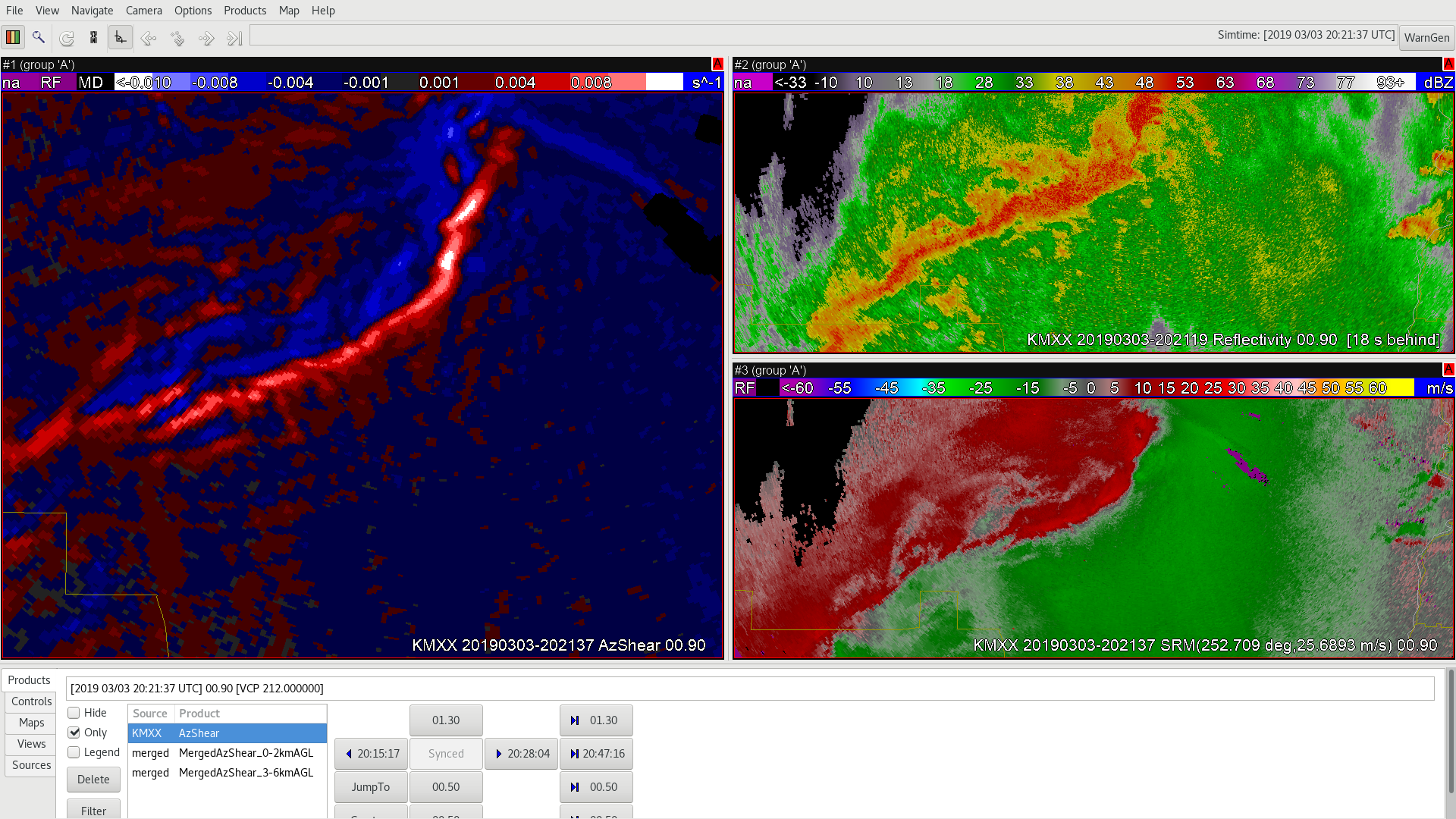
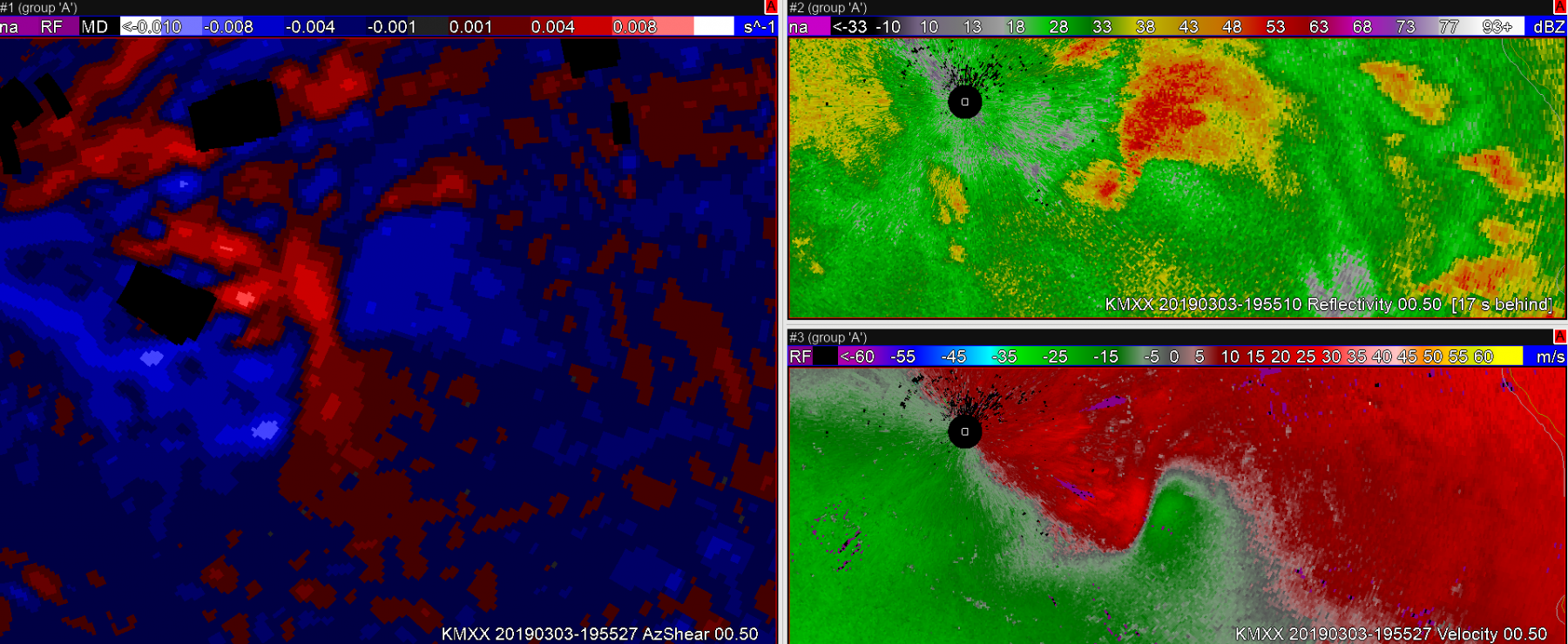
 However, toward the end of the tornado track both velocity and AzShear wash out before the tornado ceases (pink line).
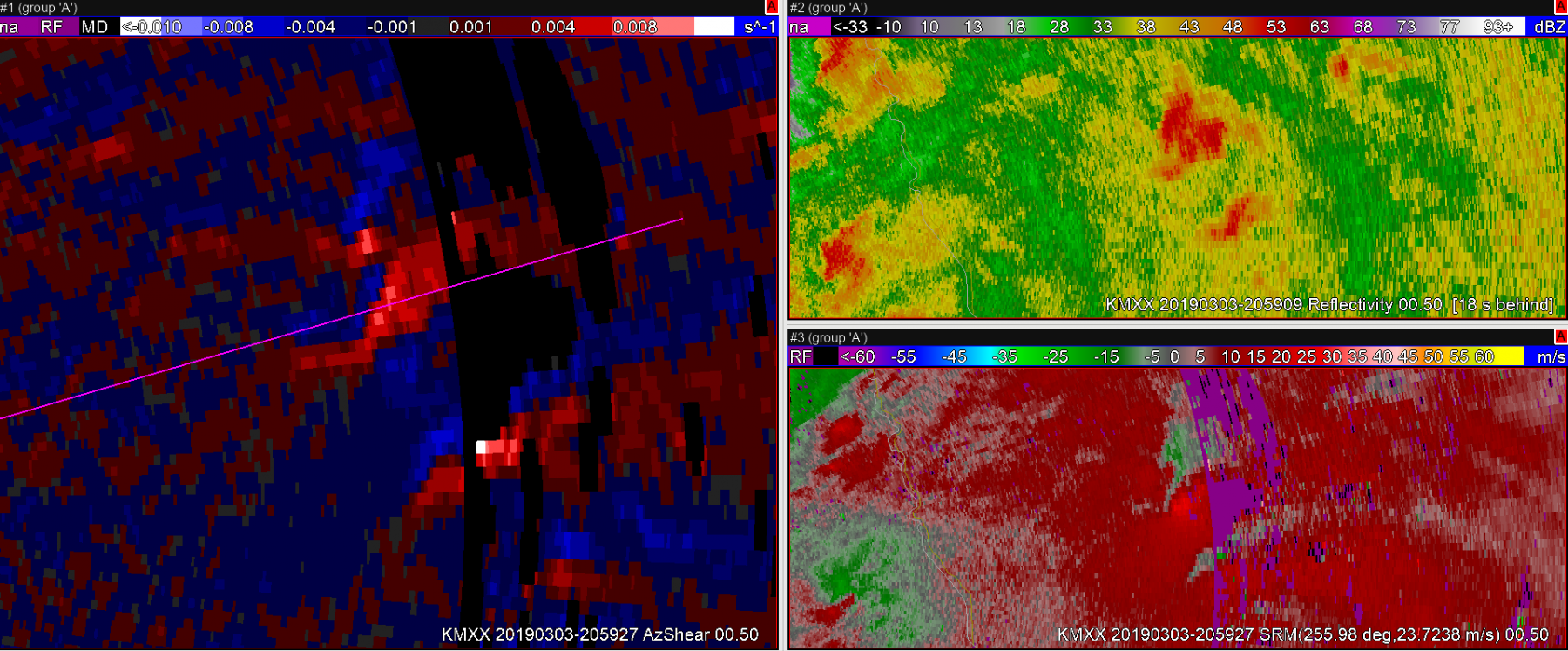 Sandor Clegane
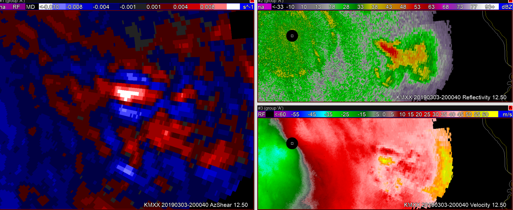 Sandor Clegane
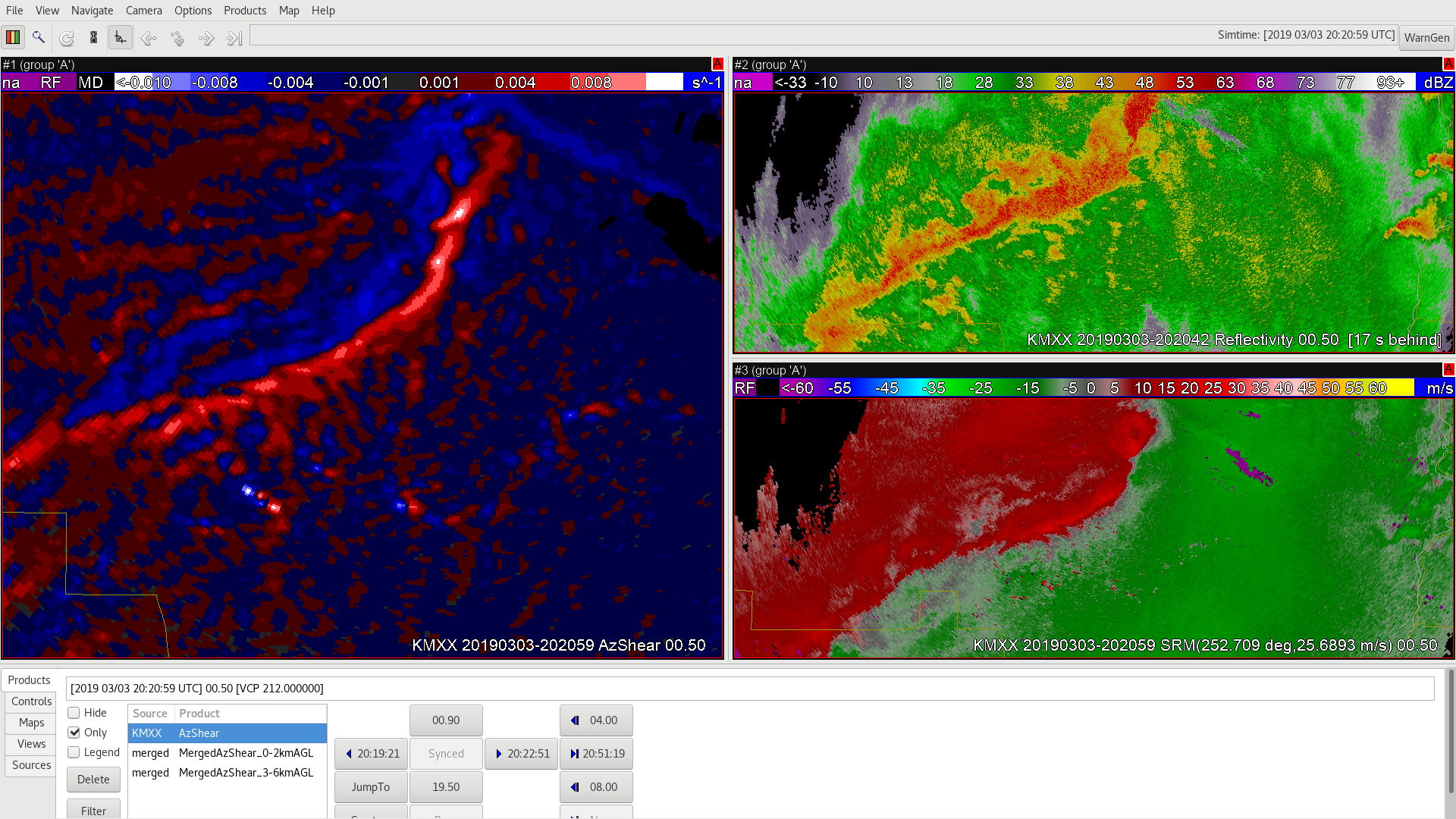
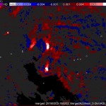
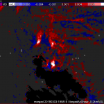
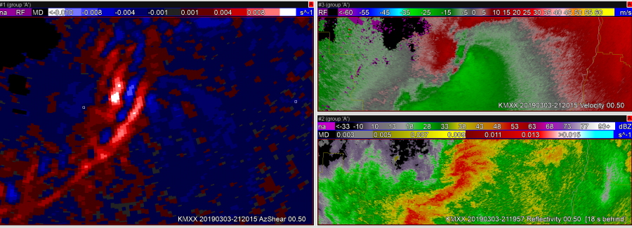
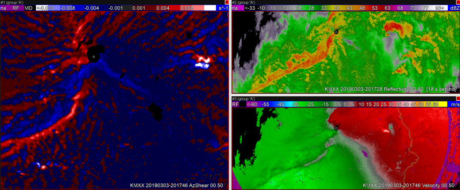
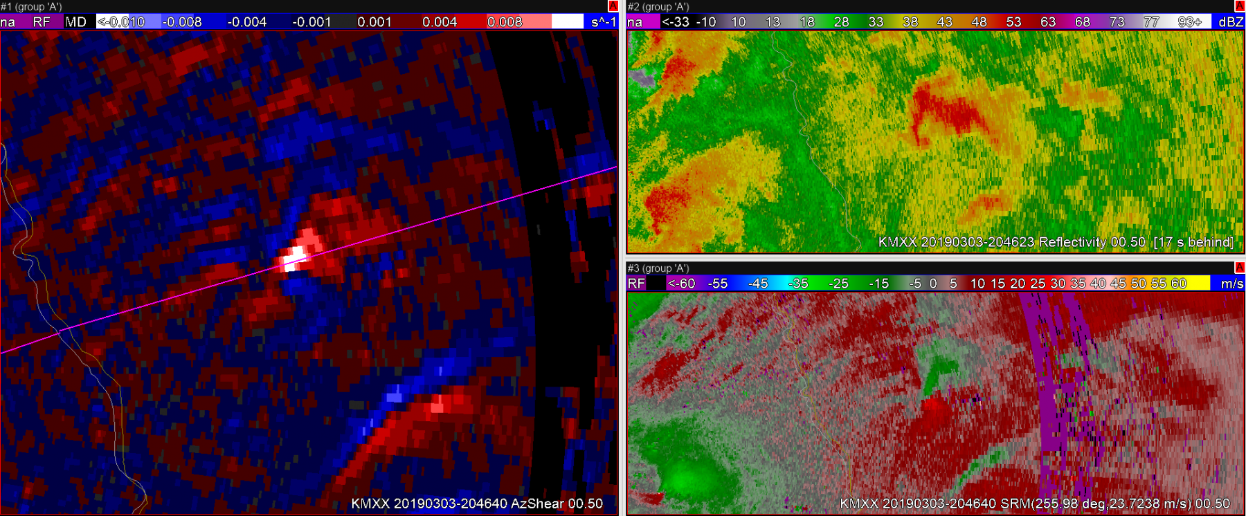
 In this next image, a couple of AzShear features stand out to me. 1) Positive values of AzShear have begun spiking on the north side of the convergant zone. 2) I believe that you’ve seeing the RFD start to kick downstream.
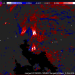
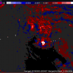
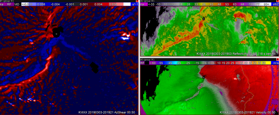
 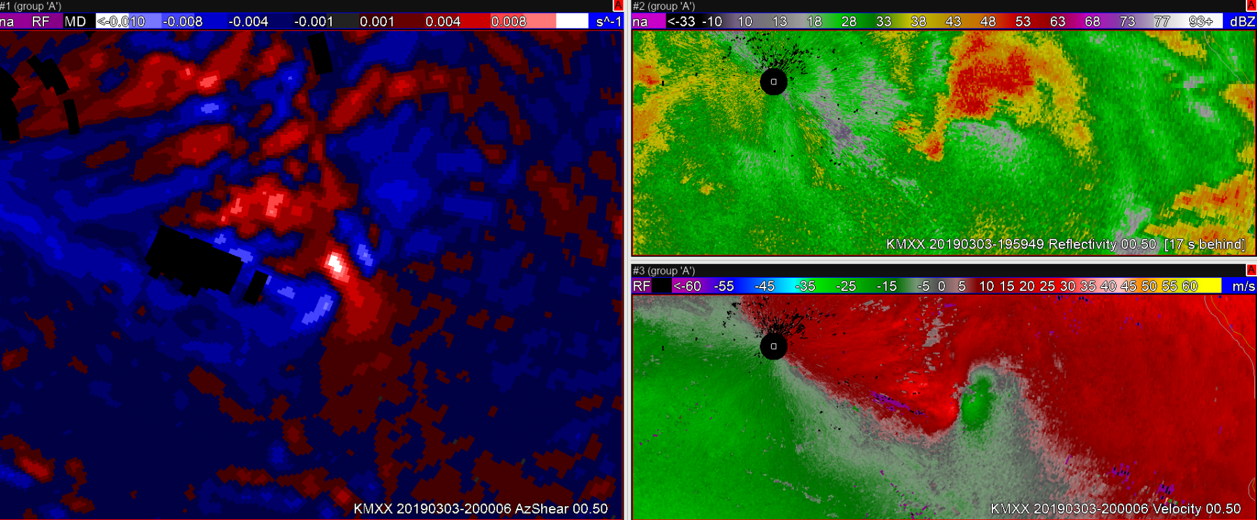 Shortly thereafter, the storm develops a very clear couplet and it is clear this storm deserves a tornado warning. The tornado survey revealed that the tornado began when the second image in this post was captured. AzShear did a nice job highlighting important features on this storm, and may have lead to additional lead time on a tornado warning.
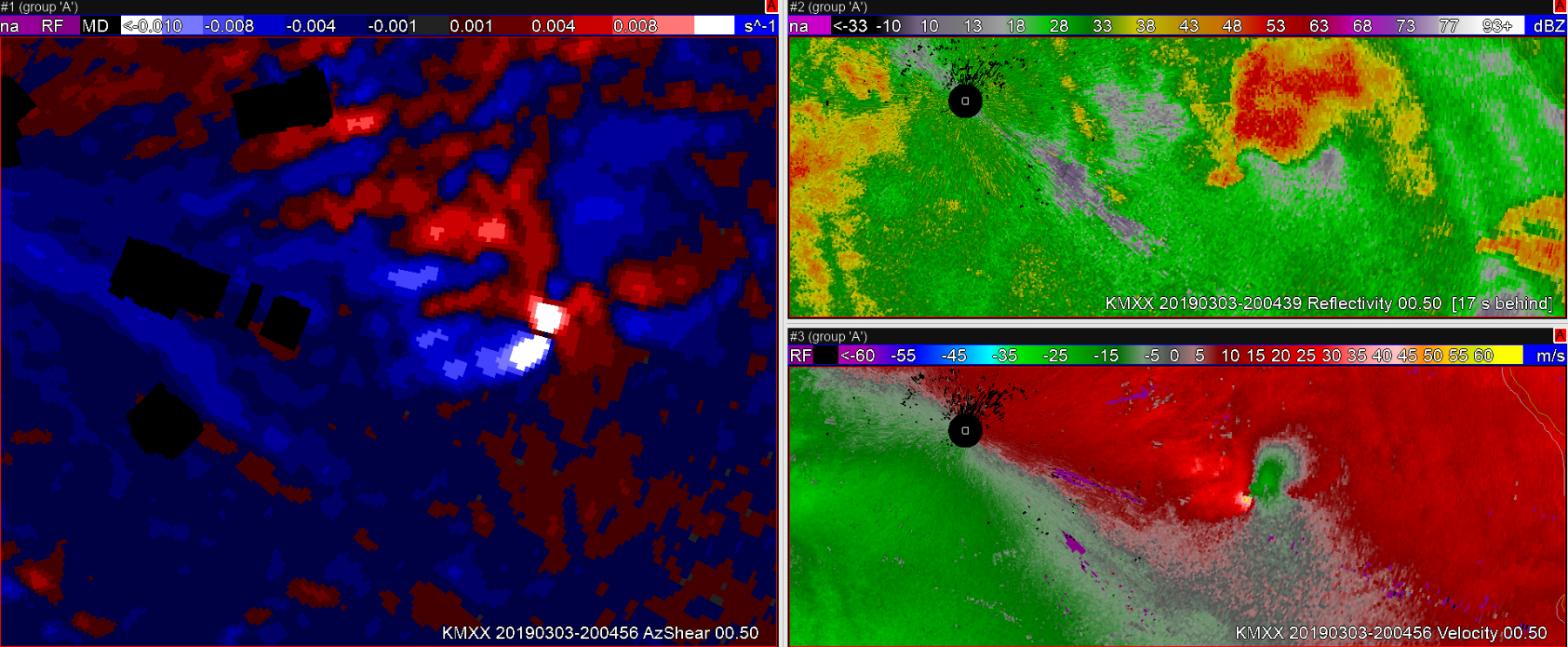 Sandor Clegane