
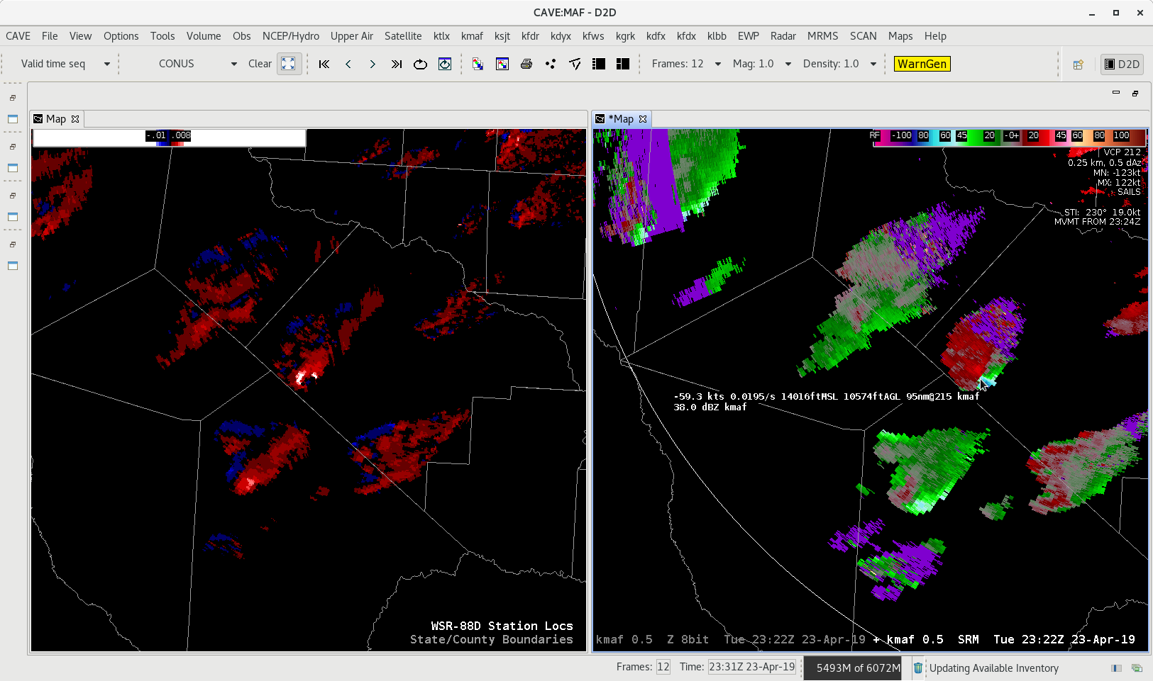
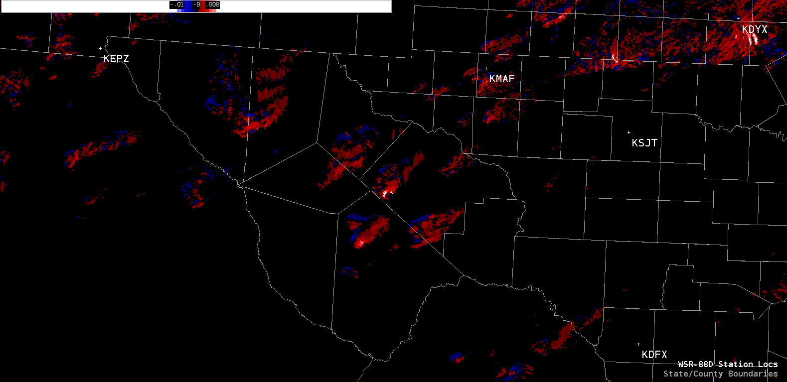
Looking at the Merged AzShear across West Texas the issue of how many radars are taken into account when calculating different MRMS parameters. You can see the SRM from KMAF, the closest radar to the storms. These storms are rotating in the mid-levels but the radar is looking between 10,000 and 16,000 feet depending on which storm you reference. The Merged AzShear is pegging the storm storms where the circulation is evident, but the question is since KMAF is closest is the AzShear product taking in more than one radar? If it is all the other neighboring radars (KEPZ, KDFX, and KSJT) are all as far or farther away, which means they would be looking even higher in the storm. The image below shows how far the radar are from the ongoing storms.
- Alexander T.