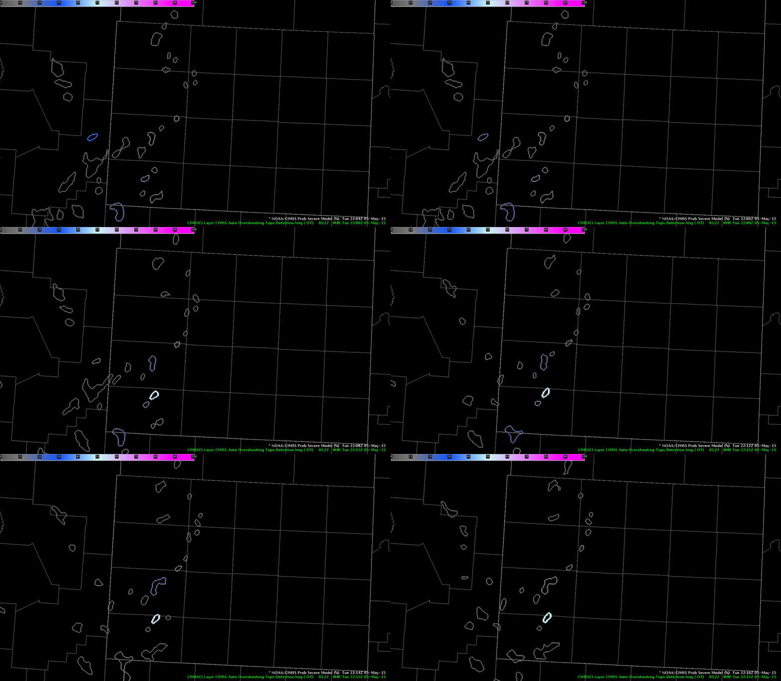
An isolated convective cell just ahead of a line of thunderstorms became overrun by the line of storm and was absorbed by the line which resulted in an increase in the updraft and storm intensity.

The ProbSvr was showing increasing probabilities around 30% by 2216 UTC outlining an area that encompassed the storm merger as well as another cell to the north.
 By 2220 UTC the ProbSvr had increased to 73% and now encompassed the merger as well as the storm to the north. The base radar data was not very impressive and I had no thought for a severe thunderstorm warning despite the increased values of the ProbSvr. This is another case where the ProbSvr has limitations and shows higher values when you have storm mergers and in these situations it should be used with caution.

The PGLM data began to increase at 2215 UTC and continued to to a max density around 31 flashes at 2218 UTC before slowly diminishing back to below 10 flashes by 2224 UTC.


I felt the PGLM data did provide me with improved situational awareness and help focus my attention to this area as these storms had been quite weak in the several scans leading up to this event. I also can see where the one minute resolution of the PGLM data could provide an advantage to show a rapid increase in storm intensity between radar scans.
Jack Bauer