
Synopsis
An upper low and cold front is expected to move across the lower MS Valley. As the upper low moves east today, weak shortwaves embedded in southwest flow will lead to a marginal risk of thunderstorms as they form along and ahead of the front over the Memphis region. The main concern was a moderate risk of excessive rainfall for this afternoon/evening.
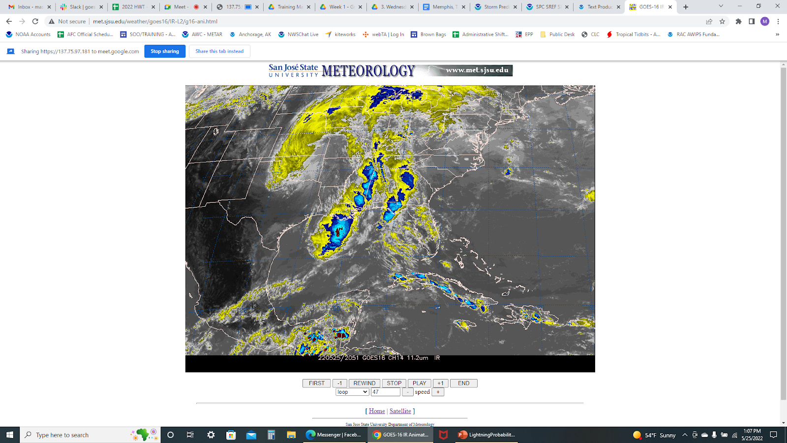
IR imagery. Upper low located near the OK Panhandle.
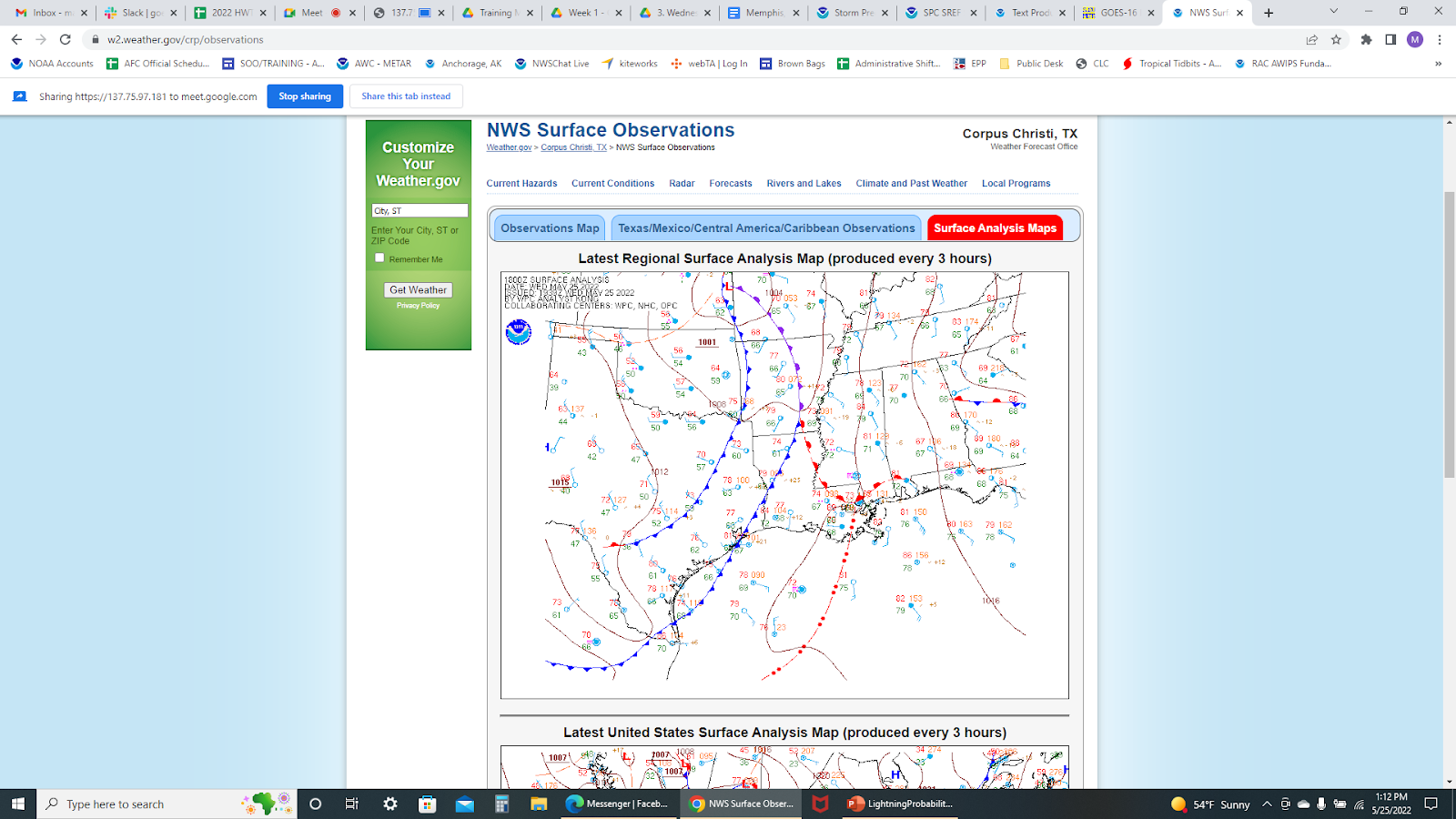
Surface analysis map of the surface low and attendant front.
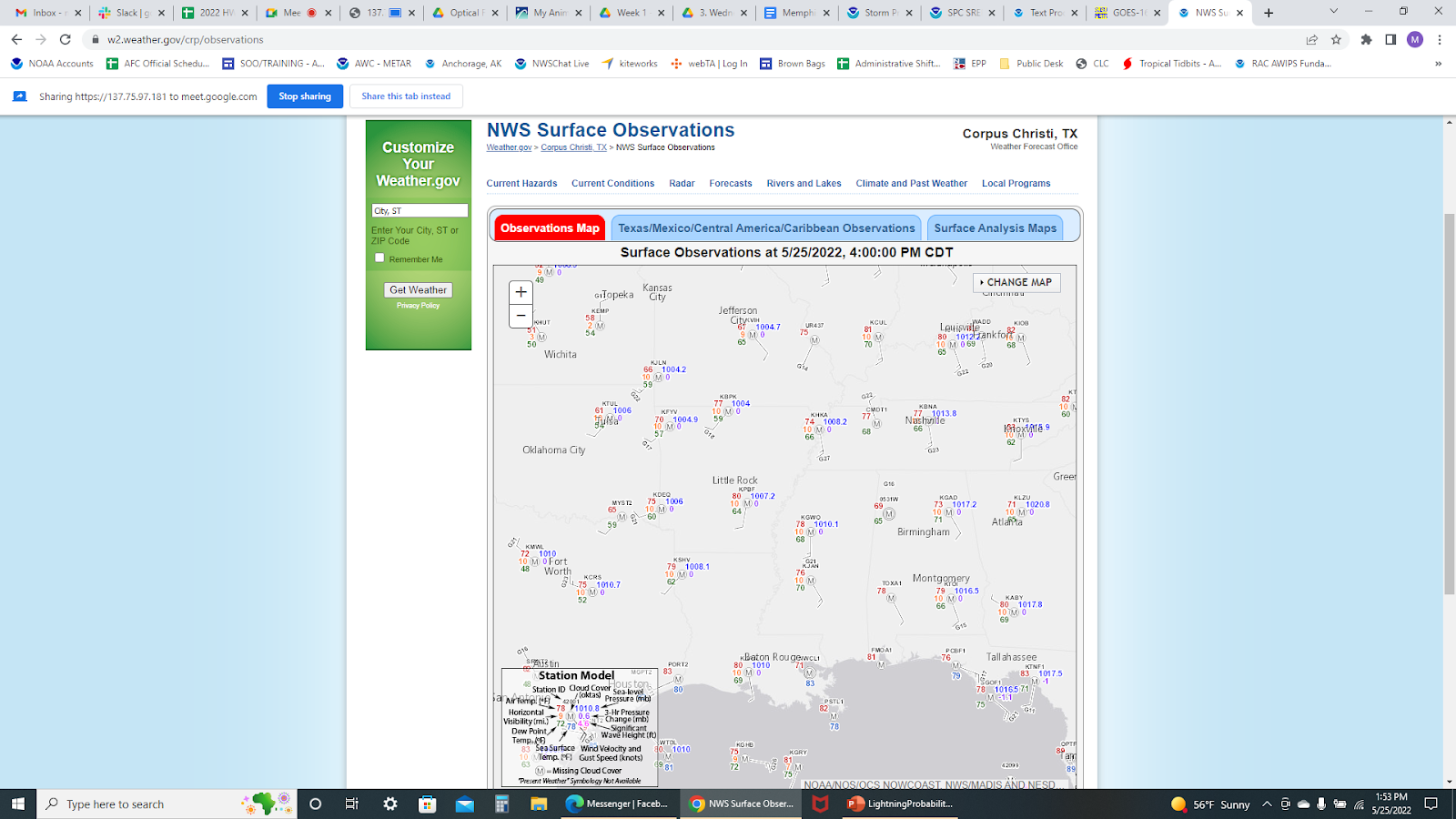
Surface observations as of 4:00PM CDT.
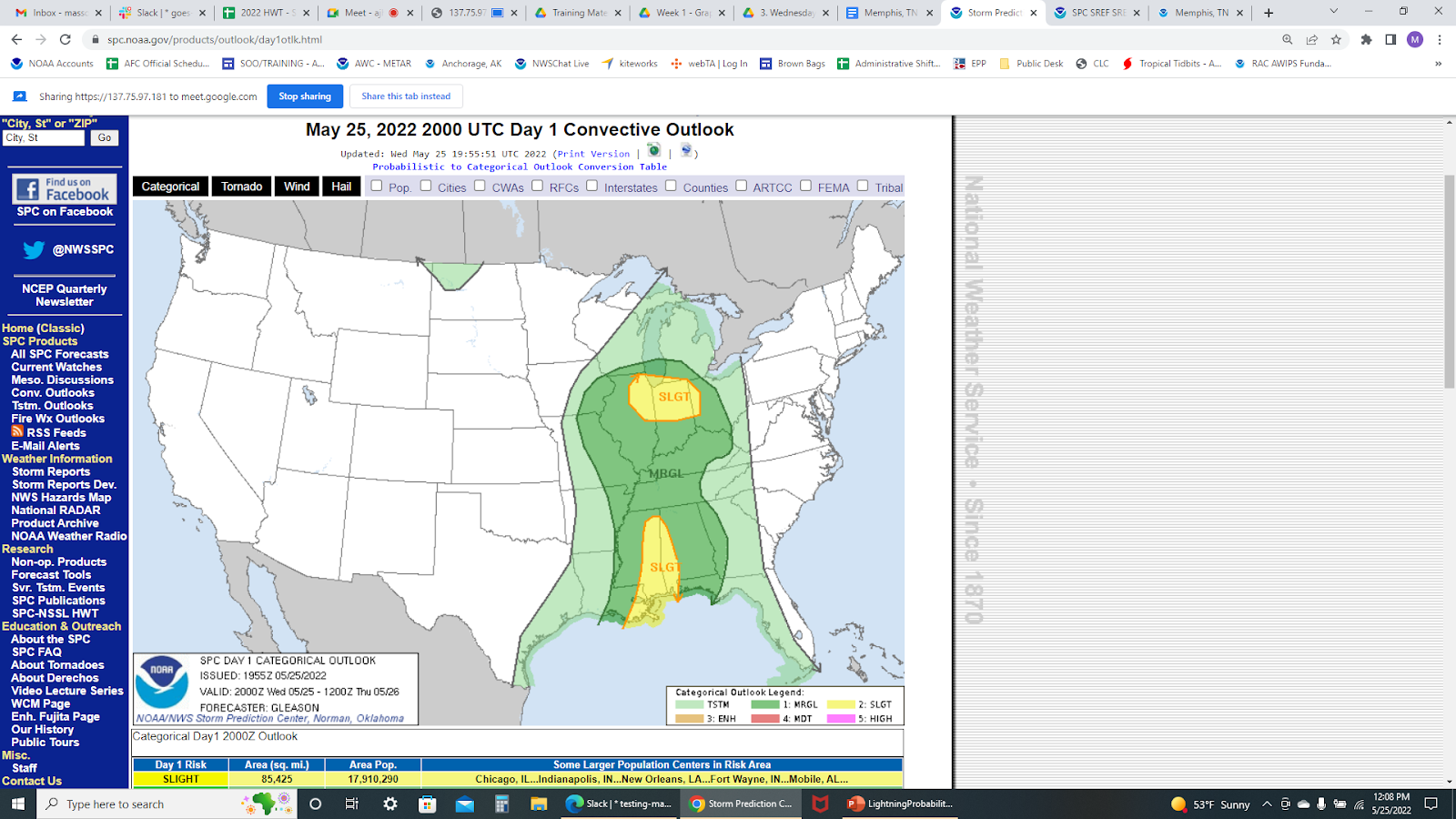
SPC Day 1 Convective placing TN at a marginal risk.
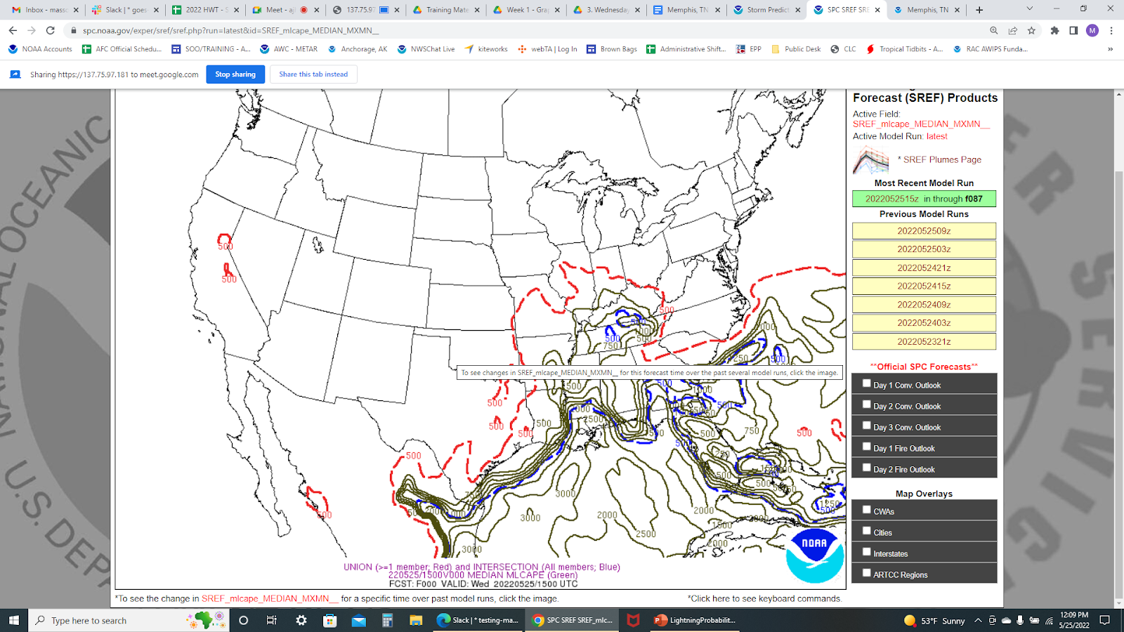
MLCAPE ~500 J/kg.
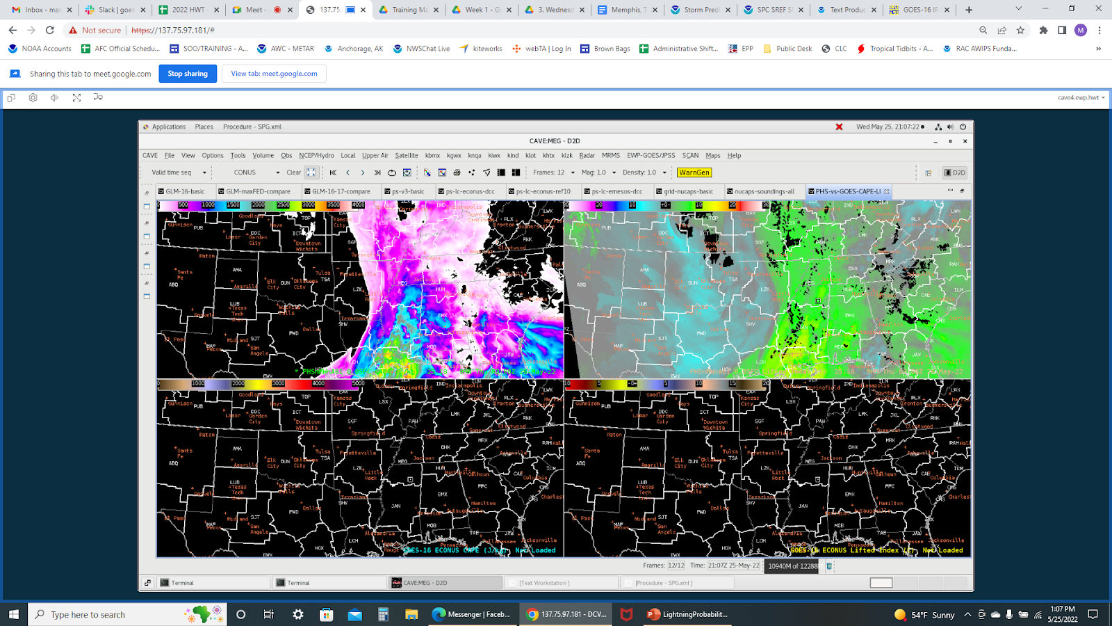
PHS displaying weak CAPE/LI values and a well-defined dry line just west of AR.
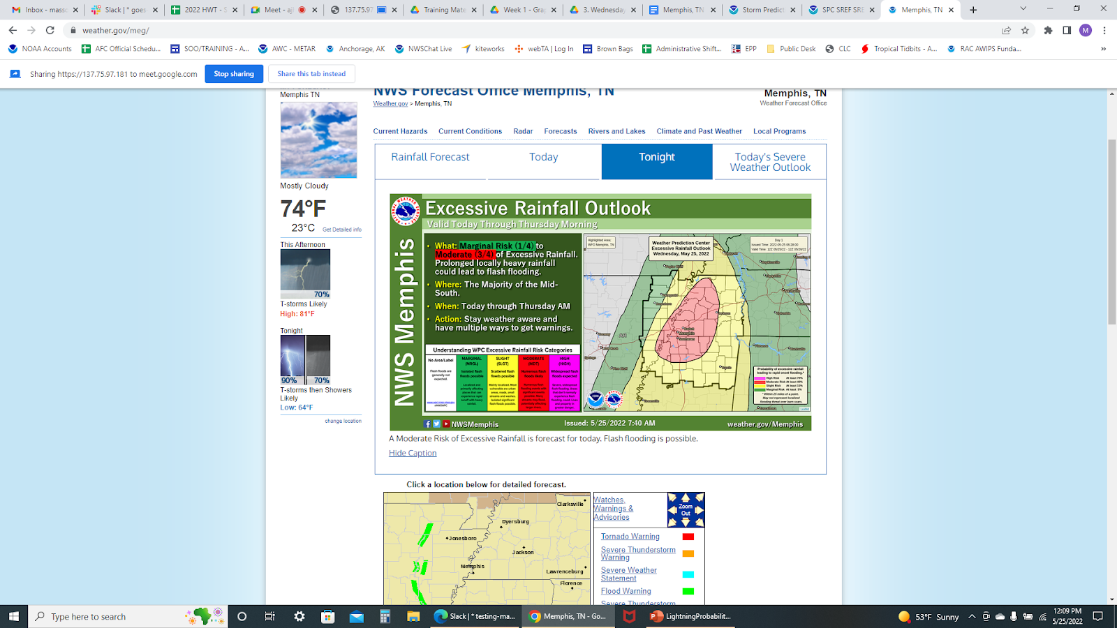
WFO Memphis headlining excessive rainfall outlook.
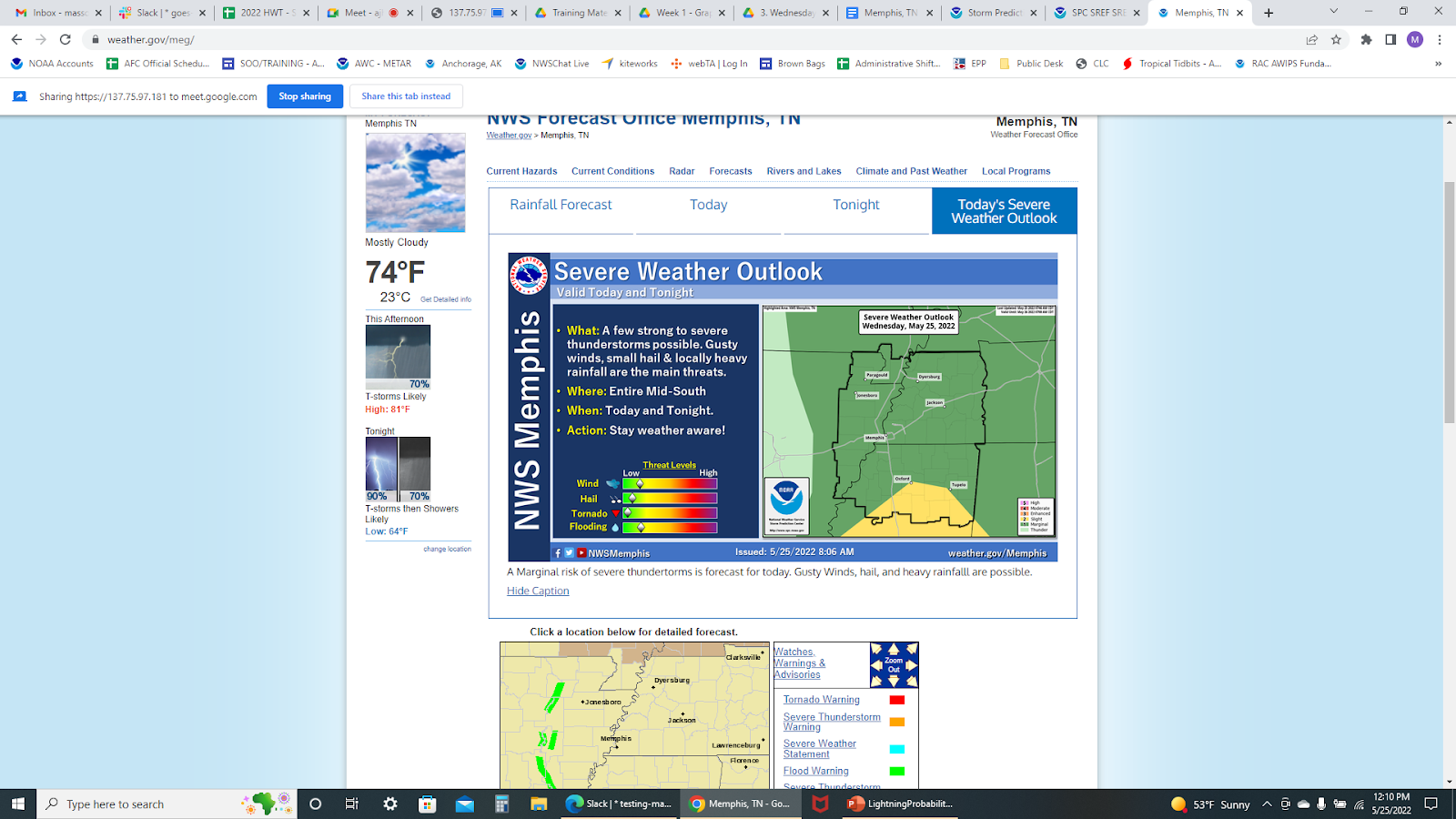
WFO Memphis headlining marginal risk of severe storms.
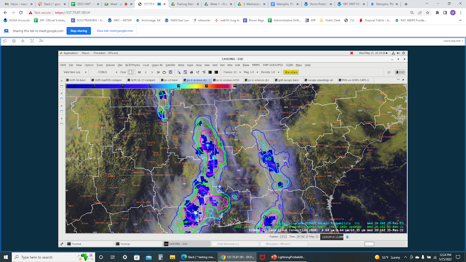
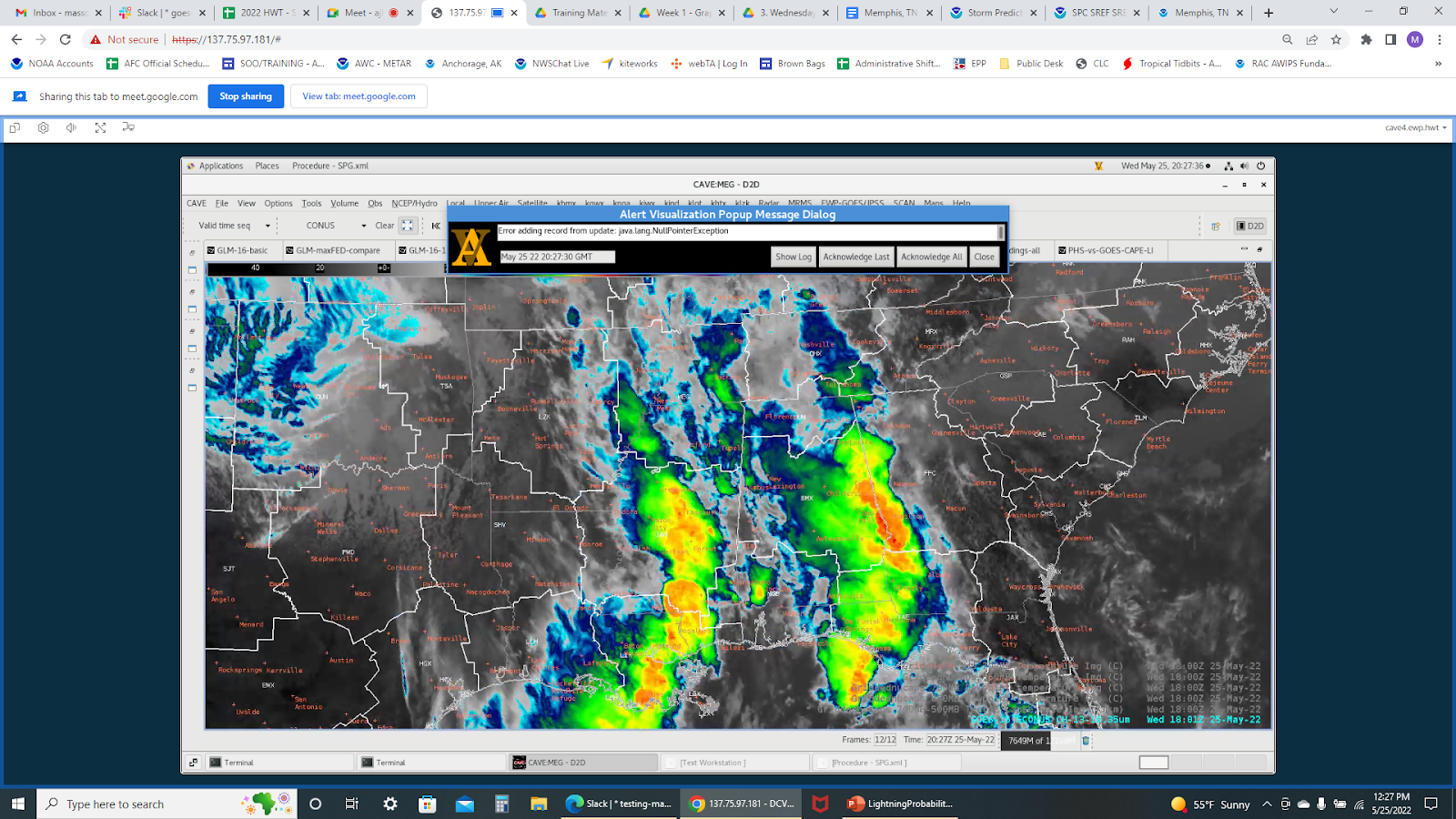
Most of the severe storms were east and south of our area of interest shown here with GLM.
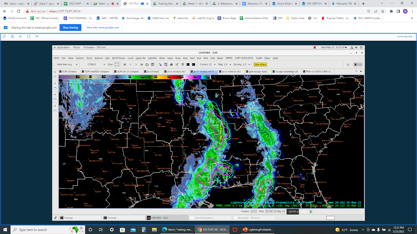
GLM overlaid with Radar.
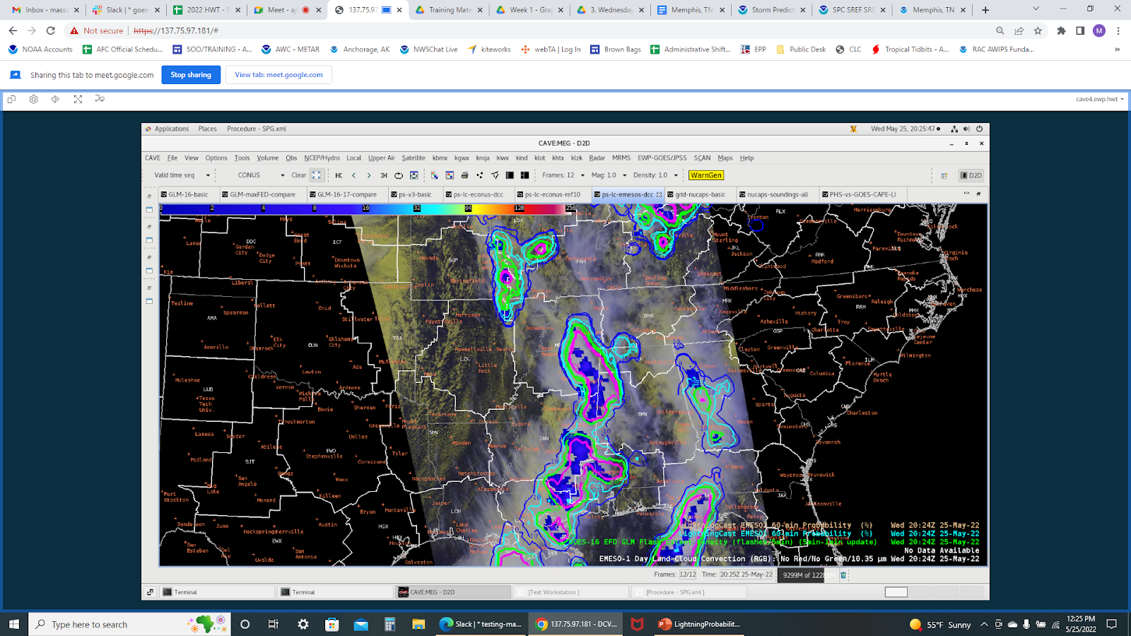
GLM overlaid with satellite imagery.
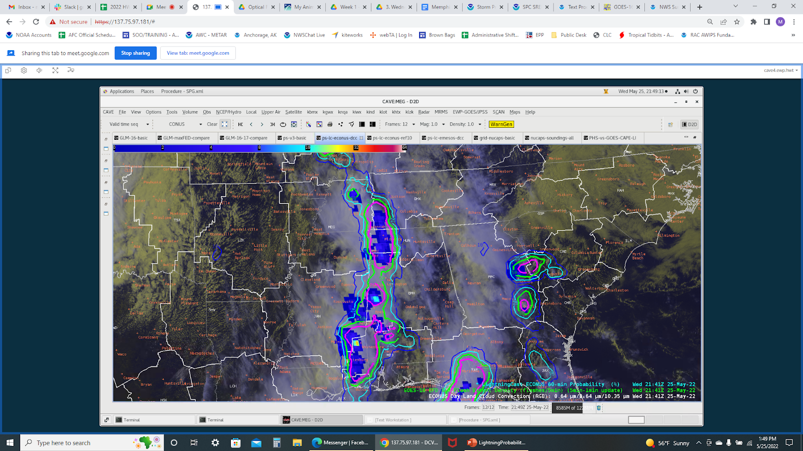
LightningCast
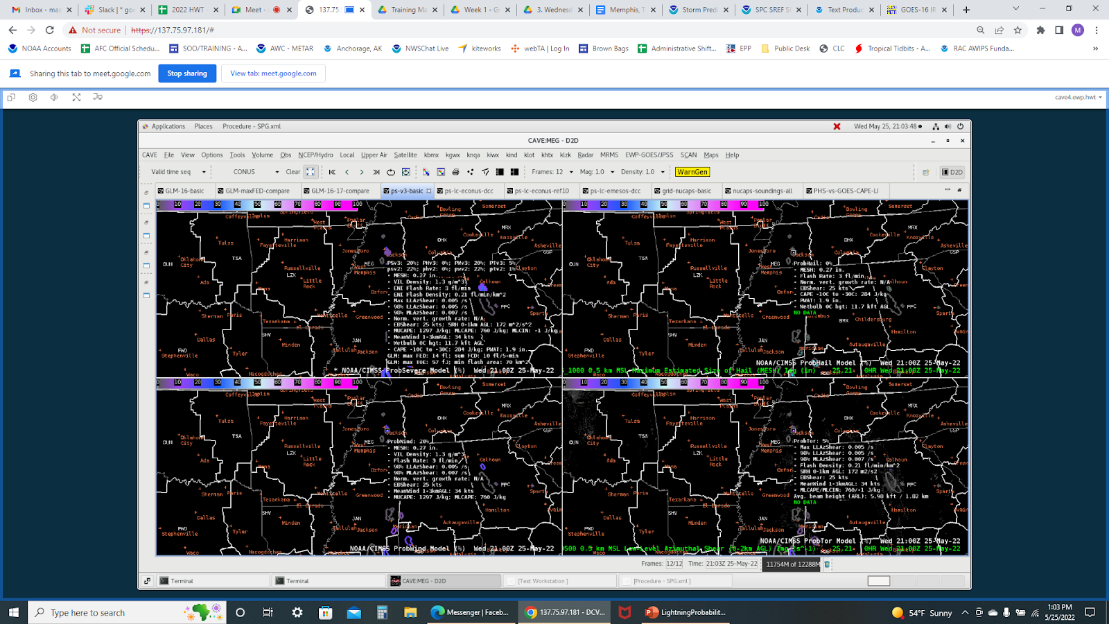
ProbSevere3 showing a low risk of thunderstorms.
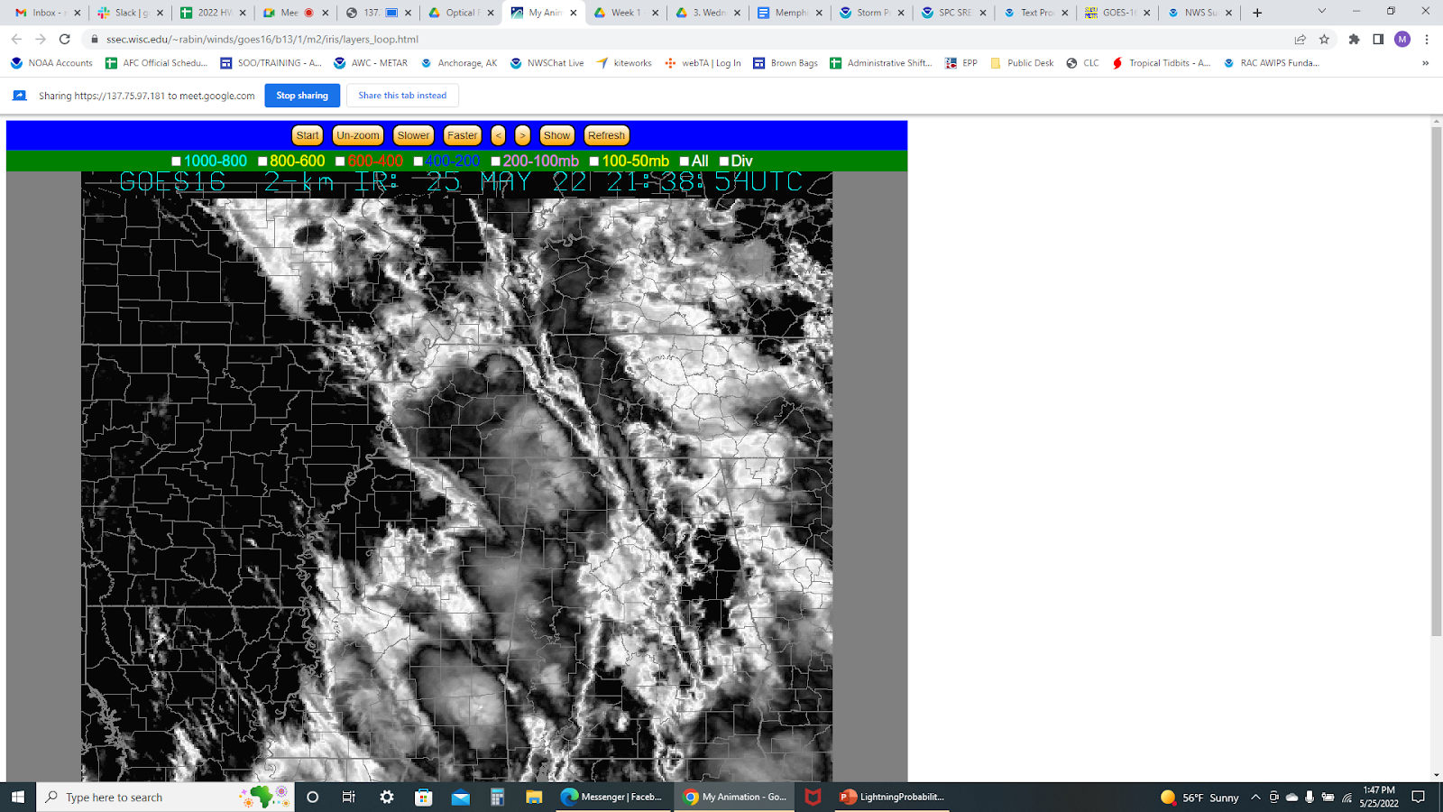
Optical Flow winds show an area of divergence over eastern and southern AR/TN border.
Vortex Power