EWP2012 PROJECT OVERVIEW:
The National Oceanic and Atmospheric Administration (NOAA) Hazardous Weather Testbed (HWT) in Norman, Oklahoma, is a joint project of the National Weather Service (NWS) and the National Severe Storms Laboratory (NSSL). The HWT provides a conceptual framework and a physical space to foster collaboration between research and operations to test and evaluate emerging technologies and science for NWS operations. The Experimental Warning Program (EWP) at the HWT is hosting the 2012 Spring Program (EWP2012). This is the fifth year for EWP activities in the testbed. EWP2012 takes place across five weeks (Monday – Friday), from 7 May through 15 June. There are no operations during Memorial Day week (28 May – 1 June).
EWP2012 is designed to test and evaluate new applications, techniques, and products to support Weather Forecast Office (WFO) severe convective weather warning operations. There will be three primary projects geared toward WFO applications this spring, 1) evaluation of 3DVAR multi-radar real-time data assimilation fields being developed for the Warn-On-Forecast initiative, 2) evaluation of multiple CONUS GOES-R convective applications, including pseudo-geostationary lightning mapper products when operations are expected within the Lightning Mapping Array domains (OK/west-TX, AL, DC, FL), and 3) evaluation of model performance and forecast utility of the OUN WRF when operations are expected in the Southern Plains.
WEEK 3 SUMMARY:
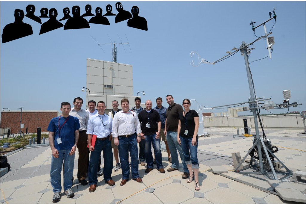
Week #3 of EWP2012 occurred during 21-25 May. NSSL and the GOES-R program provided travel funds for four visiting forecasters from the NWS this week: Matt Hirsch (WFO, Phoenix, AZ), Andy Kleinsasser (WFO, Wichita, KS), Chris McKinney (WFO, Houston, TX) and Gordon Strassberg (CWSU, New York, NY). Other visiting participants this week included James McCormick (AFWA, Offutt AFB, Omaha, NE), Helge Tuschy (Deutscher Wetterdienst, Germany), Lee Cronce (CIMSS/UW-Madison), Chris Jewett (UAH), and Dan Lindsey (CIRA/CSU). The weather this week contained a variety of events throughout the country, although none of them were exceptional. We did get a good regional diversity of cases however, even multiple locations were worked on the same shift.

Photo: 1) Gordon Strassberg (CWSU, New York, NY), 2) Matt Hirsch (WFO, Phoenix, AZ), 3) Helge Tuschy (Deutscher Wetterdienst, Germany), 4) Andy Kleinsasser (WFO, Wichita, KS), 5) Mark Sessing (NWS/WDTB), 6) Chris McKinney (WFO, Houston, TX), 7) Gabe Garfield (CIMMS/WFO Norman, OK), 8) Chris Siewert (CIMMS/SPC/GOES-R), 9) Travis Smith (CIMMS/NSSL), 10) Chris Jewett (UAH), and 11) Kristin Calhoun (CIMMS/NSSL). Photograph by Greg Stumpf (CIMMS/NWS-MDL).
REAL-TIME EVENT OVERVIEW:
21 May: Amarillo (AMA), Lubbock (LUB) and Albuquerque (ABQ)
22 May: Bismarck (BIS), Grand Forks (FGF), and Aberdeen (ABR)
23 May: (Early) Raleigh (RAH) and Wilmington (ILM); (Late) Omaha (OAX) and Hastings (GID)
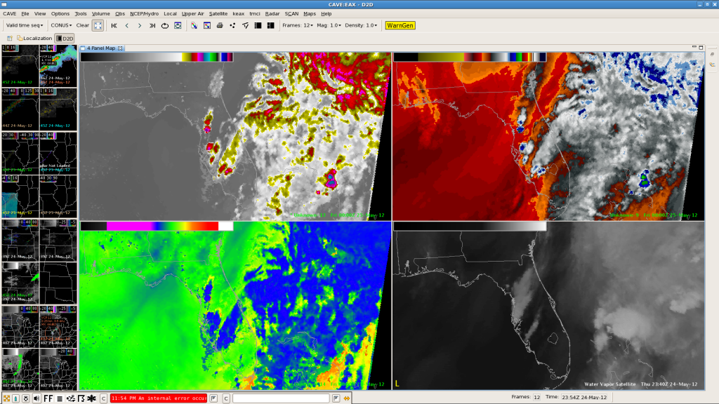
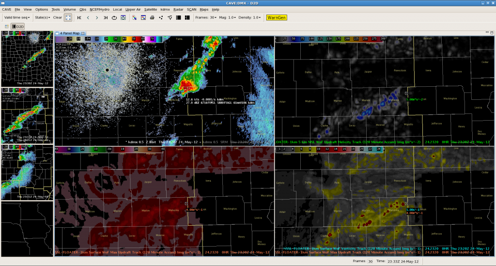
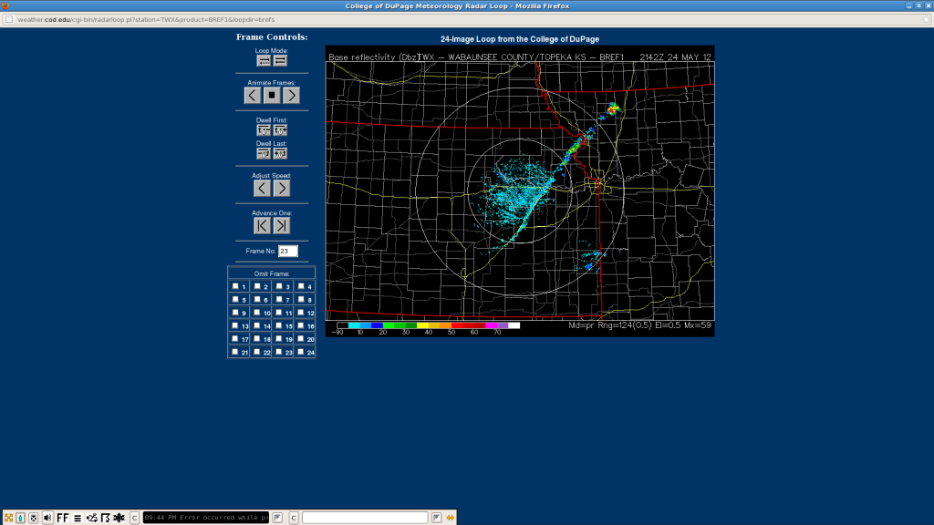
24 May: (Briefly, early) Sterling (LWX) and Melbourne (MLB); Des Moines (DMX), La Crosse (ARX), and Kansas City (EAX).
FEEDBACK ON EXPERIMENTAL PRODUCTS:
3DVAR:
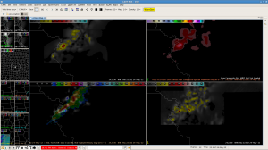
- Tracks of products can provide an understanding of what storms are capable of now considering past reports and associated 3DVAR product values.
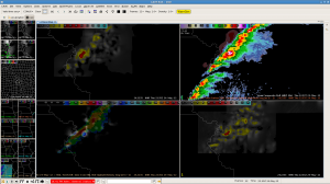
- Even when radar picture was somewhat messy and contained marginal severe signatures, the 4-panel displays of 3DVAR products (updraft and vorticity, including history tracks) made it easier to assess storm trends.
- Found the wind fields very useful, particularly in the lowest couple of km as it could provide a quick look at shear ahead of storms. However, it could get difficult to pan through data when interrogating multiple levels, an all tilts relative to radar heights (on radar plane or radar on 3d-grid) could be useful here.
- Could be quite useful in marginal cases, especially low-level spin-ups, depending on area radar coverage. Suggest incorporating TDWRs if possible.
- Data latency of 5-6 min somewhat an issue. Sometimes used for post-warning piece-of-mind. Additional processing speed likely to allow for more use in warning operations.
- Really looking forward to short-term forecast (15-30-45 min) of similar products.
OUN-WRF:
Forecasters were able to incorporate OUN-WRF data into their forecasts on both Monday and Thursday this week:
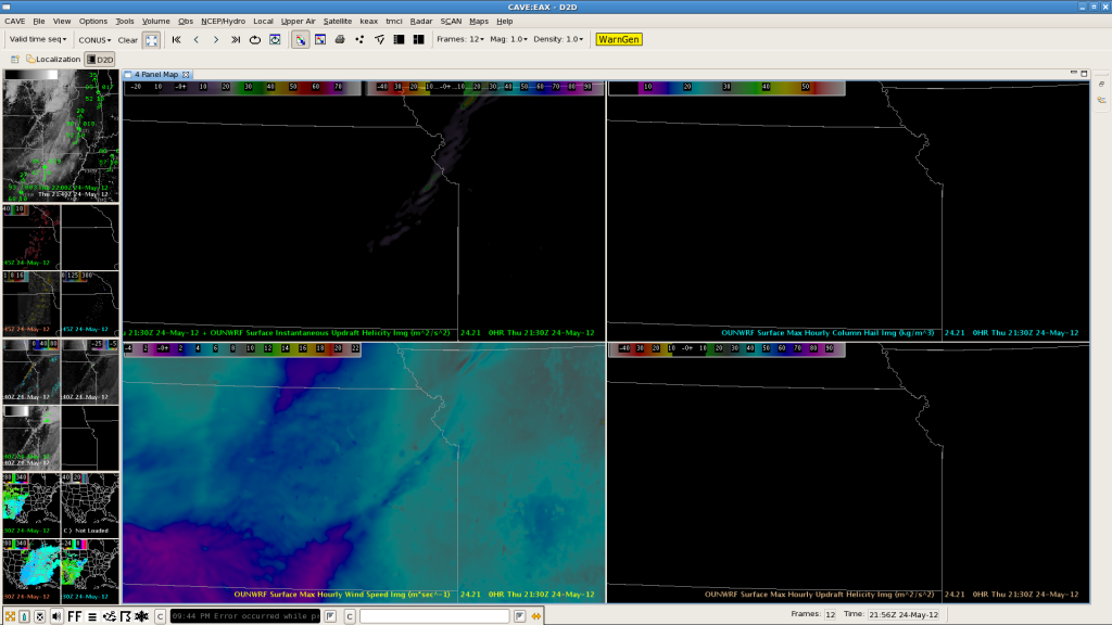
- Found it useful in assessing storm mode and providing short-term situational awareness improvement. Used it less once convection was actually ongoing.
- Still looking for some type of dprog/dt product or display and sounding display capabilities. (soundings may be available using bufkit and nsharp, though this was not obvious in AWIPS2)
GOES-R SimuSat:
- Recommend expanding this product to other models besides NSSL-WRF. Could be huge help for creating sky grids in GFE.
- There is a systematic bias in the calculation that doesn’t depict high cirrus coverage (e.g., anvils) as well as it does low clouds, however some forecasters found this problem to actually be useful detail. If changes are made to the display, recommend a low-cloud product.
- For aviation, may be incredibly useful for IFR/VFR status updates, including timing and density forecasts which can be quite important for large airports such as SFO or the NY region.
- Dan Lindsay displayed a loop that switched from real satellite to forecast simulated satellite (once I get link, we will add that here). Provides a way to see evaluate far forecast model (NSSL-WRF) coverage deviates from current obs at point of switch.
GOES-R Nearcast:
- Found it captures the atmospheric motion very well (“better than any product”).
- Theta-E products indicated potential instability and moisture gradients well.
- Some color-tables appeared flipped… believe warmer colors should typically be used to depict higher instability.
- Suggest use of on-the-fly differencing so forecasters can choose their own levels for differencing (based on thermodynamic profile).
GOES-R UAH-Convective Initiation/SatCast:
- Used for both severe and non-severe weather days. Able to denote initiation along sea-breeze and other convective modes. For use in aviation, it doesn’t matter if storm is “severe” or not.
- Decline in usability during thick cirrus coverage.
- Still useful at night, but cloud mask not as robust. Saw many random objects and cirrus identified. Recommend perhaps removing the lower probabilities overnight.
GOES-R UW-Cloud-top-cooling (CTC):
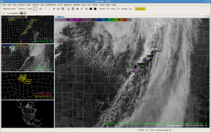
- Found running this side-by-side with UAH-CI algorithm to be very (most) useful. Saw CI product flag 60-80% probabilities, followed by CTC then lightning.
- Every strong CTC signal observed in MO on Thurs had development to severe. Would like to see some type of climatology study of the product relating it to severe weather (e.g., hail / MESH alg). Is the CTC signal regionally dependent? Convective regime dependent?
There are more GOES-R feedback details on the GOES-R HWT Blog Weekly Summary.
NOTES FROM THE EWP2012 STAFF:
Forecasters this week have been very interested in real-time availability of many of the experimental products for their offices right now. We believe this shows the marked improvement in displays and use of many of the products between year 1 (2011) in the testbed and year 2 (2012) and the importance of testing consecutive years with time in between for product development. The comments above still show some areas of improvement before operational implementation, but this highlights the type of development that can occur through testbed work.
CONTRIBUTORS:
Kristin Calhoun, EWP2012 Week #3 Weekly Coordinator


