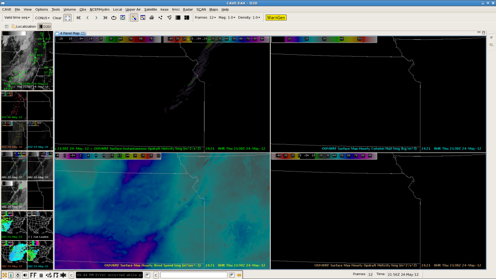
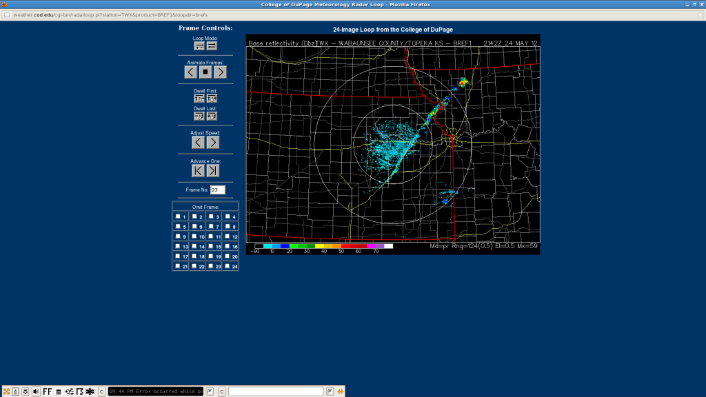
Thunderstorms continue to build rapidly to the SW along the cold front with initiation underway around 2145 Z over NE Kansas. It is amazing how well the OUN WRF captured the initiation:


Timing was excellent with placement just slightly off to the south. This model forecast would have helped forecasters a lot to pinpoint area of initiation well ahead.
Helge
