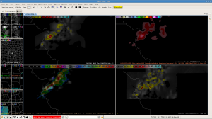
A line with strong to severe storms continues to push rapidly to the east. The environment is favorable for rapid storm organization, given 60 kt deep layer shear and tongue of 2000 plus J/kg SBCAPE sneaking in from the SW.


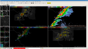
At 2237Z, the composite reflectivity image was added (upper right) with core refl. aoa 70 dBz just where 3DVAR indeed had the most severe cell development along that line over NW Missouri.
Helge
