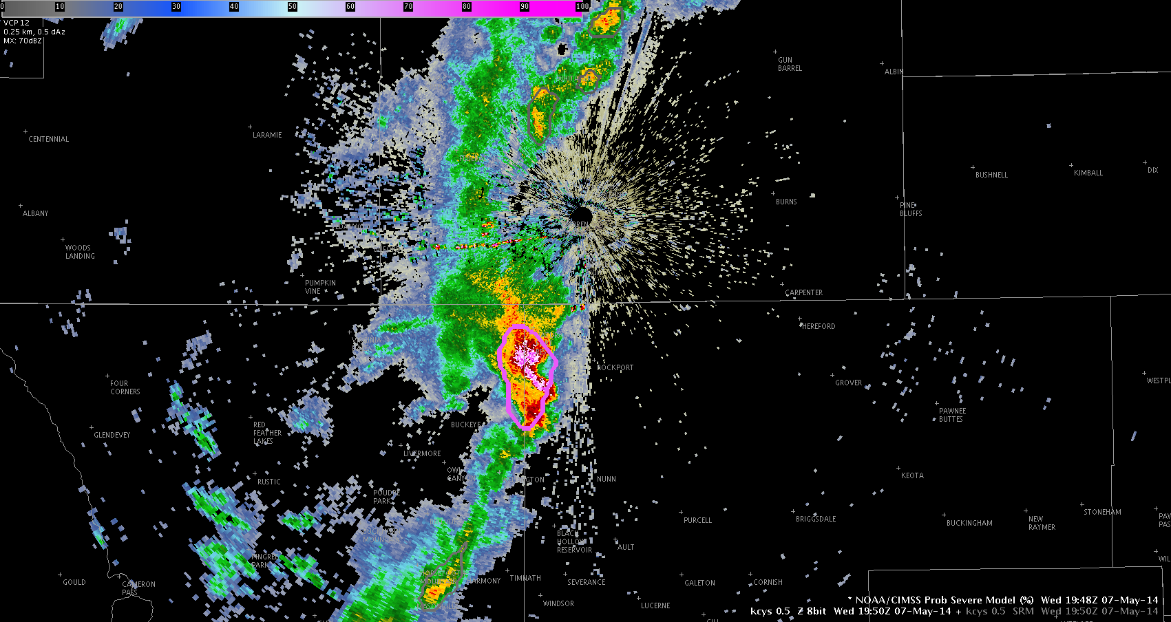
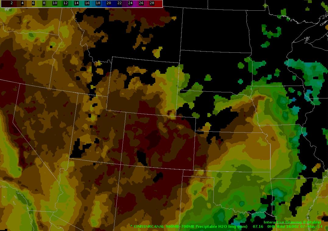
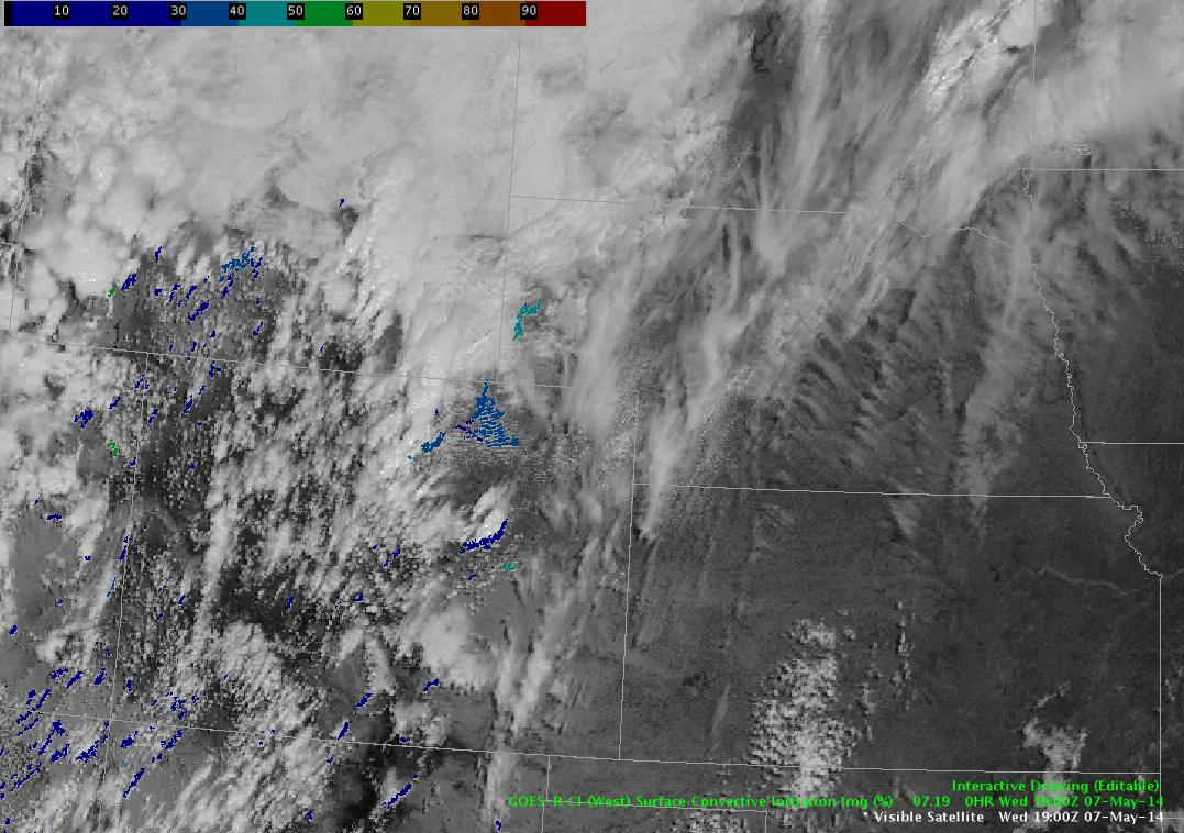
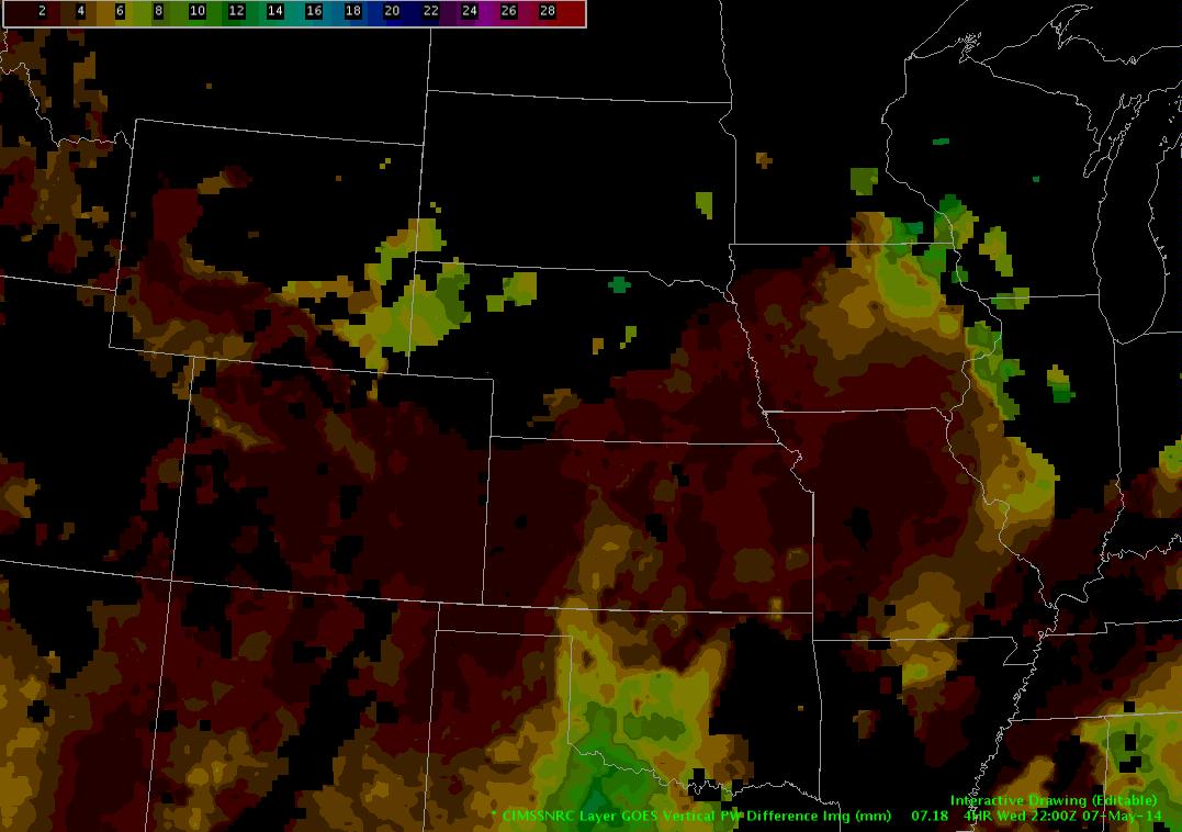
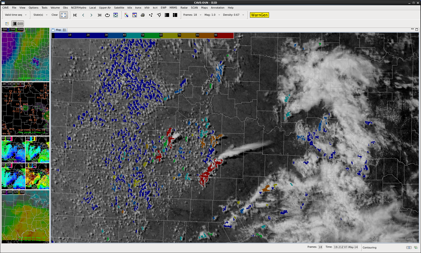
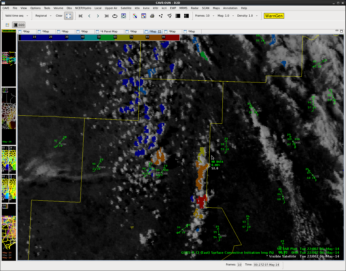
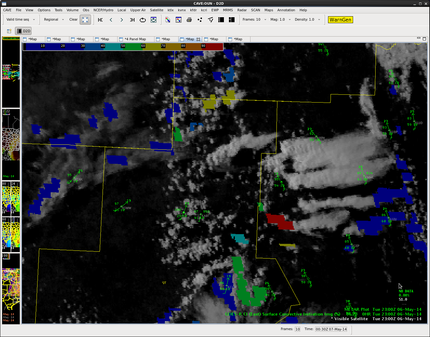
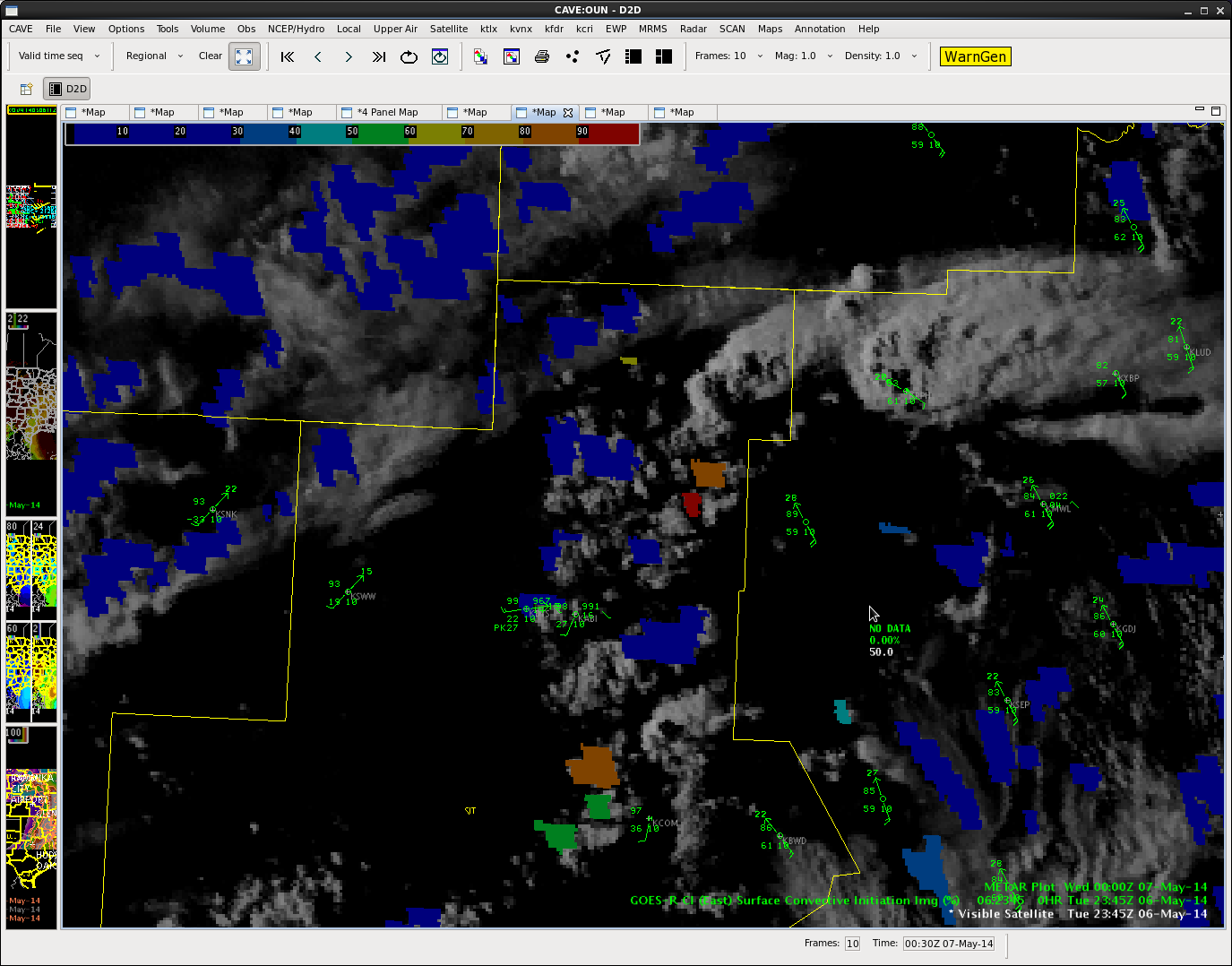
Some thunderstorms have already developed this morning and this trend should continue through this afternoon. Moisture is shallow now, but the column continues to moisten as we progress through the day. The main focus, I believe, will be just east of the region. Temperatures are currently in the 60s and 70s in Northeastern Colorado and Western Nebraska with a little better moisture content. The main low is hanging back over Southwestern Wyoming, but we will begin to see some energy rotate in and around this low later this afternoon. There should be better support for storms as the jet become better established over the region, as well. The tornado threat is on the lower end, while the hail and wind threat would be greater. Low freezing levels would suggest easy formation of hail, especially if we can get some better updrafts (especially outside the meager 40 and 50 degree temperatures we see in Wyoming/Colorado).
Jared Maples