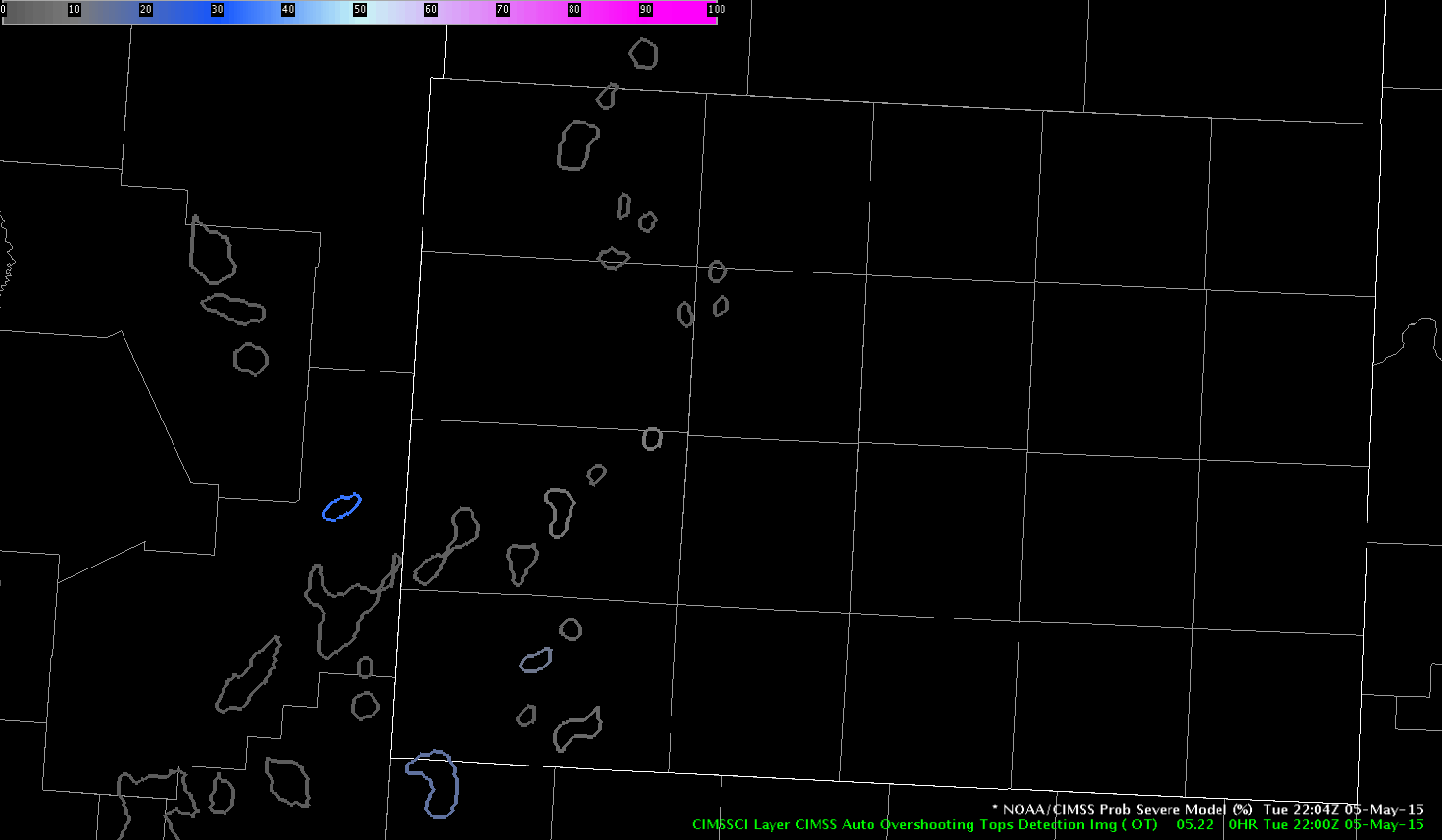
While monitoring the storms just to the northwest of the SJT area, noticed a limitation of the ProbSevere tool, largely due to the processing time. At 2139Z on the KSJT radar, a TBSS was noted on several levels of the radar. With the time lag on the ProbSevere, it was still only outputting a 26% severe probability. But looking at the details below, you can see that the satellite growth around the same time was indicating both moderate and strong and leading to increased confidence in the strengthening storm.

Jumping ahead 2 minutes to 2141Z, the ProbSevere has jumped to 58% with the radar data being processed.

Now moving ahead to the next scan at 2144Z, the TBSS has moved closer to the surface and the ProbSevere has quickly jumped up to 94%.

While this jump has increased confidence, I felt that looking closely at the radar data I would have issued the warning (if it was in our area) before the ProbSevere had made the jump to 94% (would have probably been issued at the same time as the jump).
Finally, looking at the Lightning Cell Time Series data for that cell, a significant jump in the Total Lightning and Cell Area was seen around 2140Z, which matches the significant increase in the radar reflectivity data.

While our group is unable to use the lightning jump algorithm today, I find my self both wishing I was able to use that data but also glad it was able to utilize the time series data to pick up on the significant jump manually. -SRF