ProbSevere and Lightning Jump for SA

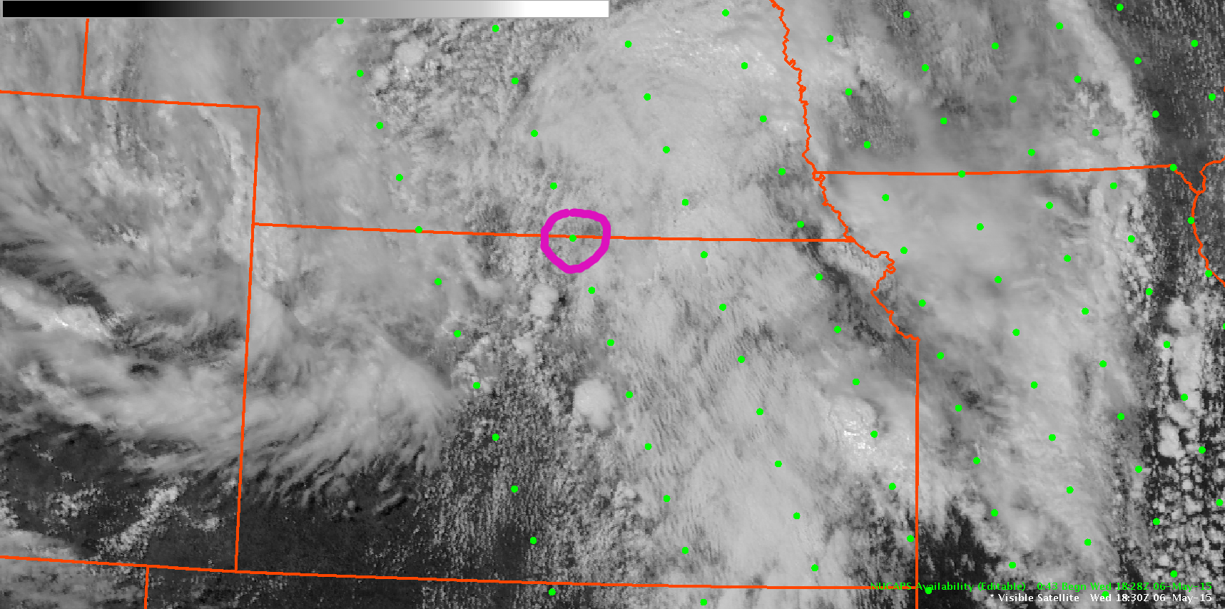
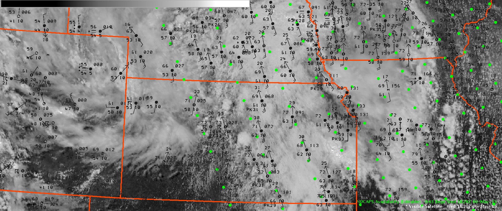
I was focused on warnings for two areas of the cwa and completely missed out on this severe thunderstorm. Looking back, using ProbSevere and Lightning Jump data could be useful in maintaining situational awareness while in warning ops.

This first image taken at 2308Z, shows both the lightning jump and ProbSevere not indicating anything significant with this storm.

20150506_2308Z_LJ_PS

But jumping ahead to 5 minutes to 2313Z, there was a 2 sigma lightning jump as the ProbSevere rises to around 50%.

20150506_2313Z_LJ_PS

Then, at 2323Z the ProbSevere was up to 77% and there was a 1 sigma lightning jump.

20150506_2323Z_LJ_PS

The storm likely went severe shortly after that and a warning was issued later. Having a screen dedicated to those products could be useful in maintaining awareness where there were numerous warnings out. -SRF

Tags: None

ProbSevere success with linear storms in GID area

Multicell structure became more linear late this afternoon and although ProbSevere is more successful with individual cells, it still highlighted probabilities over 80% for many scans. Some cells possessed tornadic signatures in velocity/SRM while others contained large hail cores aloft. The higher probabilities definitely coincided with both hail/tornadoes in this line.

ProbSevereLine_2324Z_050615

Brick Tamland/Veronica Corningstone aka Alexander Darkband

Tags: None

Severe Thunderstorm Warning for Ellsworth KS

Issued a severe thunderstorm warning for Ellsworth county storm based on base data showing a 60 dBz core to 29.5kft and 50 dBz core to 37kft which resulted in a VIL the next volume scan of 60-65 kg/m2.  The ENI flash rate was minimal showing only 12 flashes at the time I started to write the warning and the ProbSevere was showing on 12%.  DTA_ProbSvr_2302

About 7 minutes later the ProbSevere jumped up to 81% but was not helpful in issuing the warning.

Jack Bauer

Tags: None

Large hail probability

Prob of SVR showed 3+ inch hail probability (MESH) since 2230z. Warning issued with core of storm just south of the CWA and massive hail spike.

P.S. Tornado warning in effect for this county. Just north of the building.

large hail

Lynford

Tags: None

NUCAPS Sounding between RAOBs

North Central Kansas was one of the prime areas for severe thunderstorm development this afternoon, but with the the nearest RAOB soundings being Topeka and Dodge City, it was difficult to assess the evolution of the thermodynamic environment. Neither of those sites launched an 18Z balloon today, so the area was lacking any observed thermodynamic profiles. The NUCAPS retrieval at 1828Z occurred when the storms were beginning to develop, and a retrieval point was available on the Kansas-Nebraska border (circled below).

Surface METAR data was overlaid to determine a representative temperature and dewpoint for modifying the lowest levels of the sounding. The sounding was modified for a surface temperature of 69 and a dewpoint of 61 based on nearby METAR observations.  A broken cumulus field was evident on the visible GOES image at 1830Z. There was some concern for the data quality in the cloudy areas, but the quality appeared to look reasonable.  The retrieval indicated a CAPE of 1705 J/KG with no CINH… which supported the breaking of the cap and additional thunderstorm development.

-Daniel Nietfeld


NUCAPS-vis NUCAPS-vis-mtr NUCAPS-skewT

Tags: None

Severe Thunderstorm issued for Harper/Sumner

Severe thunderstorm warning issued based on base data in conjuction with ProbSevere increasing to 80% and shortly thereafter an ENI Dangerous Thunderstorm Alert was issued.

ProbSevere_ENI

ENI_DTA

I think the ENI time series showed well the lightning jump that occurred and helped provide confidence in the warning I was issuing.

ENI_timeseries

Jack Bauer

Tags: None