Single-Radar vs Merged AzShear

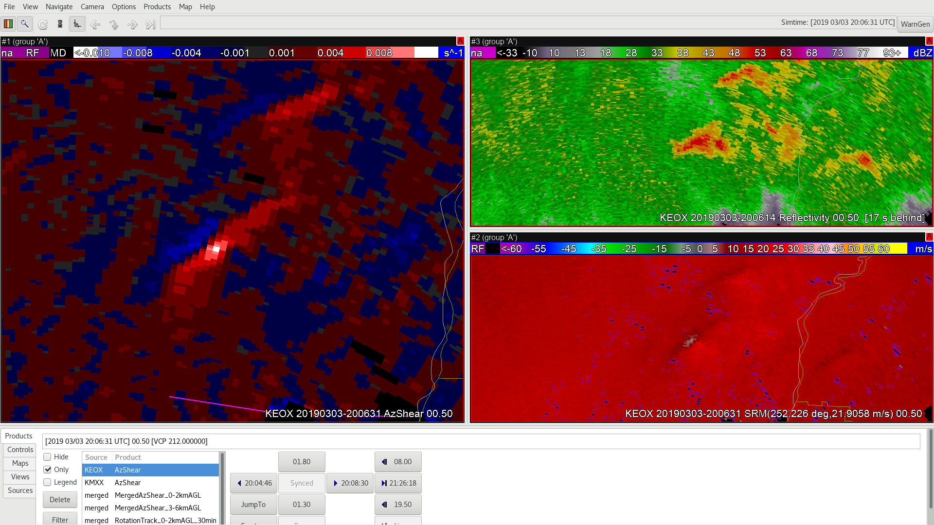
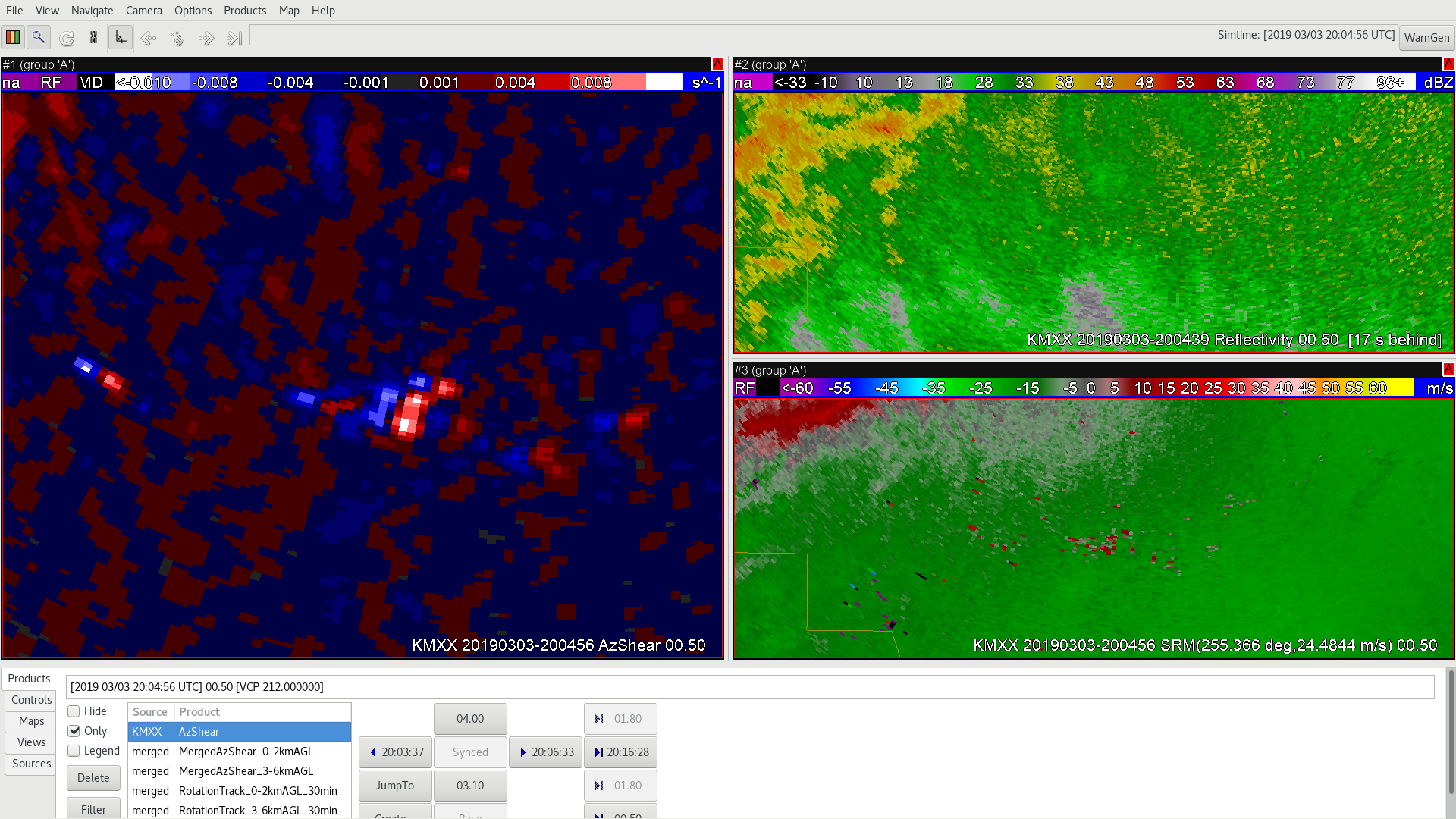
The 0-2km merged Azshear product showed multiple “hot spots” at the beginning of this particular storm. But which one is more important? Below is what the  merged AzShear looked like at 2023Z…

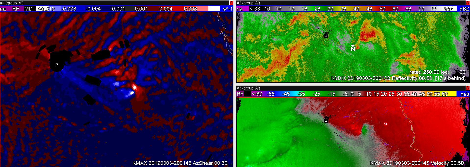
Without looking at velocity data you can’t really tell where the center of the storm is using the merged product. However, here is what the single-radar AzShear looked like around 2023Z…

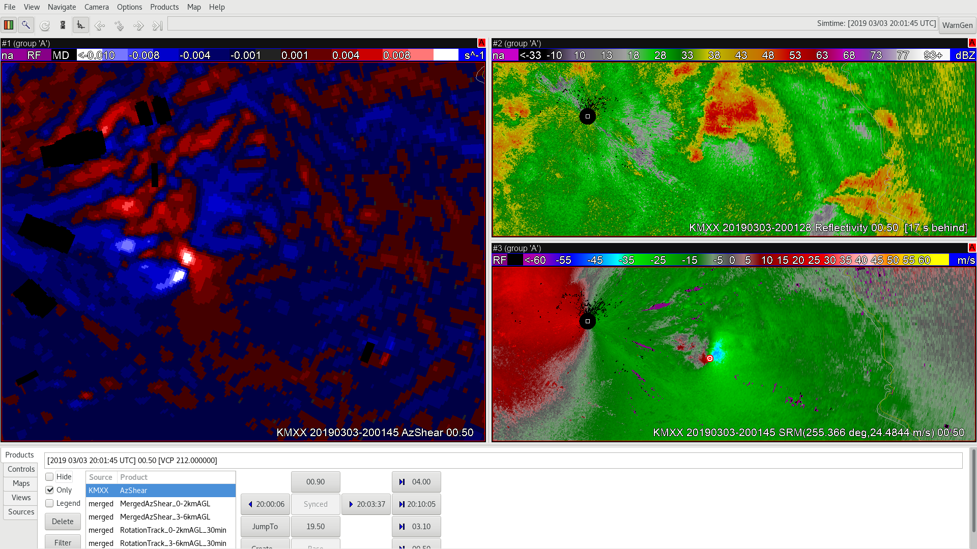
The single-radar AzShear clearly indicates that the southern couplet in the merged product was where center of the rotation was located. This clearly shows how single-radar can provide additional information in a warning situation.

AzShear False Alarm

Here’s a case of a false alarm situation where a tornado was not produced. KEOX AzShear radar draws attention to this circulation that eventually fizzled. Still, it is nice to be able to see the trends later on with AzShear that clearly shows that it would be safe to take my eyes off of this storm as far as tornadic activity is concerned.

ZDR_Arcophile

Early Detection from different radar

Here’s a case for loading data from a different radar, if possible. Over an hour before this seemingly innocuous cell produced a tornado, KEOX AzShear picked up on this, whereas there was not much to look at with KMXX shear. Also not that SRM was not as helpful in early detection as AzShear as well from KEOX.

ZDR_Arcophile


Usefulness of AzShear at the Beginning of a Shift

As a forecaster in the Pacific Northwest, where severe weather tends to be limited, I have had to adjust my perspective of what is/isn’t a strong storm. Most of our tornadic storms tend to be cold core funnels that dissipate as quickly as they develop. I can see AzShear being used as a powerful situational tool for forecasters, especially when storms that have weak rotational signatures.

The image below is relatively close in time to when the simulation started and my eyes immediately went to the “hot spots” in the single-radar AzShear product. It took me all of a couple of seconds to realize that I needed to pay attention to this storm and as soon as I looked at the Z/R products I immediately started thinking that we need to issue a TOR if one wasn’t already issued. This storm is probably a “No Duh!” TOR for almost all forecasters, but being able to see the AzShear product and quickly orient yourself is extremely useful and  when used with other base products can save time in spinning up at the start of a shift.

AzShear useful for short-lived tornado

An example of AzShear for picking up on a weak circulation that later produced a short-lived tornado. This looks quite messy in reflectivity, with a weak circulation showing up on SRM. AzShear directs my attention here, and rightly so.

ZDR_Arcophile

Merged AzShear utility

Very high utility here with the merged AZshear. Merged shear ramped up and after a couple of volume scans, My attention was drawn to an area that I would not have looked at by looking at SRM alone. This proved to be a developing tornadic situation over half an hour later! One caveat is that the area of circulation is not as precise as AzShear, of course.

ZDR_Arcophile


AzShear in Situational Awareness

Here’s an example of where AzShear is VERY useful, especially if there are a lot of storms to look at. Here is a case where the AzShear is quickly ramping up and would alert me to a developing updraft well before I might catch this with SRM alone.

ZDR_Arcophile