The above image illustrates the use of 3d-Var as a potential enhancement in warning lead time. In assessing the Maximum updraft intensity in the upper right panel, we noticed a rapid increase in the magnitude of the storm updraft. MESH at this time was generally sub-severe…but an uptick in MESH is expected as analyses show increasing upward motion on the northern edge of the line segment. As an experiment, we opted to issue a severe warning based mostly in this increase in updraft speed. In retrospect, updrafts of similar magnitude have already produced hail to the size of quarters and larger, so we’re crossing our fingers.
OUN: Don’t put all your chips into one [or two] products…
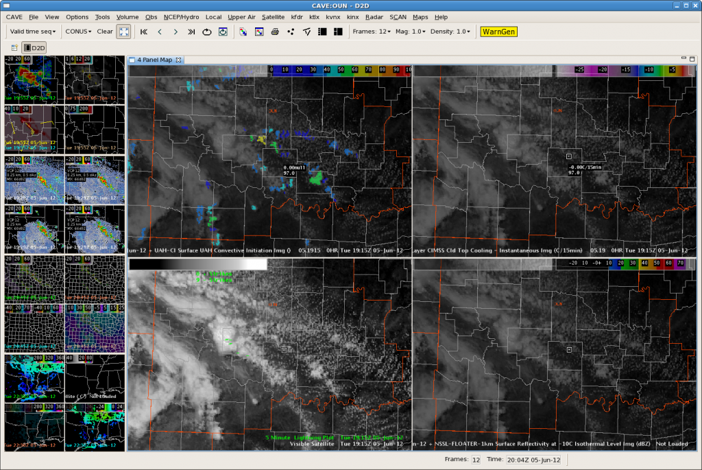
One thing I’ve begun to wonder is will there be a loss of SA when a forecaster sees an area of “potential development”. The image below (Figure 1) illustrates the UAH-CI in the upper-left panel, while the upper-right panel shows the UW-CTC. My concern is that someone might see a CI area in the 60-70% confidence range and lose their sense of SA as they wait for further development…and the CTC algorithm to hopefully pick up on the developing storm.The UW-CTC product is designed to only pick up on the stronger development…which could easily lead to missing weaker convection. Not only that, but if any bit of the anvil goes near another developing cell…the algorithms will not pick up the newly developing thunderstorms…could end up to missing a warning.

OUN: GOES-R Proxy Miss!
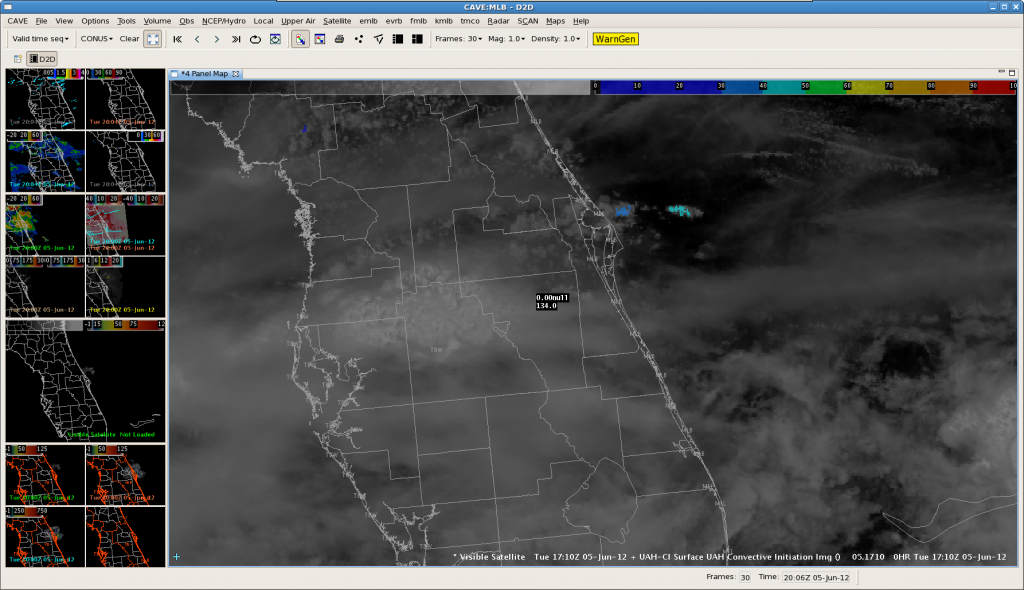
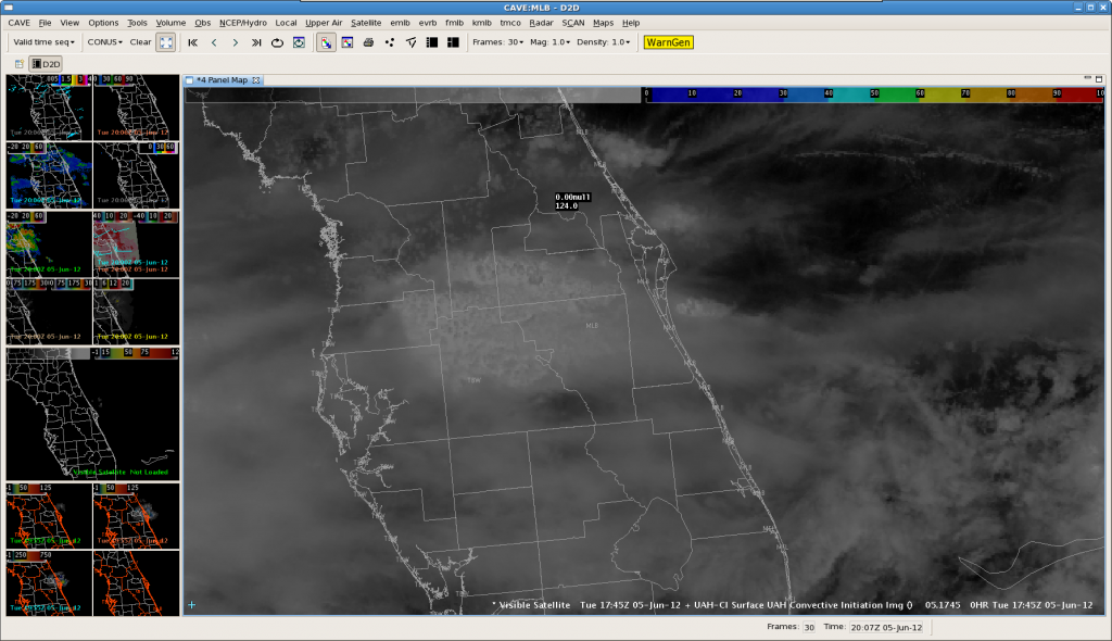
Evaluation of UAHCI early on in MLB
Looking across FL, much of the area was obscured by thick high clouds, making the CI products impossible to calculate/use. However, at 1710Z, the UAHCI algorithm did indicate possible CI just off the eastern FL coast, with a relatively low strength of signal of 30-40. Of note, the UWCTC algorithm did not hit on this cloud mass at all. As the follow image at 17:45Z shows, the band of clouds with a low SOS did not develop and actually diminished. This is within the expected outcome given the low SOS. -GS
MLB: Checking out the RGB Airmass GOES Sounder product
Thunderstorms over our region are fairly tame at the moment, so I began checking out some other interesting products. Here is a shot of the RGB Airmass product produced by the GOES sounder. GOES-R will have a similar image. This basically takes information from four different wavelengths and combines them into one image. Reddish colors here are high PV air associated with the jet…notice the band across the western Great Lakes. Blue indicates a cooler airmass with associated midlevel clouds…notable across the northeast US. Greenish colors are thicker low-level clouds with a more moist airmass…not surprisingly, the southeast US shows this. Yellowish colors, such as over the Pacific Northwest, are low-level clouds in a cooler airmass. White areas are deep cloud decks, often over convection, like Florida and the eastern Gulf. Looping this product can show airmass movement and jet position/structure. This can be useful as a check against NWP models. I’ve posted both the RGB product (top) and the normal IR image at the same time (bottom) for comparison. CL
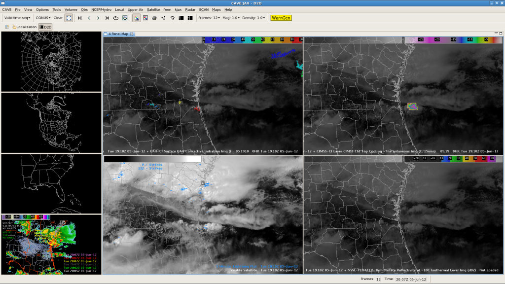
JAX:Cloud top cooling and marine supercells
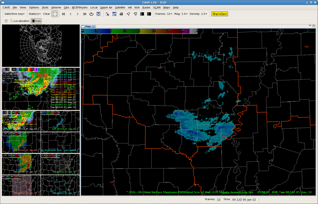
LZK: PULSEY STORMS
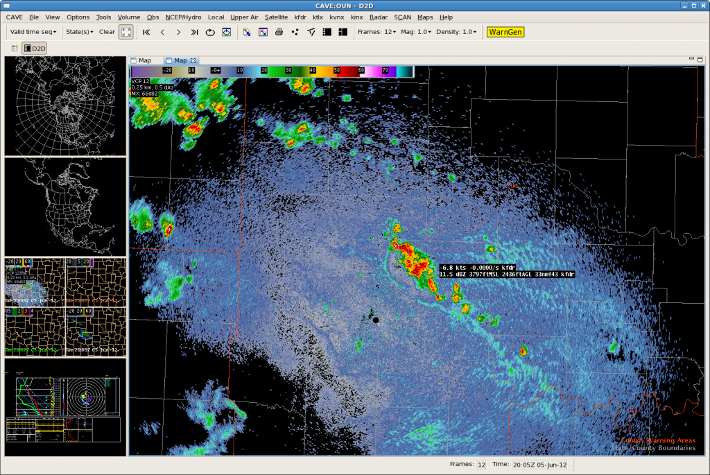
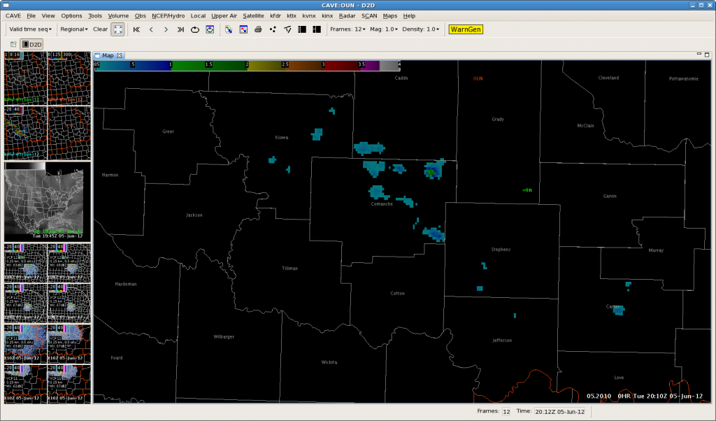
Storms have been pulsey this afternoon. 19Z OUN WRF did not accurately diagnose the decaying storms. Instead daytime heating has allowed the storms to increase, and some have become briefly severe. Though wind has been the primary threat as a convective line has bowed eastward at the edge of the CWA, there were some indicated areas of severe hail in the MESH data. Below shows the 2-hour Maximum Estimated Hail Size.
LUB: Day 1 – Getting Familiar with Products
Shortly after entering the lab, thunderstorms quickly fired up over our area of responsibility. While getting familiar with the new forecasting and diagnostic tools, we were quickly thrown into a “warning operations” situation.
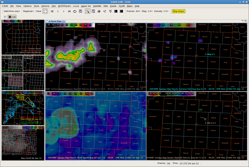
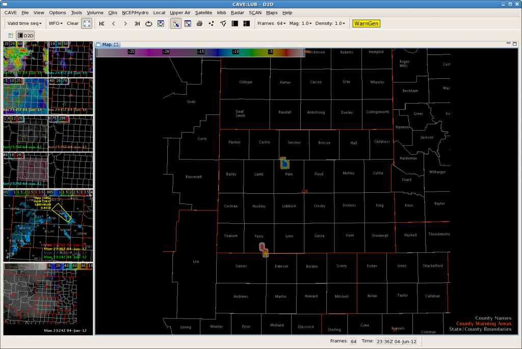
The OUNWRF did a fairly good job handling the timing and location of convective initiation this afternoon (Figure 1). Along with using the OUNWRF, we also tested the UW-CIMSS Cloud Top Cooling tool. The UW-CTC tool did a great job picking up the areas of developing convection across the CWA This afternoon. UW-CTC algorithm seemed to have only two”false alarms”, one of which being the result of some high clouds. It was pretty easy to identify the “false alarm” as the CTC rates were extremely low (on the order of -5C/15min), compared to CTC rates around -20C/15min (observed with most of the developing activity).
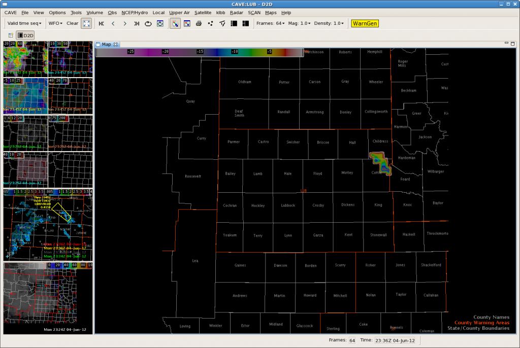
The second “false alarm” occurred when the CTC algorithm tagged a developing storm with CTC rates from -15 to -20C/15min (figure 3). After warning on this storm, we waited for LSRs and never saw a report to verify the warning.
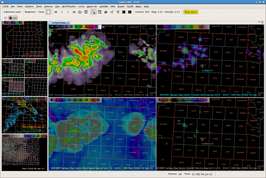
Despite a couple of false alarms, we were very pleased with the performance of the OUNWRF with respect to the storms becoming outflow dominate and producing more wind damage than hail. We received wind gust reports greater than 60mph in the LBB area, as well as numerous downed trees. Figure 4 below illustrates the surface max hourly wind speed. Typically winds greater than 20m/s should raise heightened awareness and the potential for damaging winds.
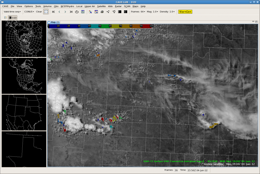
Had we a little more time to become familiar with the products and get “spun up” with our procedures and whatnot…the Convective Initiation tool would have helped us greatly. Figure 5 below shows the CI application combined with vis sat imagery. The algorithm picks up the CI very nicely…this storm eventually blew up and was one of the larger storms of the day. The storm produced very large hail.The UAH-CI application continued to be quite helpful to us during the rest of the shift.
AMA: Warn on CI “miss?”
We have issued a couple warnings on marginal storms that did not give strong CI signals. On this image, I warned on the middle cell in Hansford County (reflectivity on bottom left). Note the lack of instantaneous or accumulated cloud top cooling for this area. We are looking for downburst winds and maybe some subsevere hail from this storm. The CI algorithms have been doing well in other CWAs like Lubbock, but may have missed one here, pending verification. CL


