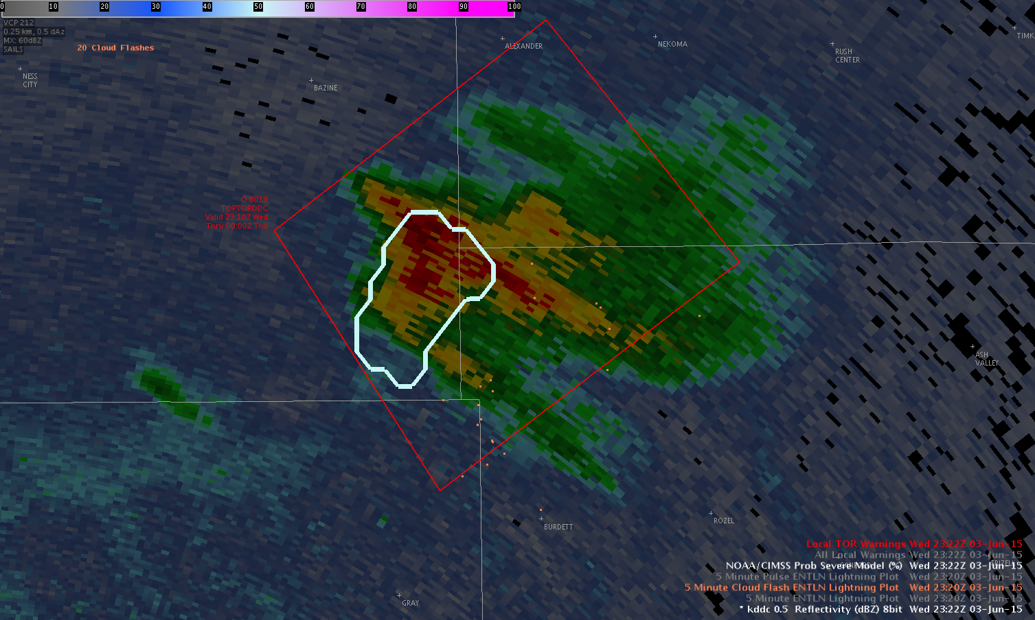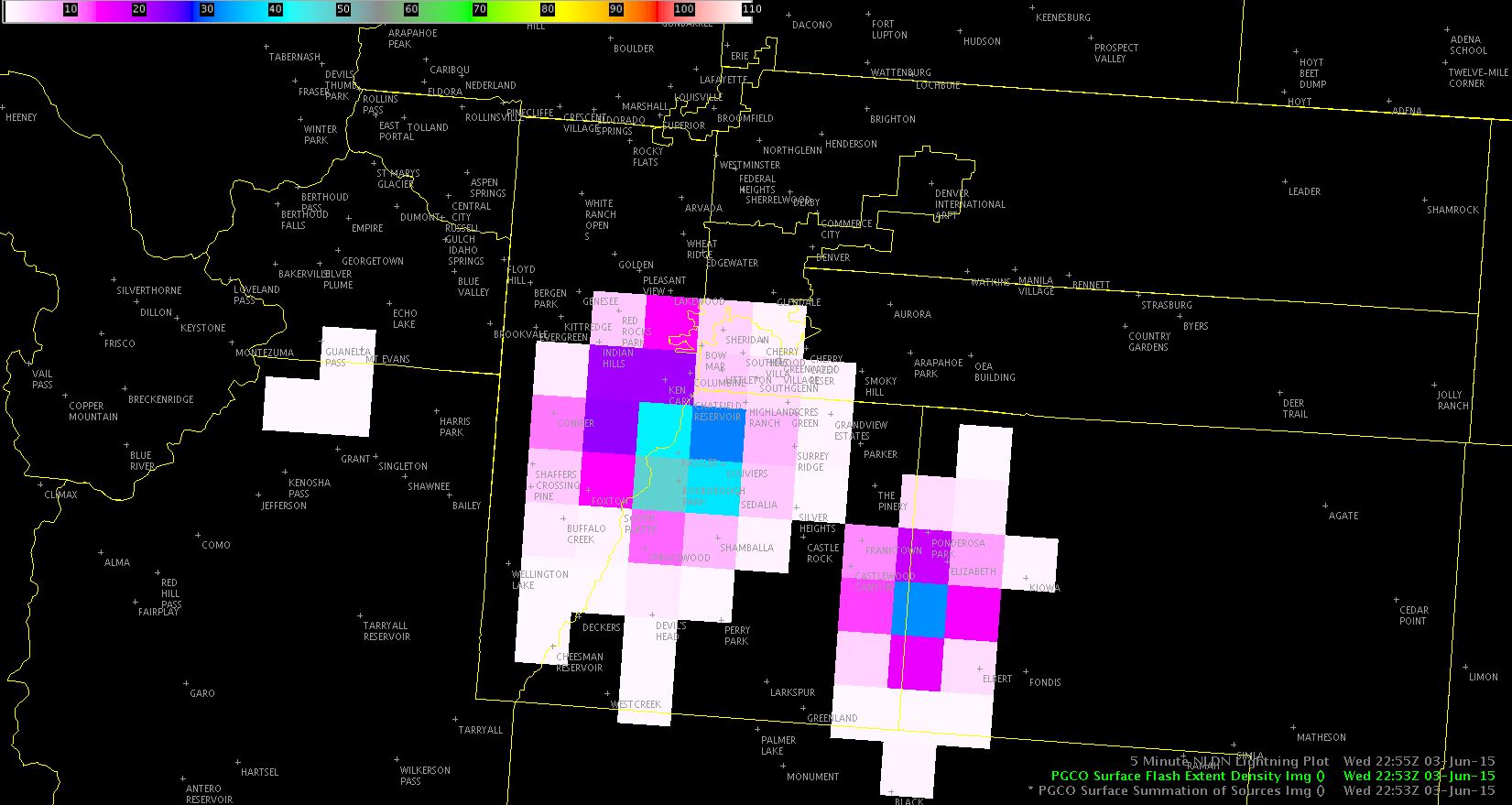
The storm south of DIA has a very obvious core, but of note is how far away lightning is being observed from the parent updraft. NLDN shows a CG in the upper-right part of the lightning field, which is a very long distance from the main storm. In fact, there isn’t even any rain falling at that distance.
Jason Williams
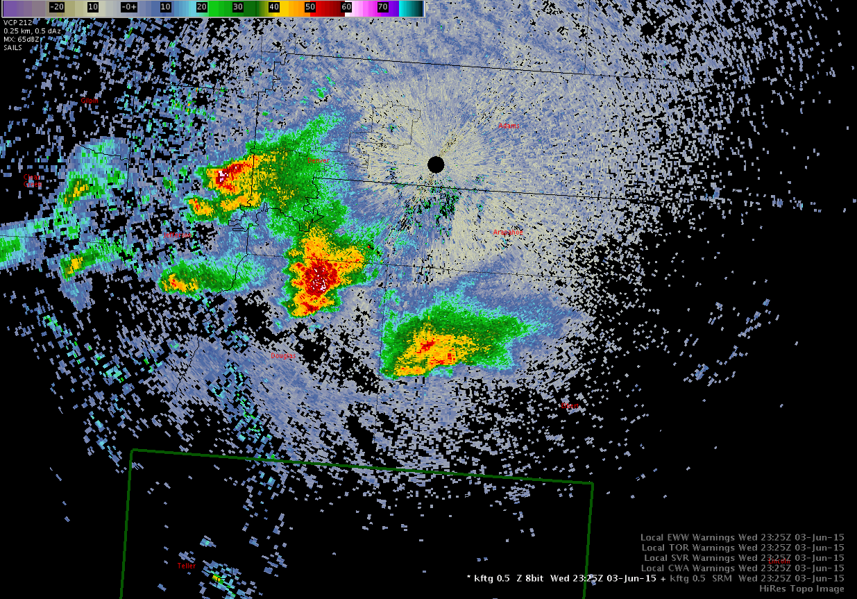

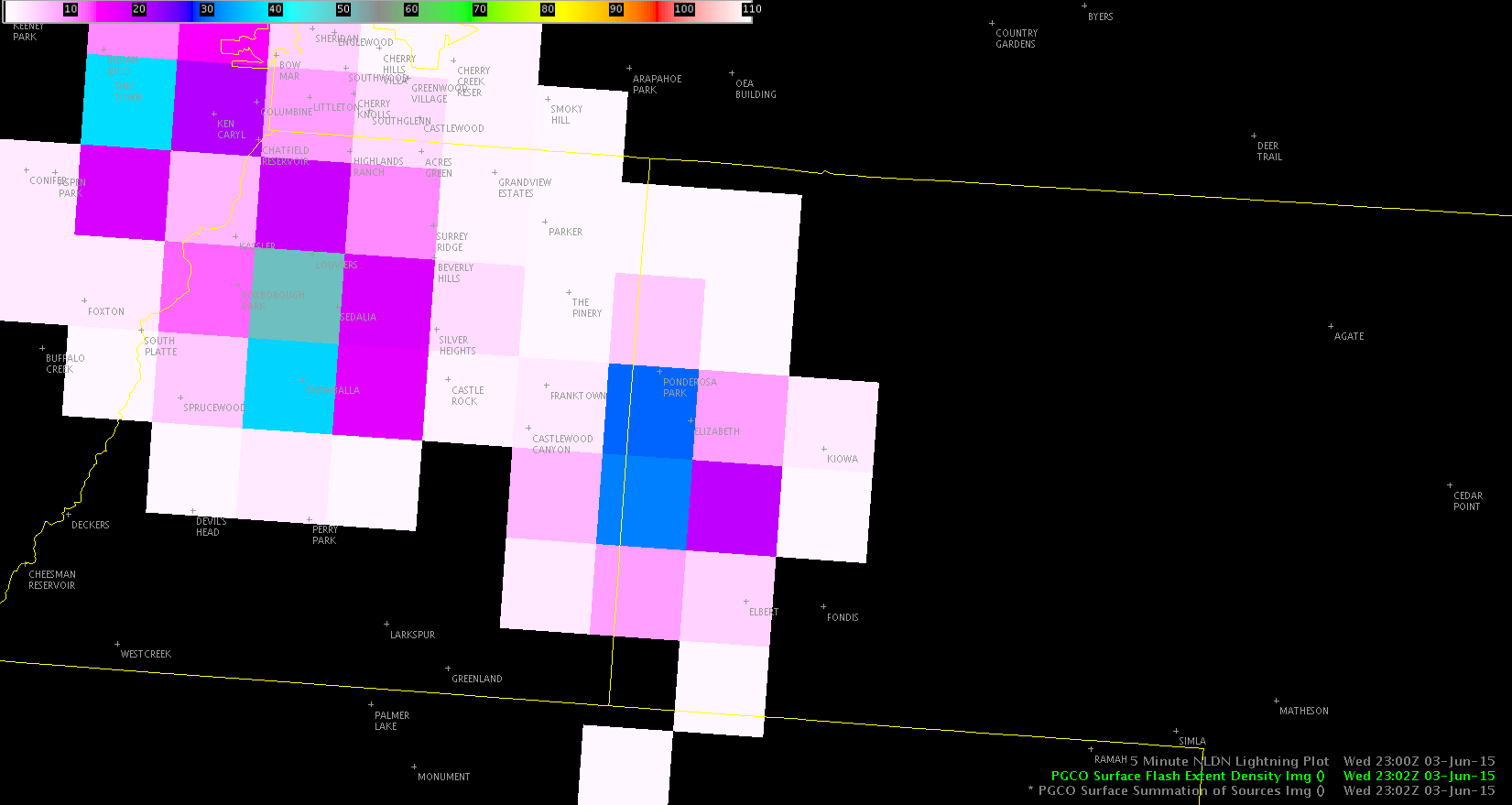
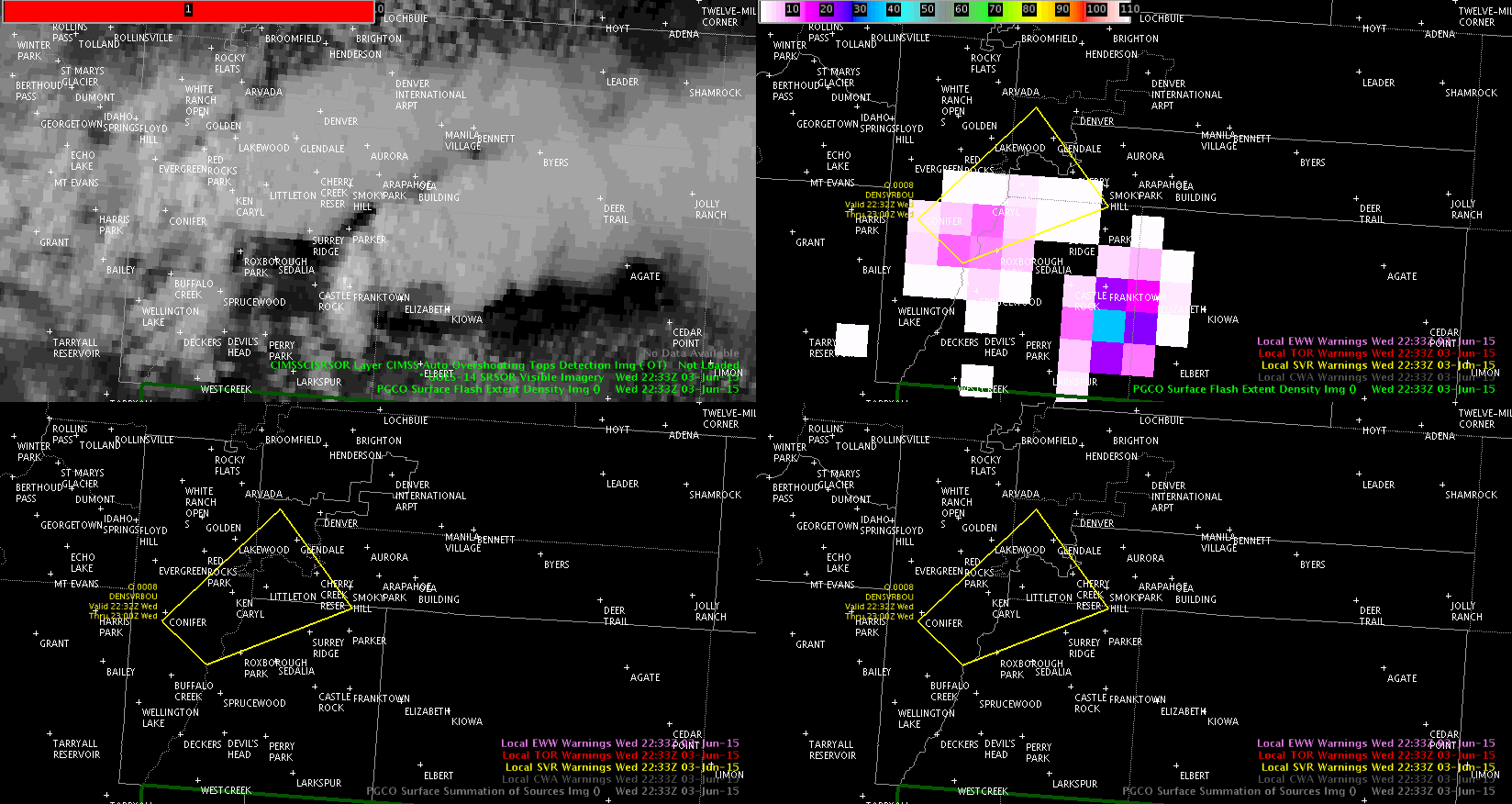
 2317z radar
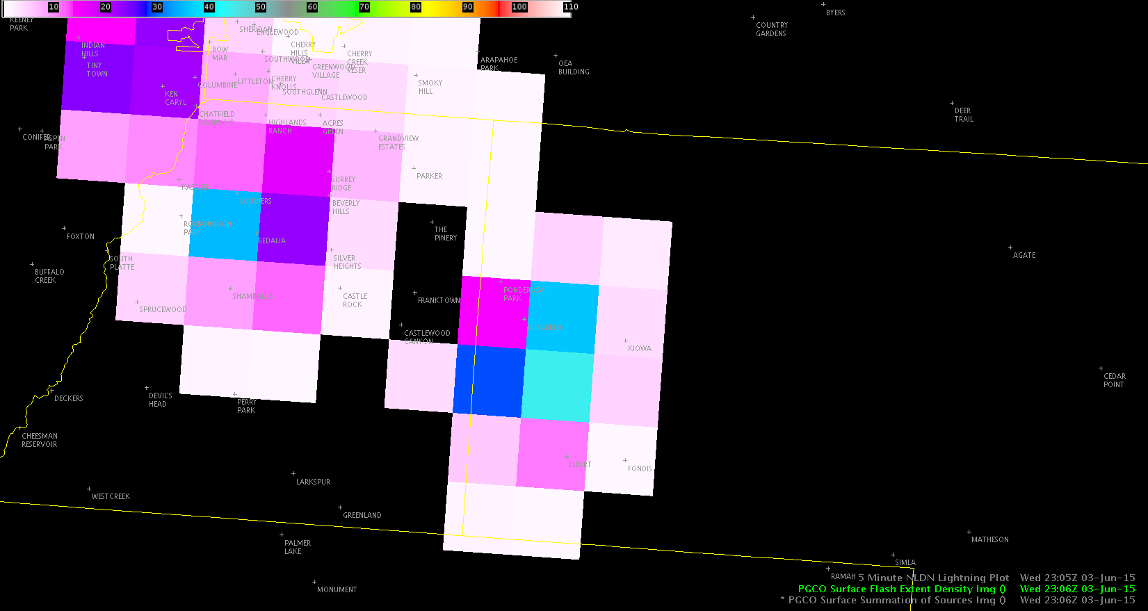
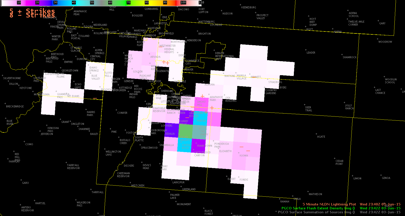
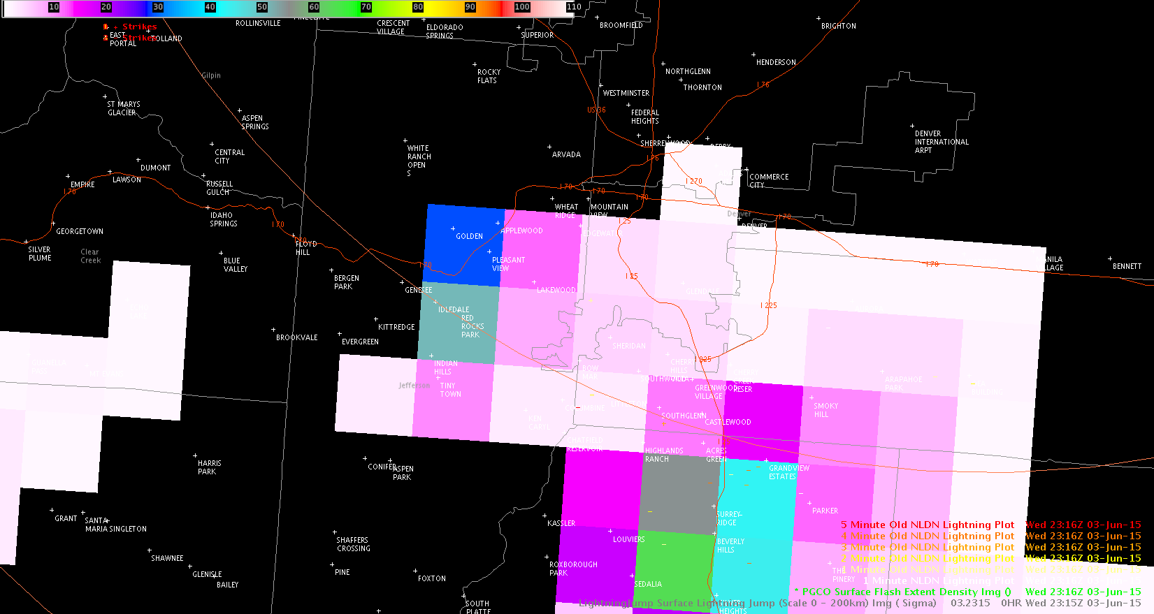
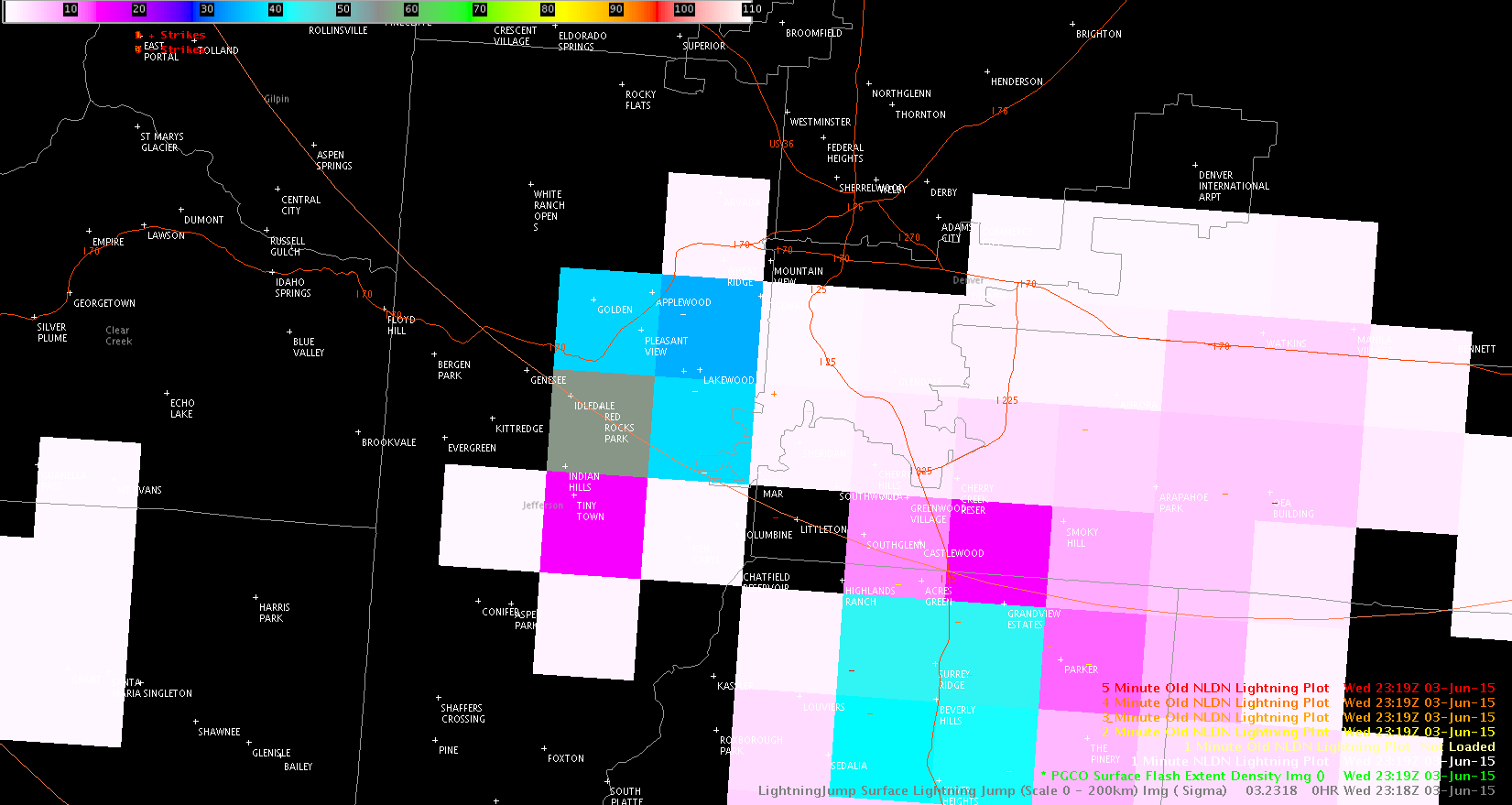 2319z PGLM
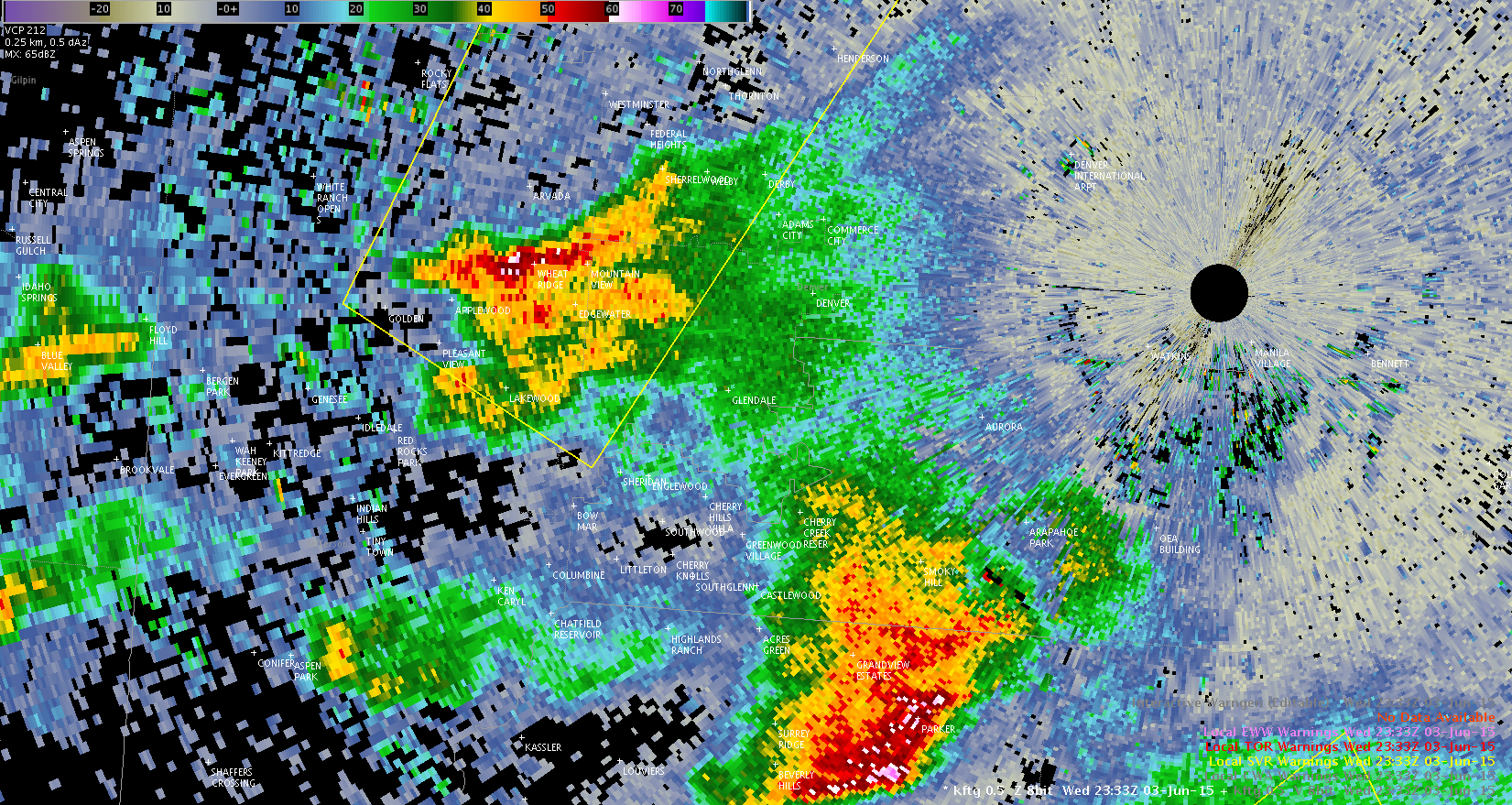 2333z radar
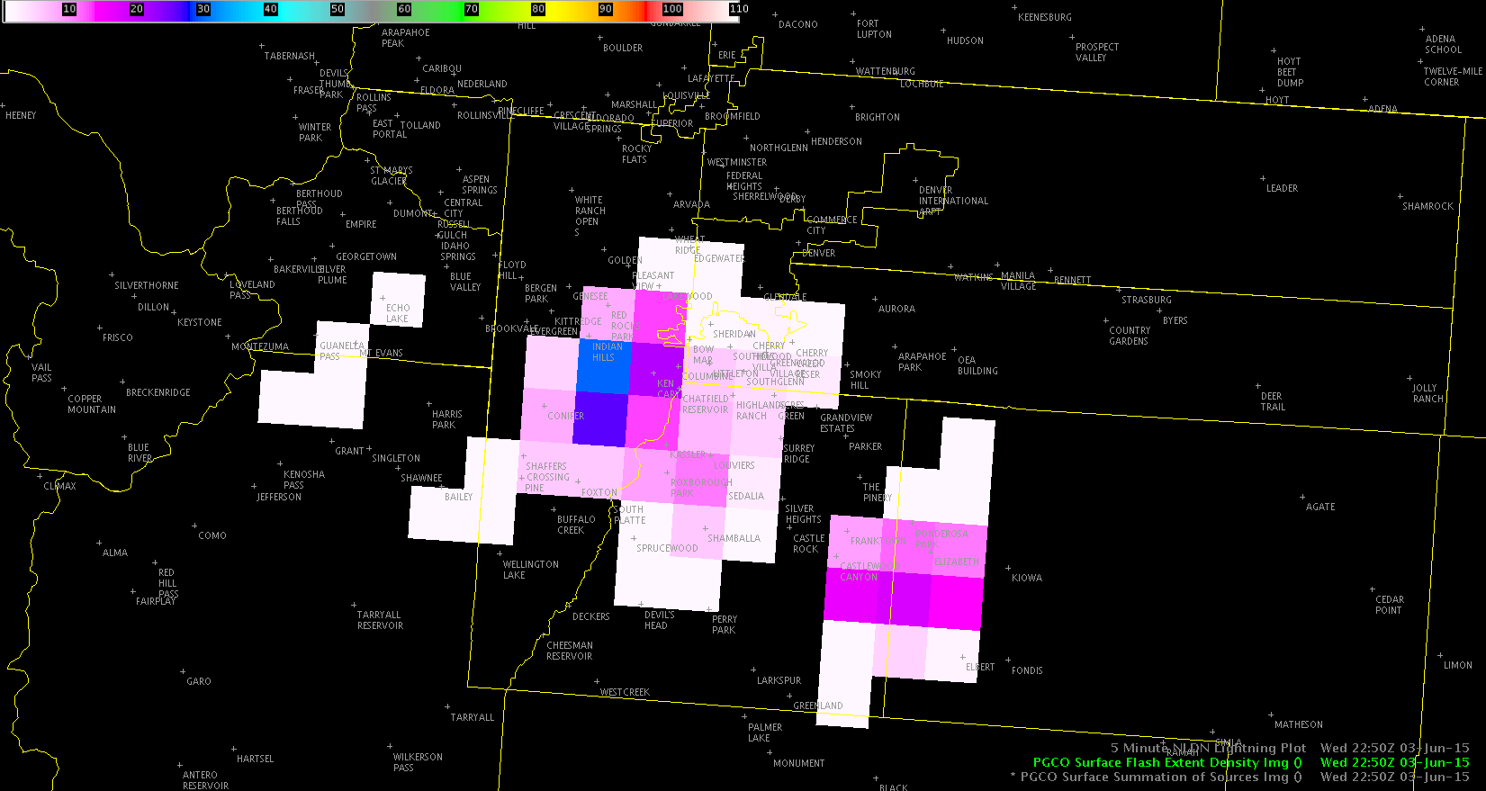
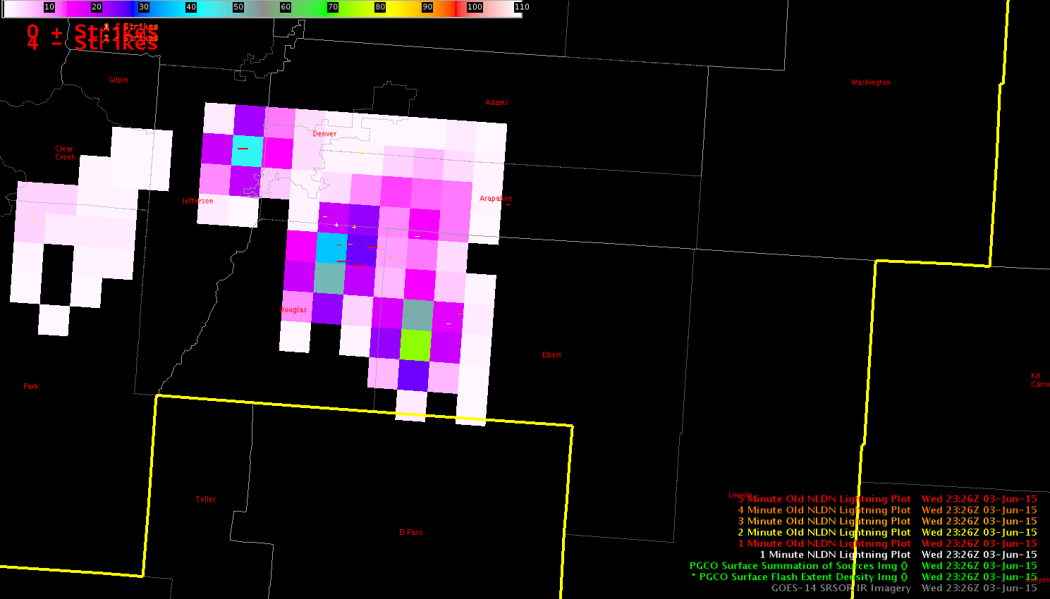