LBB: Still Waiting For Storms

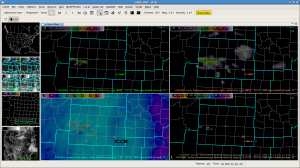
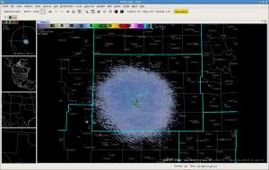
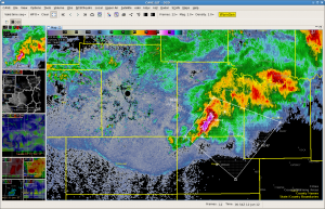
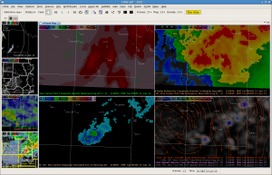
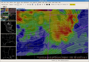
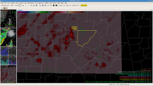
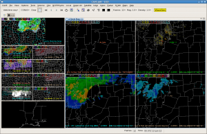
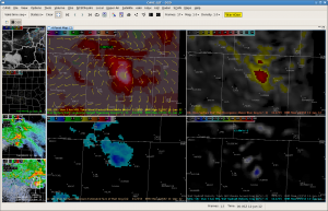
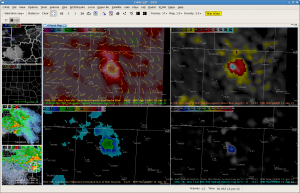
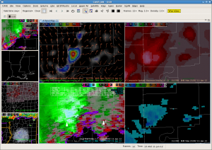
Storms have had a hard time initiating this afternoon. In fact, very little has occurred since 2 pm. The OUN WRF has continued to initiate thunderstorms early, as shown below:

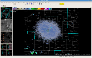
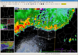
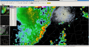
The 88D at the same time:

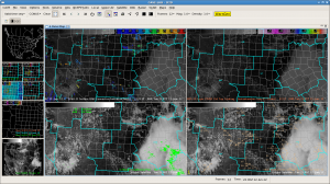
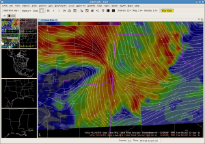
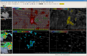
Subsidence behind the MCS moving through central Texas continues to expand toward the southwest. The cumulus fields that were present quickly go away:

However, the winds over our southeast border have become more out of the southeast with occasional gusts over 30 mph. We are still hopeful that CI will occur over the next 1 to 2 hours. The most likely area for initiation will be over eastern New Mexico, which has shown more development based on the visible satellite.

Tags: None

Waiting For First Echo in Lubbock

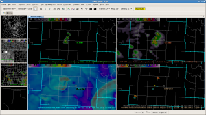
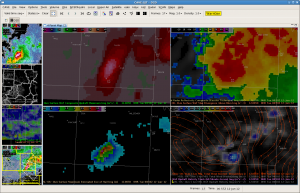
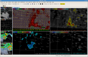
The OUN WRF is running a little behind with it already showing CI at 1945z.

Here is the LBB radar at the same time:

We believe that the ongoing convection over the central Texas may be hindering CI. We also believe that the location of initiation will be correct, just ~2-3 hours later.

Ty/Tim

Tags: None

SJT – Brownwood SVR

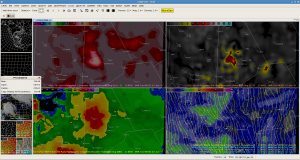
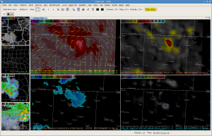
3DVAR data shows moderately strong updraft with storm moving through Brownwood with the storm moving

along convergence axis seen with 1 km Total Wind streamlines. MESH/VIL have only indicated marginal severe hail.

Tags: None

Another Warning For Concho County

Two storms decided to merge over southern Concho County, and the MESH rapidly increased from 1 inch at 0034 to over 3.5 inches at 0044! Although the max updraft did not increase in the 3dvar until the volume scan after the MESH went to 3.5 inches, the updraft helicity did start to increase at 0039…corresponding to the same time the 1km wind vectors converged.Went with a new warning with 80 mph winds and 3 inch hail. MRD/TT

Merger:

0034z:

0040z

0045z:

Tags: None

JAN: Challenging warning for damaging wind threat

We issued a warning at 0013 UTC based on reports of damaging wind near Starkville in eastcentral MS. Base velocity from KGWX was unavailable for a few scans around this time and may have affected the 3DVAR. When the KGWX data coming back in at 0007 UTC (didnt see until later), some 50-55kt velocities were seen at 1000ft AGL. The fast forward motion of the leading edge of the storms in reflectivity was moving at 50 mph but the high reflectivity did not extend very high aloft. The MRMS MESH did not show any values > 0.75″ as well as legacy cell-based 88D hail algorithms. The 3DVAR 1km winds were SW at 10-15 m/s in this area, but sfc obs and storms reports had north winds around 62 mph.  Lost the screen capture of the 3DVAR and MESH.

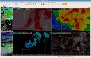
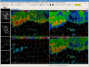
Update 0042UTC: Here is the MRMS 4 panel for the warning issued 30 minutes earlier. Note the low reflectivity aloft and small MESH.

Update (0053 UTC): Got the 3DVAR data back into AWIPS2. Now we can show the before and after effect of the lack of KGWX data on the 3DVAR wind. Without KGWX, the 3DVAR winds were 10 m/s from the SW at 0015 UTC.

With the addition of KGWX, the winds 25-32 m/s from the north at 0020 UTC.

Tags: None

HUN Warning Decision Discussion/NowCast #4 1913 CDT Monday 11 June

WoF updraft max indicating increasing updraft strengths along the line of storms moving east across Winston County.  Based on this, slight up-trend in pGLM lightning with that storm, and with NEXRAD data showing increasing strength…issued SVR for Cullman county.  To the north, trends indicate weakening with stronger convection and winds 30 to 40 mph being reported.  Expect this trend to continue.

EWP Forecasters Garmon/Skov

JAN: Cone of Silence Rears its Ugly Head

While monitoring the severe Thunderstorms moving through the Jackson, MS CWA the echoes suddenly disappeared.

It appears that this occurred because the floating domain (Alabama) did not include the Slidell 88D, which would have been used to fill in that empty space. Snelson/Ty

Update (0053 UTC): Got the 3DVAR data back into AWIPS2. Now we can show the before and after effect of the lack of KGWX data on the 3DVAR wind. Without KGWX, the 3DVAR winds were 10 m/s from the SW at 0015 UTC.

With the addition of KGWX, the winds 25-32 m/s from the north at 0020 UTC.

Tags: None

SJT–Warning #3

Decided to issue another warning on the Concho county storm. However, not to confident. In fact, the updraft and MESH have both decreased — it certainly does not look at good as the 1st warning. Main reason for the warning was due to the possible downburst as seen in the 0.5 velocity image (but not in the 3DVAR wind speed). MRD/TT

Here is the image from 2340:

Here is the image from 2345 — warning issued at 2346.

Tags: None

SJT — Warning #2

Amazing storm over northern Colman County at least when looking at the max updraft fields. Saw a rapid increase of max updraft going from around 15 at 2250 to 29 at 2300. MESH increased to less than .75 inch at 2250 to over 2 inches at 2300…with max div abv 8km above 23. Needless to say we warned — just looking for reports now. MRD/TT

2250z:

2255z:

2300z:

Tags: None