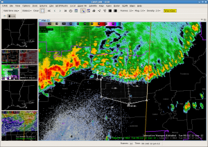
We issued a warning at 0013 UTC based on reports of damaging wind near Starkville in eastcentral MS. Base velocity from KGWX was unavailable for a few scans around this time and may have affected the 3DVAR. When the KGWX data coming back in at 0007 UTC (didnt see until later), some 50-55kt velocities were seen at 1000ft AGL. The fast forward motion of the leading edge of the storms in reflectivity was moving at 50 mph but the high reflectivity did not extend very high aloft. The MRMS MESH did not show any values > 0.75″ as well as legacy cell-based 88D hail algorithms. The 3DVAR 1km winds were SW at 10-15 m/s in this area, but sfc obs and storms reports had north winds around 62 mph. Lost the screen capture of the 3DVAR and MESH.
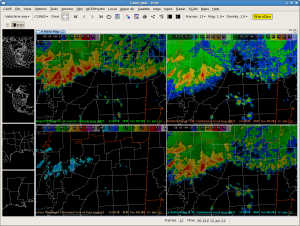
Update 0042UTC: Here is the MRMS 4 panel for the warning issued 30 minutes earlier. Note the low reflectivity aloft and small MESH.
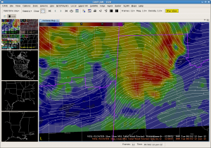
Update (0053 UTC): Got the 3DVAR data back into AWIPS2. Now we can show the before and after effect of the lack of KGWX data on the 3DVAR wind. Without KGWX, the 3DVAR winds were 10 m/s from the SW at 0015 UTC.
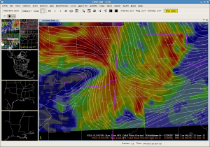
With the addition of KGWX, the winds 25-32 m/s from the north at 0020 UTC.


