HUN Warning Decision Discussion/NowCast #3 1833 CDT Monday 11 June

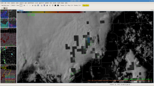
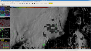
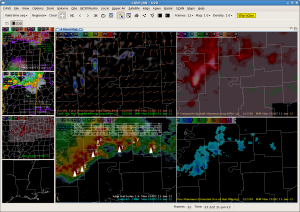
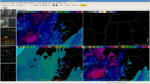
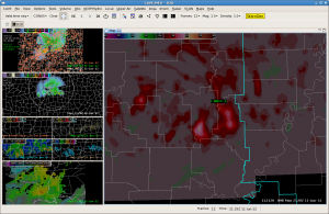
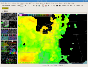
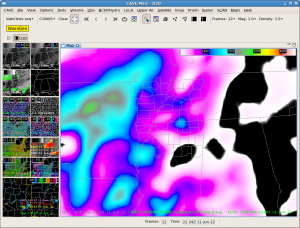
Thunderstorm line moving across Lauderdale, Colbert and Franklin counties starting to indicate potential of weakening slightly next 1 to 2 hours.  Storms are initiating along the leading edge of a strong cold pool…and that process will continue farther east into the current SVR tstm warning polygon.  WoF indicating updraft strength weakening slightly past few passes, and the lightning rates have shown a decrease over the past 4 passes.  Expect to see 50+knot winds along and behind the bow to continue being brought down at times next hour…but for areas farther east suggested to have a slightly more stable airmass in place in the GOES Vertical Theta-e Diff Low-Mid imagery…which would suggest the threat might diminish as the storms approach the Cullman and Huntsville areas.  Stay tuned.

EWP Forecasters Garmon/Skov

EWP Forecasters Garmon/Skov

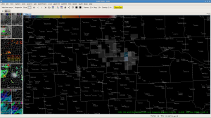
JAN: Comparison of 3DVAR/MRMS with 88D legacy hail guidance

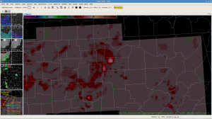
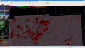
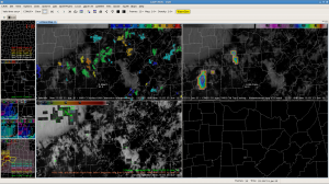
A fair discrepancy between 88D hail algorithm output and MRMS MESH and by proxy of updraft and helicity, the 3DVAR. At 2307 UTC, KDGX showed 5 storms with max hail of 1.00-1.75″ and POSH of 70% or greater (2 storms have 90% POSH).  Yet the MESH at 2310 UTC shows only a small area of >1.00″ hail in Bolimar county, MS. The max updraft is > 20 m/s in this same storm, which might imply even larger hail.  FWIW, since this is our first day. Once we get to discuss these fields with experts, perhaps we’ll better understand the MESH grids.

SNELSON/TY

Tags: None

SJT — Warning #1

Switched from TSA to SJT to concentrate on areas of ongoing convection.  Immediately found a storm over NE Concho County and opted to warn with rapid increases in Max Updraft of nearly 23 and MESH of 1.5 in. MRD/TT

Tags: None

HUN Warning Decision Discussion/NowCast #2 1733 CDT Monday 11 June

UAH_CI and CIMSS Cld Top Cooling imagery indicating potential for stronger storms over southwestern forecast area…mainly Franklin, Lawrence and Cullman counties next hour or so.  Continue Severe Thunderstorm Warnings for Franklin and Colbert counties but threat passing south of Limestone county.  May see shallow spinnup on the leading edge of the bowing structure moving into Red Bay area…but nothing to warn on for tornadoes right now. 

MCS in MEG – warning decision making #3

We have observed the cell warned in our wdm #1 post is showing a nice bow. Warning polygon issued below.

Looking at 3DVAR 1km wind field. Again we are seeing 50-55kt winds at 2220 UTC in Phillips county AR just west of the MS river.  Between this and the sharp reflectivity gradient and strong base velocity (even from KLZK more than 60nm away), feel good about mentioning a 70mph wind bag.

Also saw a near 60dBZ echo at -20C in Quitman county, MS and 23 m/s max updraft in Coahoma county, MS at 2216 UTC and 2225 UTC.

Cold pool and high CAPE allowing for MCS to accelerate and turning a little more to the south into JAN CWA. Flow aloft a little more NWly in this area but shear should be weaker as well. Main threat should be damaging wind.

SNELSON/TY

Tags: None

HUN Warning Decision Discussion/NowCast #1 1705 CDT Monday 11 June

CIMSS_NRE Vertical Theta-e Difference forecast fields showing deeper layer instability ahead of the squall line moving southeast across Mississippi and will increase across Northwest Alabama over the next three hours.  We don’t expect a lot of weakening of the strong to severe storms along the line moving southeast passing north of Tupelo into NW Alabama.  CIMSS CI-Layer cloud top cooling rates now around -23C indicative of strong updrafts in storms north of Tupelo…and NSSL-NAL pGLM 1 minute composite showing an increase to 4 over past 5 minutes…and increasing updraft strengths.  Given the environment, we expect to see an increased risk of severe storms with damaging winds in excess of 60 mph, frequent lightning over Franklin Colbert and Limestone counties over the next 1 to 2 hours.  Storms over northern Mississippi past half hour still indicating localized winds to near 70 mph, according to spotter reports out of the Memphis NWS Foreccast Office.

EWP Forecasters Garmon/Skov

pGLM increased to 15 flashes on next pass.

MCS in MEG – warning decision making #2

Looks like we “missed” a wind event in Tippah county, MS.

0449 PM     TSTM WND DMG     RIPLEY                  34.73N 88.94W
06/11/2012                   TIPPAH             MS   TRAINED SPOTTER

            NUMEROUS TREES DOWN COUNTY WIDE. LARGE TREE REPORTED ON A
            MANUFACTURED HOME. ESTIMATED GUST OF 70 MPH.

Looked at the 3DVAR 1km wind field and simulated reflectivity (shown below) valid 2140UTC (440 PM CDT). Surprised to see a 60kt wind on the northern border of Tippah county on the TN/MS border. KNQA is about 60nm away from this point. Not sure how accurate the 60kt estimate is that far away from the closest radar. The report is pretty vague to begin with also. Nonetheless, very impressed that 3DVAR had indications of damaging winds.

Also looked at MRMS swaths of hail, updraft, rotation and updraft helicity. At 2145UTC, some support for hail and perhaps wind.

Did receive a report of nickel size hail from this area, but nothing bigger so far.

0449 PM     HAIL             RIPLEY                  34.73N 88.94W
06/11/2012  E0.88 INCH       TIPPAH             MS   TRAINED SPOTTER

            NICKEL SIZE HAIL REPORTED NEAR RIPLEY

SNELSON/TY
Tags: None

TSA — Looking for CI

Looking at the various CI products for the TSA CWFA. With the strong EML, it may be tough for the cap to break today with sfc temps only in the lower 90s. Seeing a little more organization in the UAH CI product along the front, but it is possible that we will need to switch domains in the next hour or so if we do not see better development. MRD

Tags: None

MCS in MEG – warning decision making #1

Began using the 3DVAR and MRMS data. The max updraft jumped over Monroe county to 17-19 m/s. This is along the leading edge of the MCS over the higher CAPE over eastern AR. A nice swath of 0.5-1.25 in MESH along this NW to SE oriented path is associated with this cell. Now that this cell is crossing into the MEG warning area, have issued an SVR for 60 mph winds and hail to half dollar size, based on the history of MESH, and a favorable, high CAPE environment. If the warning had a longer time period (1-3 hours), we might “draw” a longer-duration polygon based on the swath with larger hail potential (1.5-1.75 in).

Tags: None

MCS in MEG – storm environment

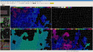
Started looking at NEARCAST 780-500mb CAPE vs RAP13 (aka RUC13) 850-700mb computed CAPE. 2hr fcst valid 2200UTC. Realizing that we cannot compare these two fields 1-for-1, the NEARCAST CAPE seems more accurate compared with the location of the MCS precip and cloud field.

See the vis satellite image and obs from 21Z for more “truth”.

We expect the storms along the leading edge and flanking edge to the west of Memphis along I-40 to continue to intensify. Will continue to watch the NEARCAST and CI images for new trends.

SNELSON / TY

Tags: None