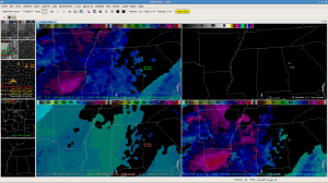
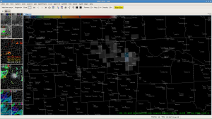
CIMSS_NRE Vertical Theta-e Difference forecast fields showing deeper layer instability ahead of the squall line moving southeast across Mississippi and will increase across Northwest Alabama over the next three hours. We don’t expect a lot of weakening of the strong to severe storms along the line moving southeast passing north of Tupelo into NW Alabama. CIMSS CI-Layer cloud top cooling rates now around -23C indicative of strong updrafts in storms north of Tupelo…and NSSL-NAL pGLM 1 minute composite showing an increase to 4 over past 5 minutes…and increasing updraft strengths. Given the environment, we expect to see an increased risk of severe storms with damaging winds in excess of 60 mph, frequent lightning over Franklin Colbert and Limestone counties over the next 1 to 2 hours. Storms over northern Mississippi past half hour still indicating localized winds to near 70 mph, according to spotter reports out of the Memphis NWS Foreccast Office.
EWP Forecasters Garmon/Skov


