Week 1 complete!

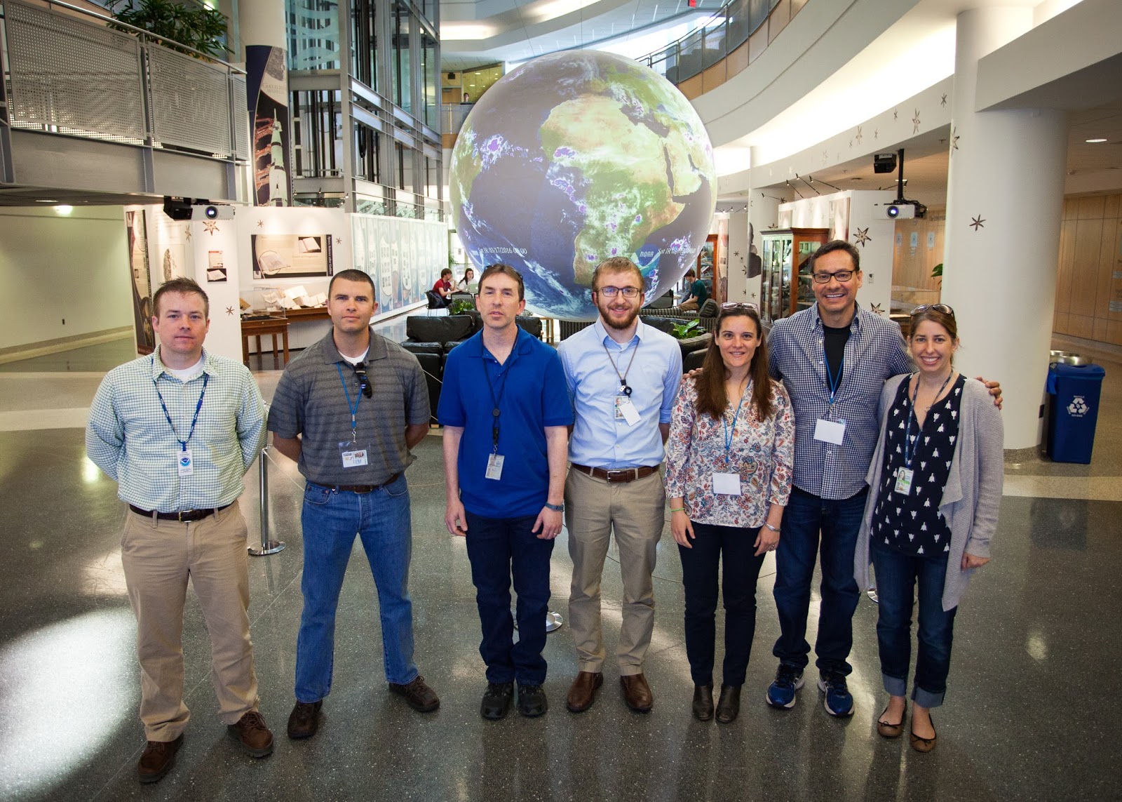
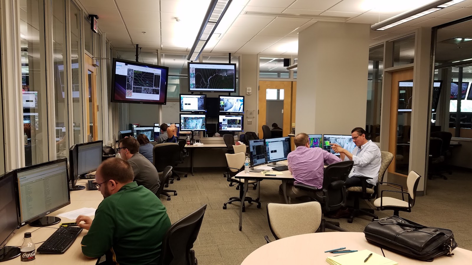
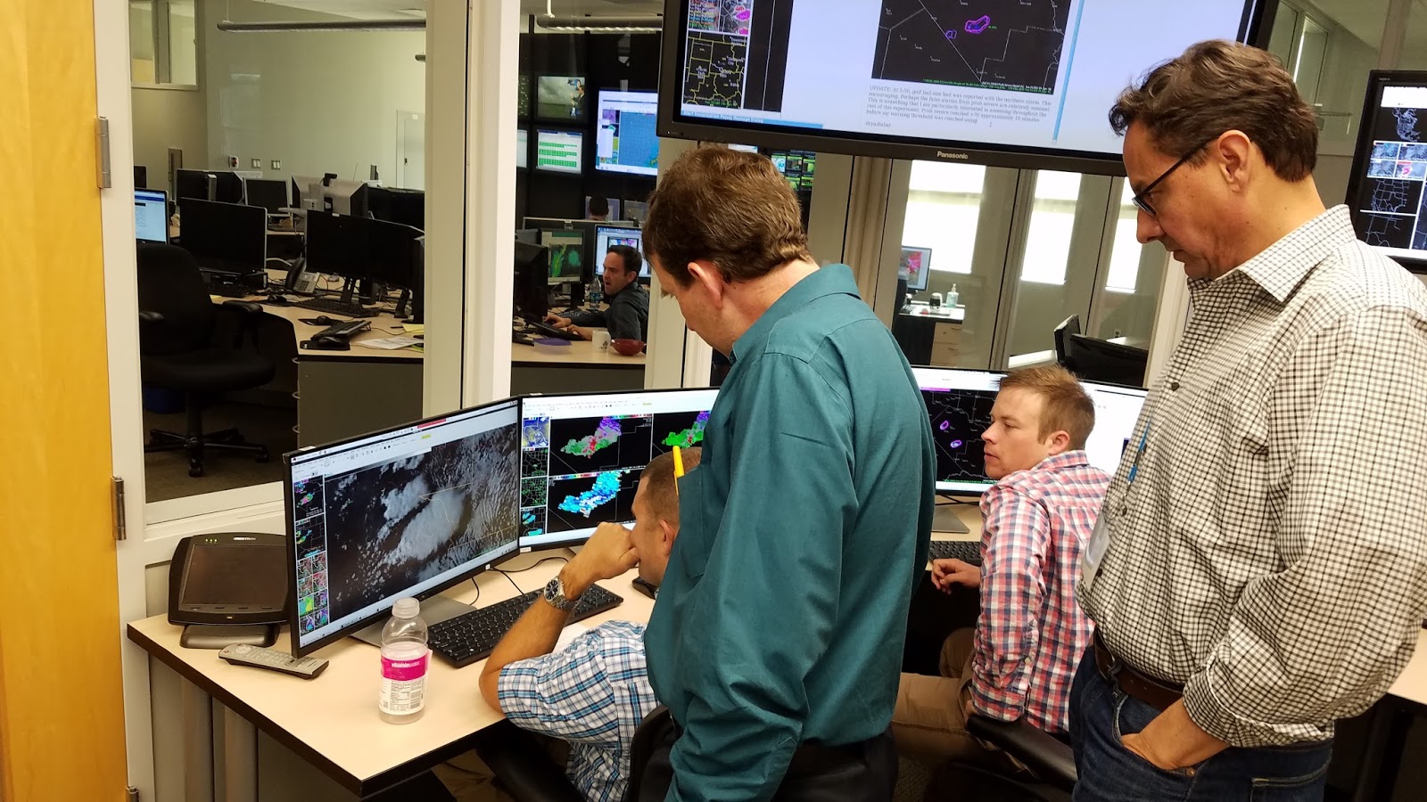
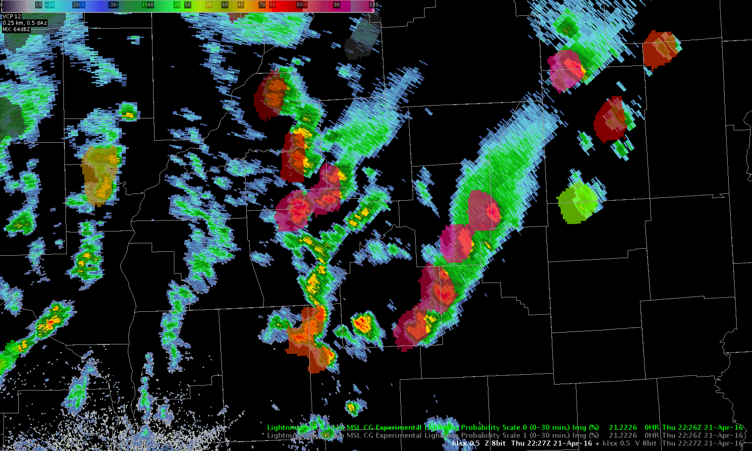
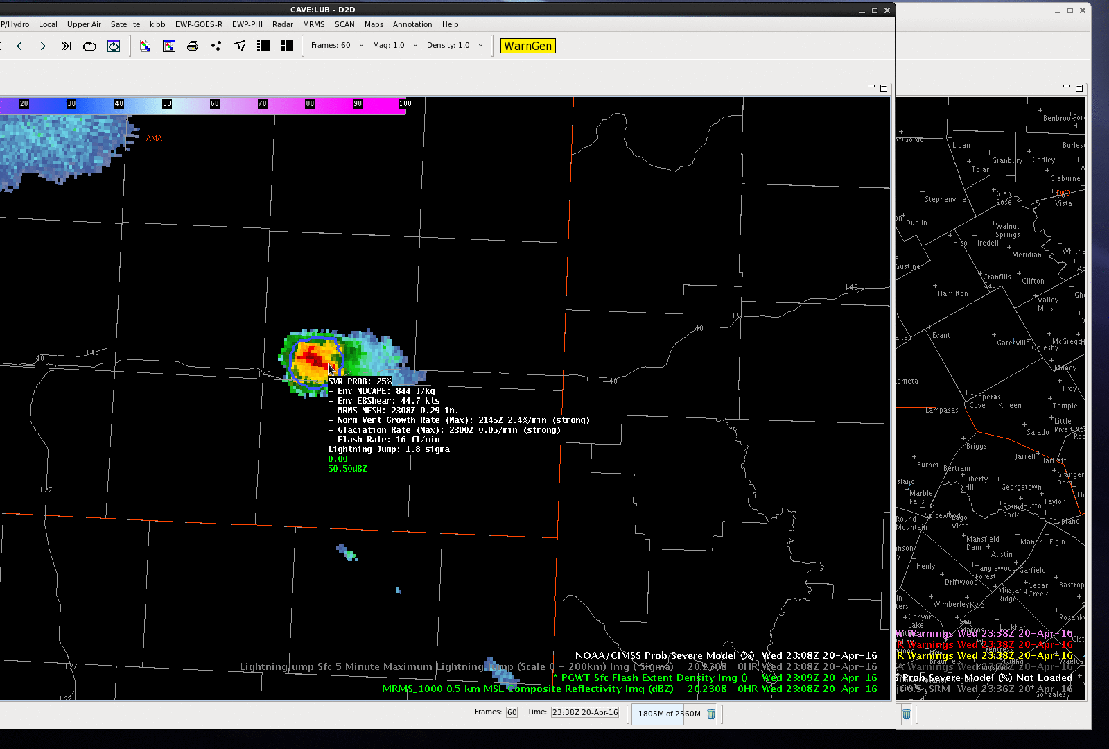
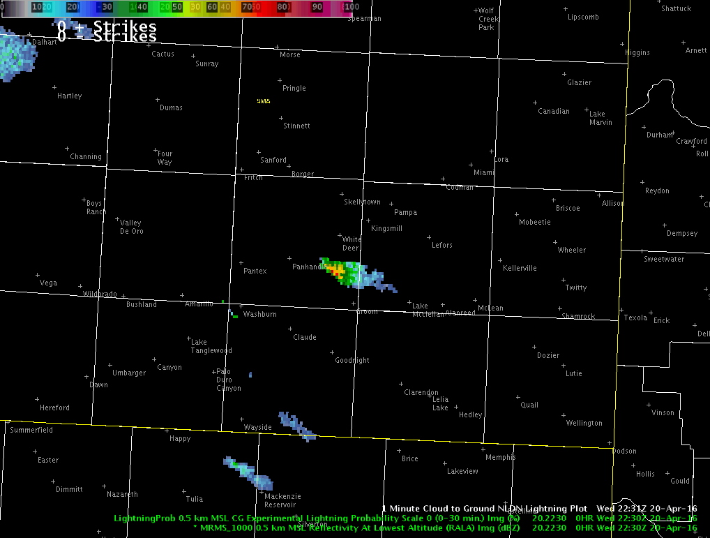
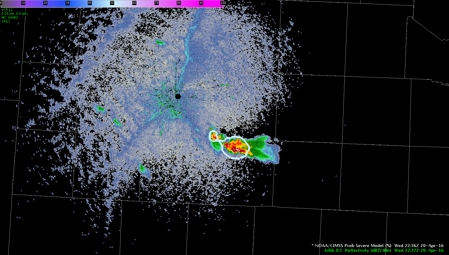
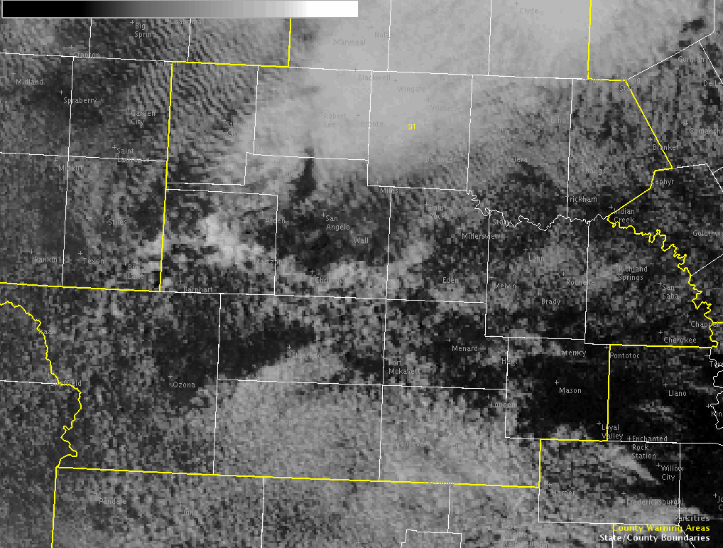
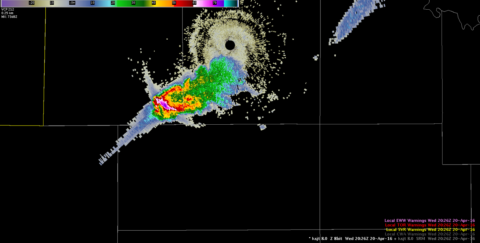
Week 1 (of 4) of the Hazardous Weather Testbed 2016 GOES-R/JPSS Spring Experiment is now complete! Although there were no widespread severe weather outbreaks this week, the marginal events provided just enough to keep our participants busy. The week 1 participants provided plenty of useful feedback on all of the products demonstrated, much of which can be found here on the blog. Below are a few photos from the week.

Bill Line, SPC/HWT Satellite Liaison

Week 1 HWT GOES-R/JPSS Participants - Lef to right: Randy Bowers (WFO AMA), Chris Gitro (WFO EAX), Mike Jurewicz (WFO BGM), Bill Line (OU/CIMMS and NOAA/SPC), Antonia Gambacorta (JPSS), Dave Aguilera (KCNC-TV Denver), Kristin Calhoun (OU/CIMMS and NSSL). Justin Sieglaff (UW/CIMSS) was also in attendance.
Week 1 HWT GOES-R/JPSS Participants – Lef to right: Randy Bowers (WFO AMA), Chris Gitro (WFO EAX), Mike Jurewicz (WFO BGM), Bill Line (OU/CIMMS and NOAA/SPC), Antonia Gambacorta (JPSS), Dave Aguilera (KCNC-TV Denver), Kristin Calhoun (OU/CIMMS and NSSL). Justin Sieglaff (UW/CIMSS) was also in attendance.
Working inside the HWT
Participants interrogating the SRSOR visible imagery
Tags: None

Lightning Probability Difference Scale1 vs Scale 0

Not many lightning strikes going on so far today. Lightning probablility is showing strikes that are occuring. The difference between scale0 and scale1 seems to support the idea that scale 0 might give more specific information over scale one on which storms have the best lightning probabilty. Scale one might be useful for overall early coverage and scale 0 might be a better indicator as more storms develop.
-thunder

Lightning Probability at Scale 0 at 2226 UTC on 21 Apr 2016
Lightning Probability at Scale 1 at 2226 UTC on 21 Apr 2016
Tags: None

Merits of Prob Severe

J-Money:

For much of the afternoon, so far, scattered to numerous storms in central/southern IL have been non-severe in nature, with occasional small hail.  Prob Severe values have been correspondingly low, with meager flash rates, and poor growth rates.

However, just before 22z, a storm intensified in the far northeast part of the ILX CWA.  Prob Severe values rose quickly into the 70s and 80s, as flash rates and MESH values increased.  A warning was issued, based on the environment of cold air aloft, and seemingly more favorable storm-scale parameters for hail, as shown by Prob Severe.

A loop of refectivity at the -20C level, with Prob Severe overlayed, is shown here.  It well correlates with the above descriptions.

-20C Z + ProbSevere

Tags: None

ProbSvr gives good lead time

Looking at the use of prob severe in providing lead time. At 23:36z a report of ping pong ball size hail.

Analysis of prob severe and lightning jump 20 minutes before at 23:16z , shows the probSvr displaying 91% chance of severe, 46kts shear, MU cape 947, Mesh 1.07″, Growth rate strong: glaciation: strong, flash rate 28/min and 1 signa jump.

20 minutes later at 23:36z:  90% chance of severe, 49 kts shear, Mu cape 1157, Mesh 1.93″, Growth rate:strong, Glaciation: strong, 0 signa. ( however, jump did stay at 1 during 20 min duration.)

One report of ping pong ball size hail at that point.

Prob severe may be a good factor in issuing an early warning for a severe storm.

-thunder

ProbSVR20minout

ProgSvrPingPongHail

Tags: None

Another Prob Severe Success East of Amarillo

This storm east of Amarillo produced quarter size hail at 6:25 PM, approximately 11 minutes before severe prob increased above 80%. There was a steady increase in values over the 30 minute before the severe hail report, from 20% at 6:02 PM, to 25% at 6:08 PM, to 62% at 6:12 PM. Correlated with the time of the severe hail report, severe prob values were 90%. Glaciation rates went from weak to strong ~20 minutes before the severe hail reports. Flash rates steadily increased leading up to the severe hail report but peaked ~30 minutes after the report.

-dryadiabat

Amarillo

Tags: None

Eastern Amarillo CWA Storm

While we are watching storms in the Lubbock CWA, I kept an eye on a storm over the eastern portion of Amarillo CWA, near I-40.  The ProbSevere was 25% at 2308 UTC and jumped to 84% by 2314 UTC as MRMS MESH and total lightning flash rates jumped significantly (also the effective bulk shear was rather high in the mid/upper 40 knots).  The ProbSevere values continued to increase into the 90% range.  A 1.00″ hail report was received at Interstate 40 at 2325 UTC and after the report was received, a severe thunderstorm warning issued.  The good lead-time for this storm can be attributed to all predictors of ProbSevere–strong satellite growth rates, strong satellite growth rates, increasing lightning in a highly sheared environment and MRMS MESH over 1.00″.

NOAA/CIMSS ProbSevere contours and MRMS composite reflectivity valid 2308 - 2332 UTC 20 April 2016.
NOAA/CIMSS ProbSevere contours and MRMS composite reflectivity valid 2308 – 2332 UTC 20 April 2016. (click for animation)

-Sieglaff

Tags: None

Experimental CG Lightning Probability

Below is an animation of MRMS radar 0.5 km reflectivity with the experimantal CG lightning probability and NLDN CG overlaid. Notice that the experimental CG lightning probability rises to 58% 14 minutes before the first CG strike detected by NLDN. Probablities increased to 67% 5 minutes before the strike, and 72% approximately 2 minutes before the strike. This has potential significant value for providing lead time to outdoor events. In addition, the National Weather Service in Amarillo recently began experimenting with Aviation Weather Warning for lightning for Rick Husband Airport, and this experimental product could potentially allow the office to provide a better service to aviation customers. Other offices provide lightning warnings to airports and likely could potentially benefit from this. I will be watching this product closely throughout the rest of this experiment to see how much lead time it normally provides and how frequent false alarms are. My first impression is very positive.

-dryadiabat

ExpCG

Tags: None

Storm Southeast of LBB’s RDA

Storm development has occurred southeast of the Lubbock, TX RDA in the Texas Panhandle.  While initially the all-tilts reflectivity looked promising, PROBSvr continued to indicate marginal severe potential.  Combine this with no significant lightning jump and low flash density on the PGLM array, the decision was made to hold off on a warning for now.LBBRadar


Tags: None

Development of Sig Prob Severe in the Future?

Once again prob severe provides ~10-15 minutes of lead time using ~75% over typical radar thresholds. After we issued the warning we noticed signatures suggestive of significant hail sized (e.g., persistent deep TBSS, sidelobe contamination, transient BWER). This raises the question, could criteria be adjusted in the algorithm to provide sig severe guidance? This could be very useful operationally for the most high impact events that cause the most property damage and threat to life.

TBSS

-dryadiabat

Tags: None