
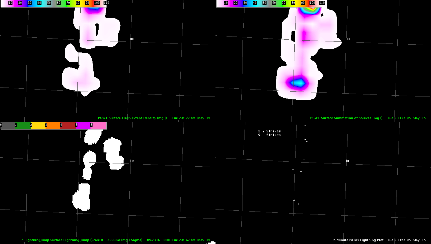
We decided to issue a warning at 2323 UTC for Lubbock county on a storm that was moving eastward towards the city of Lubbock. The ProbSvr increased to around 59% at 2316 UTC with a MESH of 0.76 inches.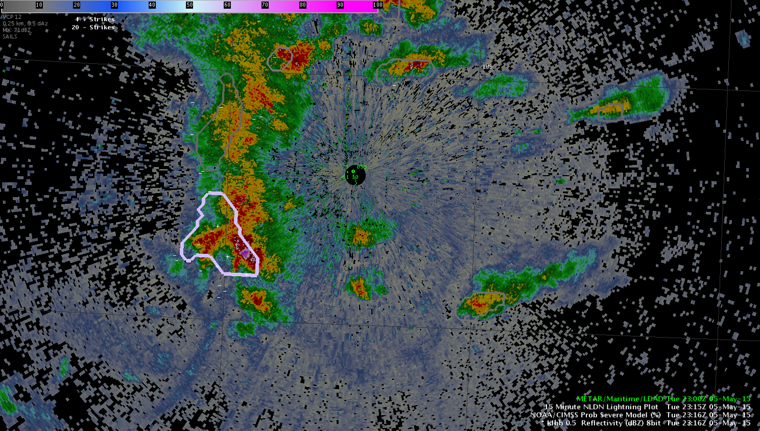 The PGLM data and Lightning jump data at 2316 UTC were not very impressive with flash density less than 10 flashes (upper left in the image below) and the Lightning jump showing values less than 1 sigma (lower left in the image below).
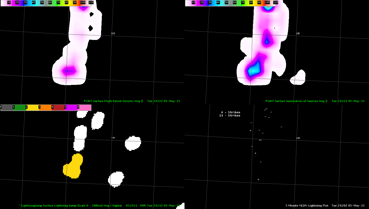
 Based on the base radar data from the all tilts display off of the MAF radar (LBB was too close to the storm and not able to see the top of the storm), we began writing up a severe thunderstorm warning at 2320 UTC which was issued at 2323 UTC. It was noted that at 2322 UTC the Lightning jump algorithm displayed a 2 sigma value on the storm (we did not see this is real time as we were writing up the warning), while the PGLM showed an increase in flash density to around 23 flashes which was still relatively unimpressive.
 In this instance the PGLM and Lightning jump did not really provide any significant factor in the warning decision although the 2 sigma Lightning jump is a positive sign but in this instance did not outperform traditional base data storm interrogation. A large hail report of 1.75 inches was received just southwest of Lubbock at 2333 UTC.
Jack Bauer