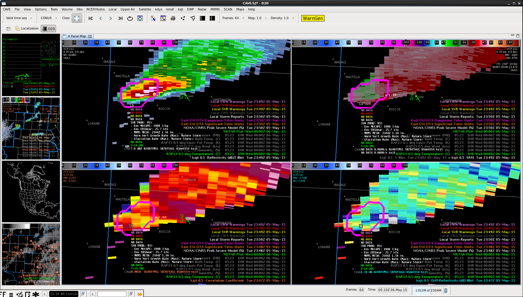
Had a storm report come in from 2mi north of Roscoe at 2350Z with 1″ hail within our warning. As indicated in the image below, the ProbSevere data was still indicating 95% severe probability at that time. That provided around 20 minutes lead time from both when the warning was issued and the ProbSevere value jumped above 90%. It looks like the MRMS MESH data was overestimating the hail size slightly (1.34″). -SRF