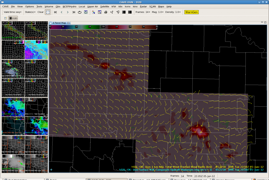
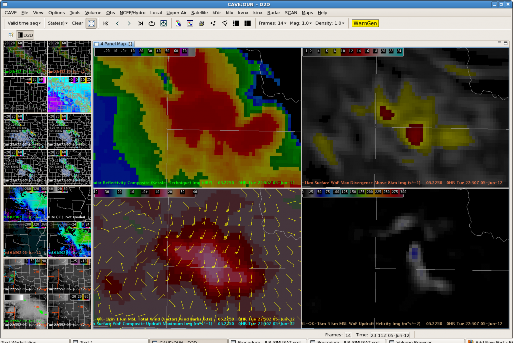
After a significant period of marginal convection, the 3DVar data picked up on a stronger updraft, and subsequently, a very strong outflow boundary. It is very easy to pick out the strongest storm amongst the broken line of convection in the Max Updraft Composite imagery. Updraft values of 17 m/s noted at 2250z, with values as high as 23 m/s at 2230z in McClain County. Elsewhere, updrafts in the line were less than 10 m/s.

Zooming in, the 3DVar 1 km total wind vectors clearly pick up on the strong outflow winds at 2250z.

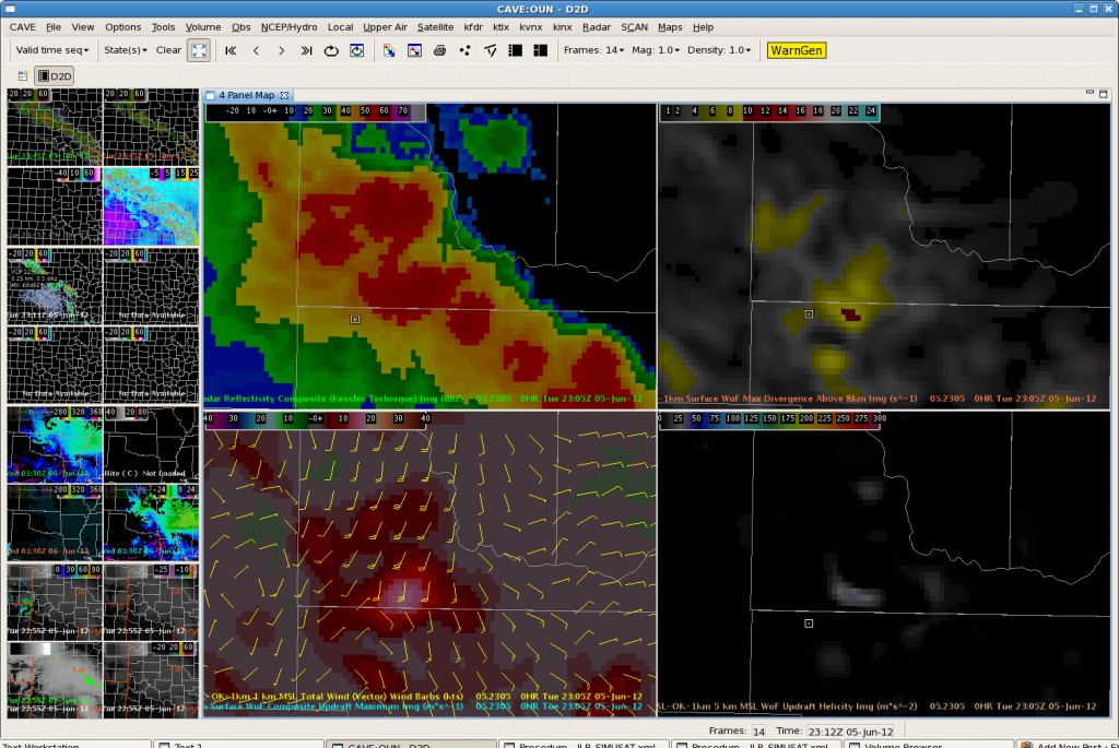
At 2305Z, it is clear that the spatial extent of the intense updraft is decreasing. 1 km winds are also decreasing which matches well with radar data. Thus will not extend severe thunderstorm warning.

