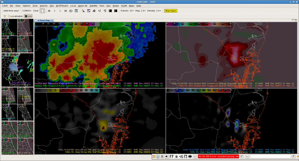
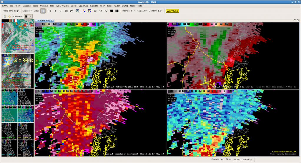
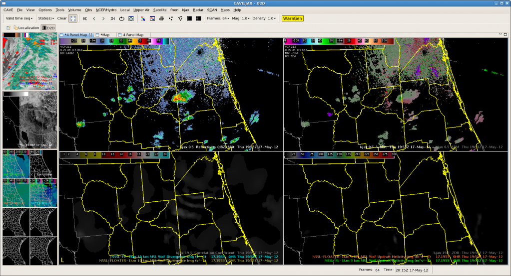
Here is an good example of 3d Var picking up on a strengthening storm and some mid level rotation. The top 4 panel 3 d var from 1905 and the second is radar from 6 minutes later. The updraft strength, updraft helicity and updraft velocity products show a strong signal while the mid level storm relative velocity images (3 and 4 degree scans especially) have good rotation developing. Not much at low levels (images not shown) but nice example of 3-d Var pick up and highlighting mid level rotation. One additional feature that would be very good to have in the 3d var data is something that shows the height of max updraft helicity. Built a 4 panel to compare all tilts radar (top two panels) to 3-d var updraft helicity and storm top (10 km) divergence as they seem to be good parameters to for finding rapidly intensifying/severe storms and will have to see how it works for the next storm. Below is an example of the procedure with interesting gravity wave like features from the previously dissipating storm but nothing much firing yet to see how it works.
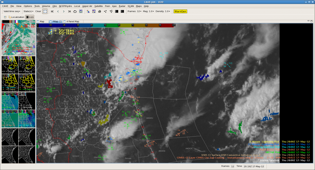
Interestingly there is a red (94%) and a few other CI detections in the vicinity of the ‘gravity wave’ looking things. Curious to see how they build…


