New Meso Detection Algorithm

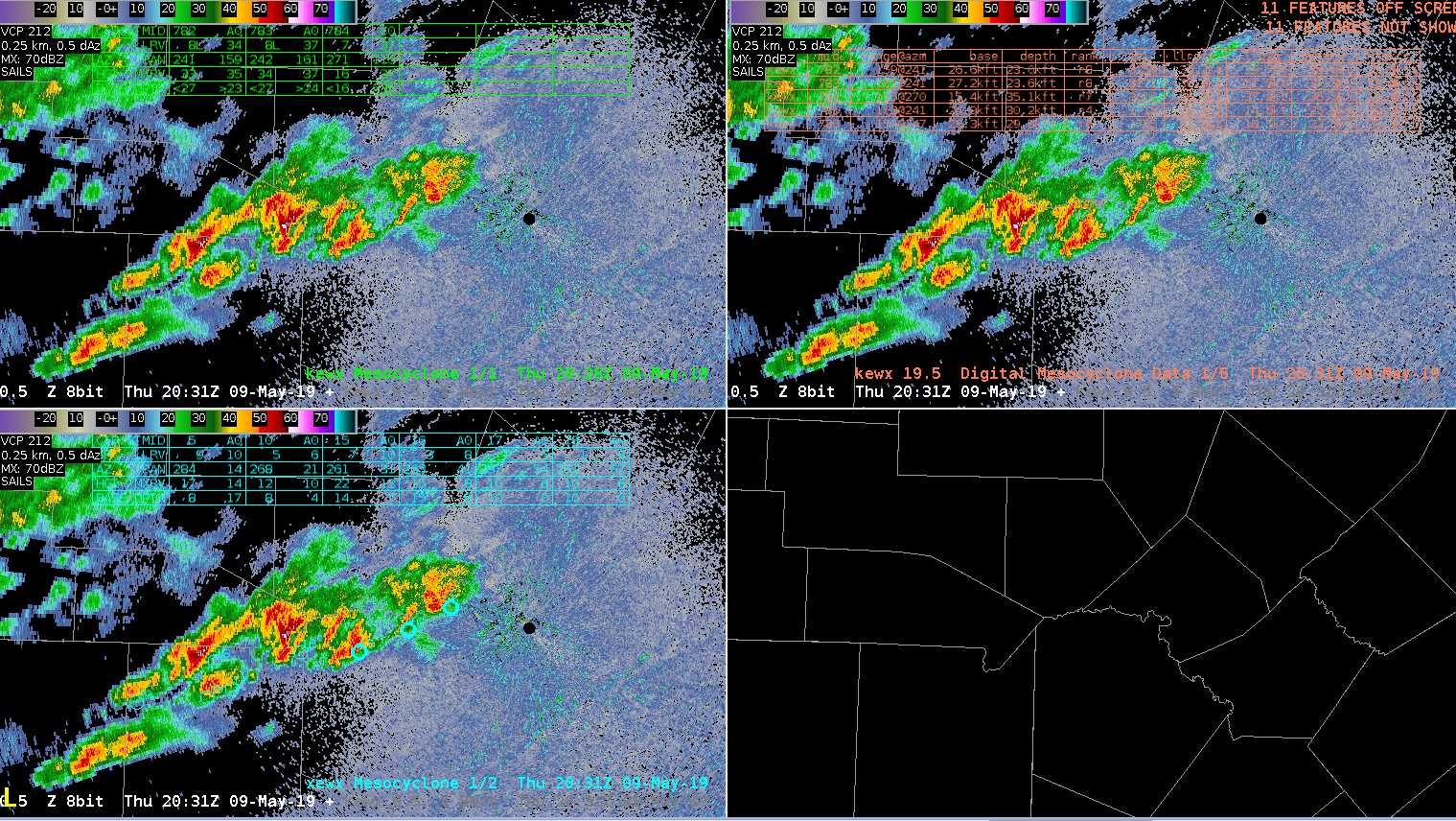
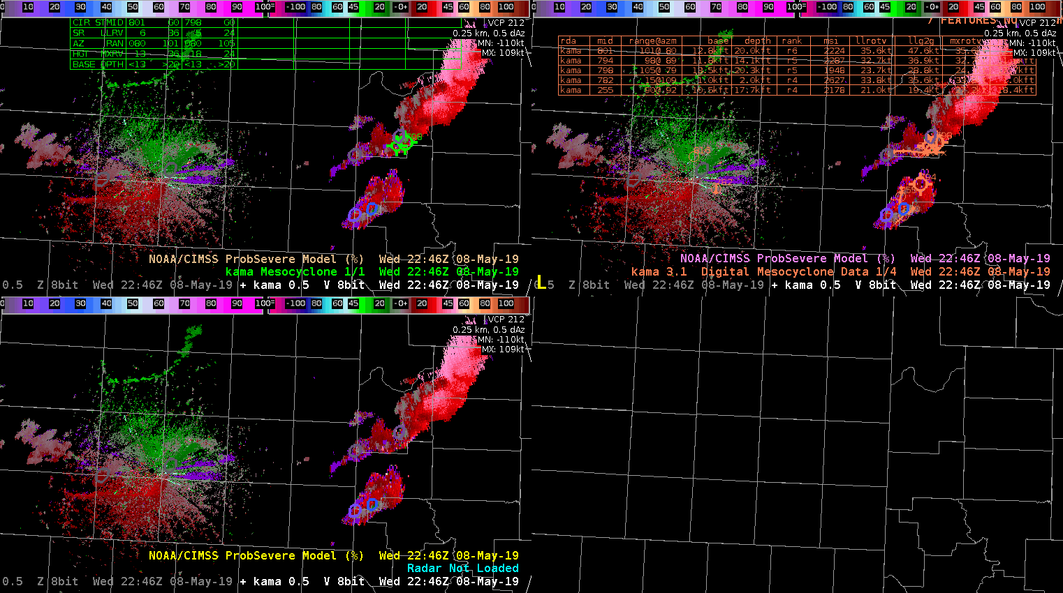
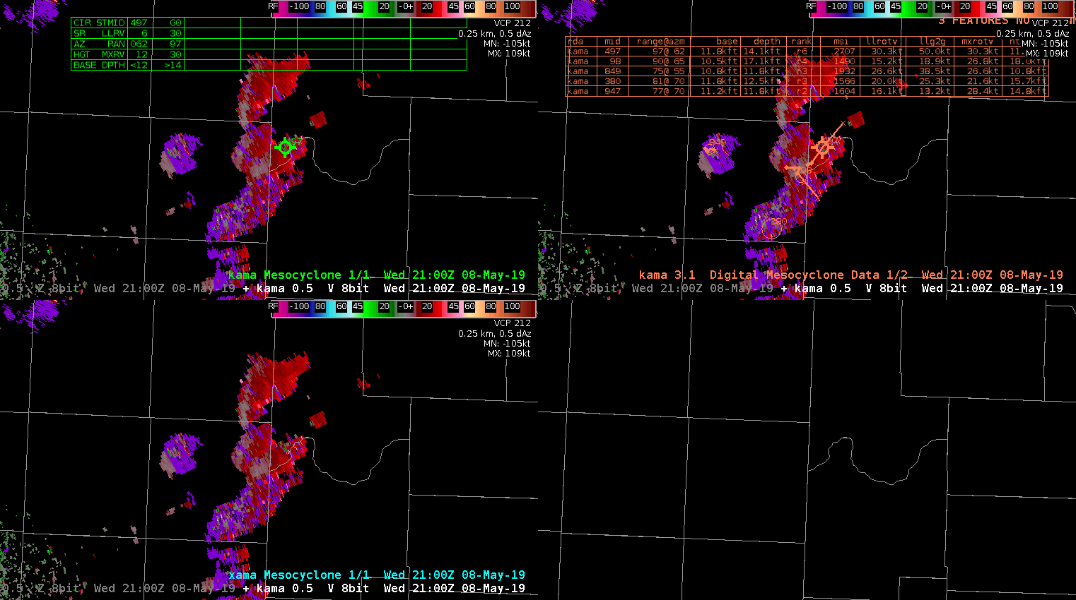
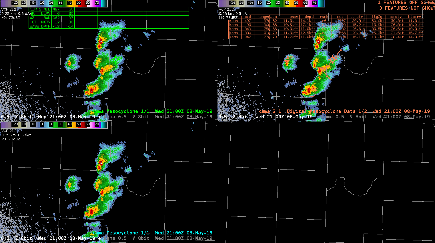
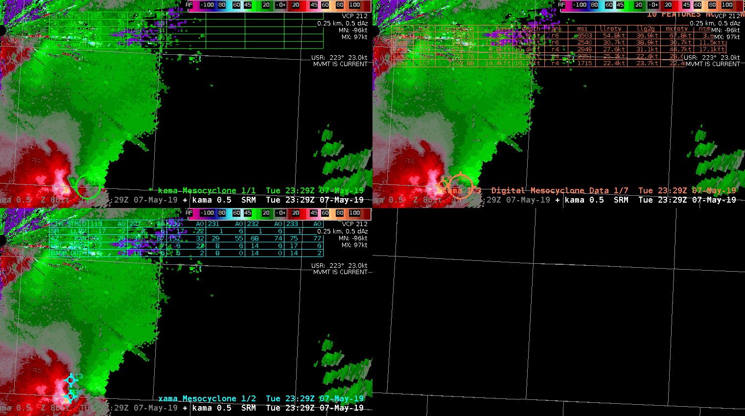
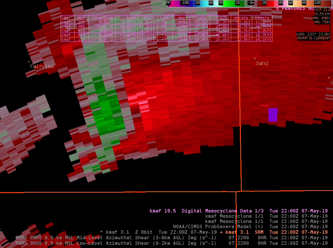
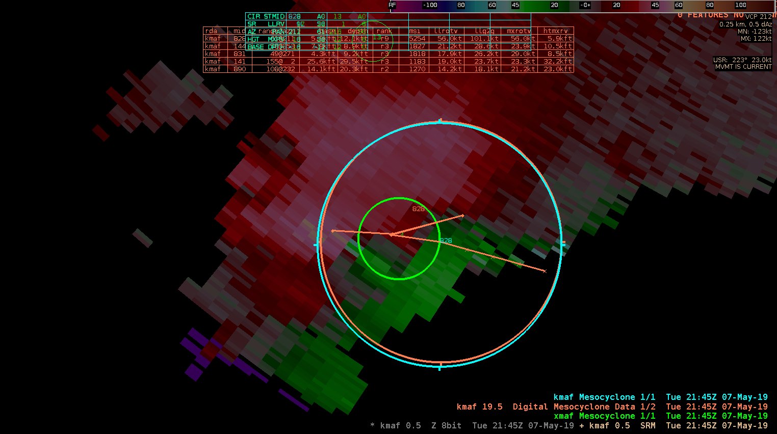
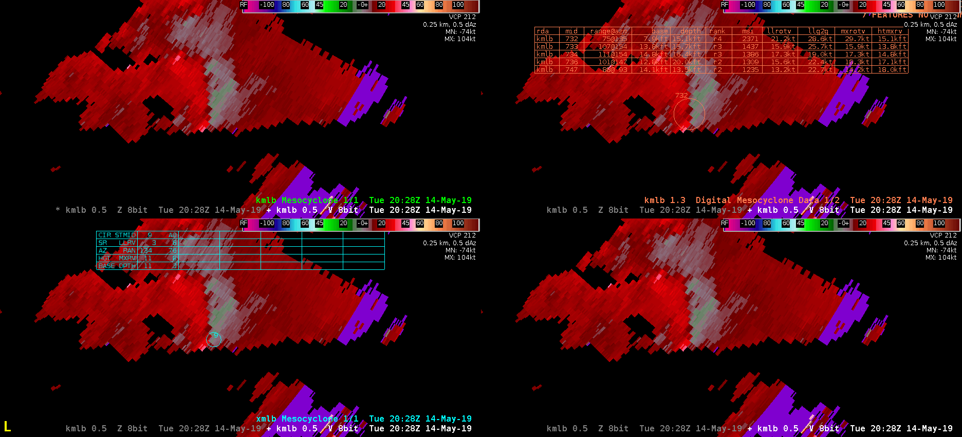
Tested out the legacy (upper left), digital (upper right) and new (lower left) meso detection algorithms on a supercell off the Florida Coast. Tracking of the NMDA performed admirably on this cell from scan to scan. However, I was not seeing elevated icon statuses (thicker circle, or cross haired circle) as the meso strengthened and became strongest in the low-levels. Perhaps this was just an Awips display issue, but overall I would give an edge to the DMDA in term of overall usefulness because of this issue.

— warmbias —

MDAs with cycling supercell

The NMDA (bottom left) tracked a weakening meso and picked up on a new strengthening meso with a cycling supercell. The legacy MDA (top left) and DMDA (top right) lost the old meso before the NMDA did. To this forecaster, it is important to still know the location of the weakening mesocyclone, which the NMDA helped locate.

NMDA vs MDA vs DMD

Not gonna lie, it took a while to digest what was being displayed by the various meso detection algorithms since we don’t get a lot of meso in the Pac NW. However, here is an example when NMDA picked up on broad mid-level rotation while the MDA and DMD didn’t for a storm in the northern portions of MAF’s CWA. (Also displayed is SRM around 17,000 ft from KMAF)

For good measure, here is a look of the 3-6km Merged AzShear.

Tornado Development in N LUB CWA – ProbSVR & NMDA Performance

When the reported tornado developed in Swisher County in the northern portion of the LUB CWA at 5:12 PM, it was preceded by increases to the ProbTor and AZShear products by several minutes. Initially, I believed these algorithms to be picking up on sidelobes in the lowest levels of the radar scans, as noisy velocity data was being recorded in areas where reflectivity values were small. You can see these artifacts in and around areas of purple haze in the animation below. However, these products verified their jumps with a brief tornado touching down. It was reported to look relatively strong while on the ground with multiple vorticies visible at the time. It was short-lived, however, seeming to dissipate relatively quickly after touchdown.

The NMDA also did well picking up on this circulation before tornadogenesis, but I had some questions regarding the data quality in the low-level detection prior to the tornado.

#ProtectAndDissipate

NMDA falls short

NMDA (in green) had problems picking up on the 1.3 slice circulation compared to DMD (in orange) and MDA (in cyan). This is a mid-level rotation at about 11K ft above sea level. This is about half an hour before tornado touchdown.

ZDR_Arcophile