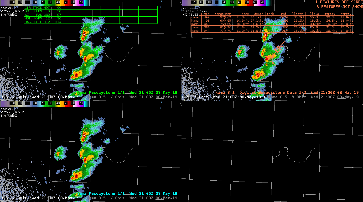
Example from KAMA radar showing how the legacy MDA (top left) and DMDA (top right) are falsely indicating mesocyclones with general thunderstorms along the OK/TX border, while the NMDA (bottom left) does not indicate a mesocyclone. Noisy velocity data may be resulting in the false meso indications.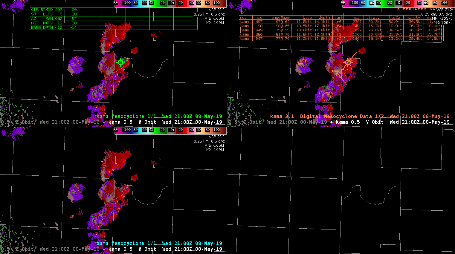
EWP Blog
Spring Experiments & Beyond
