Official websites use .gov
A
.gov website belongs to an official government
organization in the United States.
Secure .gov websites use HTTPS
A
lock (
) or https:// means you’ve safely connected to
the .gov website. Share sensitive information only on official,
secure websites.

General Information and News
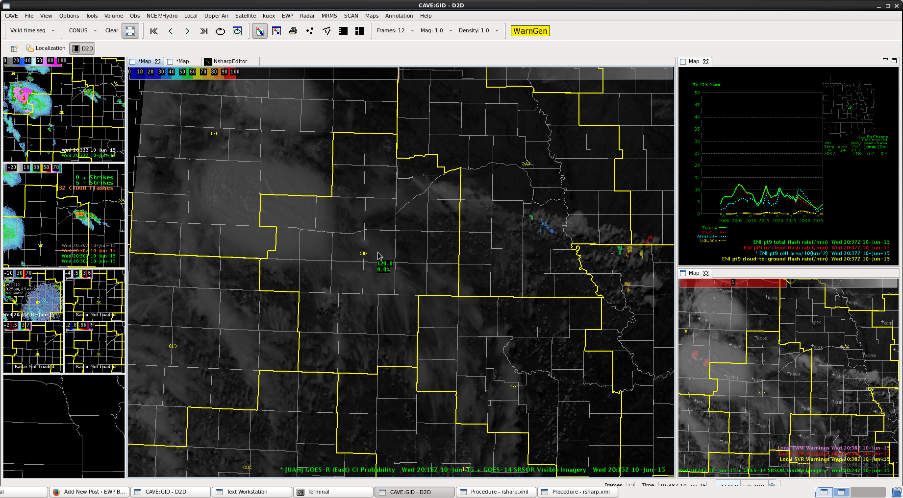
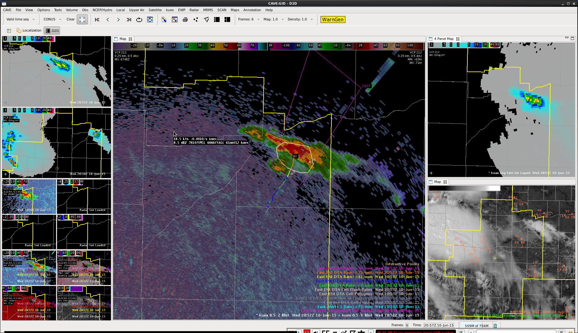
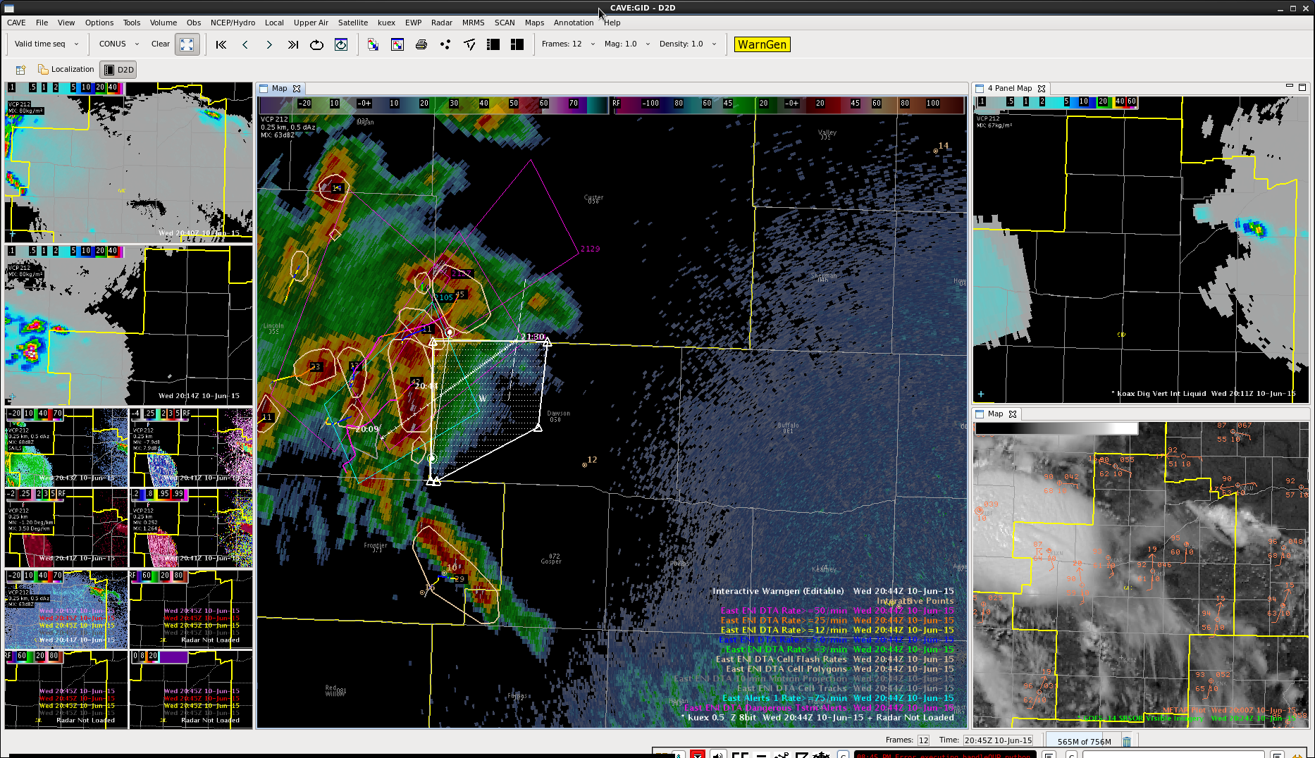
OT product showed a good updraft. Also saw signal for a strong updraft in the Dawson county part of the line with 60+ knots inbound winds at the storm top.
ProbSevere should not be useful, given this cell had been around for awhile and was more of a line, but still high. Time series showed lightning dropping though further inspection showed lots of cell mergers and breaks occurring.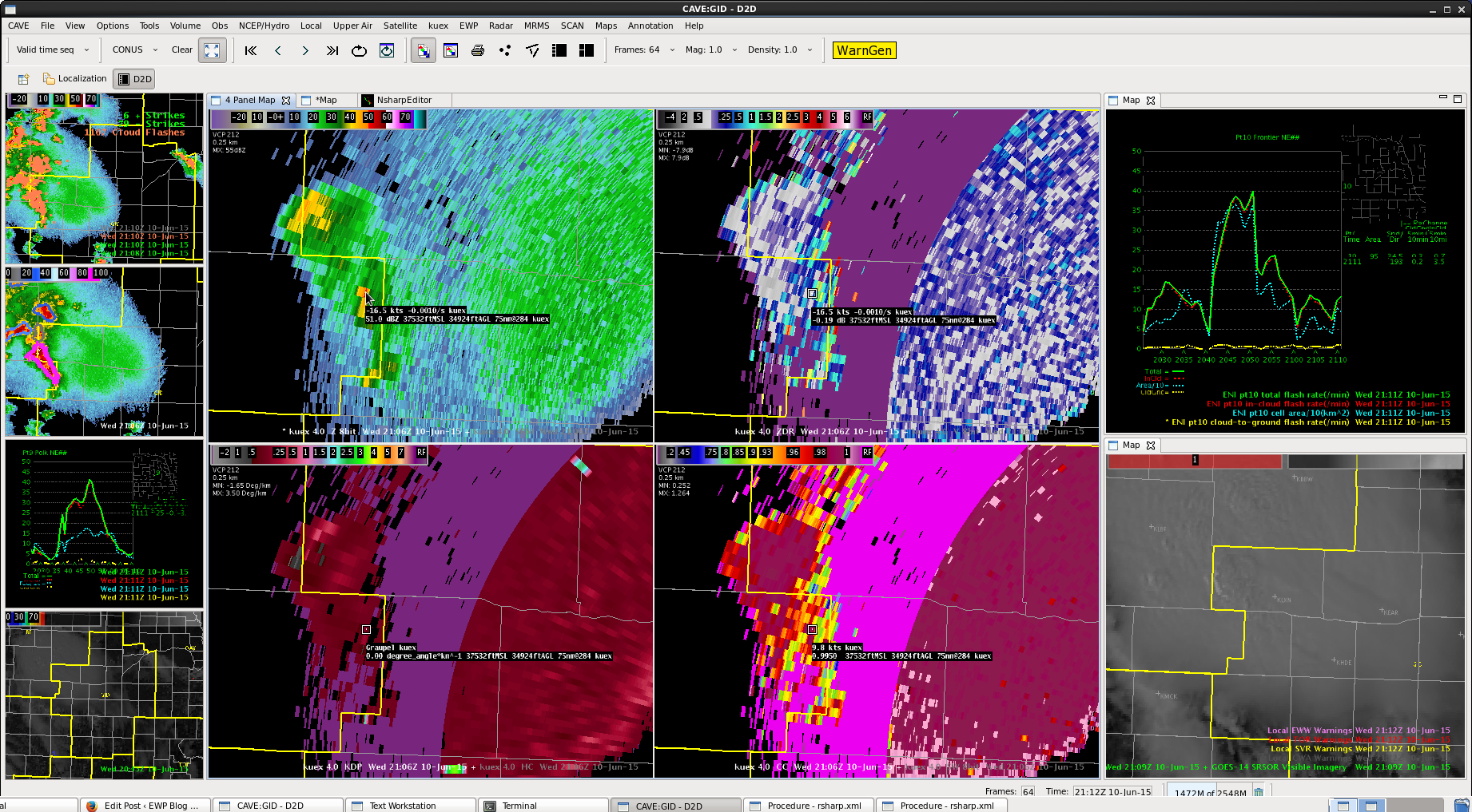 Cell was tall still in the upper tilts, higher dbZ.
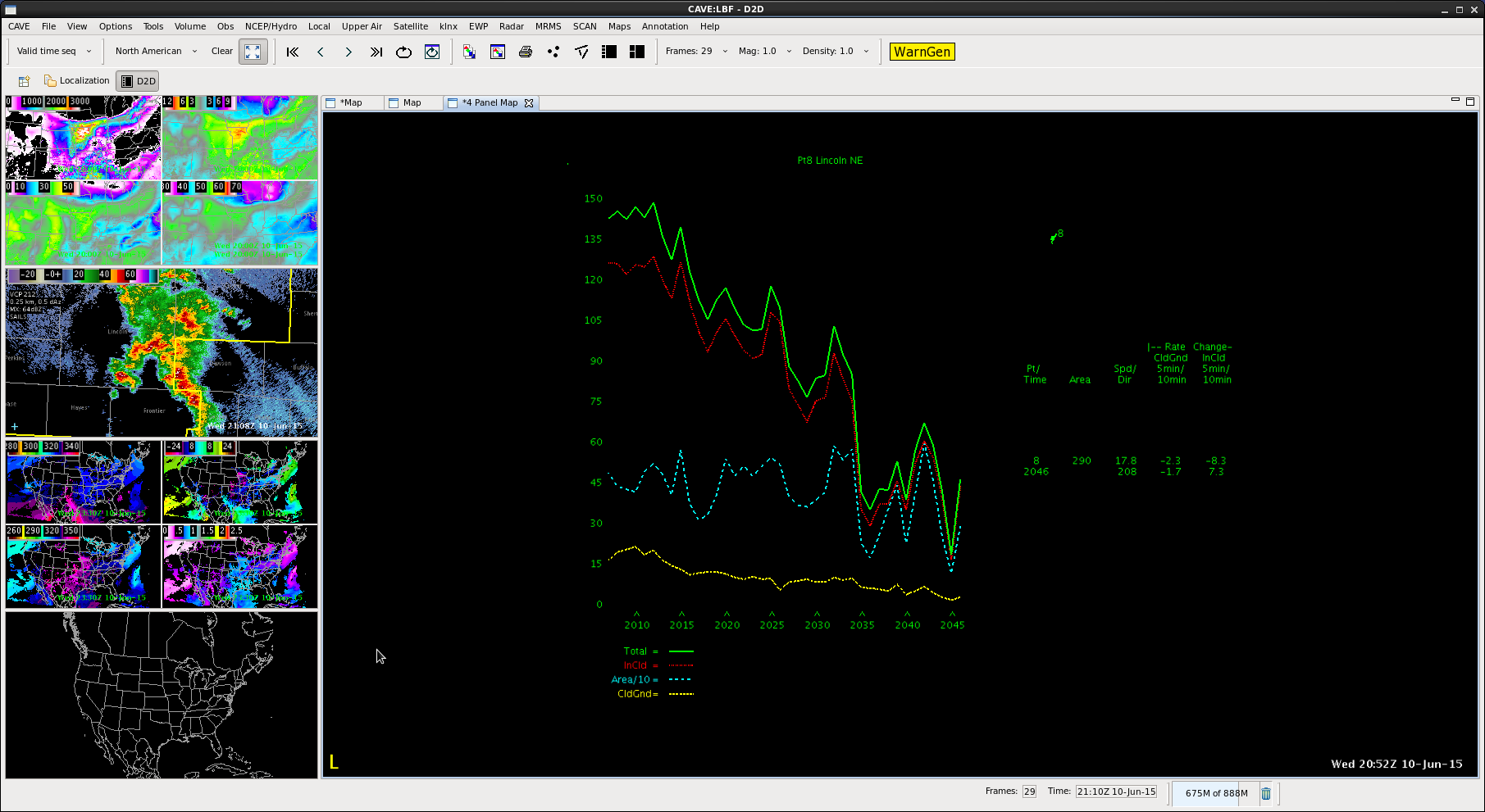
Using 8km 5min total lightning grid and plot along with cell flash rate tracking, polygons, dangerous thunderstorm alerts to watch lightning trends. Kept the time series visible on the right. Cell trended toward zero so letting the warning expire. We did have a few instances where cells merged so lightning went to zero in the initial cell.

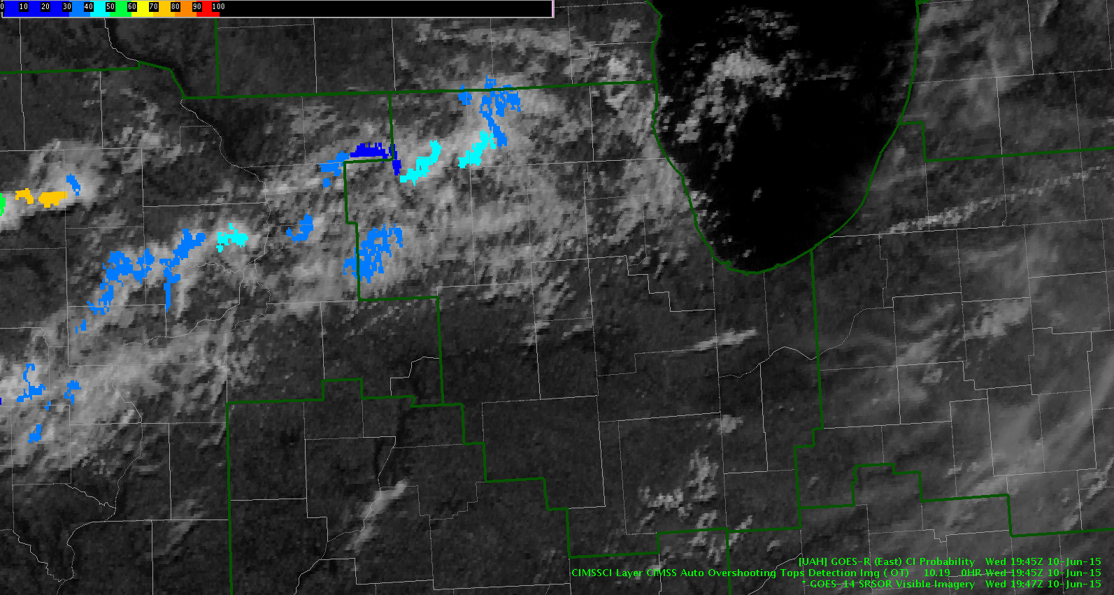
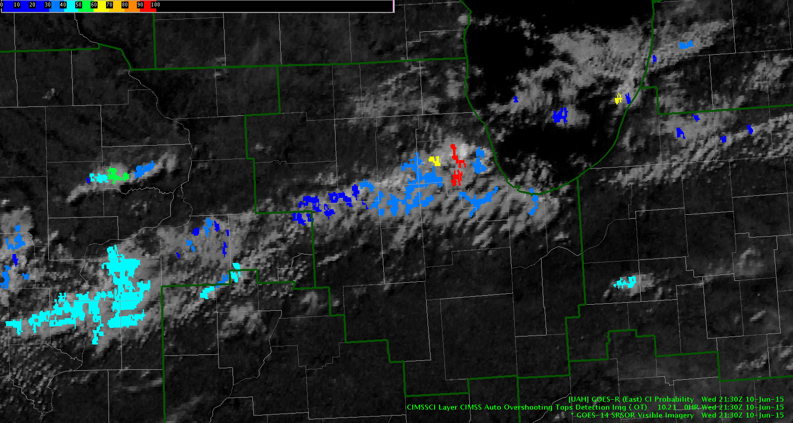
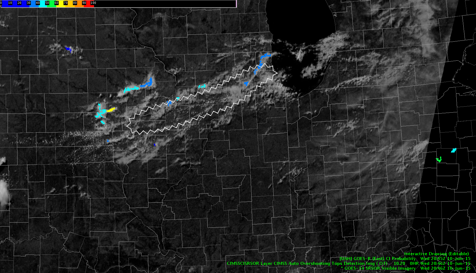
Keeping an eye on the one-minute GOES super rapid scan with the CI product. You can clearly see the boundary and the lake breeze boundary on the satellite loop. You can see a weak shortwave denoted by the blue area on the CI product…we are thinking that once this intersects with the other boundaries we will get enough lift to break the weak cap and initiate convection.
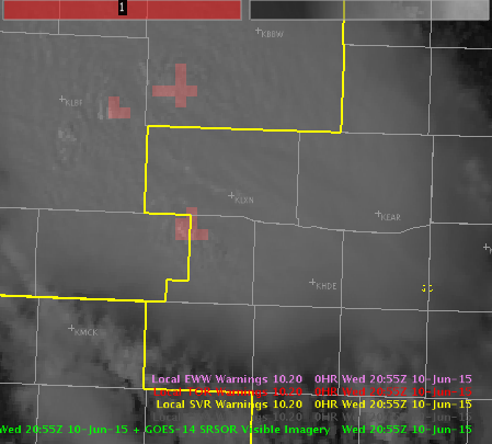
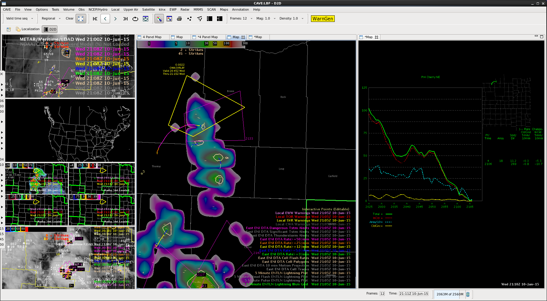
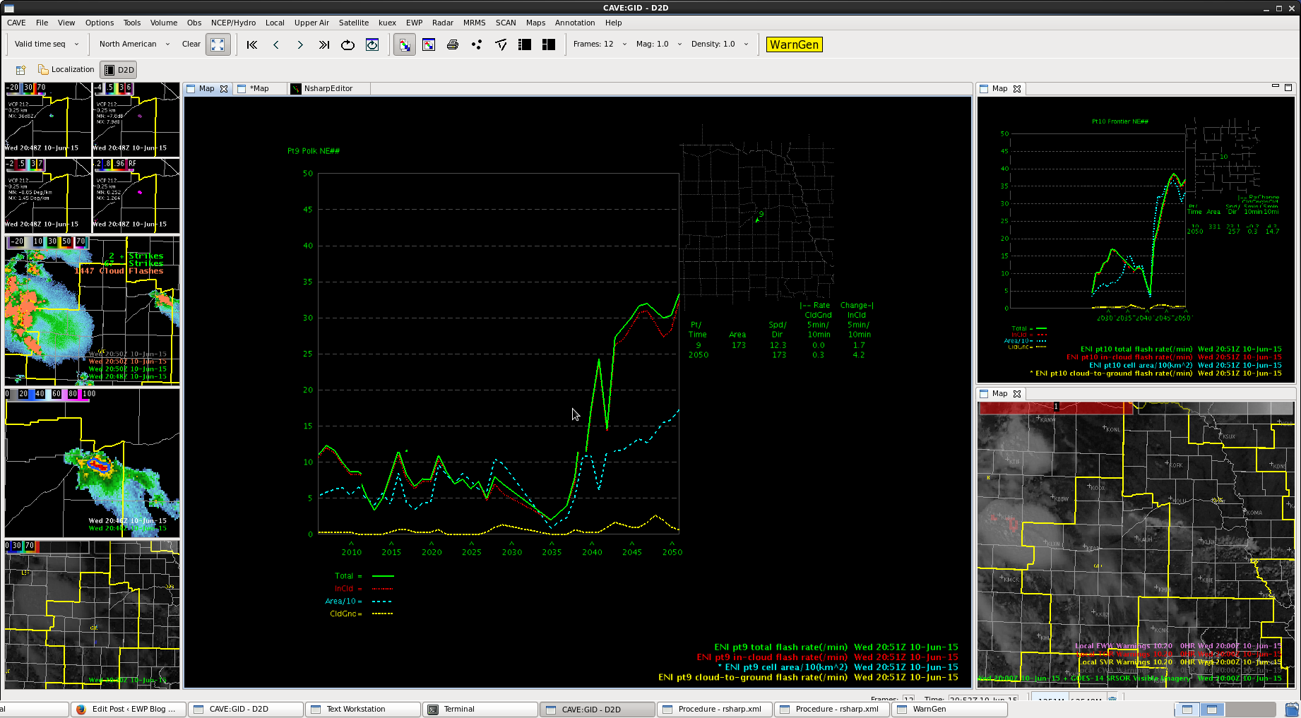
All the action across SE Lincoln Co has been becoming more and more disorganized. Decided to not reissue warning. The significant drop in lightning helped to back that thinking. -BT
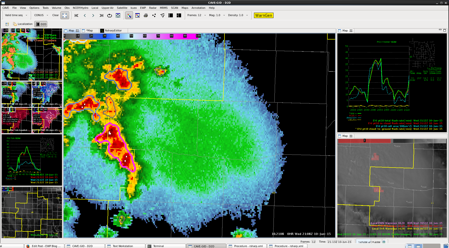
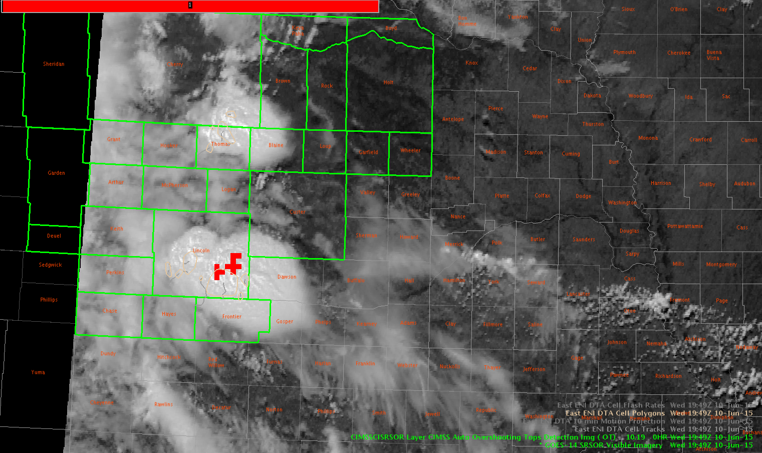
Looked at this briefly. Looping quickly, we were able to track the inflow to our storms in LBF. The overshooting top algorithm jived with the strongest storms in the DMA across SE Lincoln Co. -BT
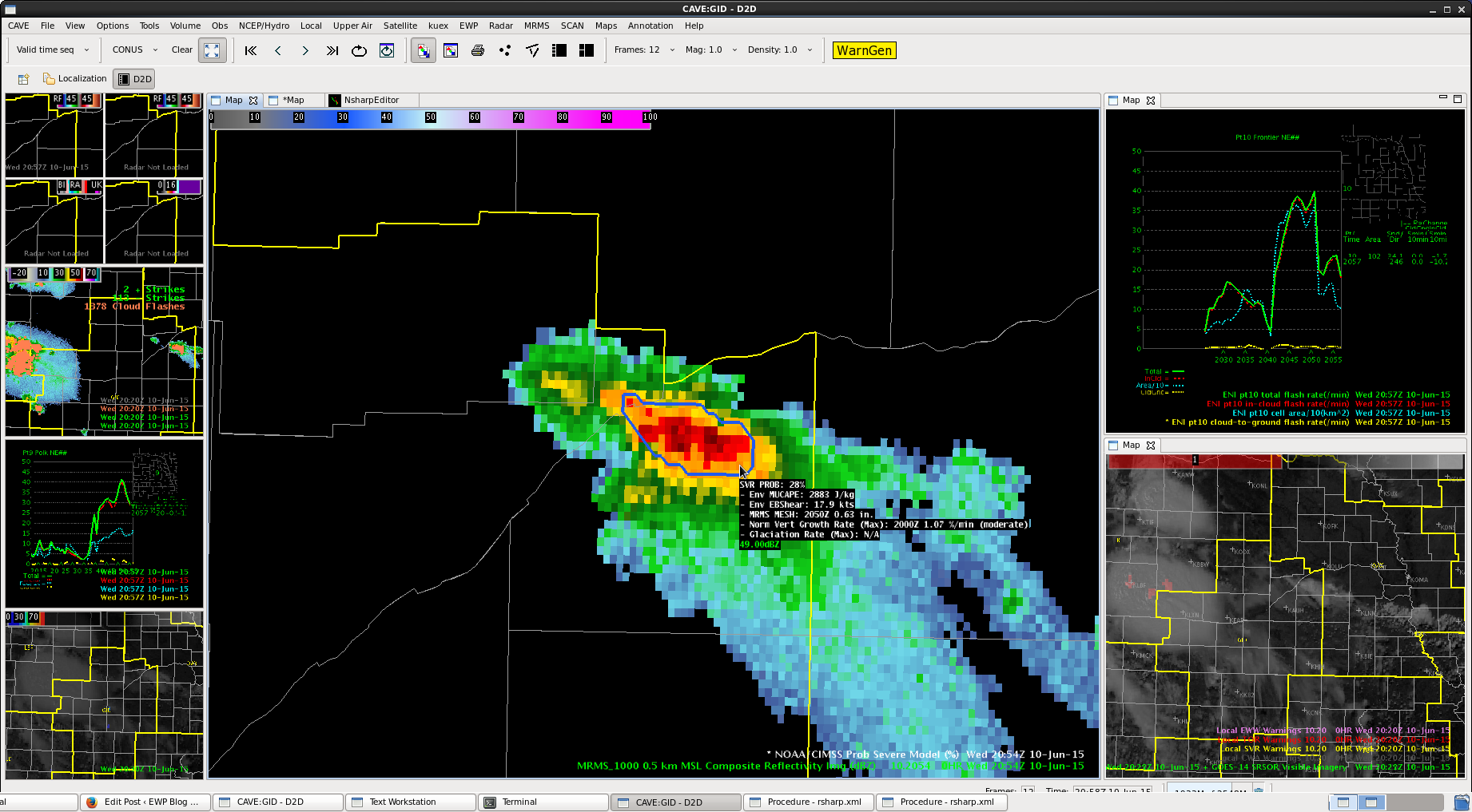
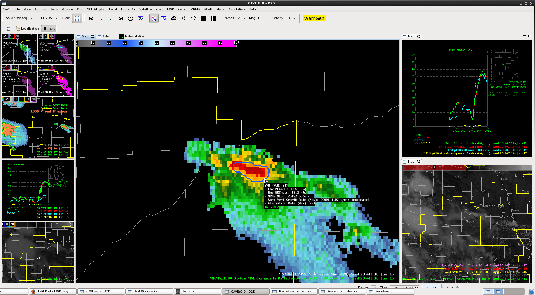
 ProbSevere not as high (still around 30%), reflectivity aloft is increasing. Had ~45 dbZ up to 40 kft.
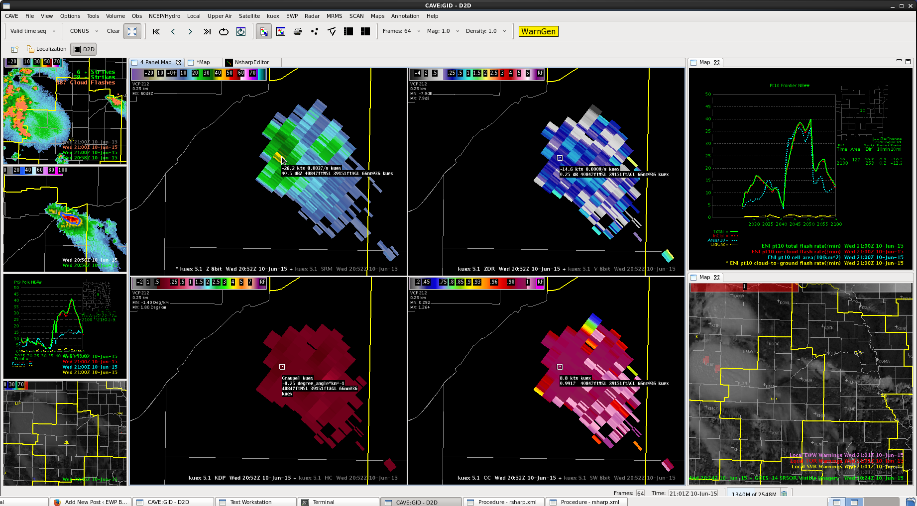
Cell perking up in the northeast CWA. ProbSevere up to 31%. Lighting is increasing as well as DVIL. 50 dbZ height up over 30 kft now as well.
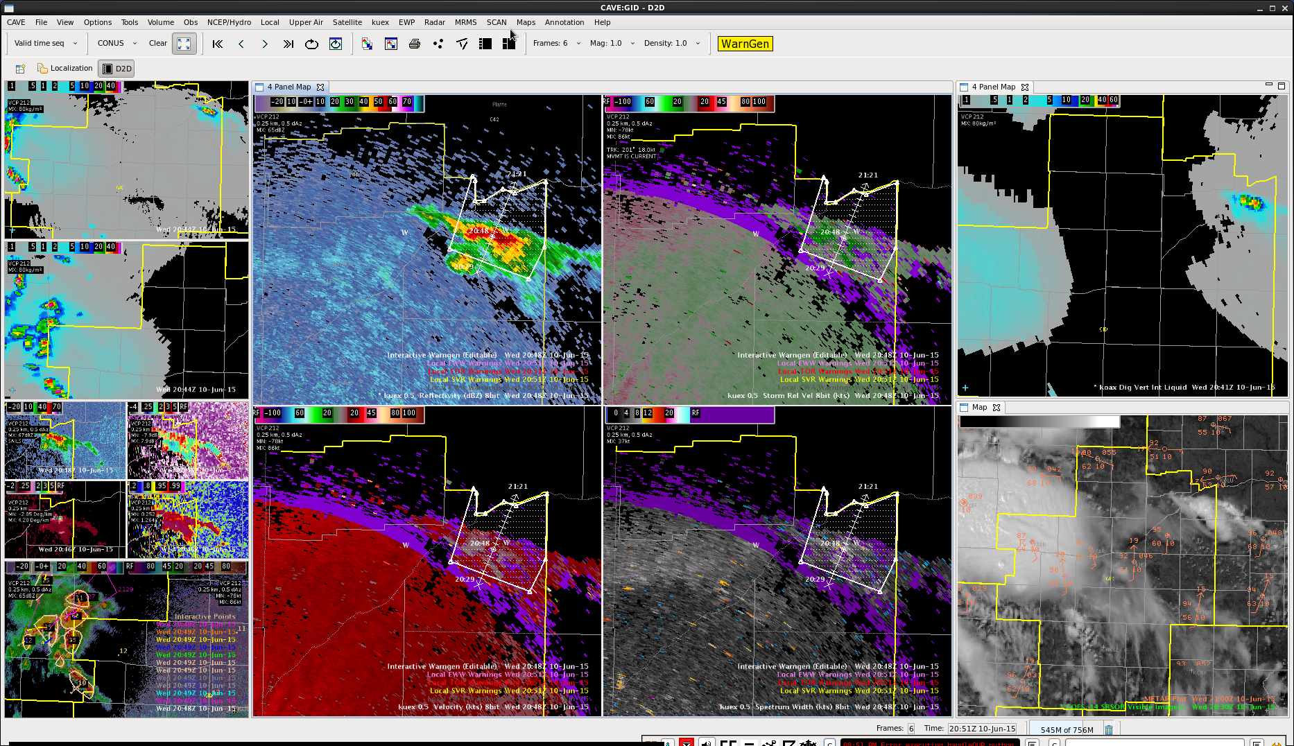
Finally have the cell to our west edging into our region. Given quite a bit of anvil clouds likely cooling that region down, would expect less winds. Also line is showing evidence of weakening some. Put out SPS for 40 mph and possible nickel-sized hail, despite upstream reports of some larger hail.
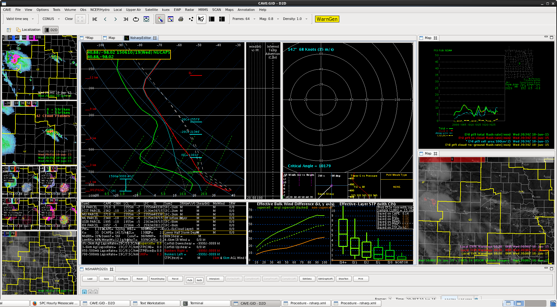
NUCAPS sounding just south of the front modified to similar values of CAPE/DCAPE to RUC soundings.
Still no CI over the area, though we have had some cells develop.