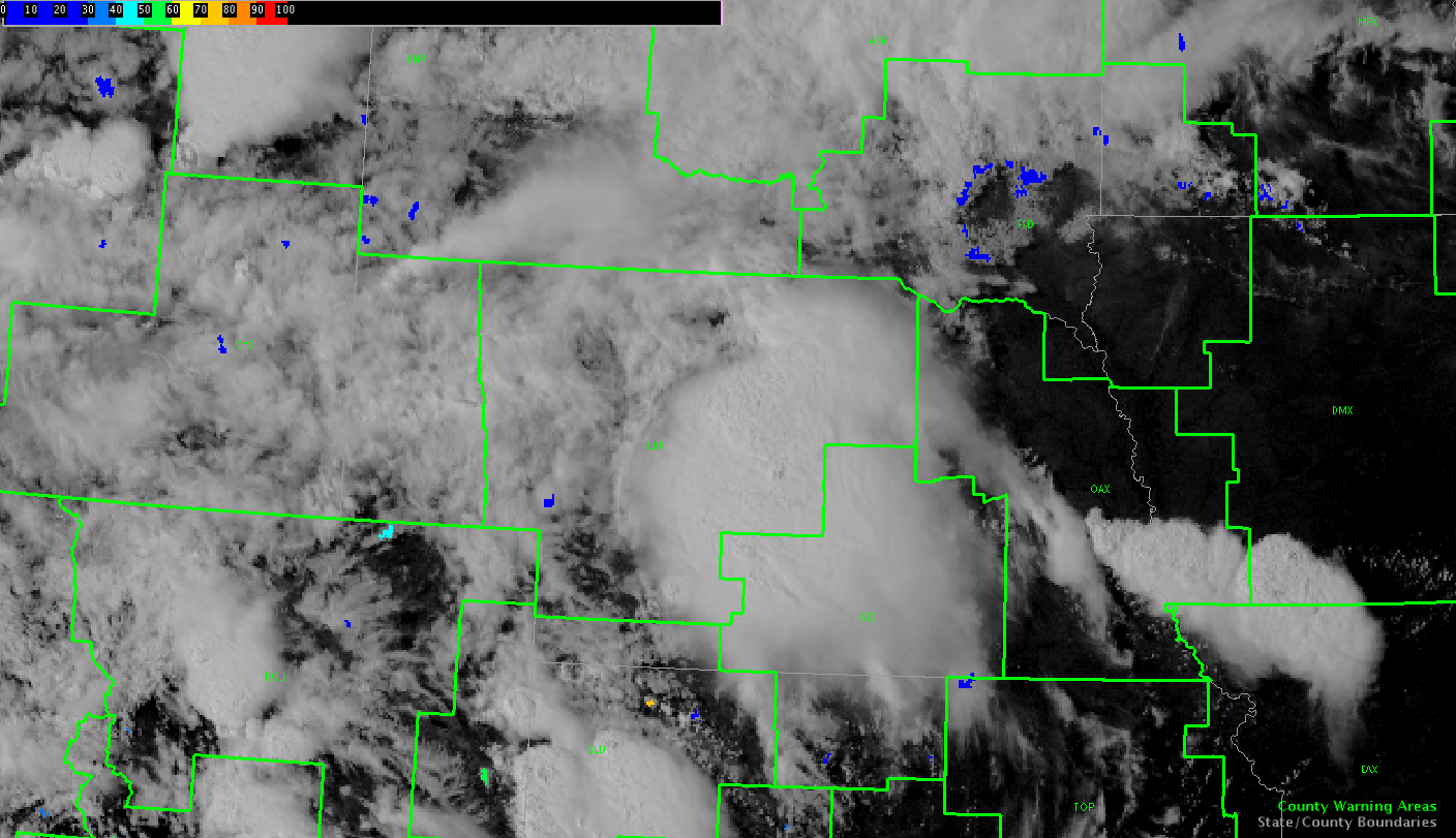
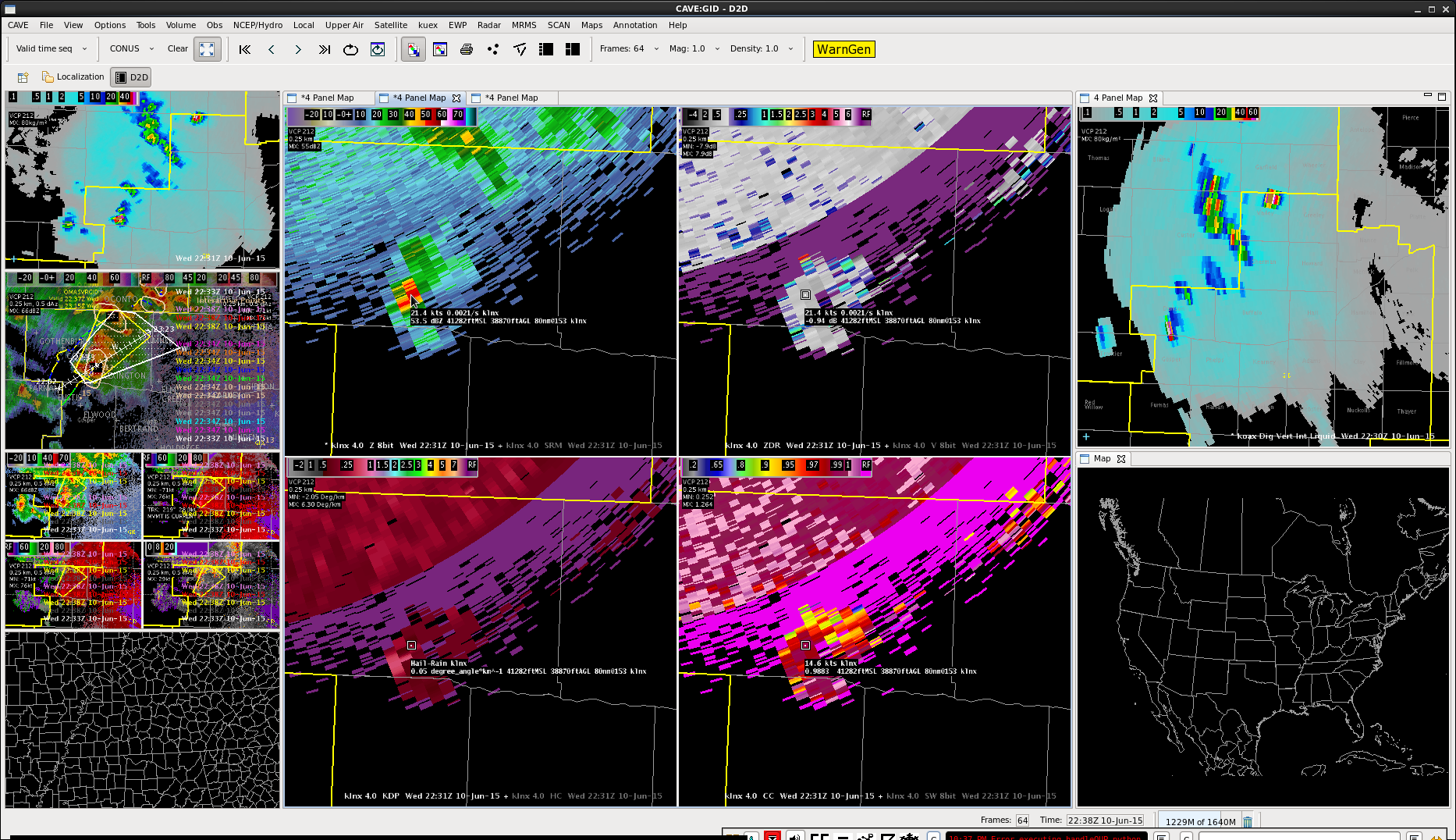
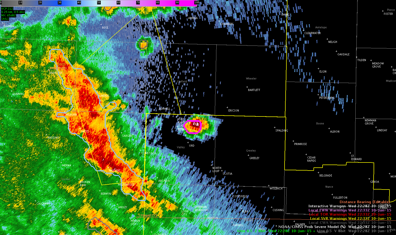
Overshooting Top picked up, lightning and DVIL picked up. Given how quick small cell in Valley county picked up earlier decided environment healthy enough for better development.

Official websites use .gov
A
.gov website belongs to an official government
organization in the United States.
Secure .gov websites use HTTPS
A
lock (
) or https:// means you’ve safely connected to
the .gov website. Share sensitive information only on official,
secure websites.

General Information and News
Overshooting Top picked up, lightning and DVIL picked up. Given how quick small cell in Valley county picked up earlier decided environment healthy enough for better development.
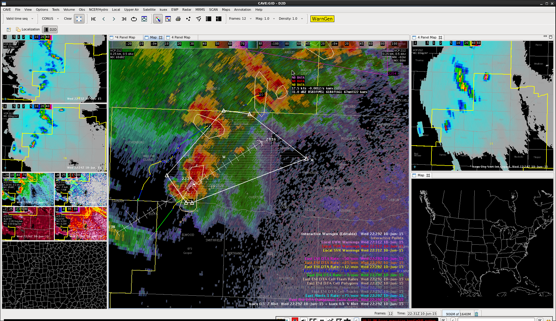
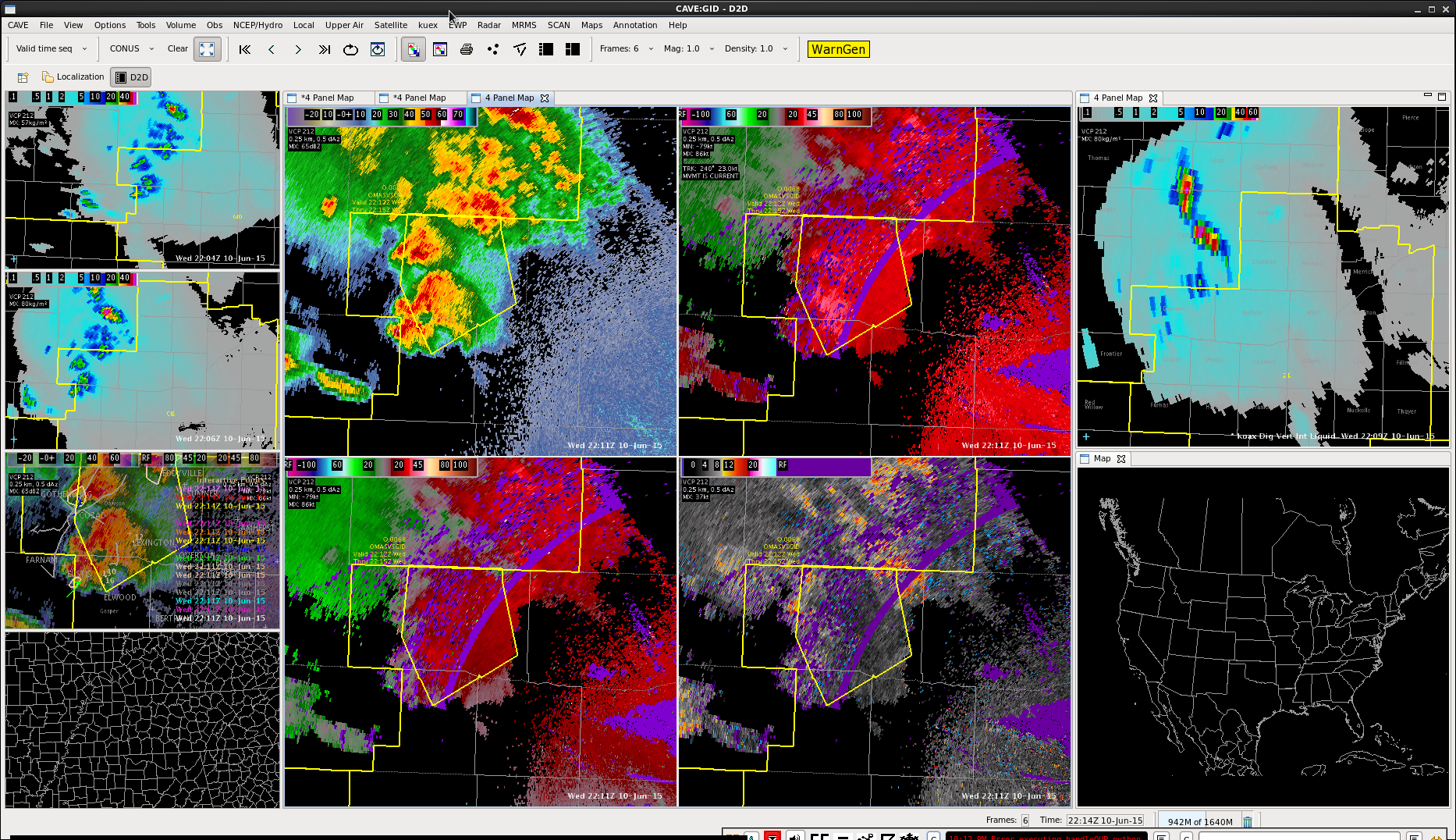
Issued warning on storm to the west of the radar…prob severe took a big jump while we were looking at it…after I had issued the warning we also looked at the lightning jump data and noticed a significant jump to 3 alpha.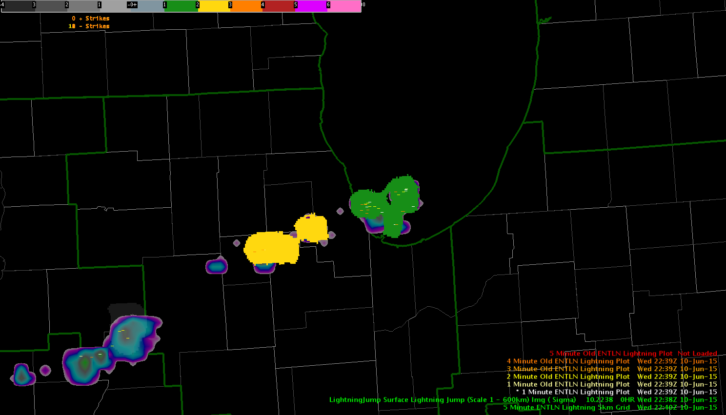
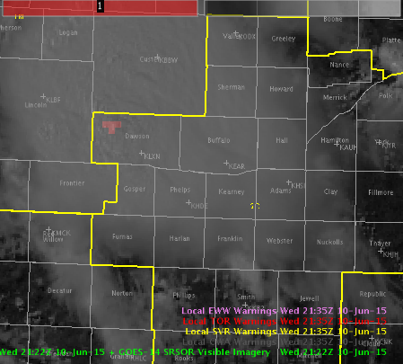
Line coming in from North Platte CWA is weakening some according to DVIL and lack of recent Overshooting Tops. Decided to go with an SPS for gusty winds, to 50 mph.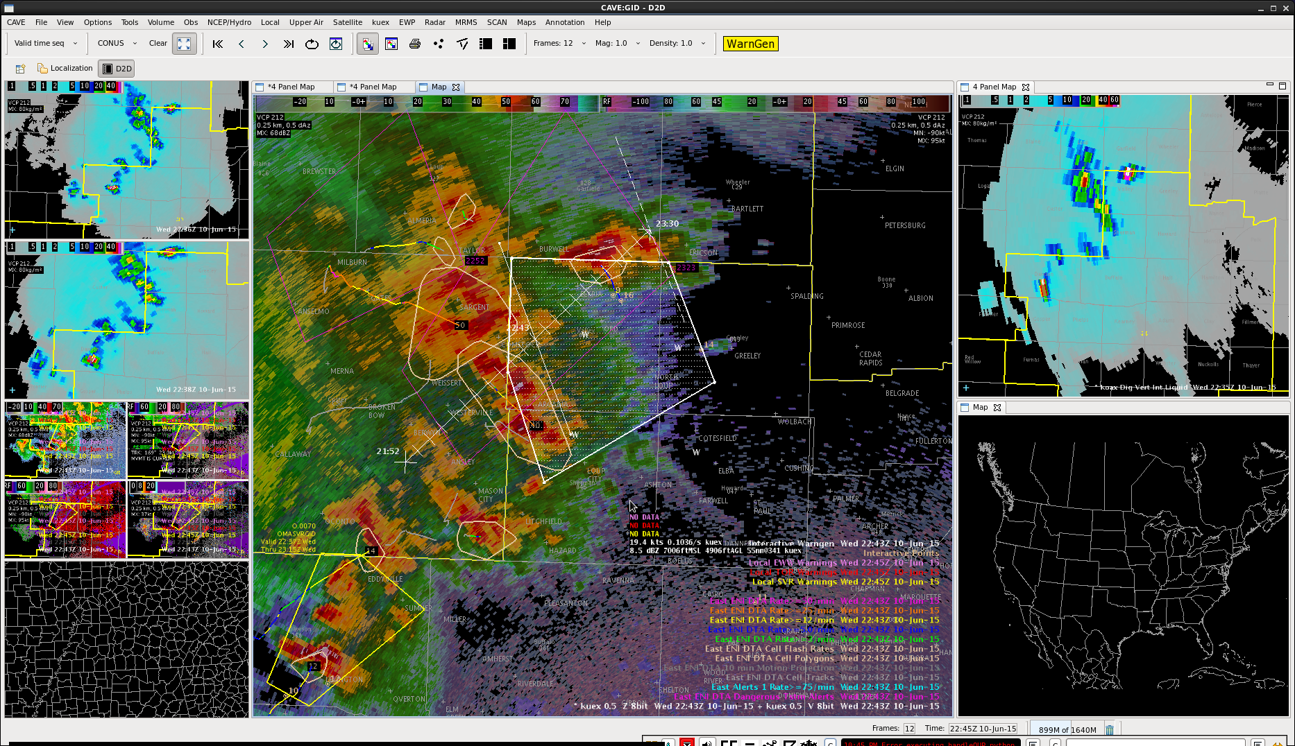

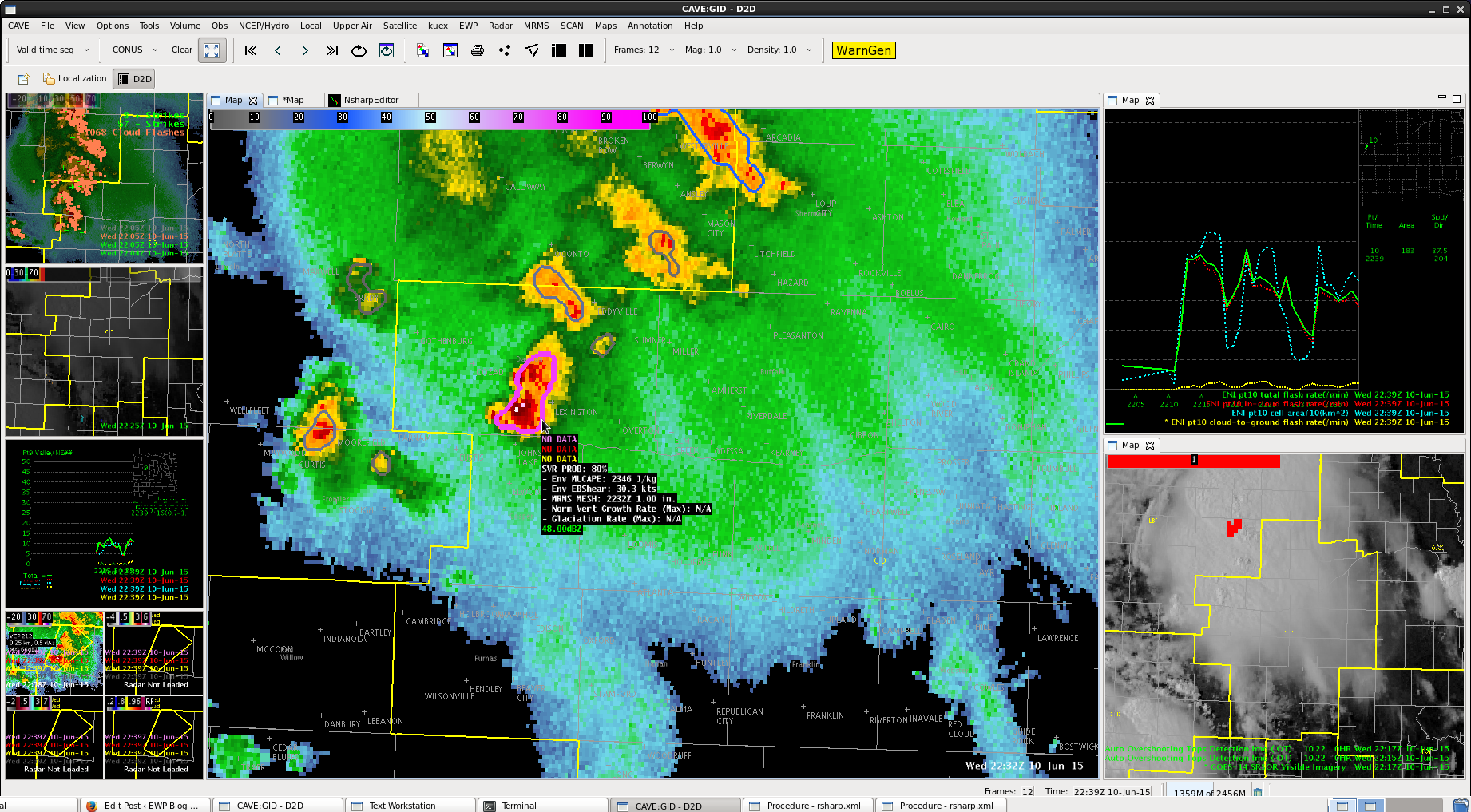
Issued a tiny 15 minute warning for a storm in the northern portion of our CWA. ENI data showed a lightning “jump” from nothing to about 10-12 quickly. This coincided with a jump to 60 dbz to 25kft and 55 dbz to 35kft. SevereProb also jumped quickly up to 90% right on our CWA border.
-Shasta
All tilts indicated high dbZ’s to ~40 kft from LNX and UEX radar. DVILs spiked up and ProbSevere jumped to likely levels.

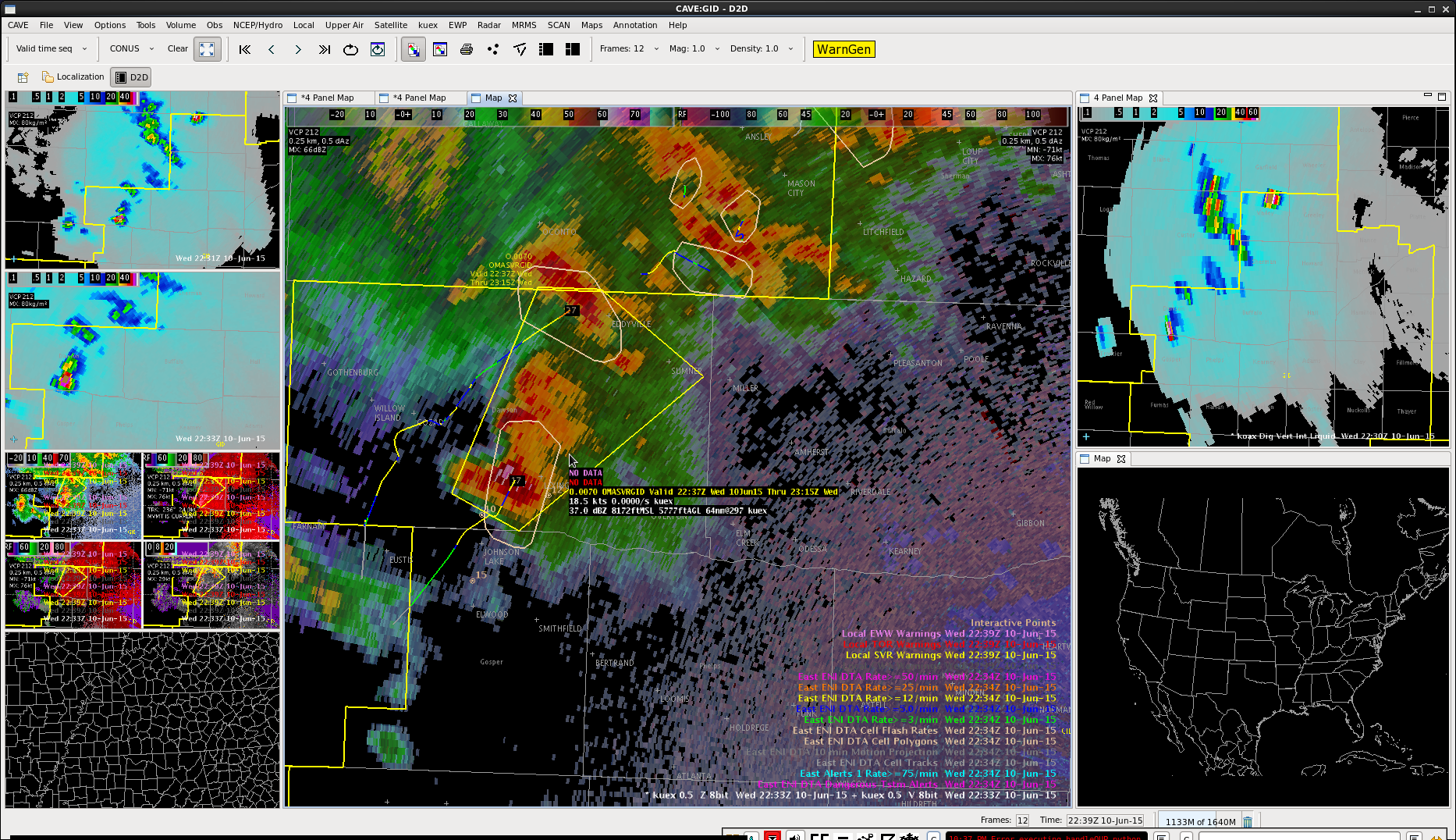
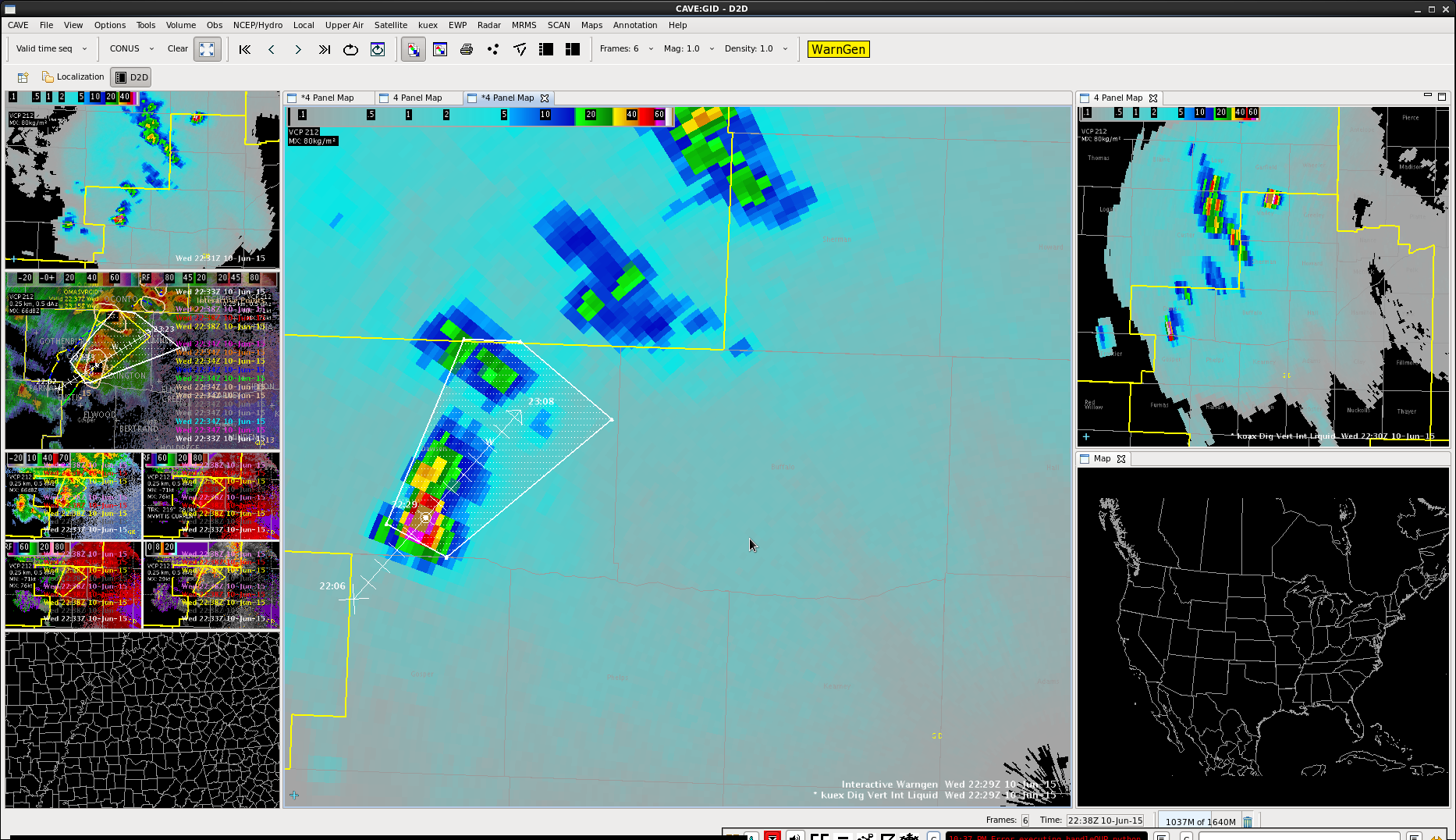
Seeing this cell perk up again in Dawson county. Had a brief overshooting top signal there as well as higher DVILs. Decided to go with an SPS there, given what should be a fairly stable low level airmass given earlier cells.
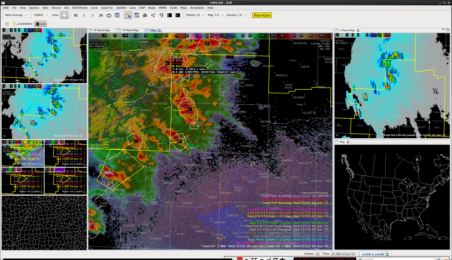
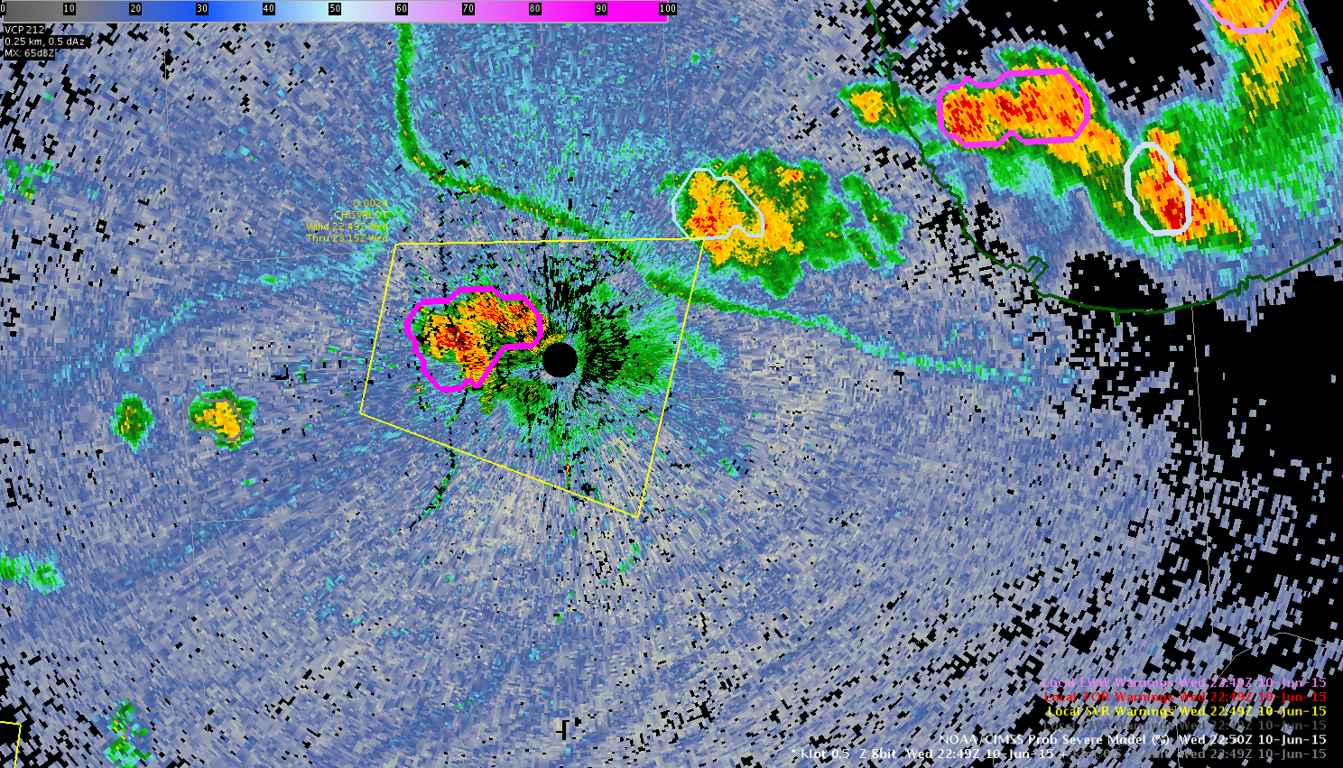
Another case of the bright pink contour grabbing my attention from writing previous blog post. Cell not in area yet, but will be watching as it moves NE into our CWA.
-BT
DVIL coming down from all radars. Higher dbZ’s now in the low 22 kft range. Lightning coming down
ProbSevere down as well, time series on the southernmost cell dropping off as well.
 Continue to have an overshooting top. Also heard a report from a neighboring CWA of 57 mph winds in Custer county, a little out ahead of my previous warning box. Decided to go ahead and issue a downstream warning to cover that area as well.
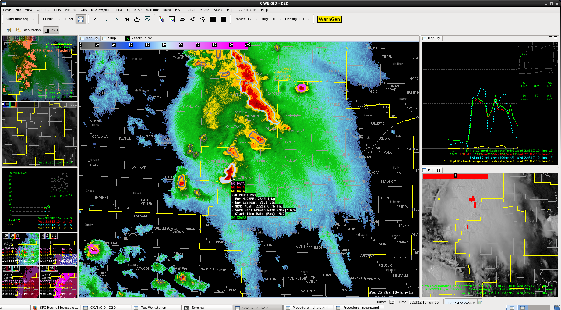
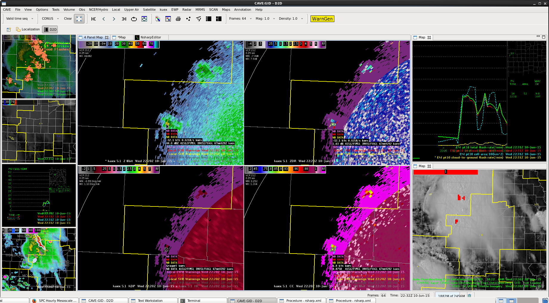
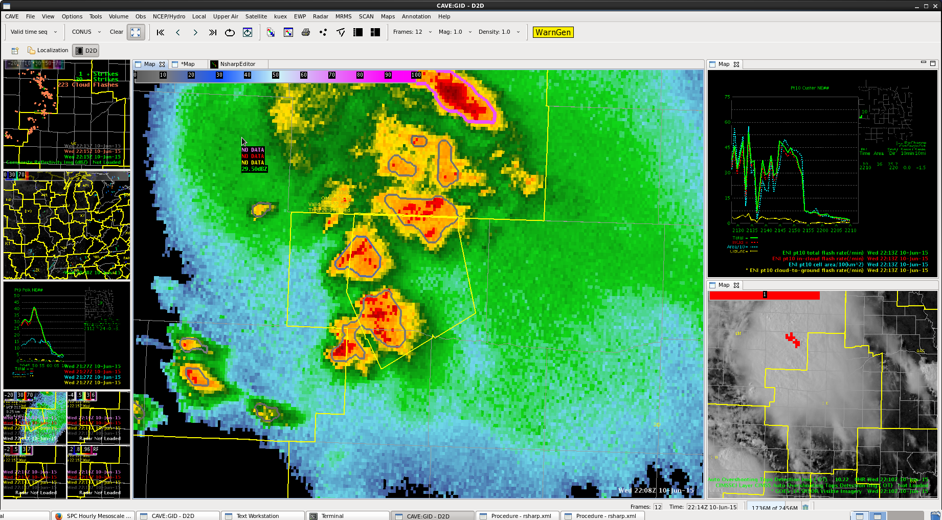
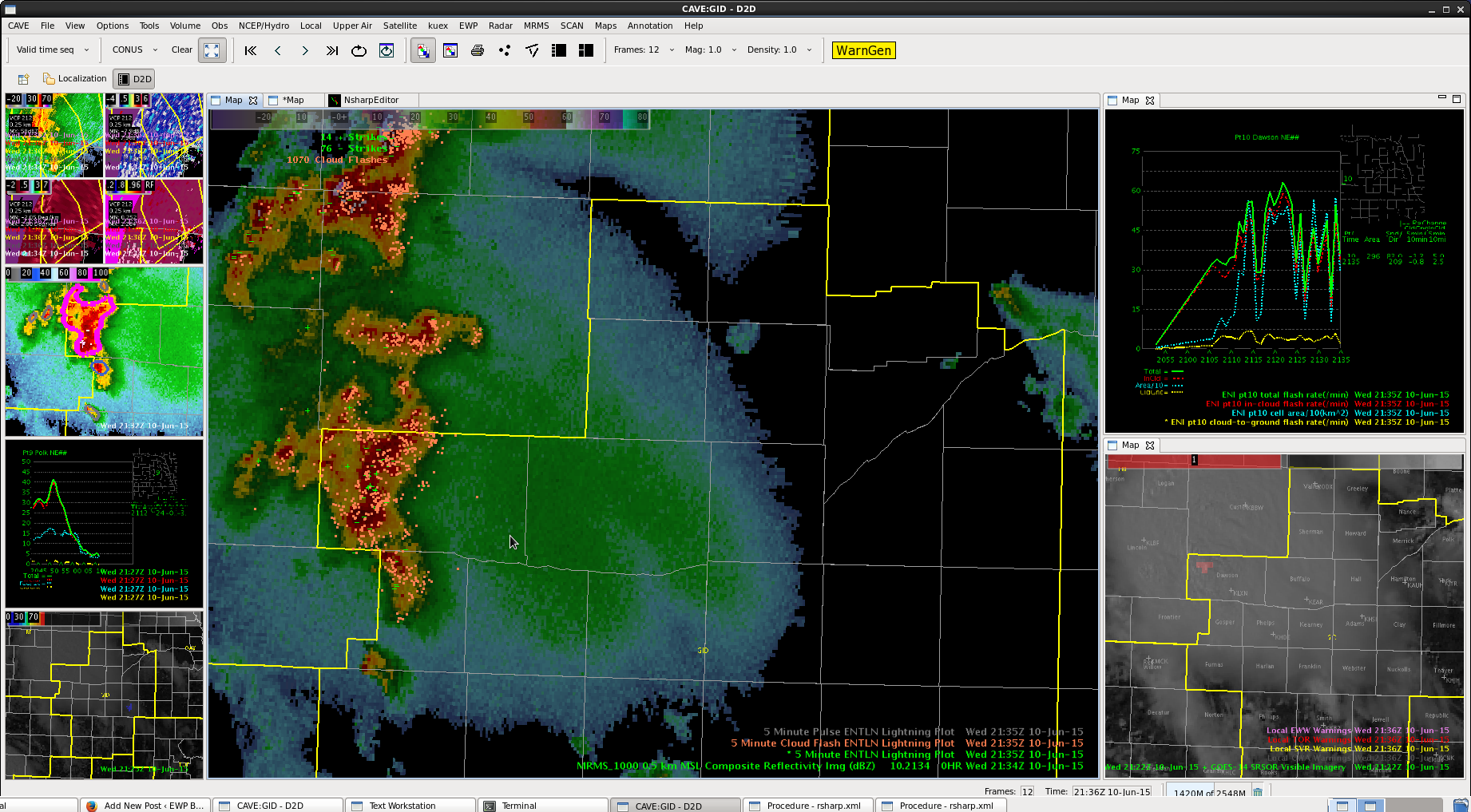
 Still have tall cells in the middle, matching up with that good OT.
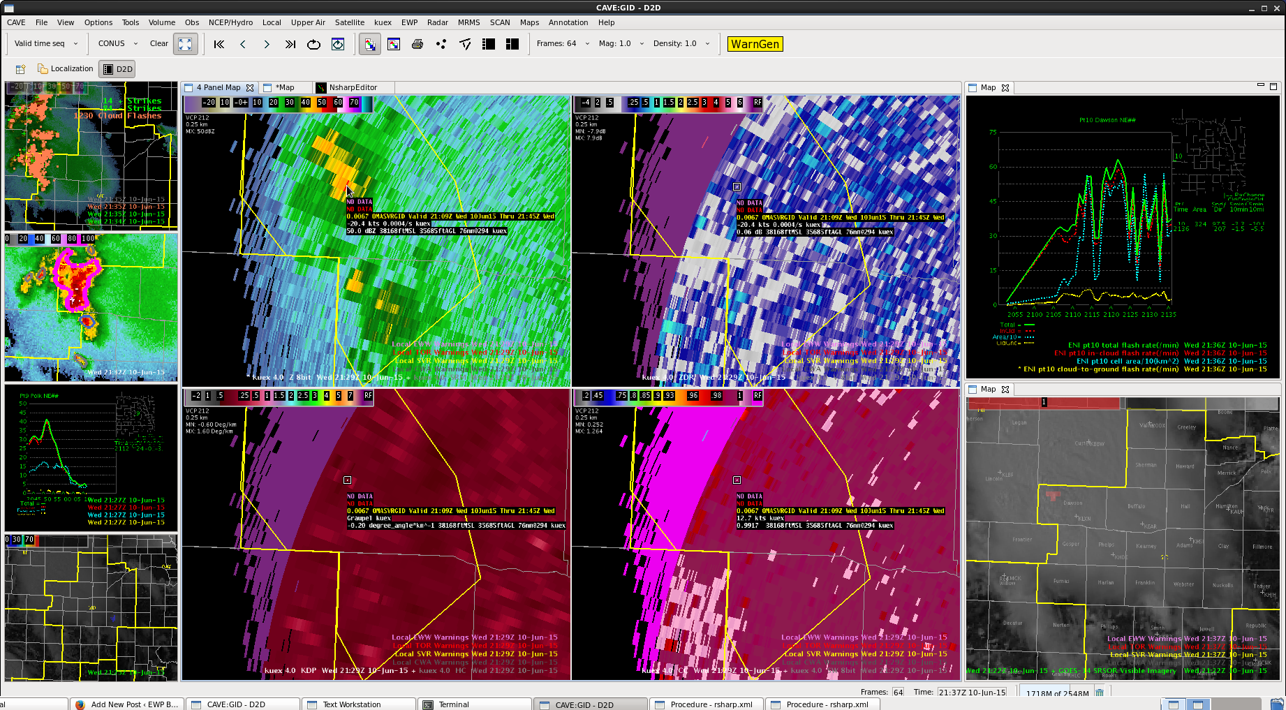
 Plenty of cloud to cloud lightning, but notice on the upper right the time series following the storm. The storm tracking “blobs” merged and broke up several times.