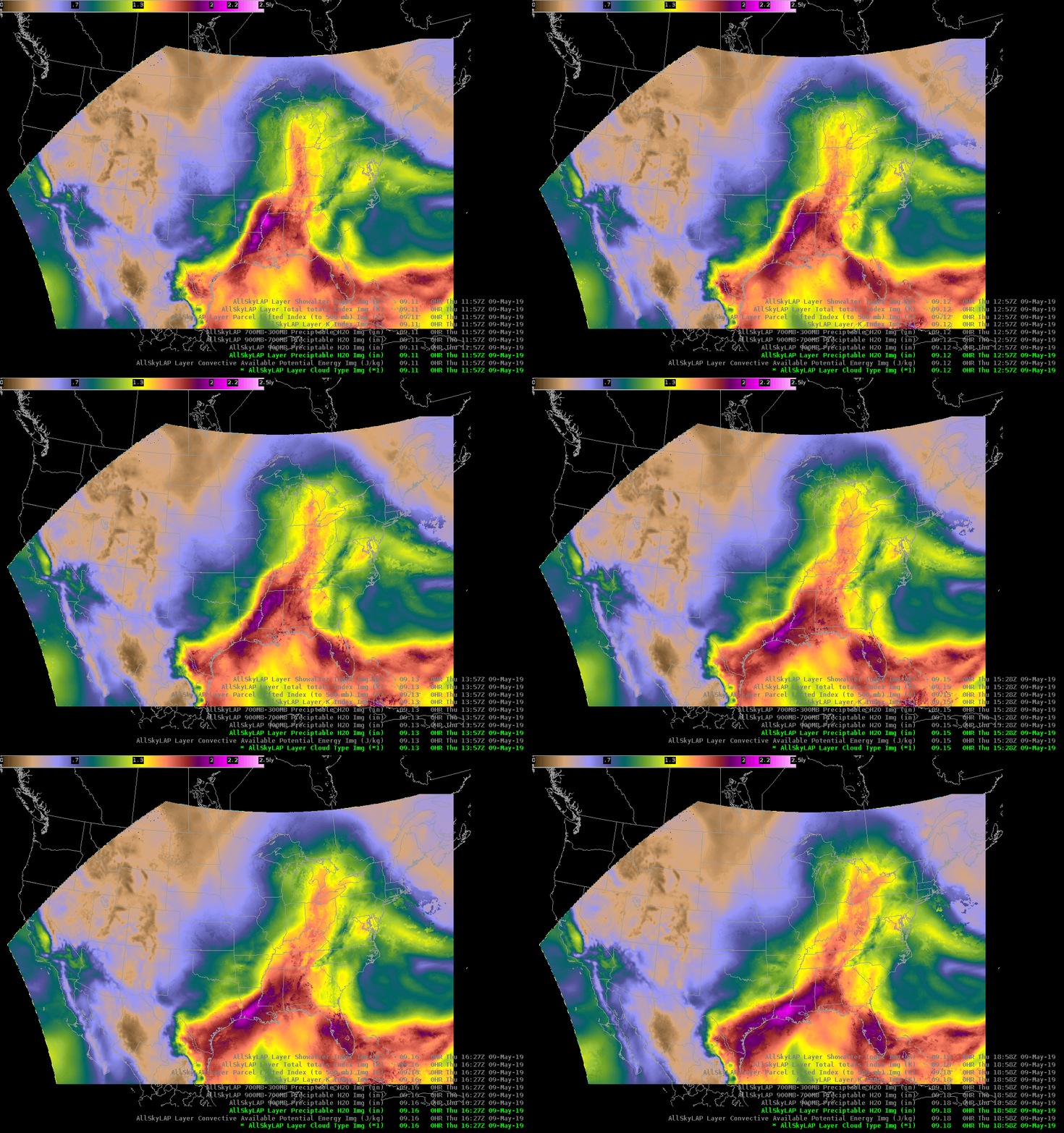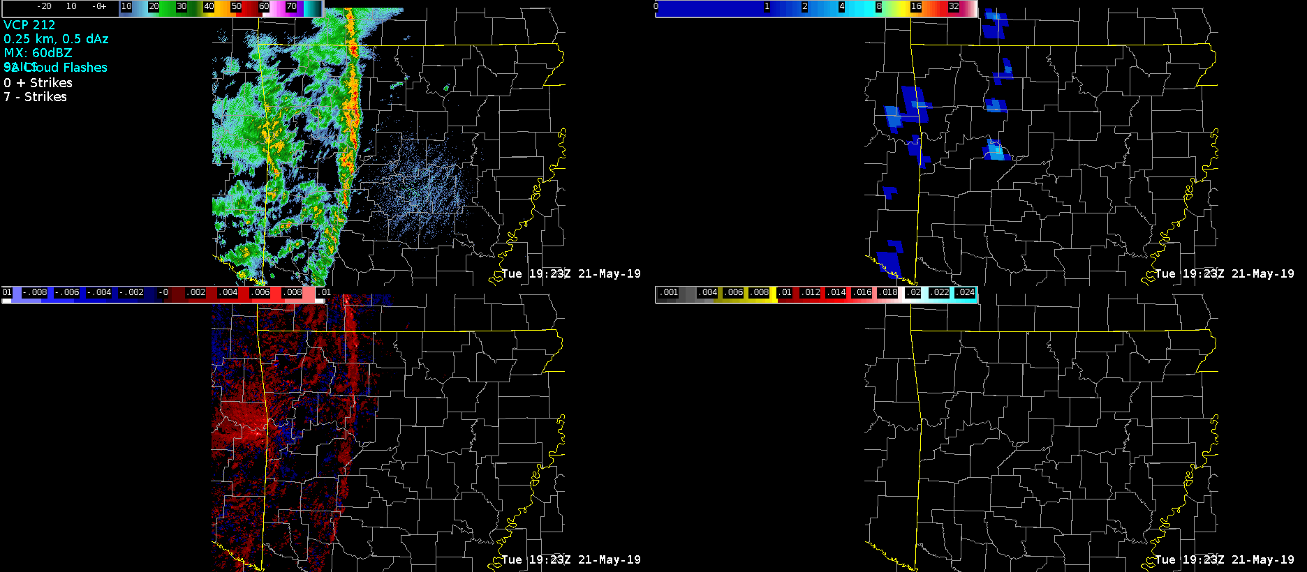
Radar image of a severe QLCS in NW Arkansas at 1923Z. This line has been producing wind damage and a few spin up tornadoes. Next I’m going to diagnose column moisture and instability downstream, across north-central Arkansas using satellite and satellite-model merged products.
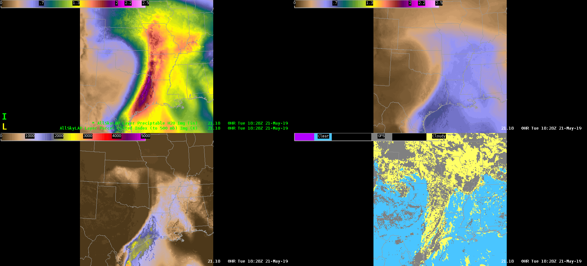
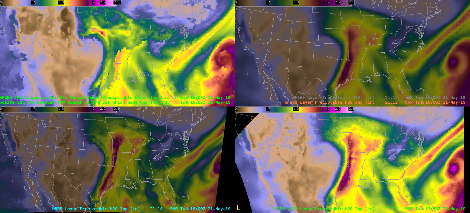
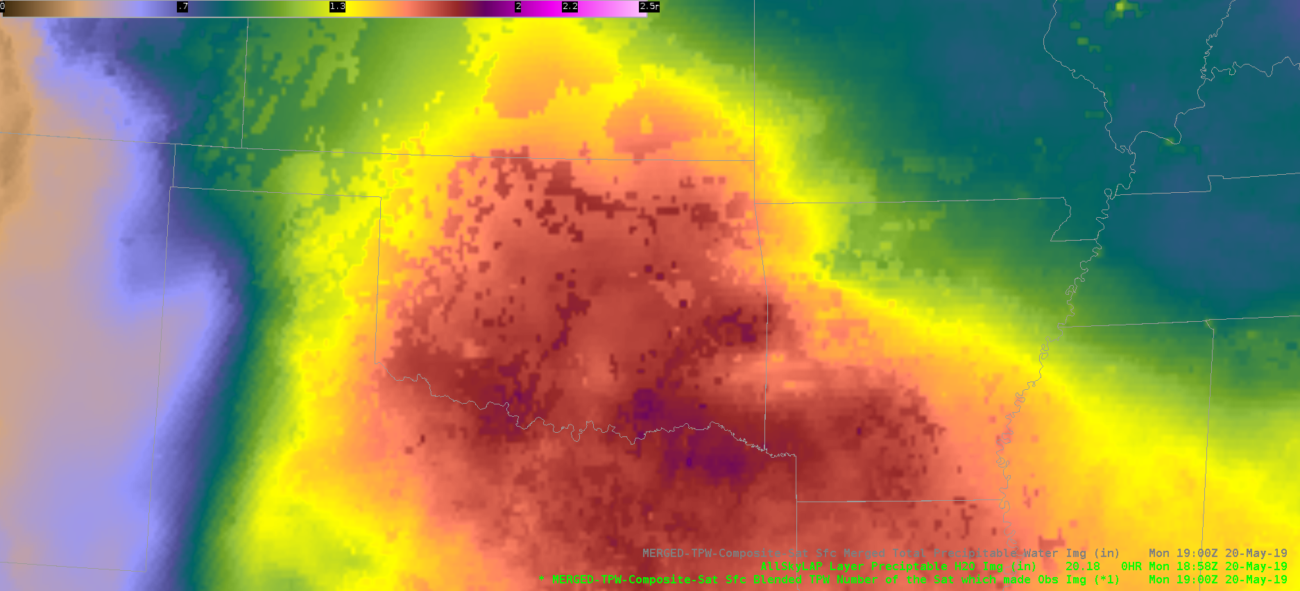
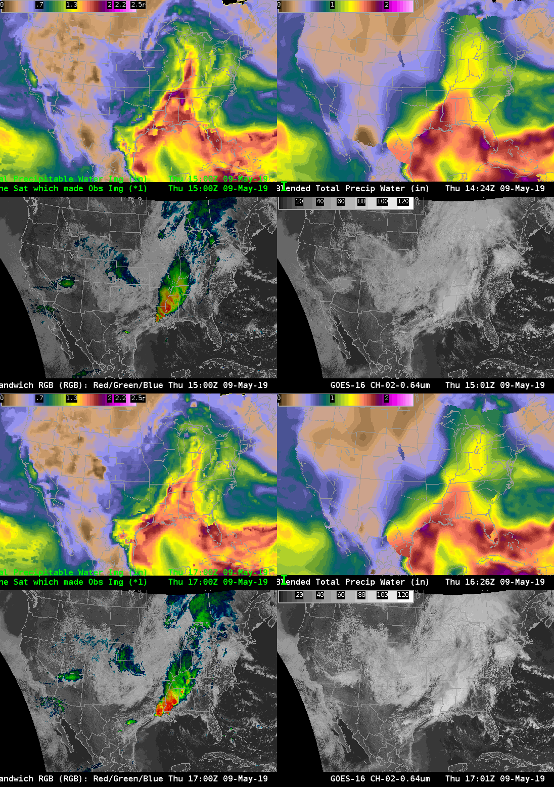
The GOES-16 AllskyLAP showed a deep plume of moisture extending from the Gulf of Mexico northward into Arkansas and Missouri. Specifically, in north-central Arkansas, sampled PWATs were around 1.60 inches and MUCAPE was near 700-800 J/kg. Skies were mainly clear in this area, which resulted in a relatively smooth appearance in the PWAT and CAPE plots. Interestingly, and not plotted here, the 700-300mb AllskyLAP PWAT had lower values or drier conditions to the east of the approaching QLCS. This presence of mid-level dry air may be conducive for severe weather over north-central and northeast Arkansas over the next 1-3 hours — especially for damaging winds.
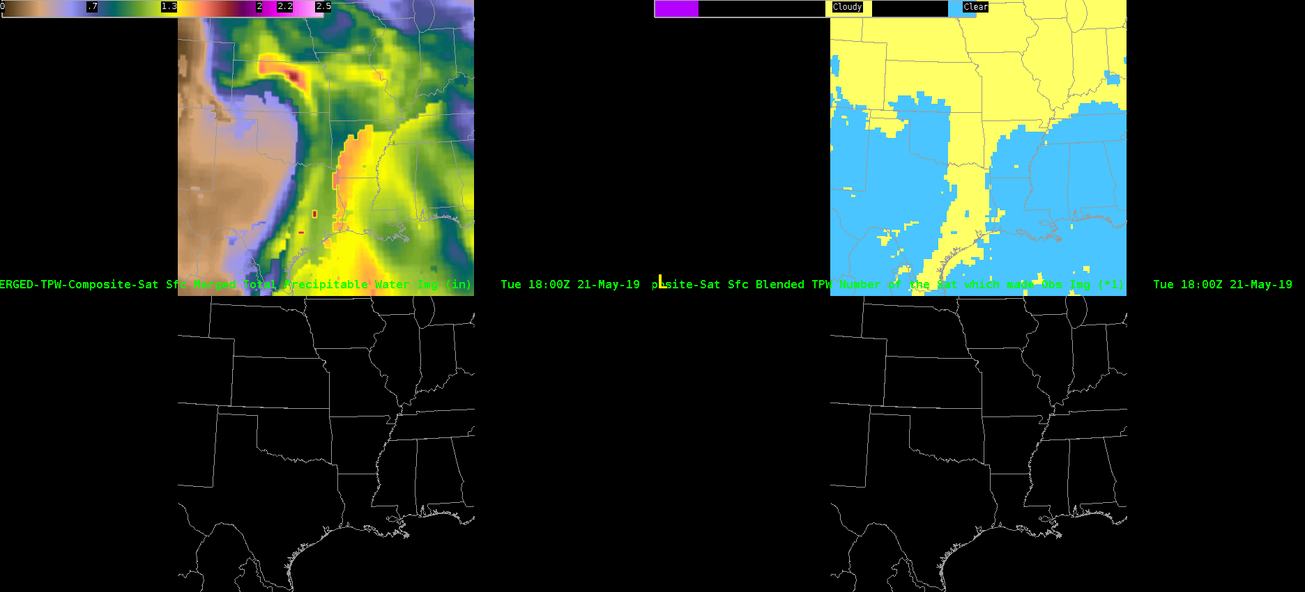
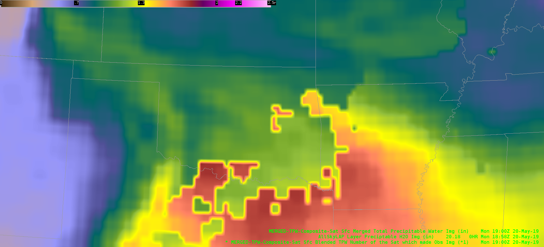
Merged TPW data at 19Z estimated PWATs near 1.50 inches into north-central Arkansas. However, there was a sharp discontinuity from 1.50 to 1.00 into the northwest part of the state where widespread cloud cover was present and the data originated from polar orbiting satellites (some of which could have been advected in). The SPC mesoanalysis did not display a sharp gradient in PWATs in this area, but rather had a gradual decrease to 1.30 inches.
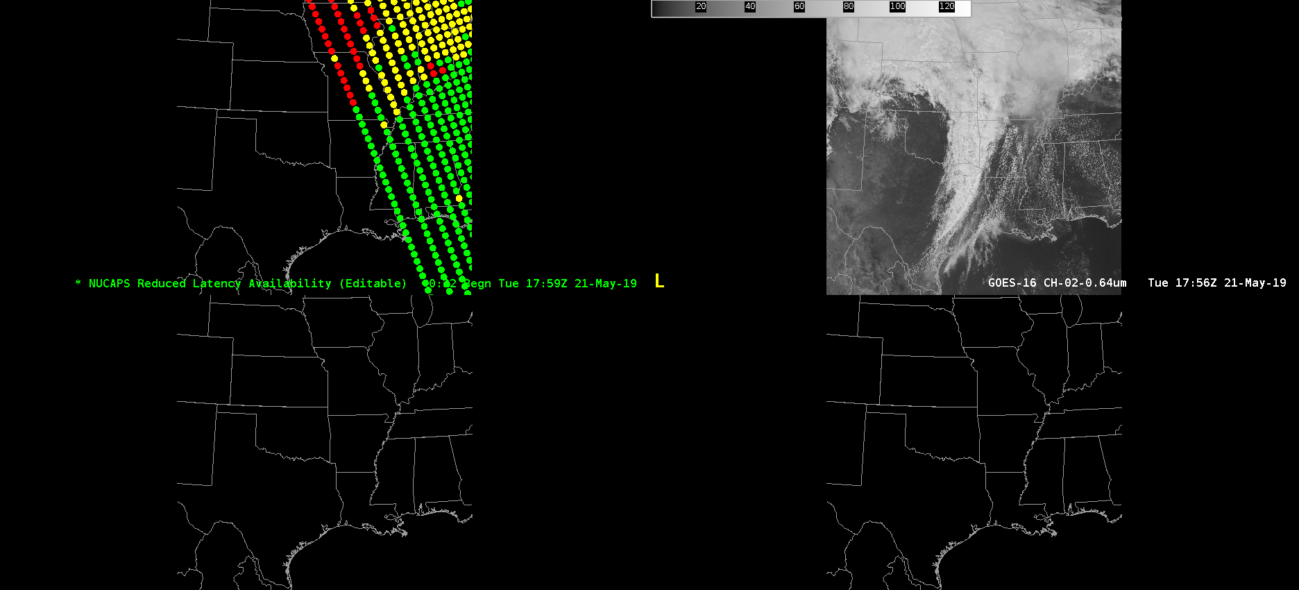
Not the best satellite pass with my area of concern on the far western fringe of the NUCAPS data. Surprisingly, the sounding data on the edge in northern Arkansas was nearly identical to the SPC mesoanalysis data with values near 1200 J/kg! It likely helped that skies were mainly clear at the time of the pass. The GOES-16 AllskyLAP data was underdone in comparison. As mentioned, only up to 700-800 J/kg.
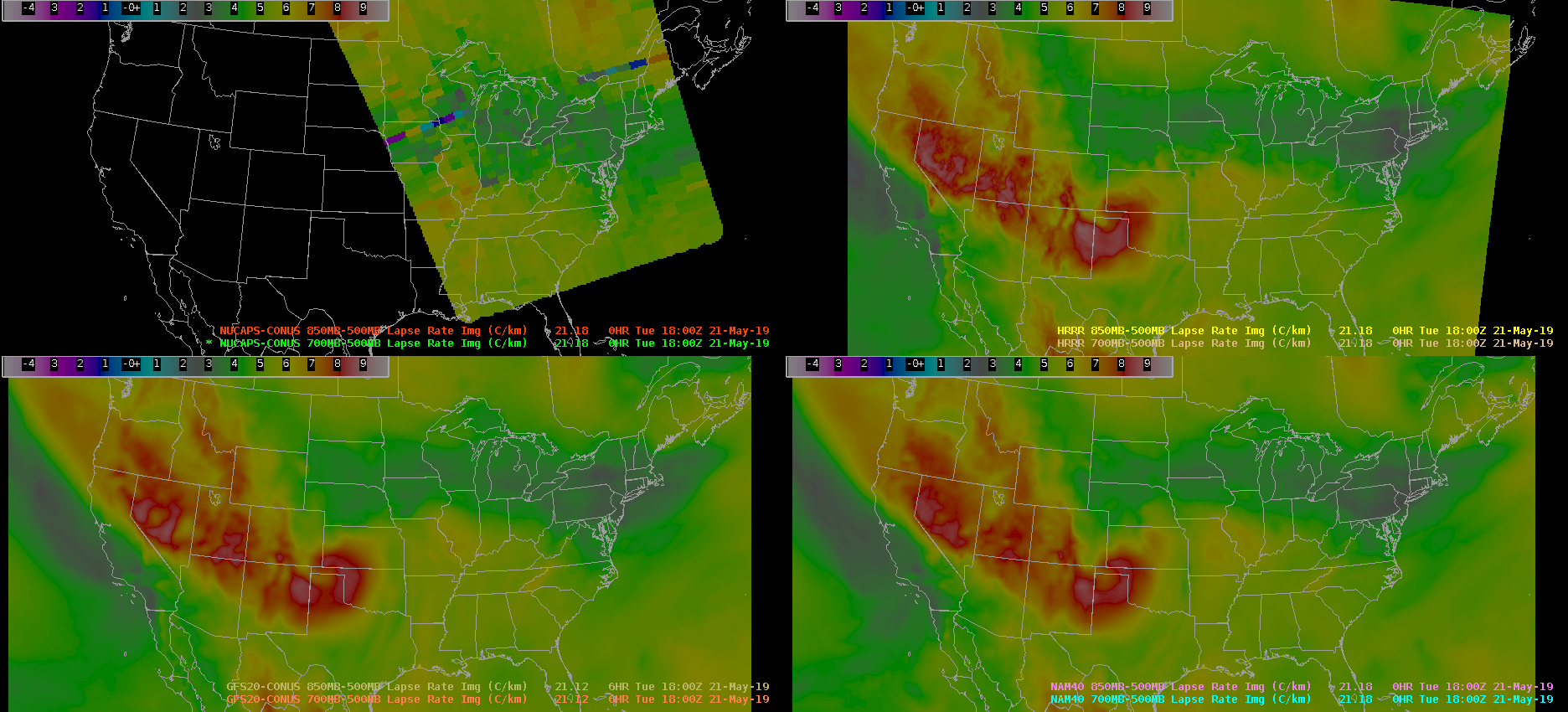
NUCAPS 700-500mb lapse rates in northern Arkansas are close to model forecasts. The NUCAPS in this pass was indicating lapse rates around 6.2 C/km. Model data was generally a little bit lower around 5.8 C/km. The SPC mesoanalysis was on the high end near 6.5 C/km. Roy
