An official website of the United States government
Here’s how you know
Official websites use .gov A
.gov website belongs to an official government
organization in the United States.
Secure .gov websites use HTTPS A
lock (
) or https:// means you’ve safely connected to
the .gov website. Share sensitive information only on official,
secure websites.
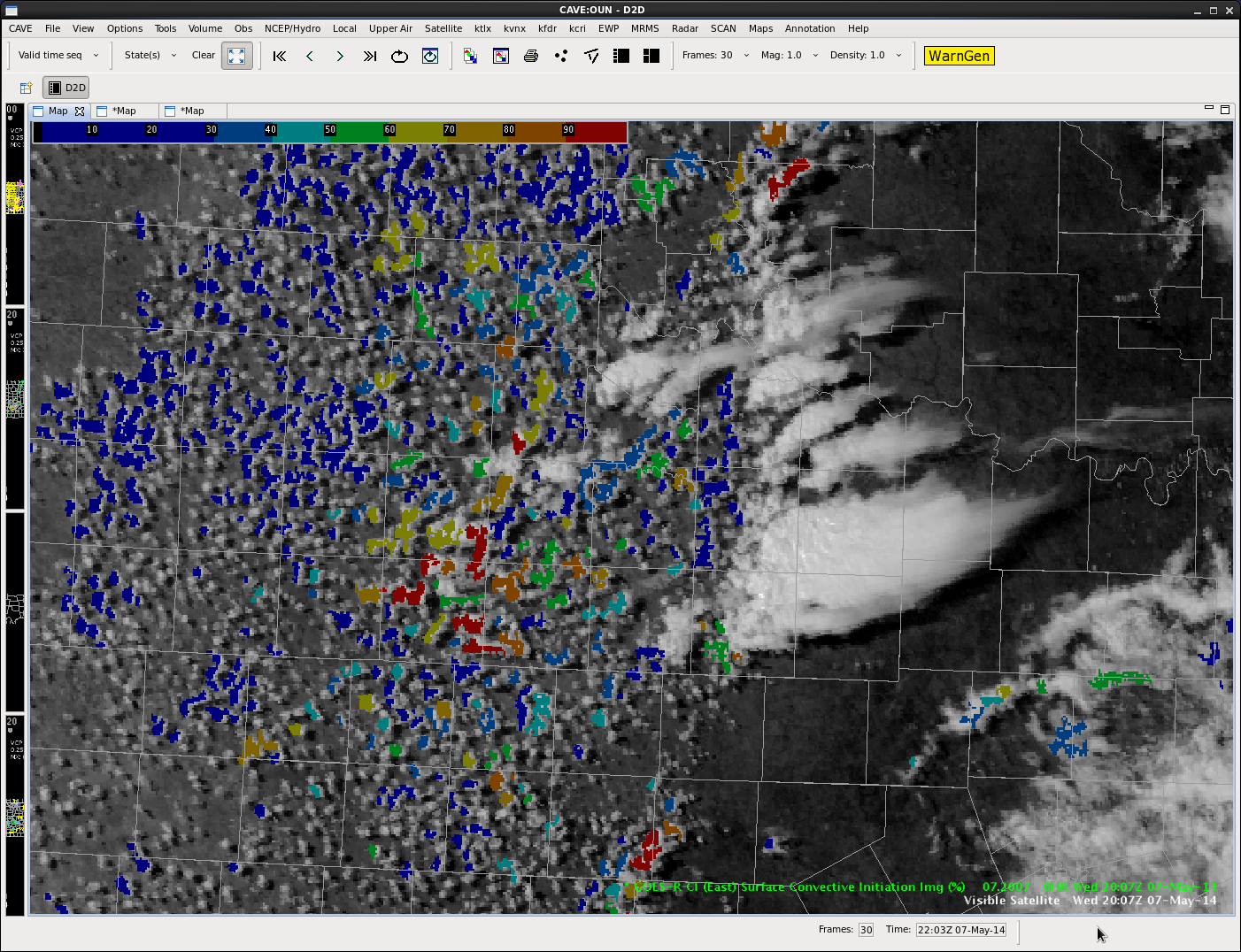
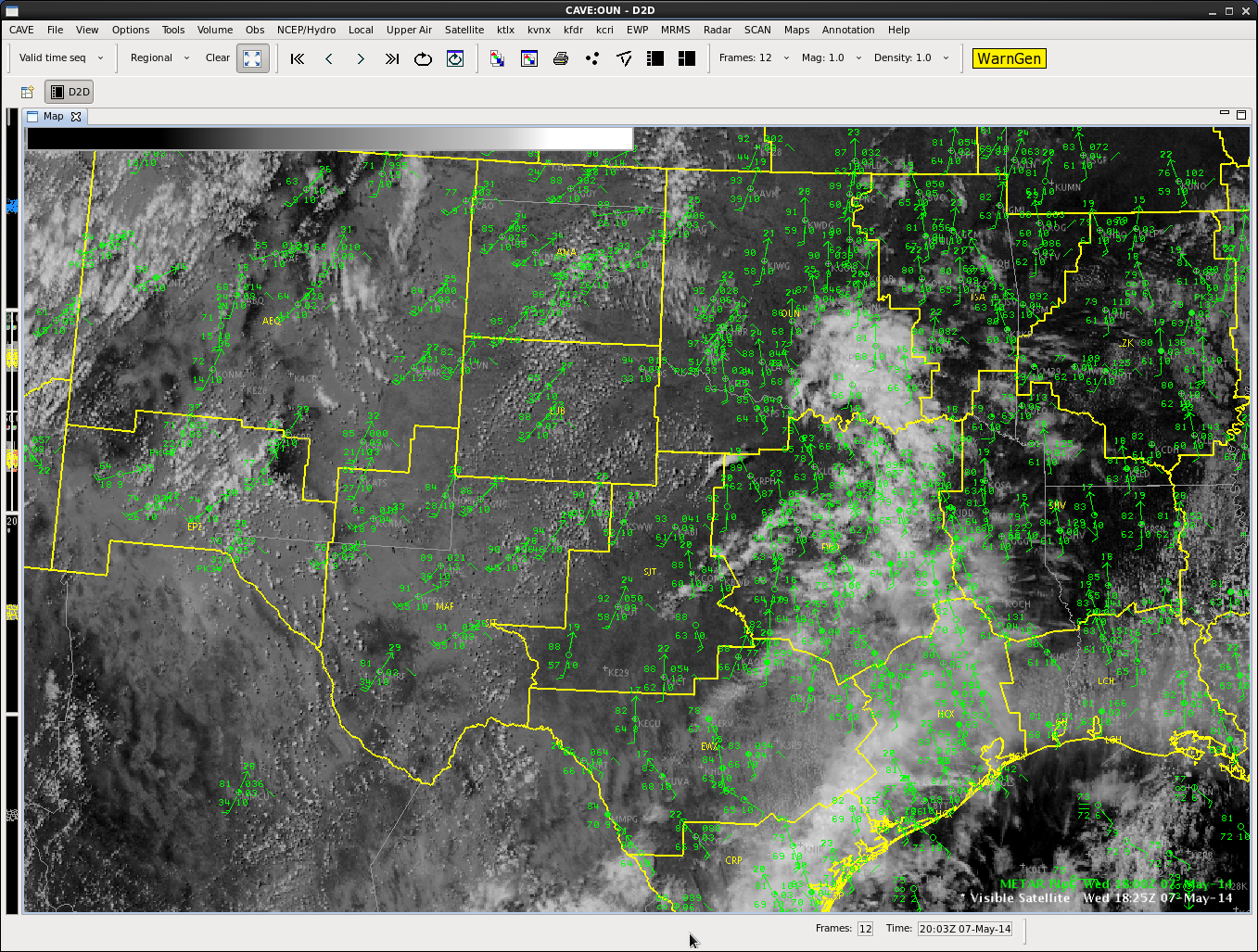
As seen in the first image, CI is picking up on come cloud cover out ahead of the main convection. Probabilities were 50% and higher in this area at the time. Shortly after, thunderstorms began to develop just to the south of the main line that had already been warned on. These new storms later merged with the northern cell to produce more of a cluster. This example shows how the CI tool has some skill at time that cirrus isn’t inhibiting detection and can also raise awareness on development in a messy area.
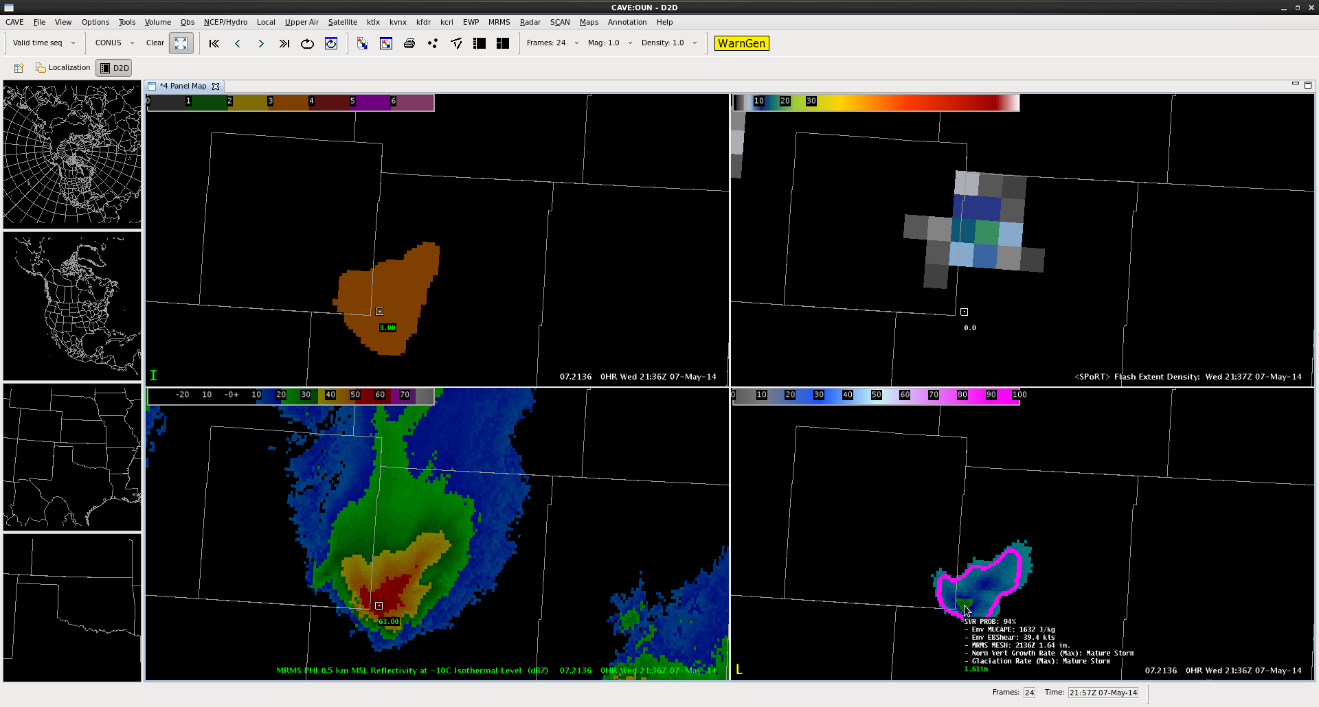
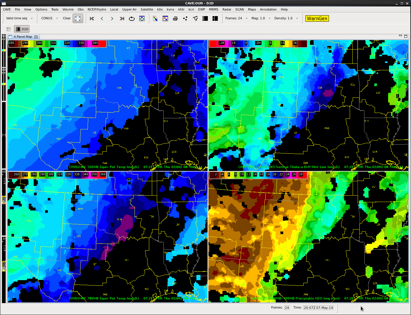
For the first time, we have storms in an LMA domain strong enough to produce images on lightning jump grid.
The four-panel image below contains a 3-sigma lightning jump (top left: orange fill region) the pGLM lightning grid (top right: max flash extent density as high as 18 flashes per min), MRMS reflectivity at -10 C (bottom left), and ProbSevere (94%) overlaid on MRMS MESH (bottom right).
AWIPS2 Screenshot from 2136 UTC on 7 May 2014.
This particular combination has provided a couple ideas for lightning jump algorithm development. (1) inclusion of metadata similar to the mouse-over ability of the ProbWarn product. The mouse over for the lightning jump should contain the current flash rate as well as the degree of jump in sigma. (2) Combination with a product similar to ProbWarn (if not, the ProbWarn product itself. This could provide the forecaster information from satellite, lightning and radar all-in-one product. The advantage this provides is that approaches a forecaster-over-the-loop type product without becoming a “black box” as all the information that is part of the product is also provided as metadata. I look forward to working with CIMSS-WI and other researchers on this type of development.
–K. Calhoun, Week 1 Coordinator and Lightning Jump PI
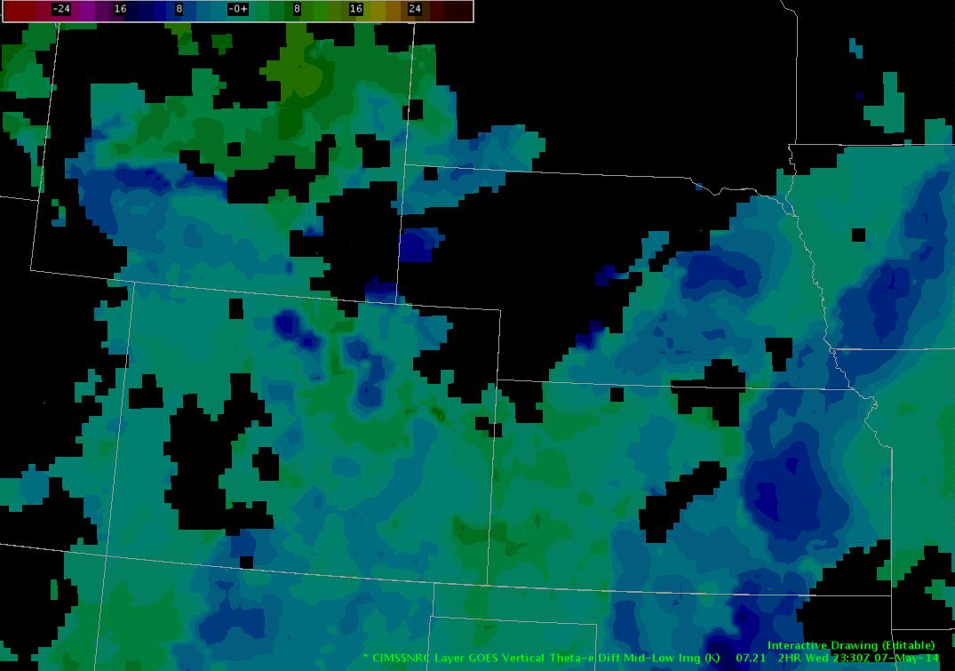
Nearcast forecast instability still at its highest across parts of CO, WY, and NE over the next few hours. Some data gaps here, but the surrounding trend in the data around the gaps lead me to believe there’s still a good road for these storms to travel and hold strength, if not intensify in some areas where daytime heating continues…
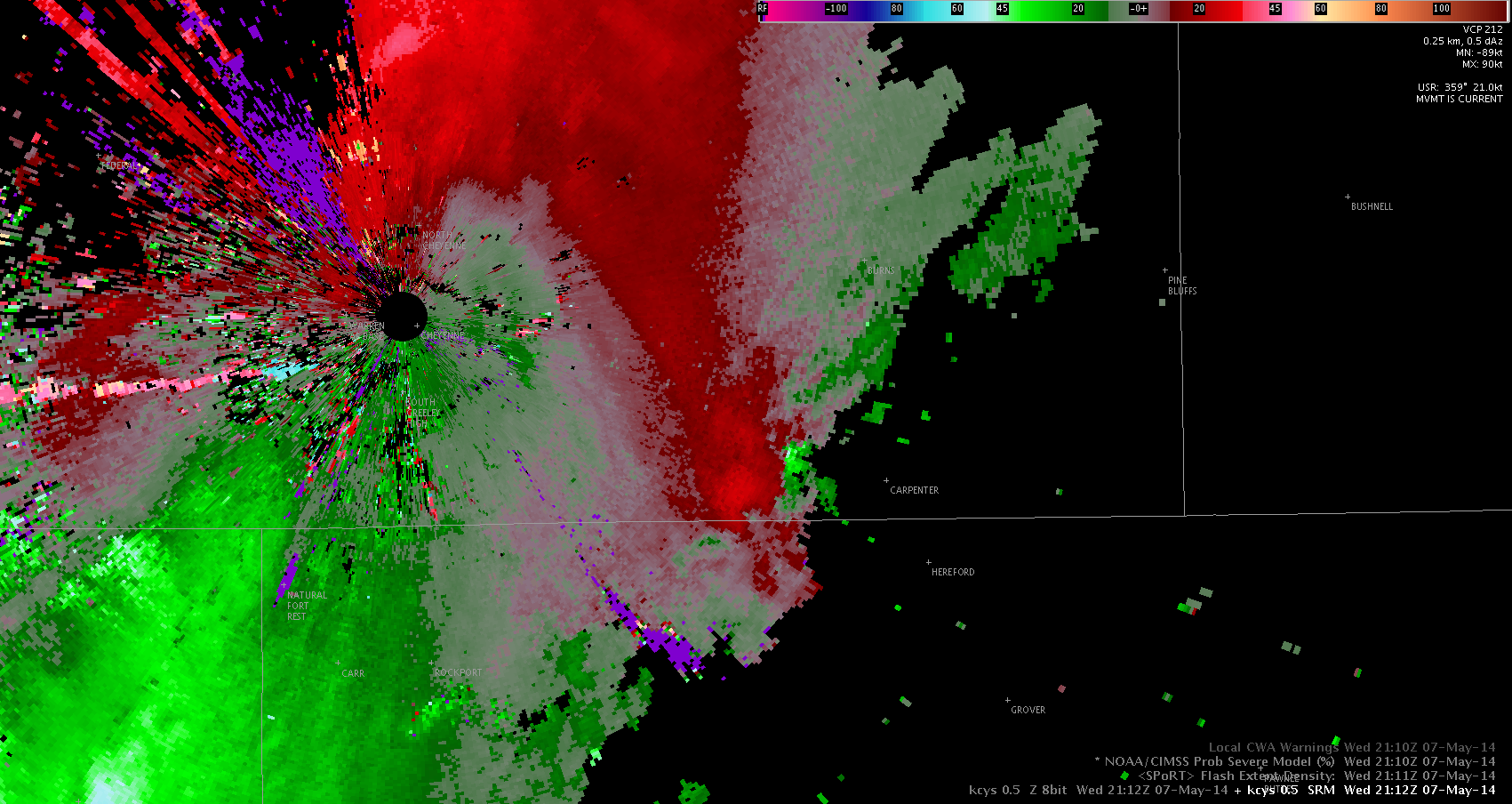
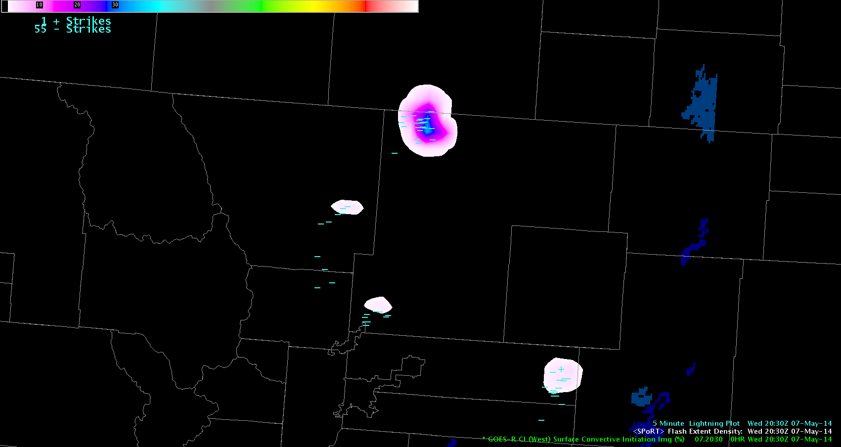
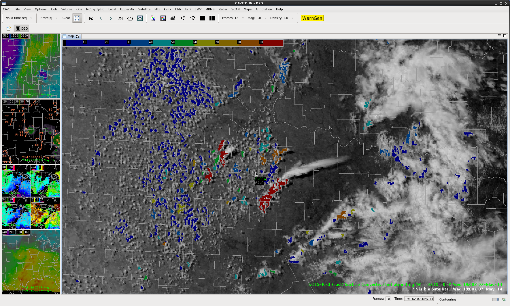
The storm that developed earlier this afternoon cycled a few times through its development. At times is showed decent rotation, which was warned on by the Denver WFO. The storm continued to show signs of some possible hail and weak rotation as it crossed the border into Wyoming. The lightning density tool did a good job in picking up on the storm, as show above. Lightning density seems to be a neat tool for awareness, not only for lightning being produced, but also what storms may be the strongest.
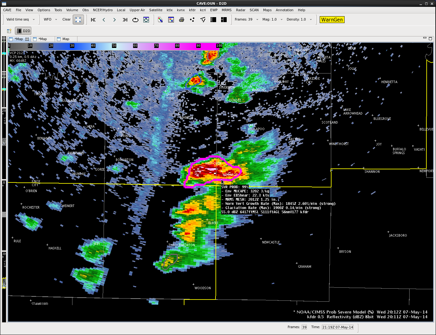
Just before 20Z, storms have developed and the Throckmorton storm looks to be close to severe threasholds. Confidence is high that a warning will be needed for the storm. Prob severe has reached 99% with estimated hail size around an inch. Growth rate and glaciation are strong.
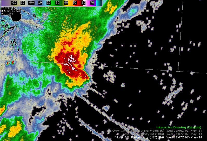
The storm weakened a bit as it entered the CWA, but then strengthened quickly. Growth rate and glaciation was strong. A warning was issued.
Storm moving into our area out of Weld Co., CO. Seems to have lost its rotational signature, but is already cycled a couple of times…and at the least has exhibited some signs of strong downdraft wind wrapping around. Jared issuing SVR for wind at 2115Z
of interest…total lightning has been relatively steady on this storm over the past 15 minutes. Only some ebbs and flows…nothing notable…
Forecasters are hard at work examining the experimental products in both the Norman and Cheyenne CWAs.
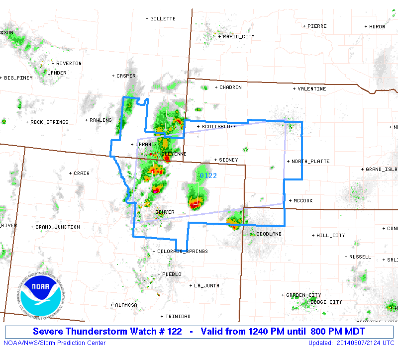
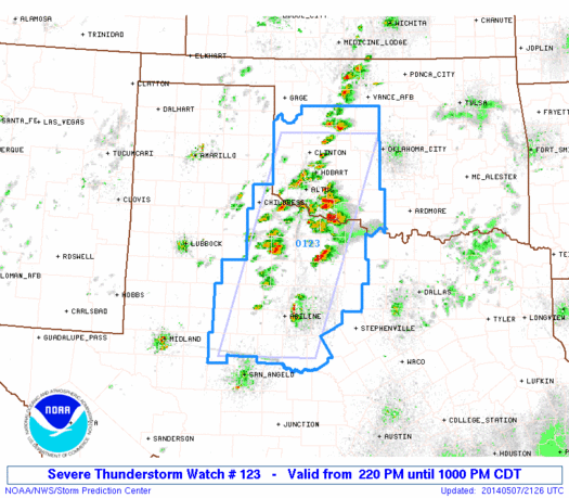
With upper-level support in place for the first time this week, both the Colorado region and Oklahoma region are already seeing convection and (nearly) severe storms. Severe Thunderstorm Watches have been issued for both regions of focus today with storms developing shortly after operations in the testbed began.
Colorado / Wyoming / Nebraska Watch
The pGLM lightning data is looking good over the Colorado region, but currently the OKLMA appears to be having some systematic problems.
Darrel is trouble-shooting visualization of the Lightning Jump Algorithm in AWIPS2 so that it can be viewed in either region. (currently limited to the floater domain which is only over OK)
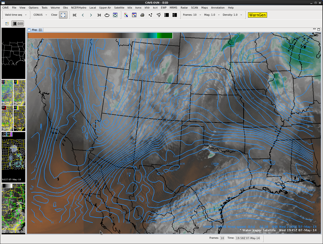
Upper level analysis has ridge shifting east with trof entering the four corners region. Upper flow is west to southwest across the southern plains with 120 knot jet across central Texas.
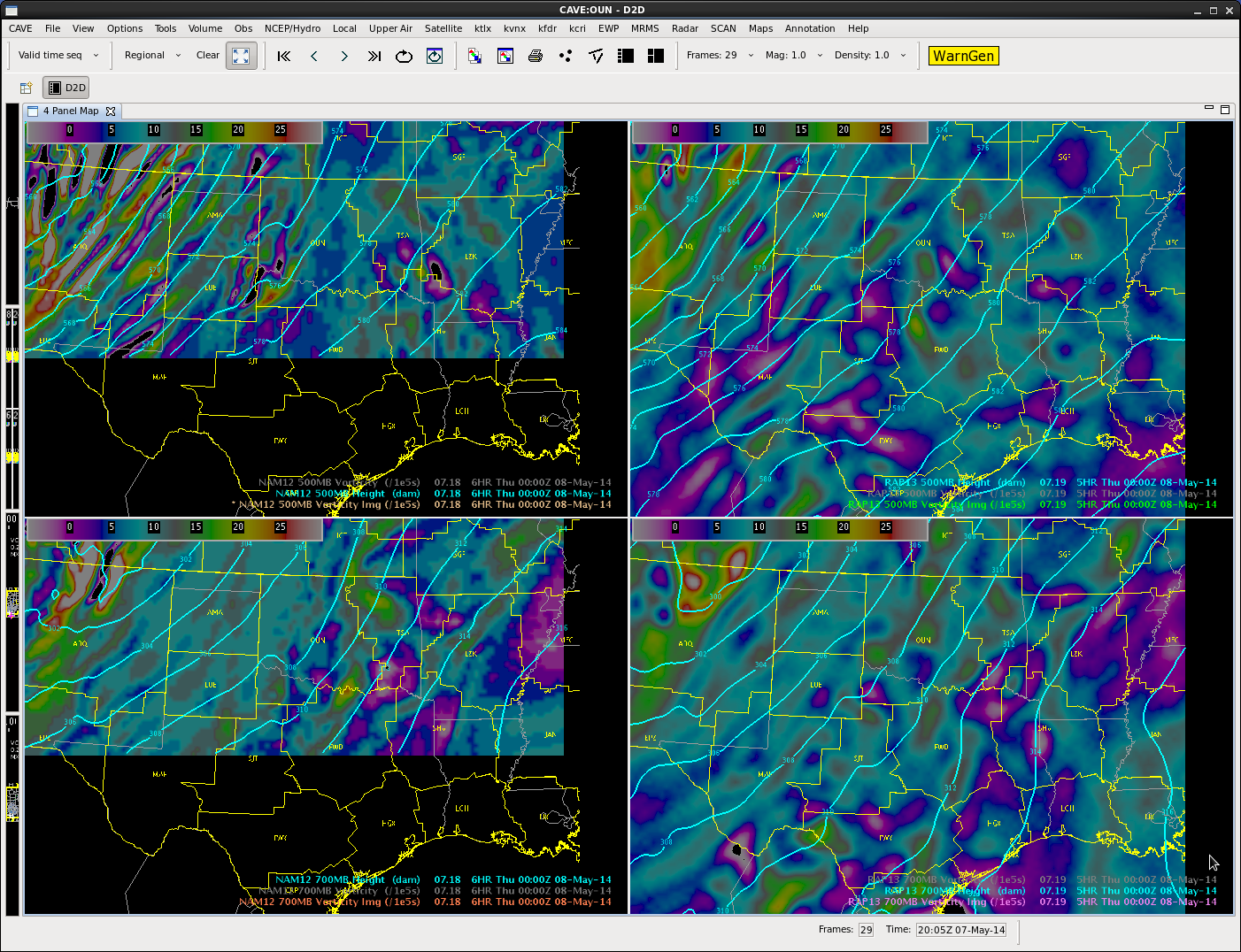
NAM/RAP 500/700 Heights/Vorticity not showing any strong upper waves coming through this afternoon and evening.
Satellite and surface data show some mid level cloudiness moving through the southwest portions of the CWA. Dry line resides across far western portions of OK. Moist southerly BL flow continues across central and eastern portions of the area.
Nearcast moisture fields indicate increased PW’s and higher Theta E moving into the area by late afternoon and early evening.
Convection has initiated just south of the forecast area and just east of the dry line.


