
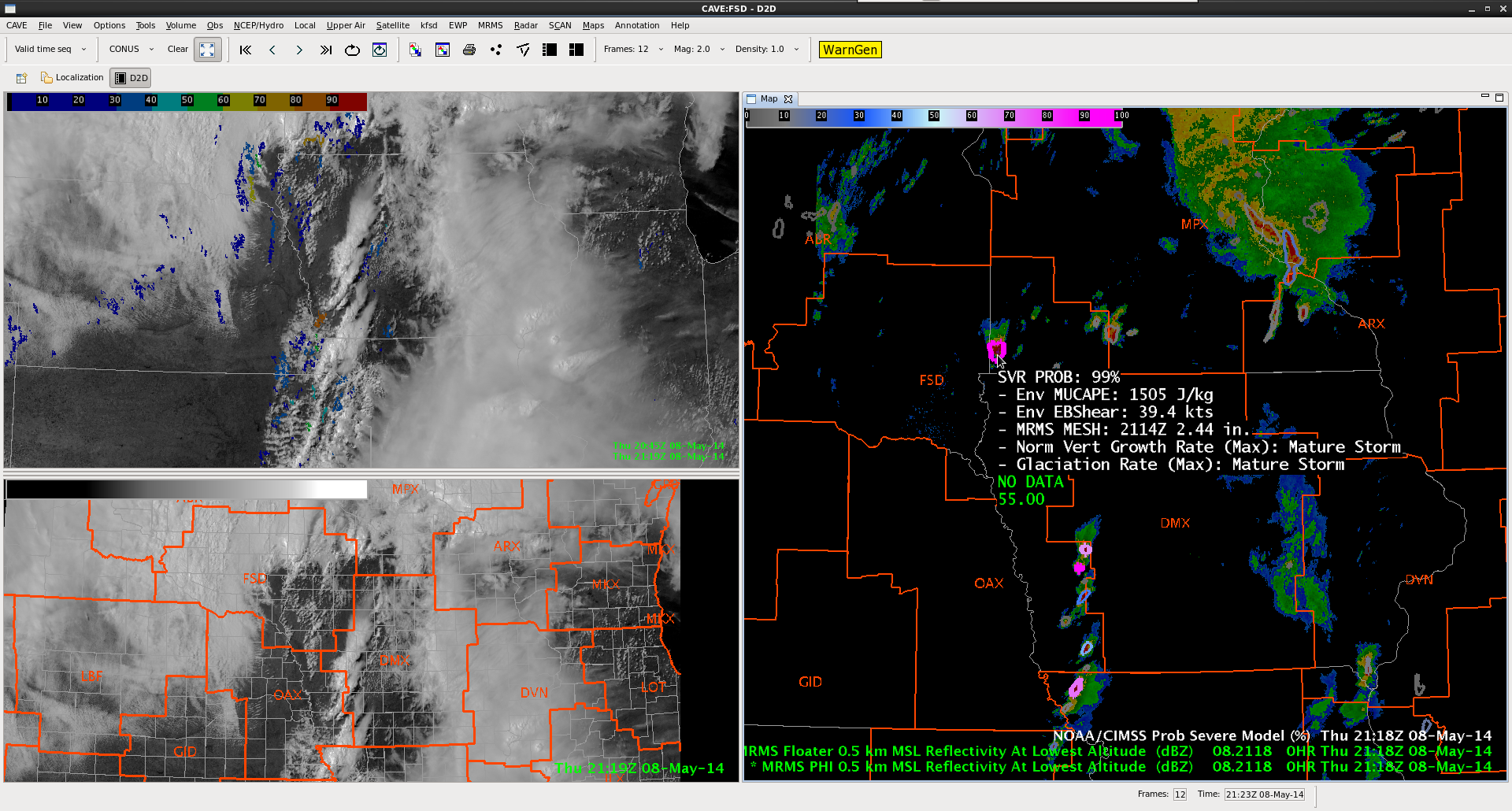
While ICT still has the possibility of severe convection later this afternoon / evening (a severe thunderstorm watch was recently issued), due to the limited operational time left today that team is moving to the Souix Falls (FSD) CWA which is covered by the tornado watch. Severe convection is already ongoing in the region (note the 99% probability of severe in the next hour in the ProbWarn Product in the image below). Meanwhile a line of storms are about to move into the DMX CWA.
-K. Calhoun, Week 1 Coordinator